
Quick report
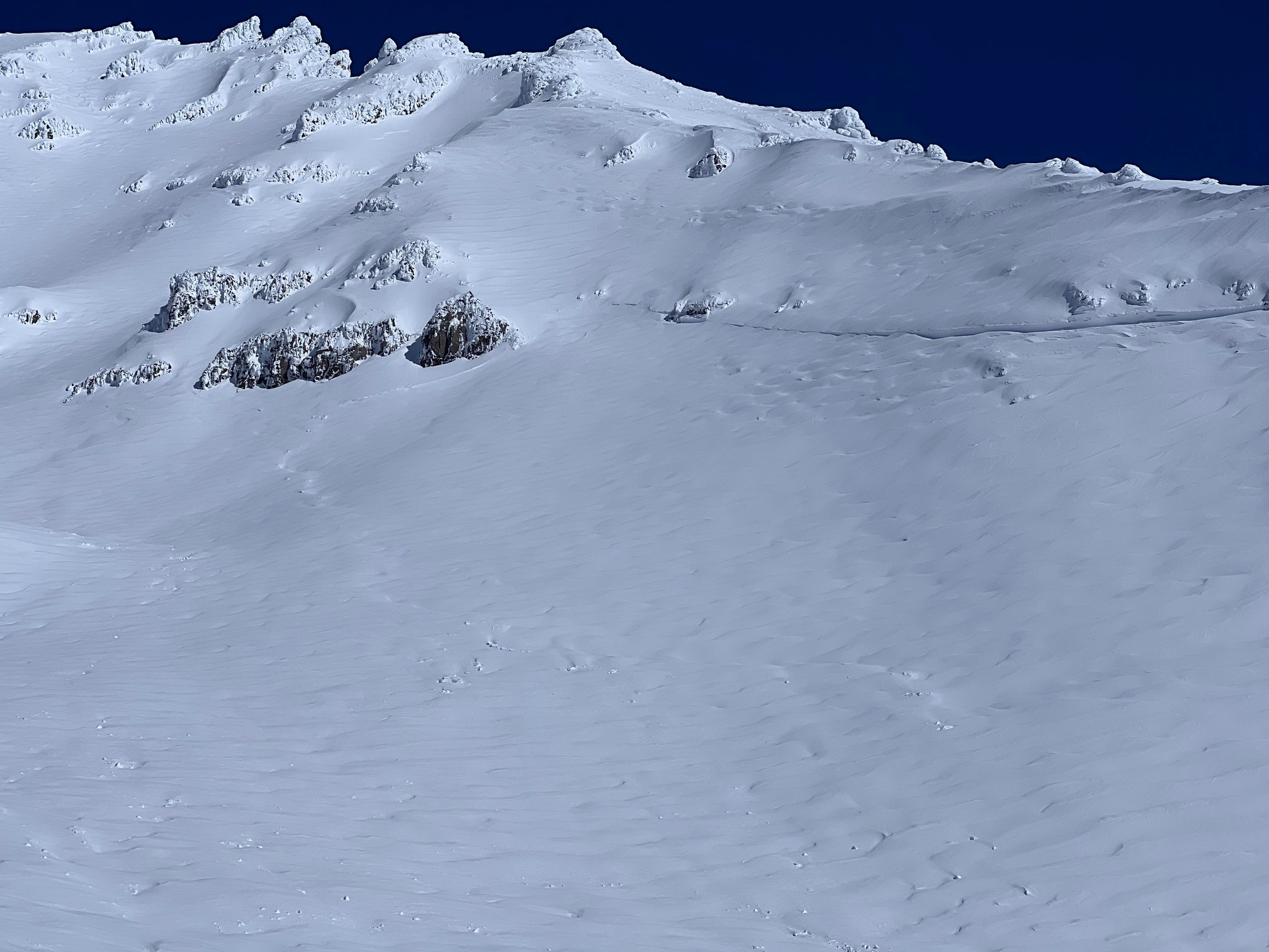
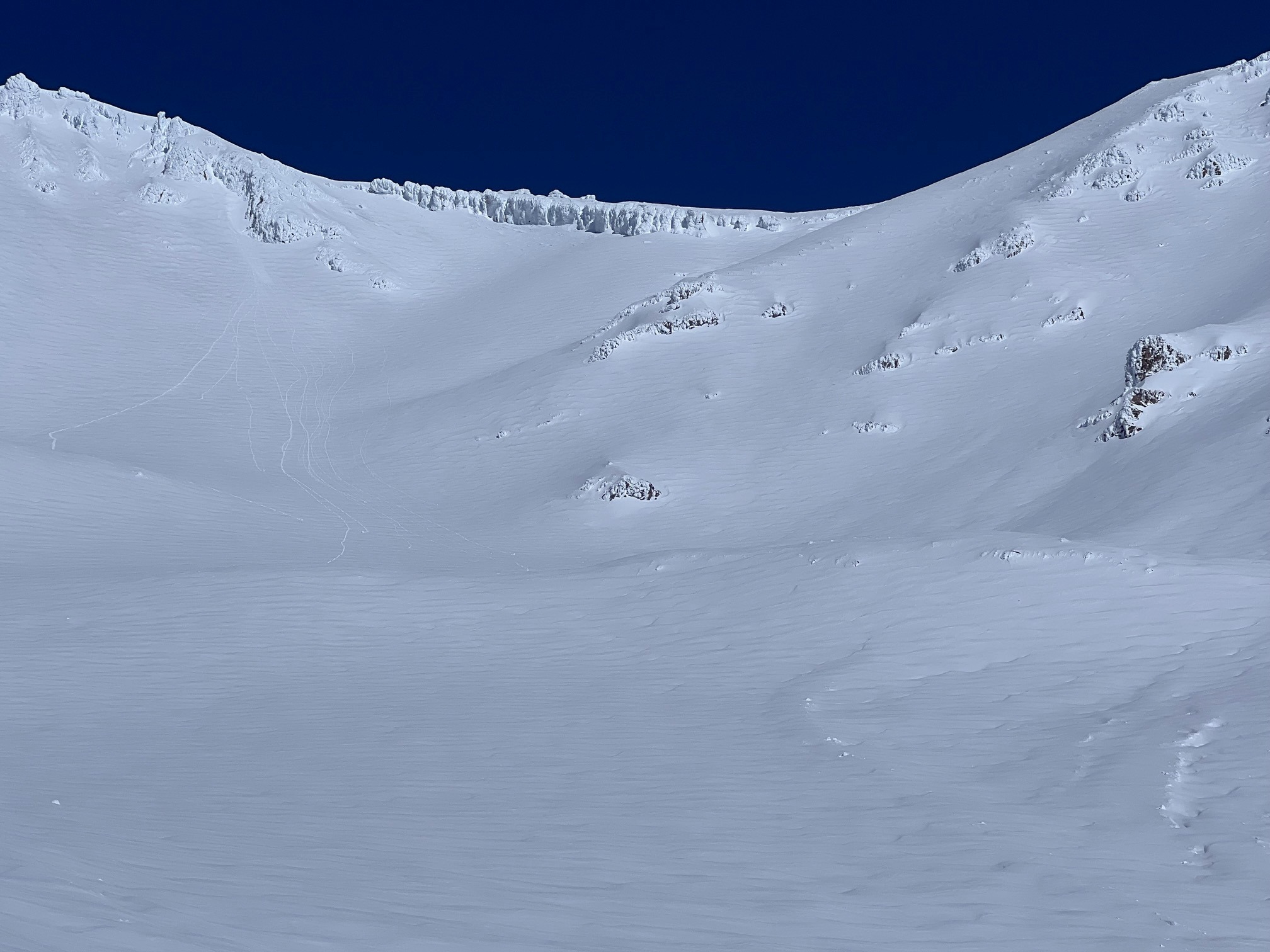
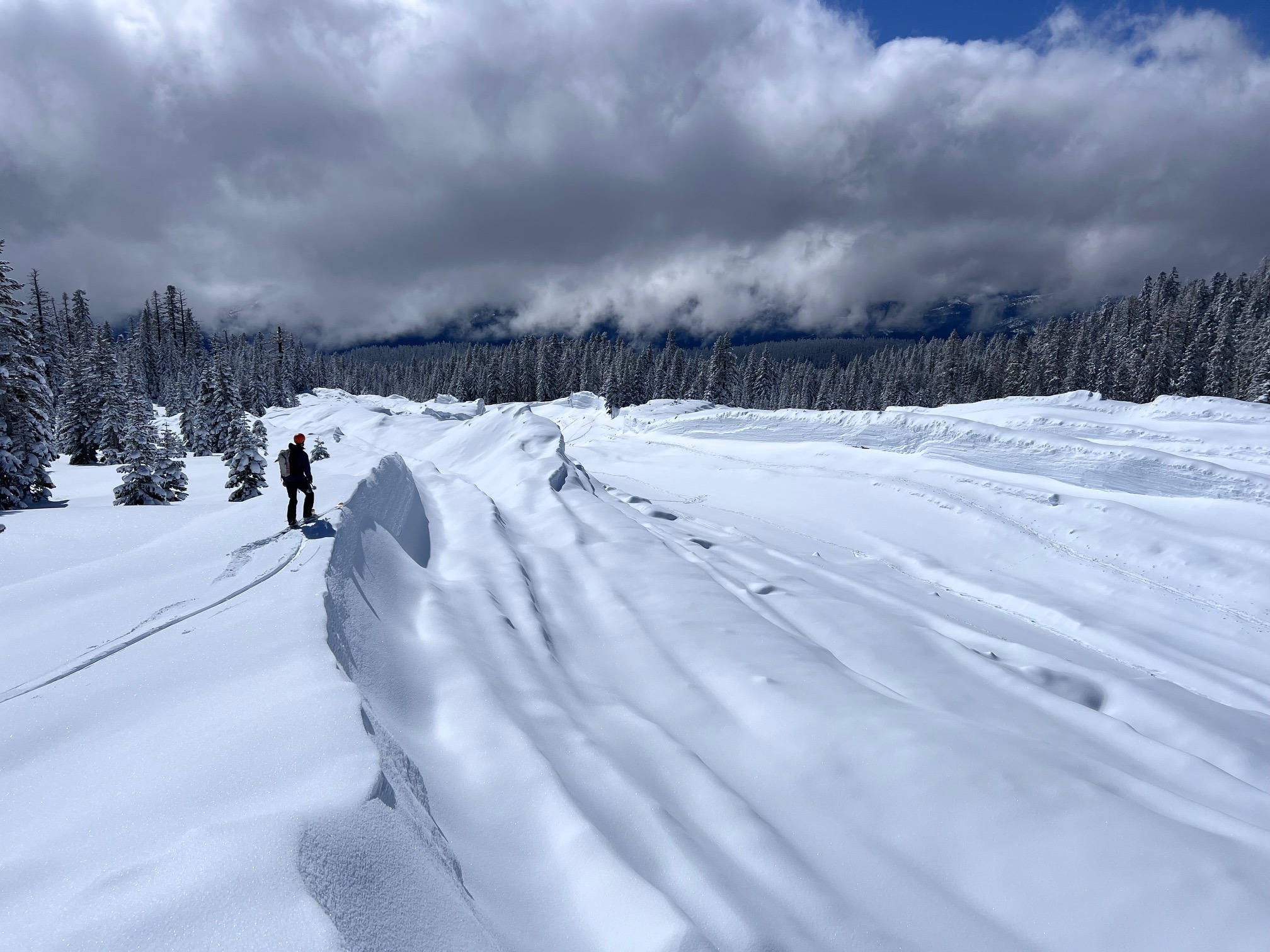
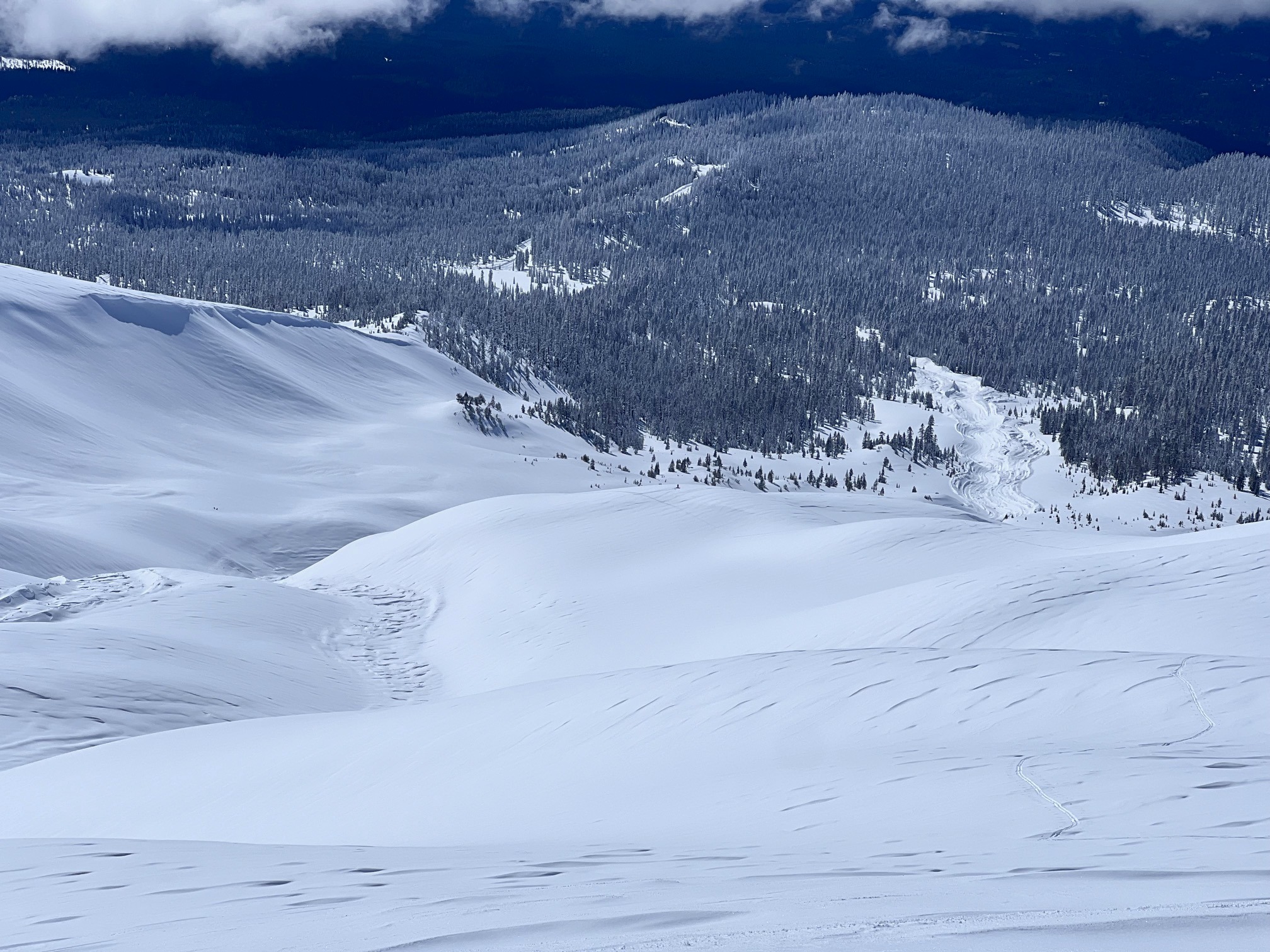
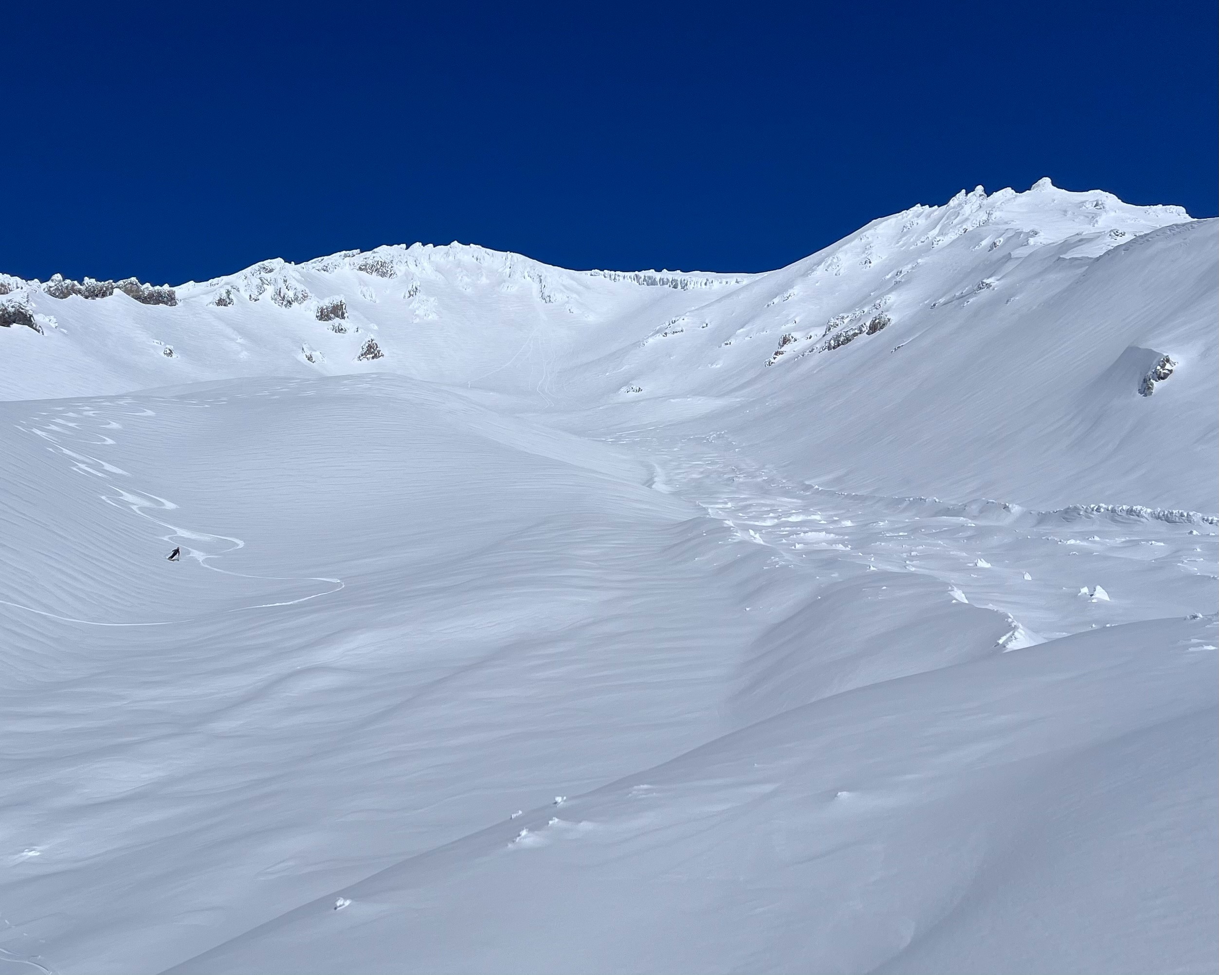
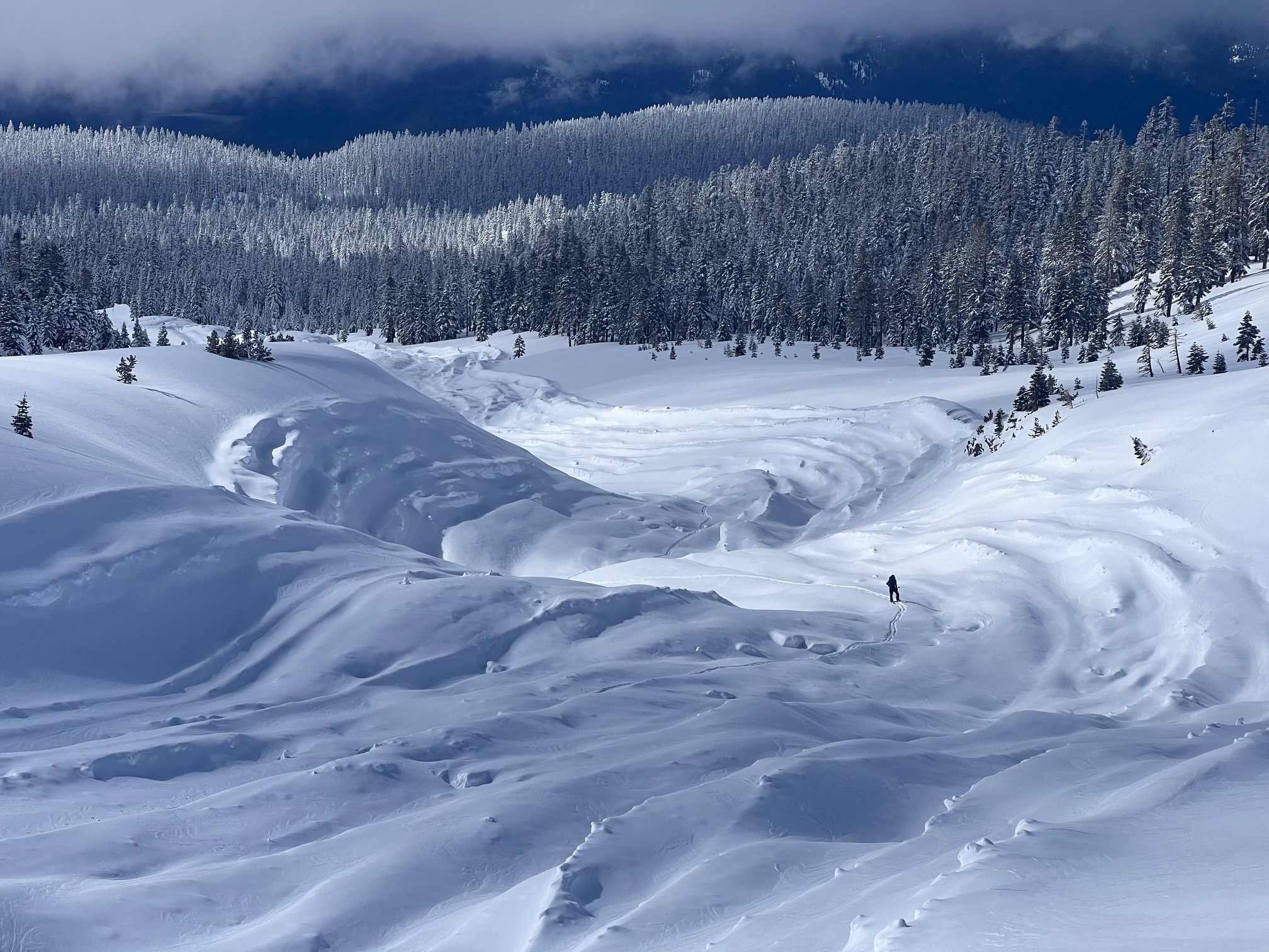
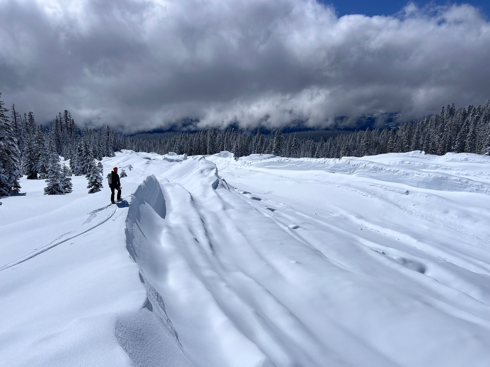
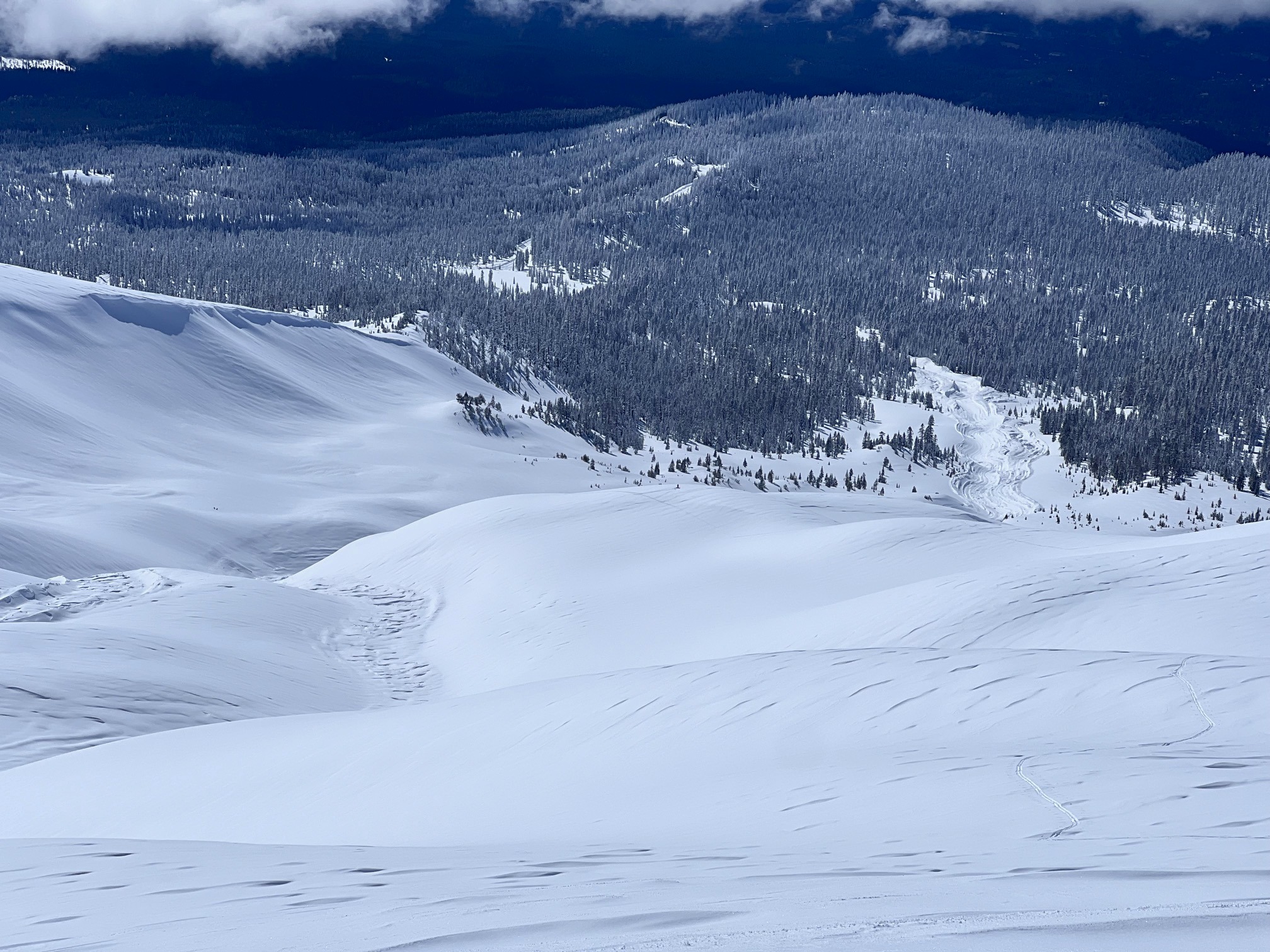
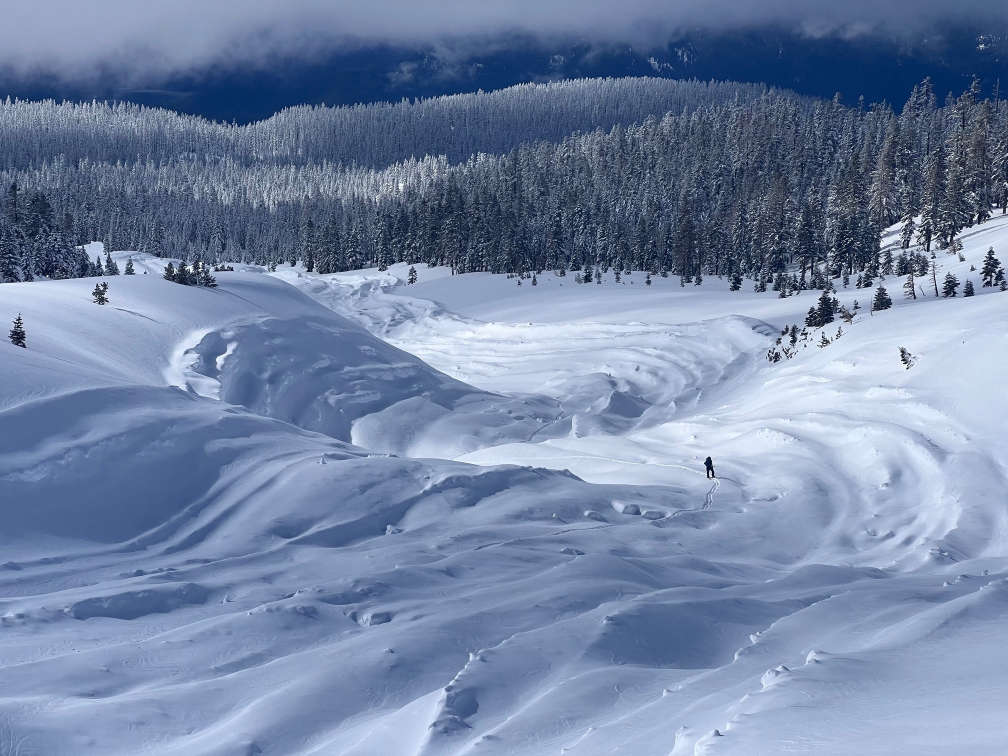
Large (D4) Avalanche with visible crown at 10,500 to 11,000 feet which ran in historic slide path to 7,150' knocking over mature trees and leaving large, scoured features in it's wake. Vertical walls of 50'+ with obvious large flowing debris and toe over 50' tall. Would expect a higher start zone but no visible clues to confirm this
Weather
- Air Temp
- 30
- Cloud Cover
- few
- Wind Loading
- light
- Recent Snowfall
- 10cm overnight
- Snow Avail For Transport
- small smounts
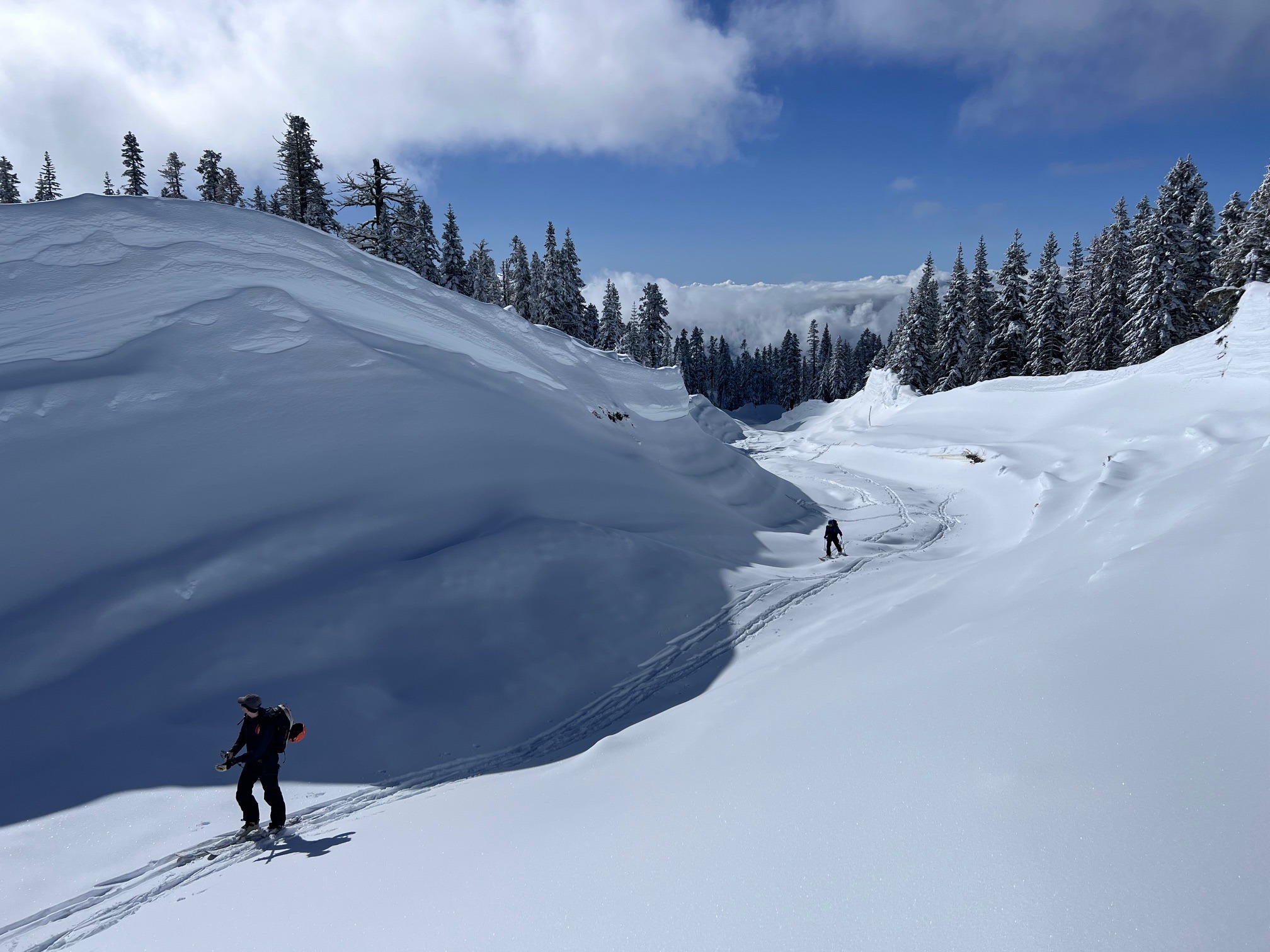
Clear, cool weather light nw breeze.
Snowpack
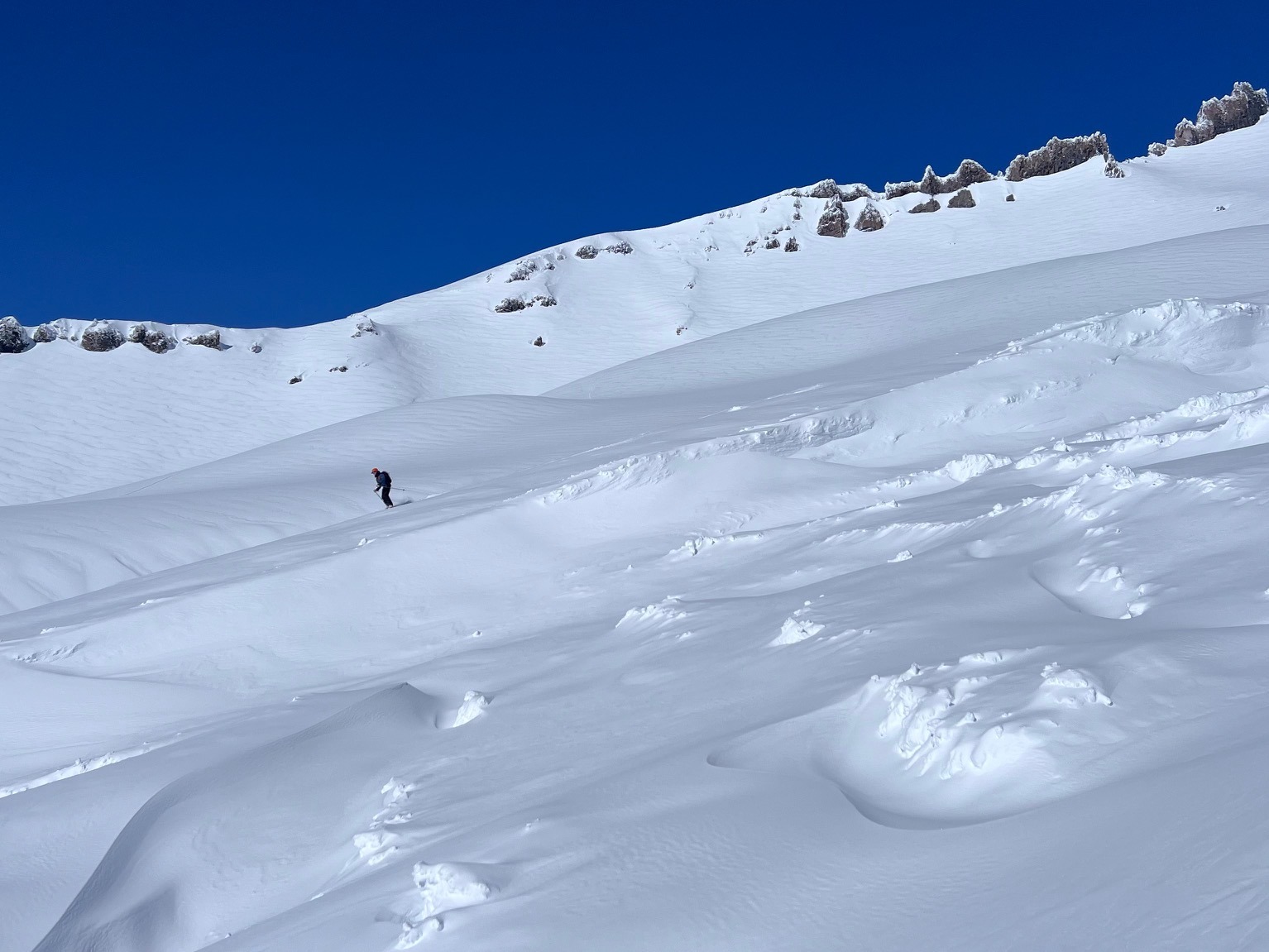
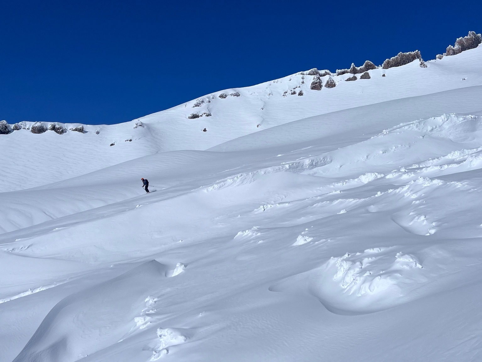
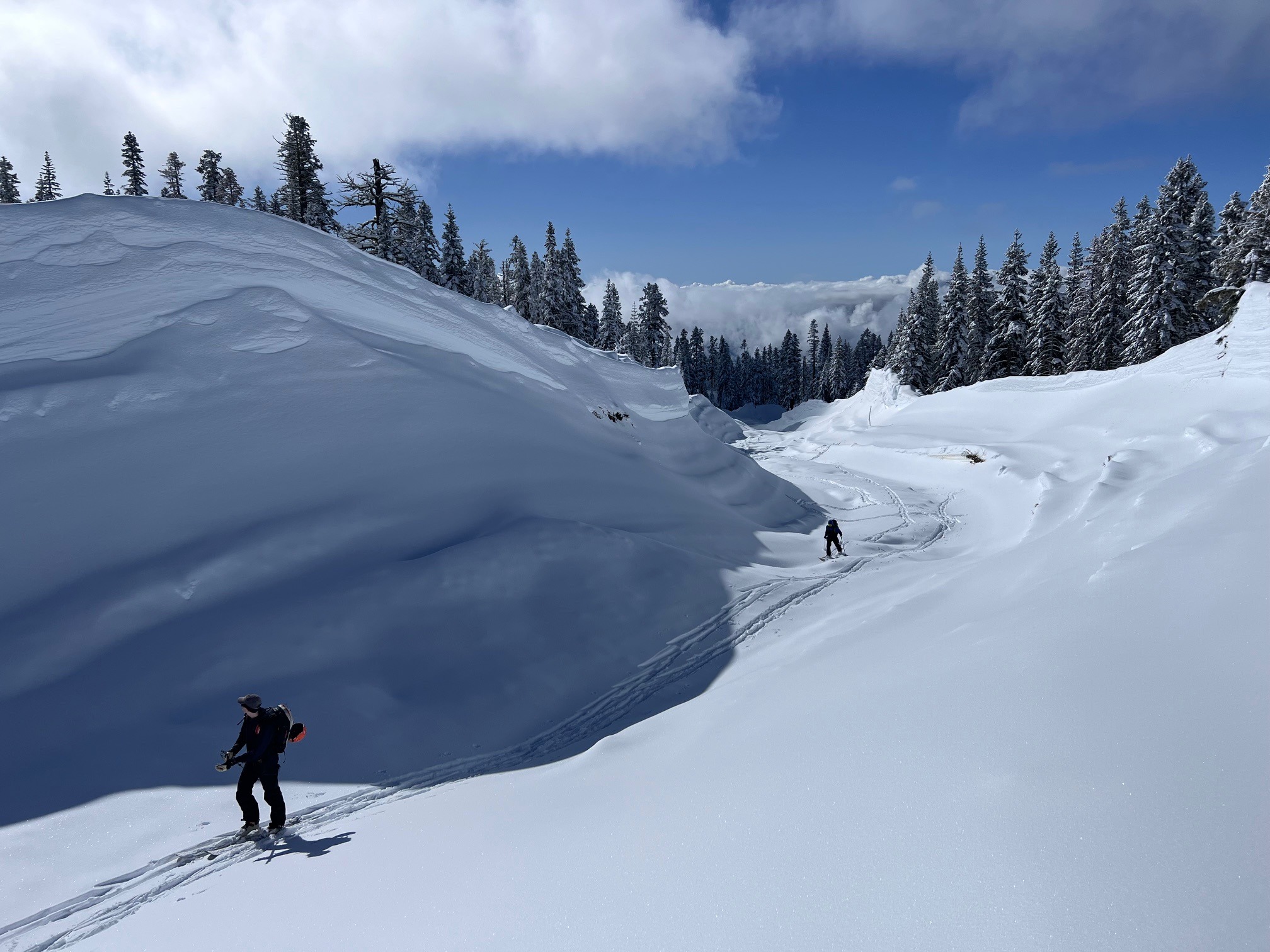
Some light new snow and cooler temps made for good travel and ski conditions. Snow pack is transitioning, ski penetration was 10-15cm, boot penetration 20-30cm
Avalanche
- Size
- D4 R4
- Type
- HS
- Aspect
- SW
- Trigger
- N
- Elevation
- 10500 ft
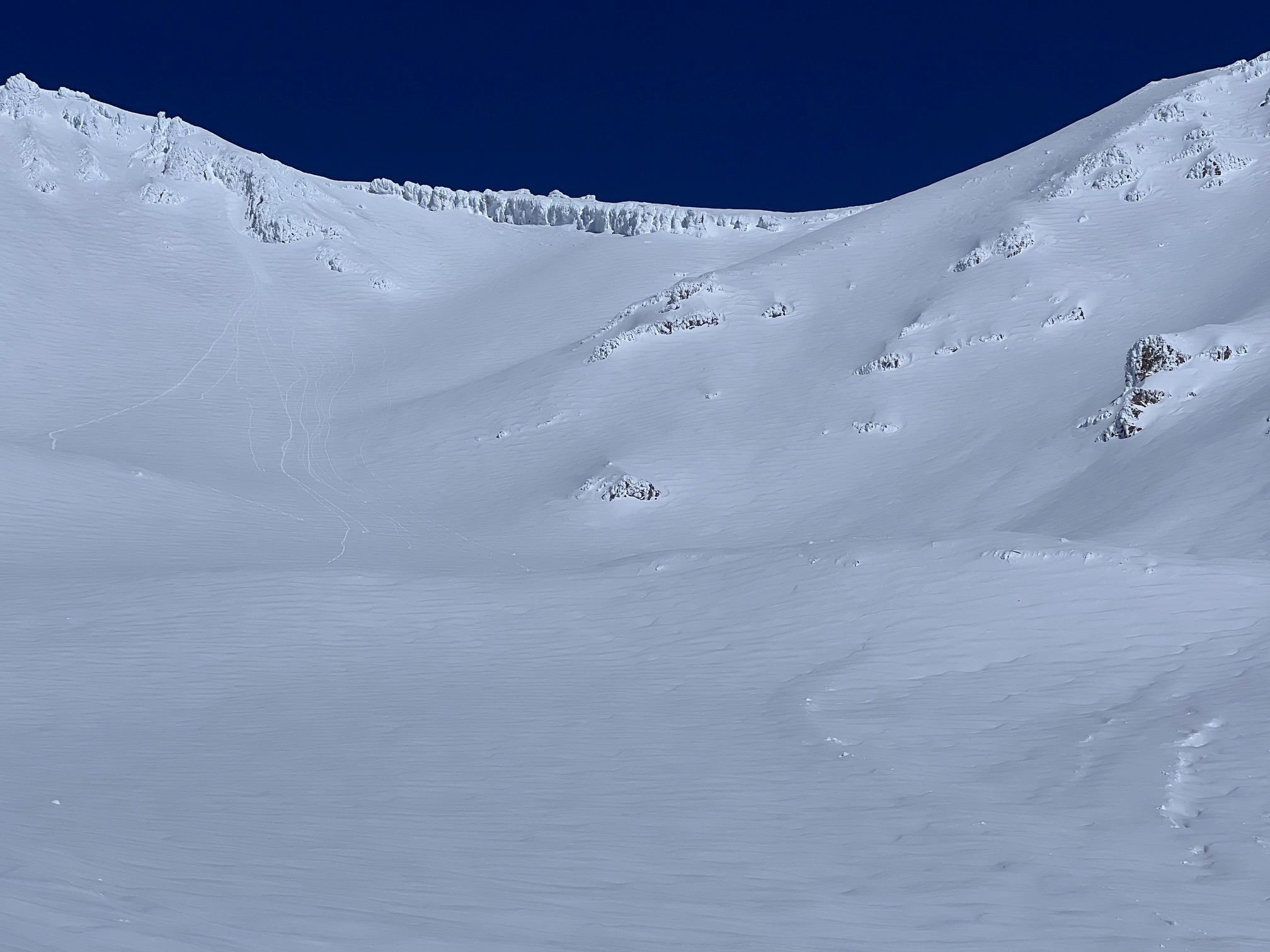
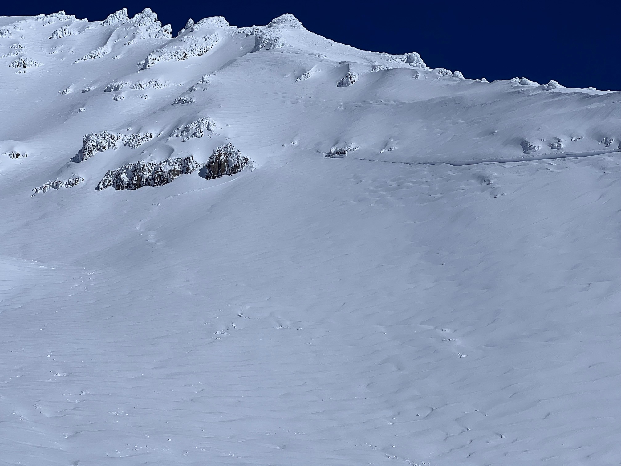
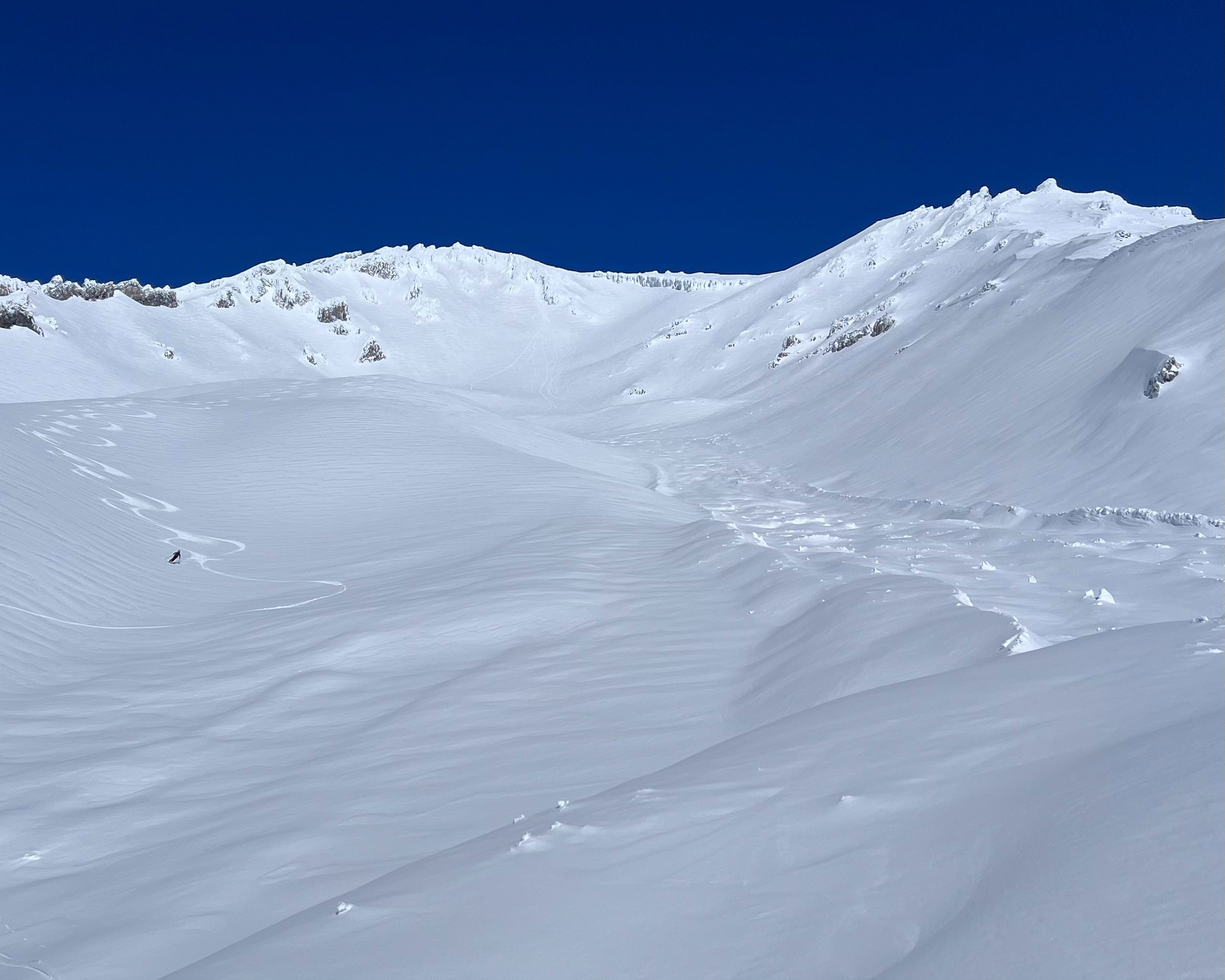
Estimated natural avalanche on 2/19/24 during intense winter storm. Crown visible on W/SW aspect of Green Butte at approximately 10,500 to 11,000 feet. There was no other visible clues above Lake Helen. Mostly smooth consistent snow surface with some minor wind effect. Avalanche was contained to the gully where it did flow through low angle terrain, knocking mature trees down to 7,150'. With the distance travelled and amount of debris deposited, it would indicate a higher starting zone entraining massive amounts of snow, however there were no visible clues to confirm this.