
Quick report
- Cracking
- isolated
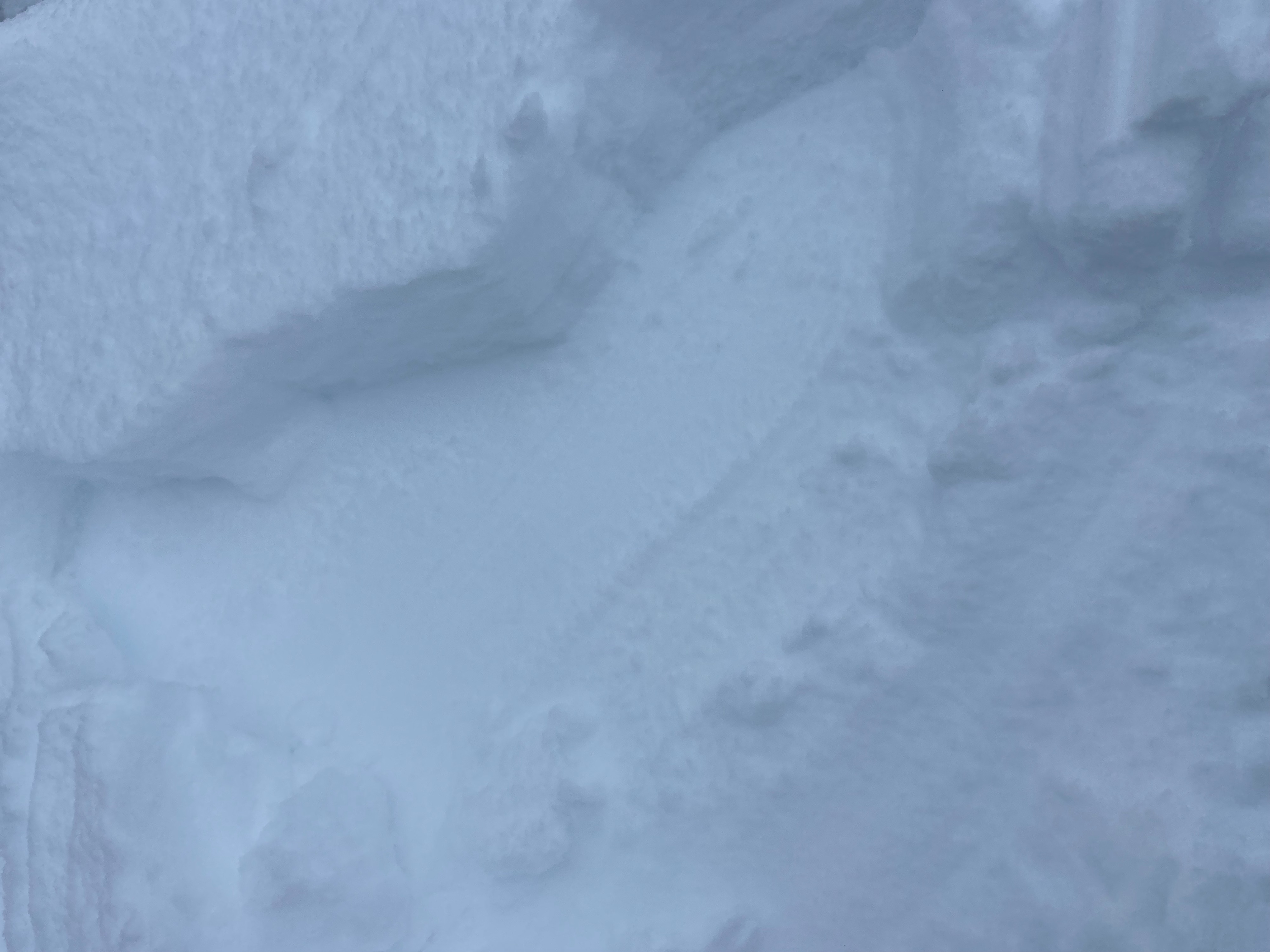
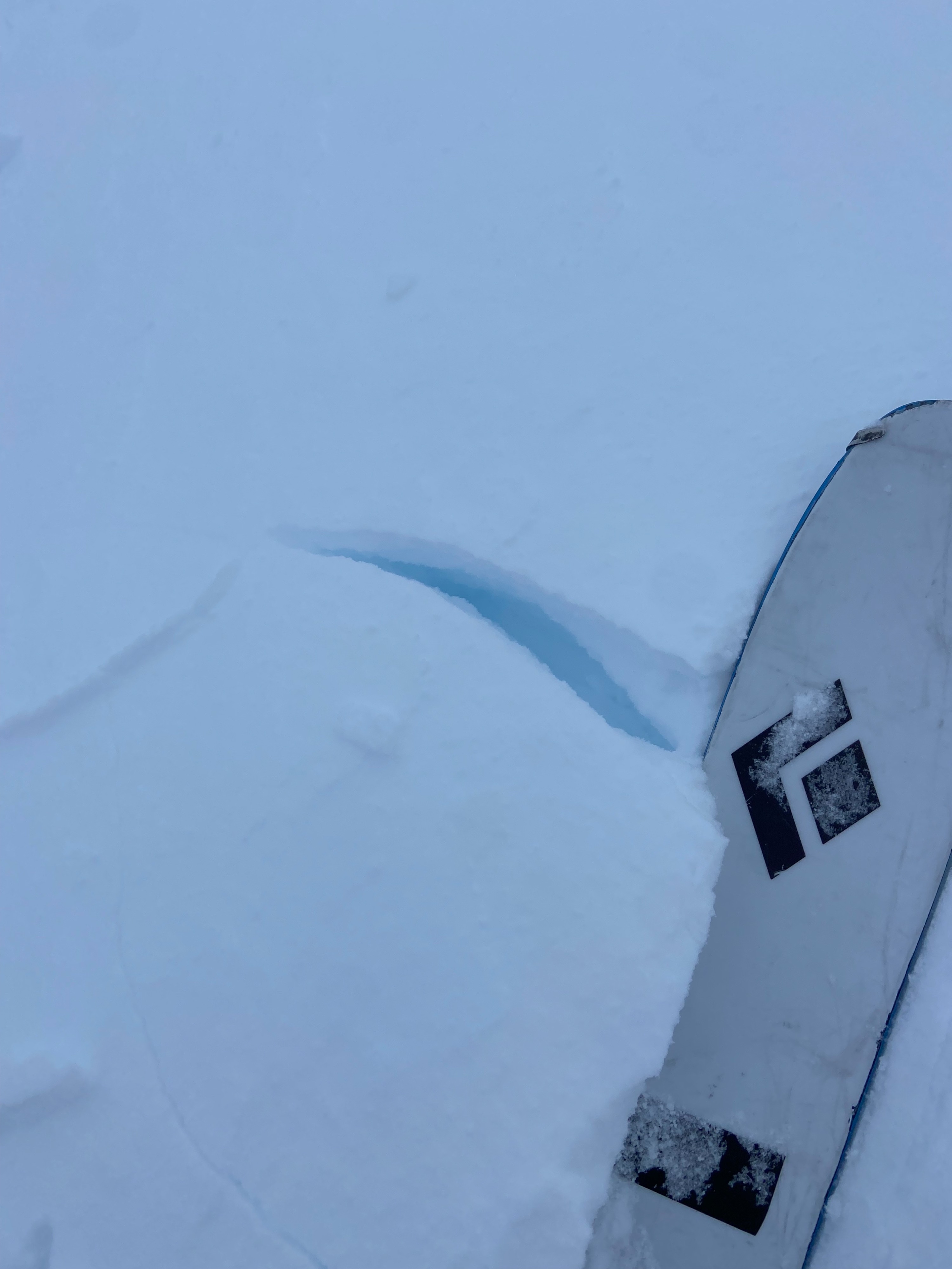
I observed some very small cracking in wind drifted snow on north to east aspects.
Weather
- Air Temp
- 25
- Cloud Cover
- obscured
- Wind Loading
- moderate
- Recent Snowfall
- 7
- Snow Avail For Transport
- moderate amounts
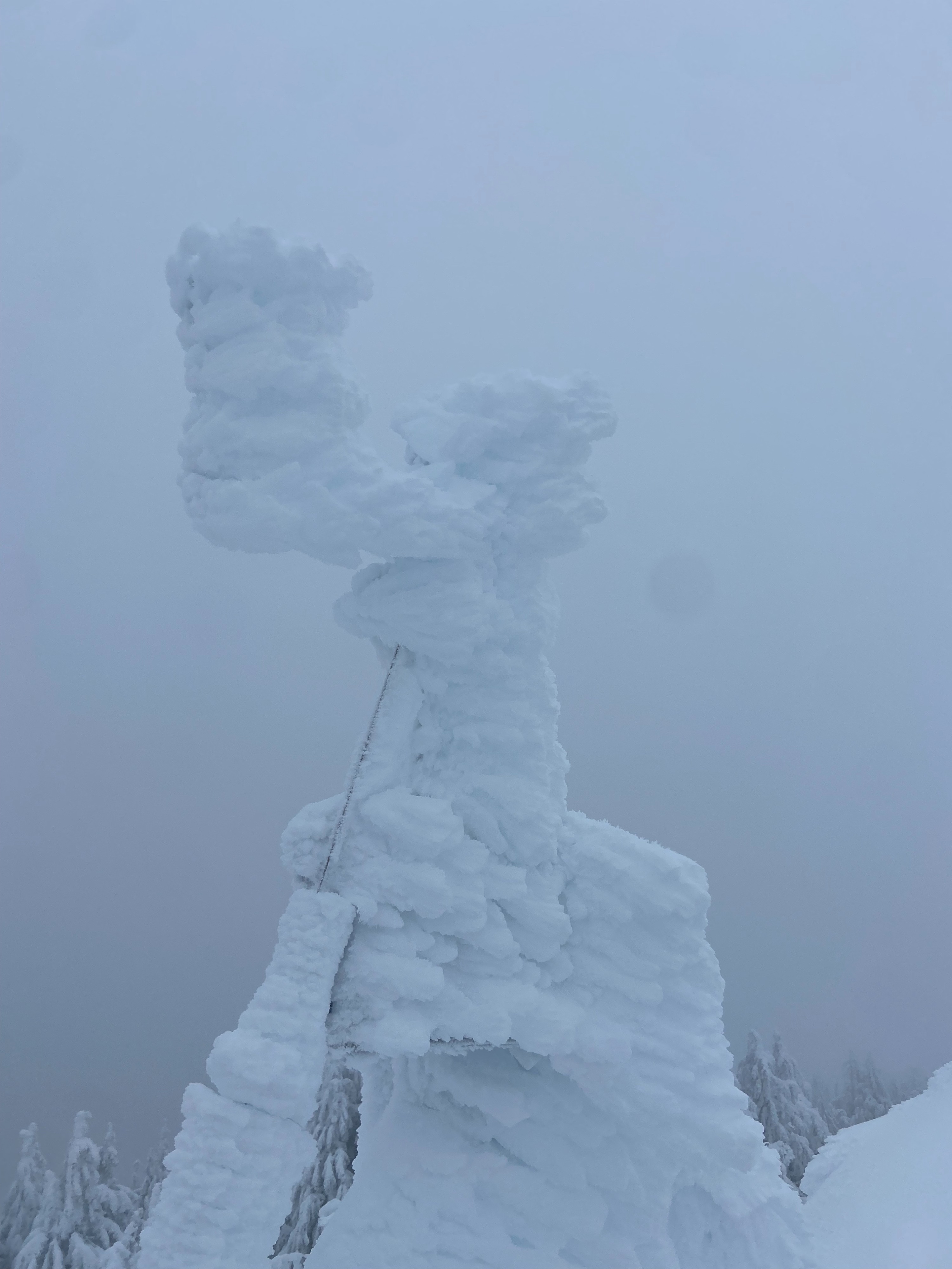
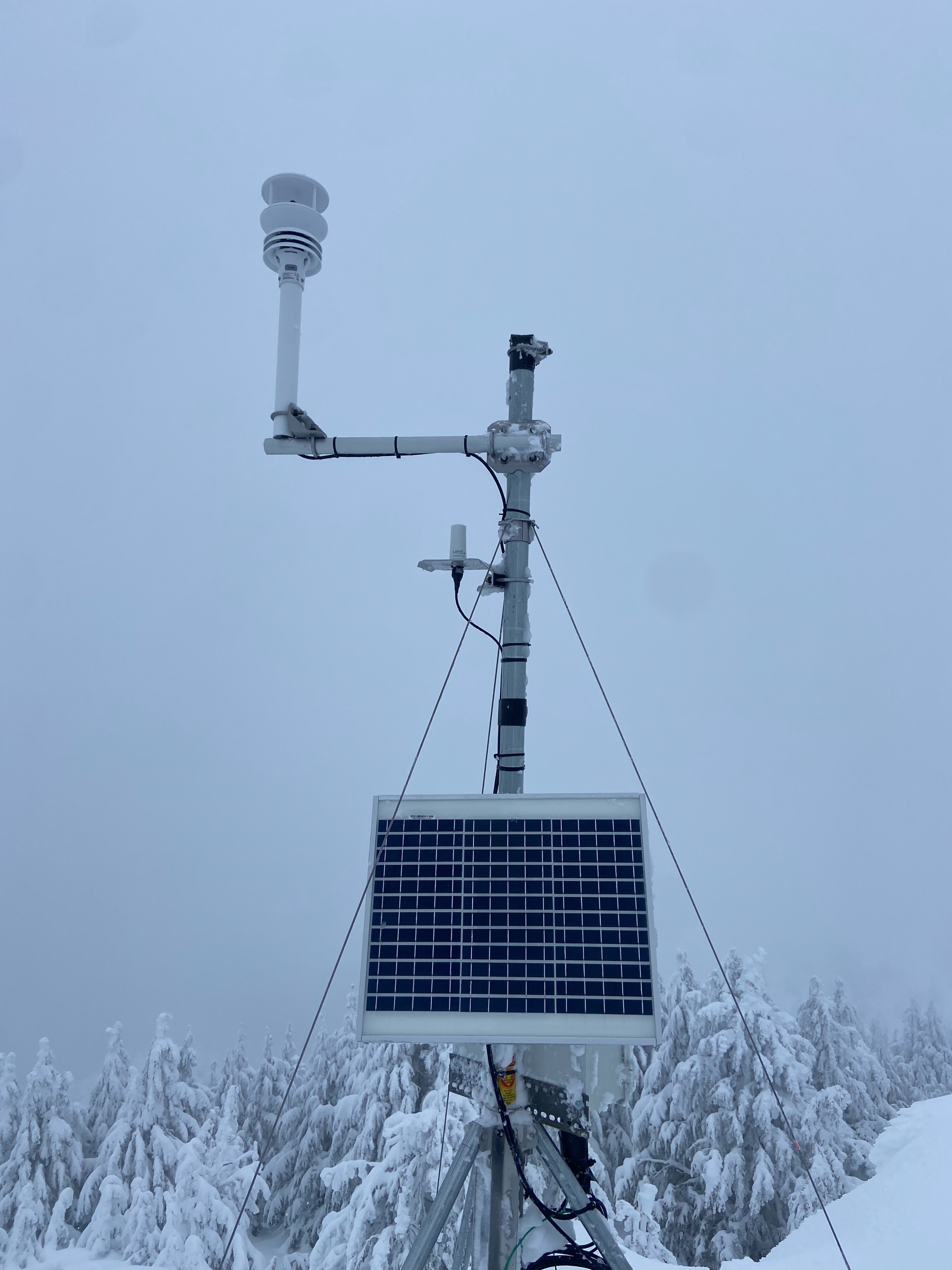
In the morning the summit was mostly in a cloud with the occassional clearing. By the afternoon the clouds lifted and visibility greatly improved. Temperatures were in the mid to upper 20's. Winds were light to moderate from the south.
Snowpack
10-mile sno-park had received a dusting of snow overnight and as I traveled to the summit the new snow amount increased. At the summit I found 2-3" of new snow from overnight and around 12" of storm snow from the past several days. At 7,500ft the height of snow was 66" (170cm). I found the top 12" to be recent storm snow (Fist in hardness) and below that was older decomposing fragmented snow (4F in hardness). Below this I found the latest rain crust which was down 24". I did not find any weak snow above or below this mid-pack rain crust. The lower snowpack consists of older rounded snow (1F in hardness) and a mix of crusts at the base of the snow. I was able to find some old rounding facets that we have been reporting near the base of the snowpack. However, they appear less uniform and I did not get any results in column tests on this layer.
I performed many hand shears, extended column tests and a deep tap test. I did not find any alarming results. The main sign of instability I found was some cracking in the recently formed wind slabs on north and easterly aspects near the summit. As always variability occures within the snowpack throughout the terrain.