
Quick report
- Cracking
- isolated
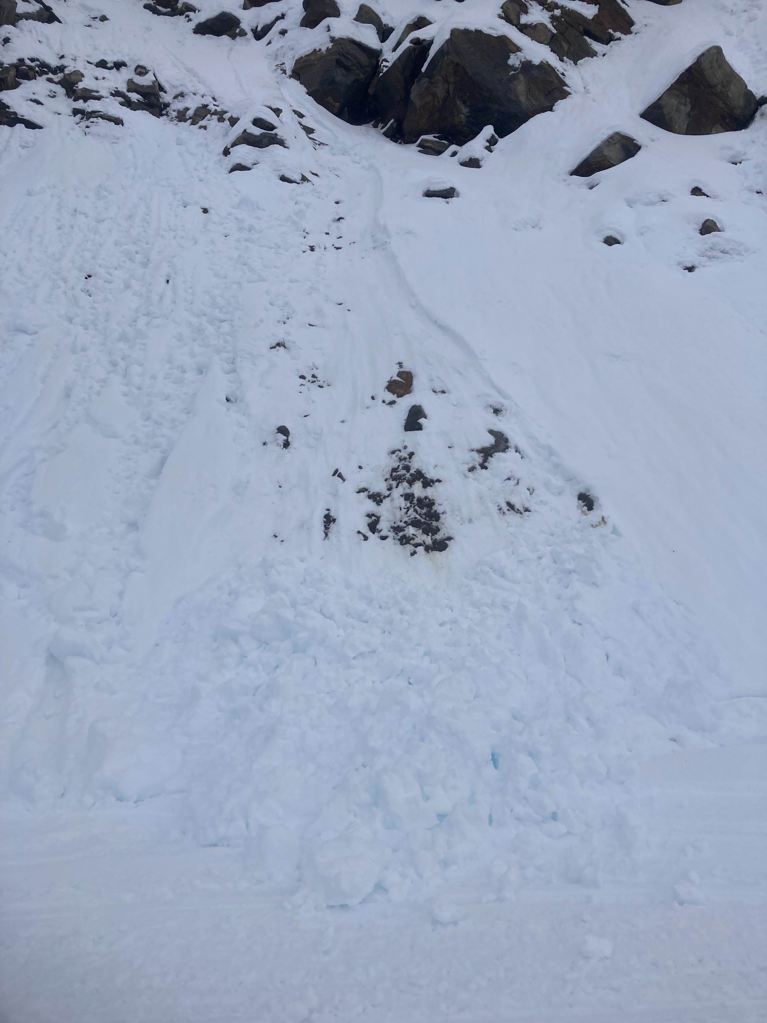
We observed recent wind slab avalanche activity above 8,000 feet, just below ridgetops. Isolating cracking when stomping on wind-loaded test slopes.
Weather
- Air Temp
- 29
- Cloud Cover
- overcast
- Wind Loading
- moderate
- Rain Elevation
- ~6,500
- Recent Snowfall
- 30
- Snow Avail For Transport
- small smounts
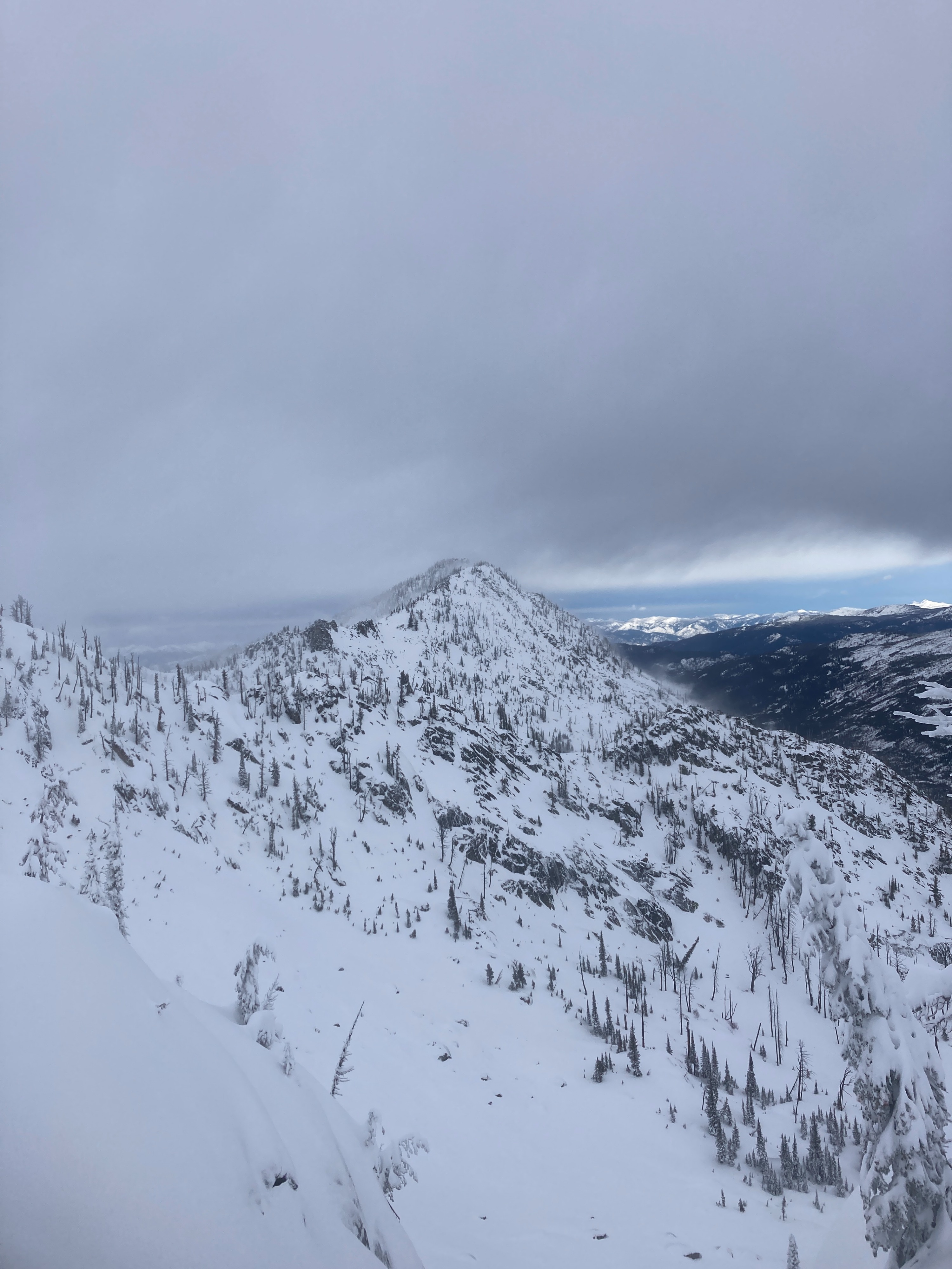
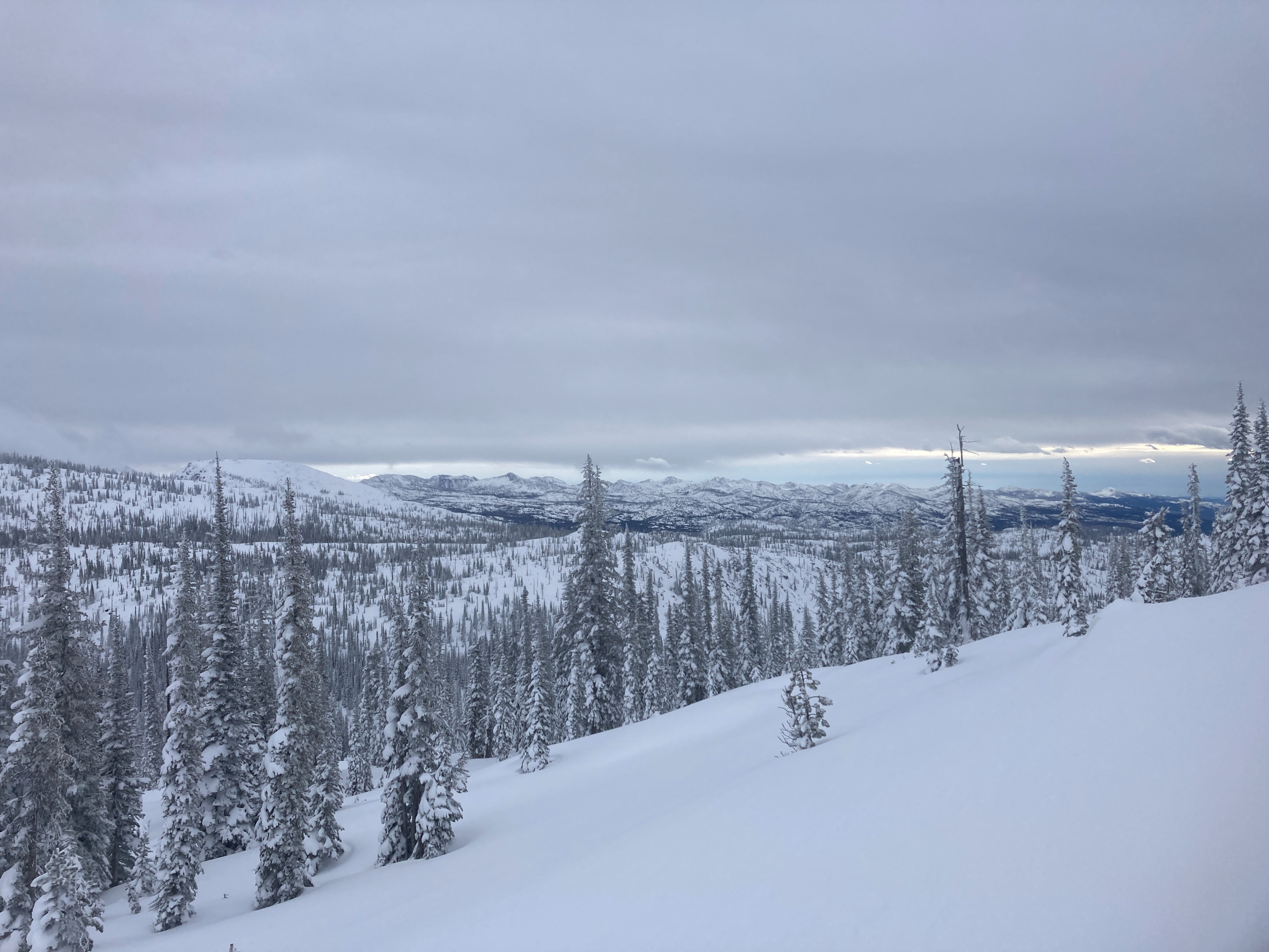
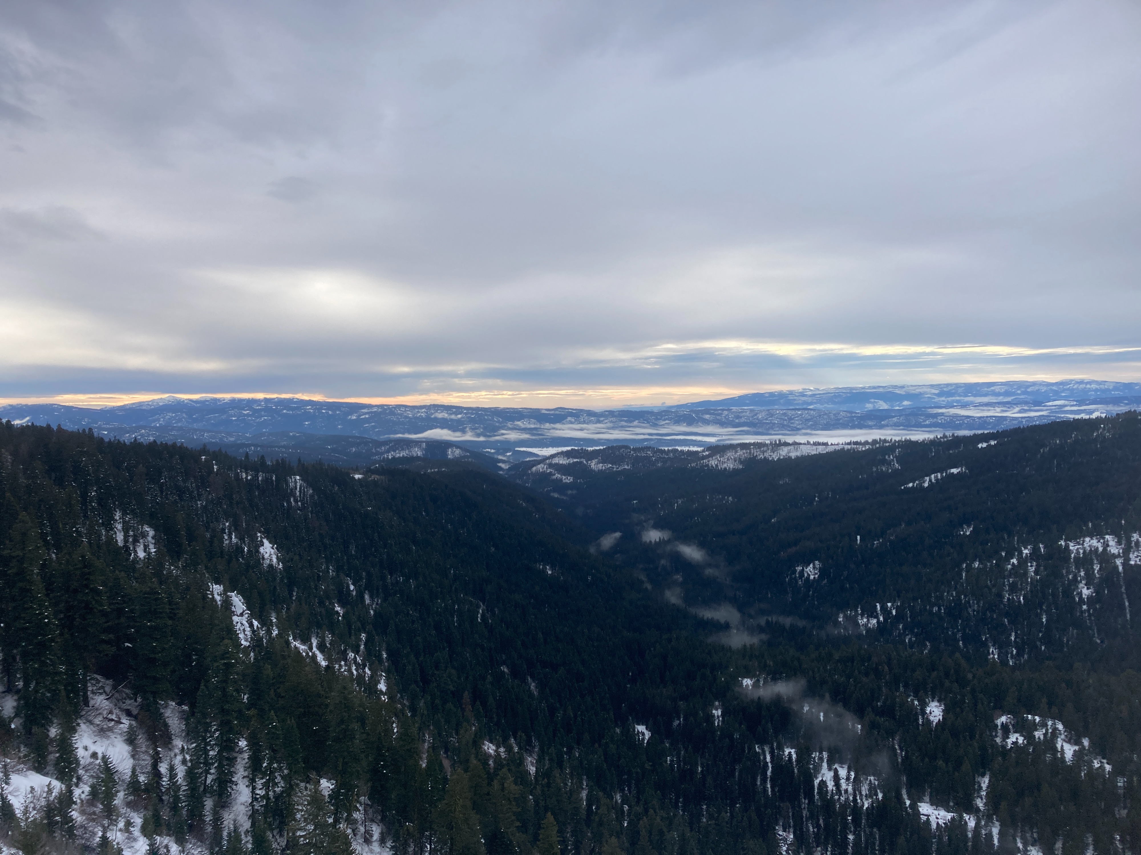
It was raining at the Titus lot at 1000. Rain transitioned to snow around 6,500 feet. Precipitation tapered off around 1200 and stayed dry for the remainder of the day. Cloud ceiling around 9,000-10,000 feet. Strong S/SW winds blowing above 7,500 feet. Temperatures were warming slightly throughout the day.
Snowpack
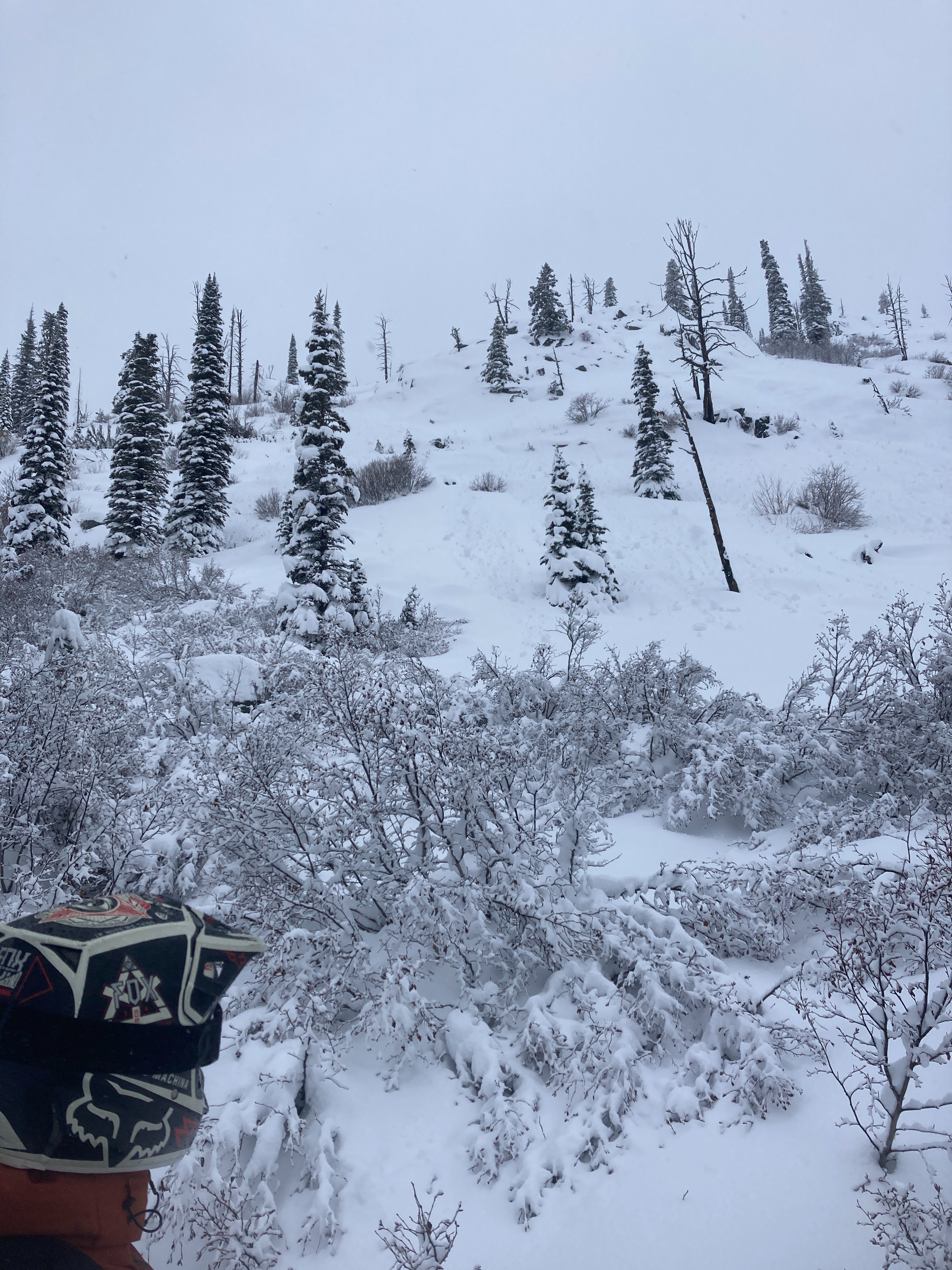
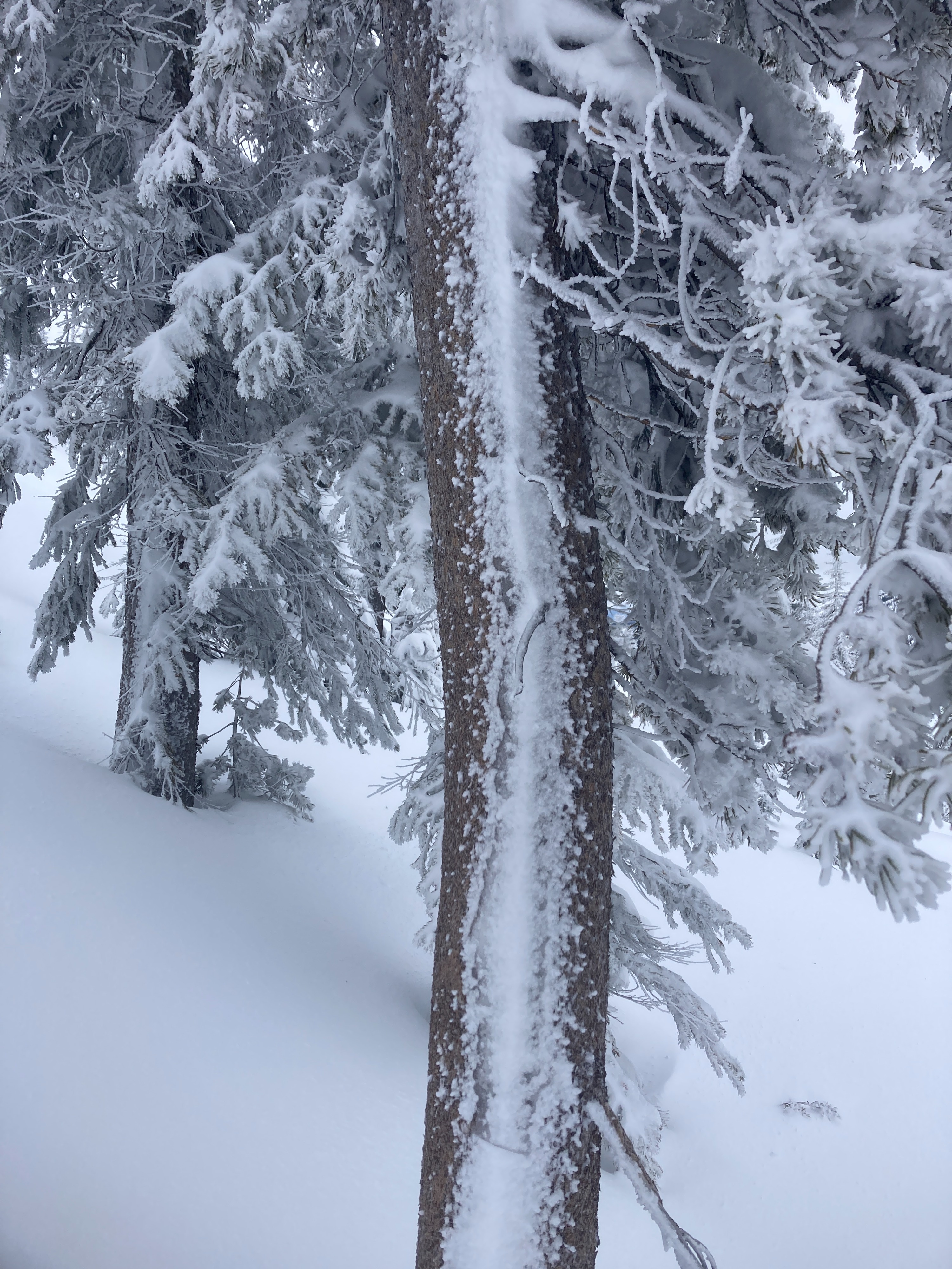
2-3 feet of new snow in the mountains in the previous 7 days. The majority of the snowpack below 7,000 was saturated from recent rain events. Above 7,500 feet, we observed 3 feet of new snow since 12/16. 30 cm (12 inches) was from the Solstice storm (12/21). Recent storm snow was upside-down and showed potential for propagation in ECTs at 12/21 interface. Winds were actively blowing and drifting recent snow into wind slabs above 7,500 feet. Below 7,000 feet, a saturated snowpack was becoming cohesionless with pinwheels and rollerballs picking up steam as they tumbled down steep slopes.
Avalanche
- Size
- D1.5
- Type
- SS
- Aspect
- SE
- Trigger
- N
- Elevation
- 8400 ft