
Quick report
It seemed like the snow and wind that the Cascade zone recieved over the weekend came to Paulina Sunday/Monday. There is a nice 10-15cm of new fluffy snow on top of our rain crust from Jan 1. This new snow made for much nicer skiing, with only the occasional scrape on the rain crust in scoured areas. At 7600' I found an average of 80 cm of snow with some wind drifted areas up to 115 cm.
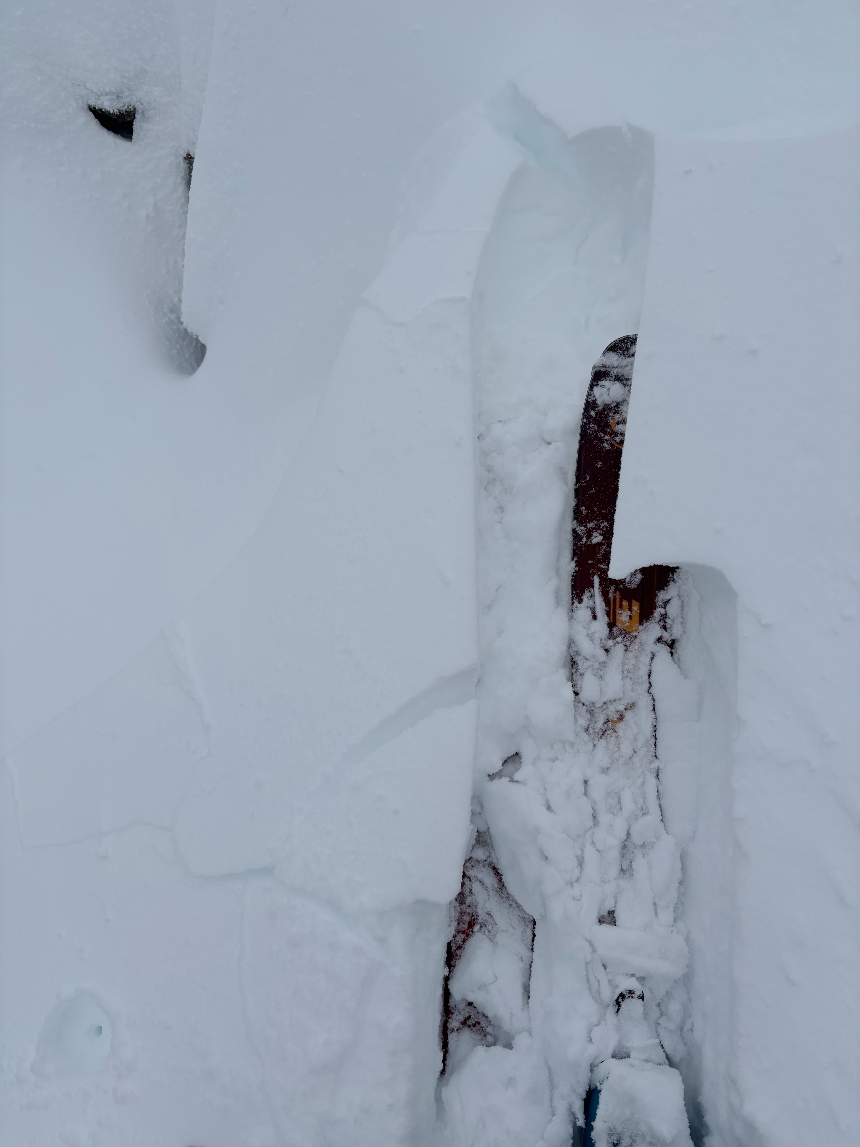
This new snow and wind also brings with it our wind slab problem. Most of the wind slabs I came across were soft, although I did come across a few more dense slabs. On a small test slope in open trees I was able to get a small slab to break (see picture) and in a column test on a NE aspect at 7600' I observed some instability between our new snow and the rain crust (CT14 down 15cm). I also observed moderate gusts and current snow transport as I was touring and I would be careful to keep an eye out for 10-20cm wind slabs, especially below ridge lines on N and E facing slopes.
Weather
- Cloud Cover
- overcast
- Wind Loading
- moderate
- Rain Elevation
- 1/1 Rain crust up to summit
- Recent Snowfall
- 10
- Snow Avail For Transport
- moderate amounts