
Quick report
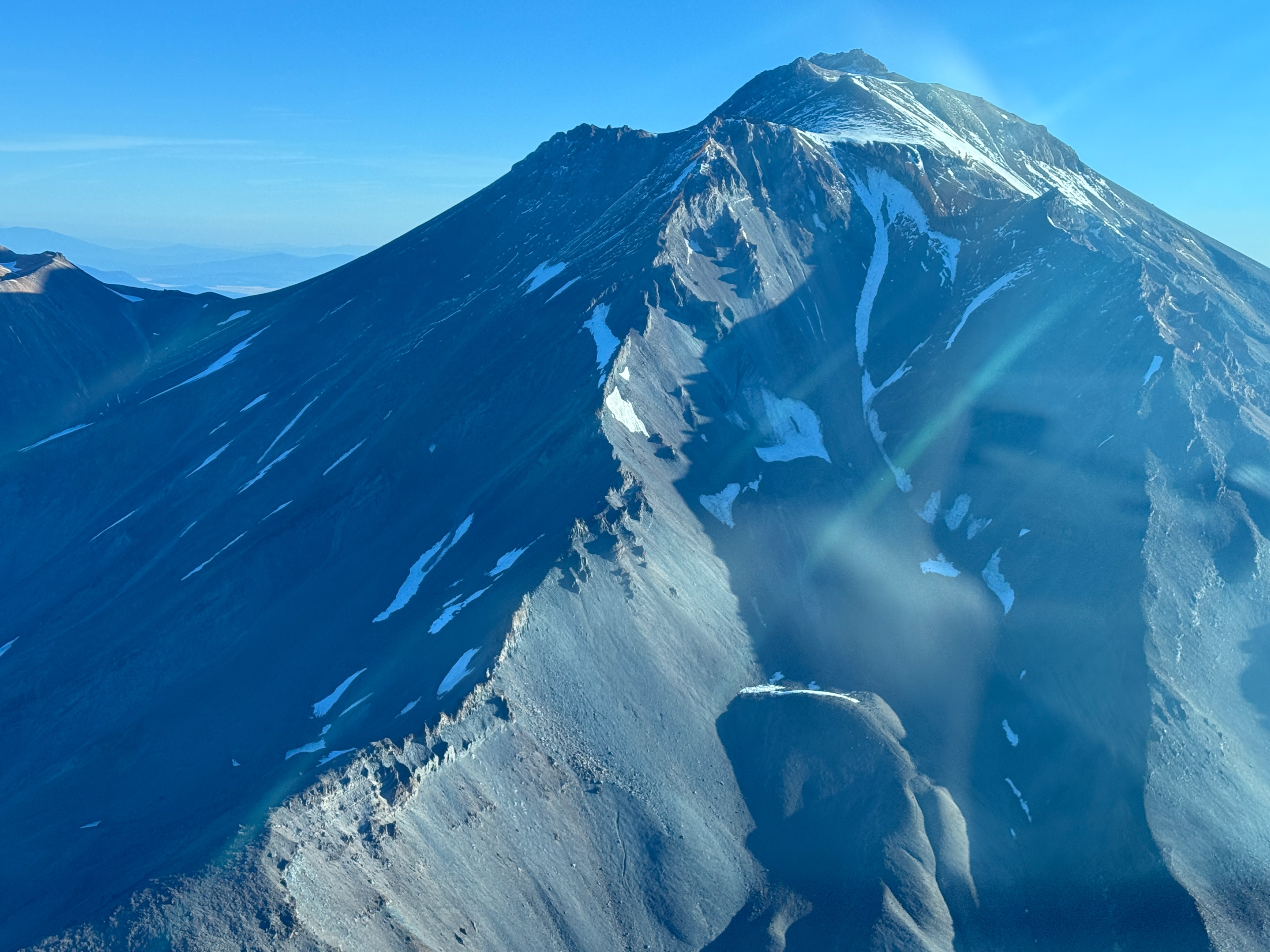
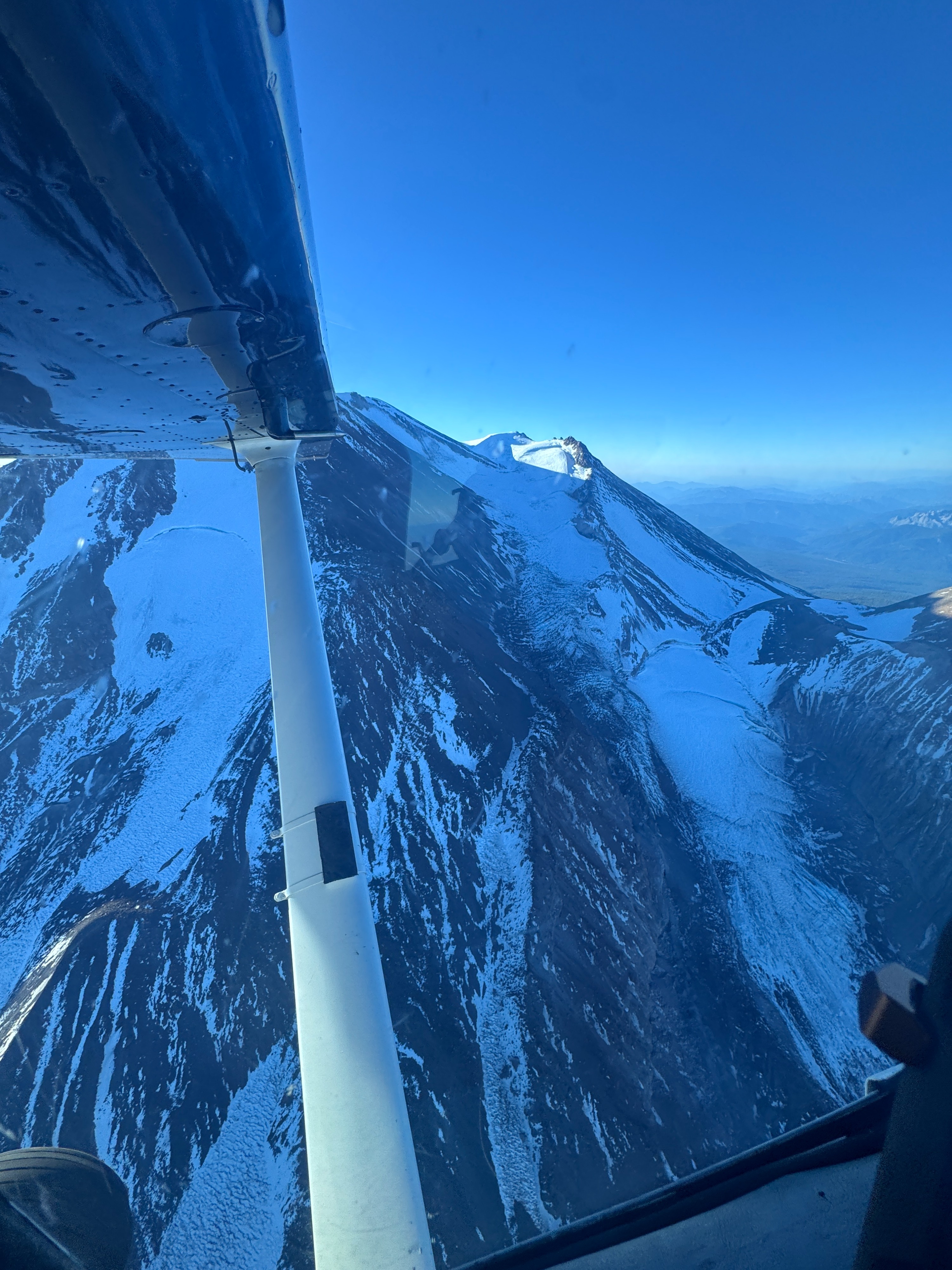
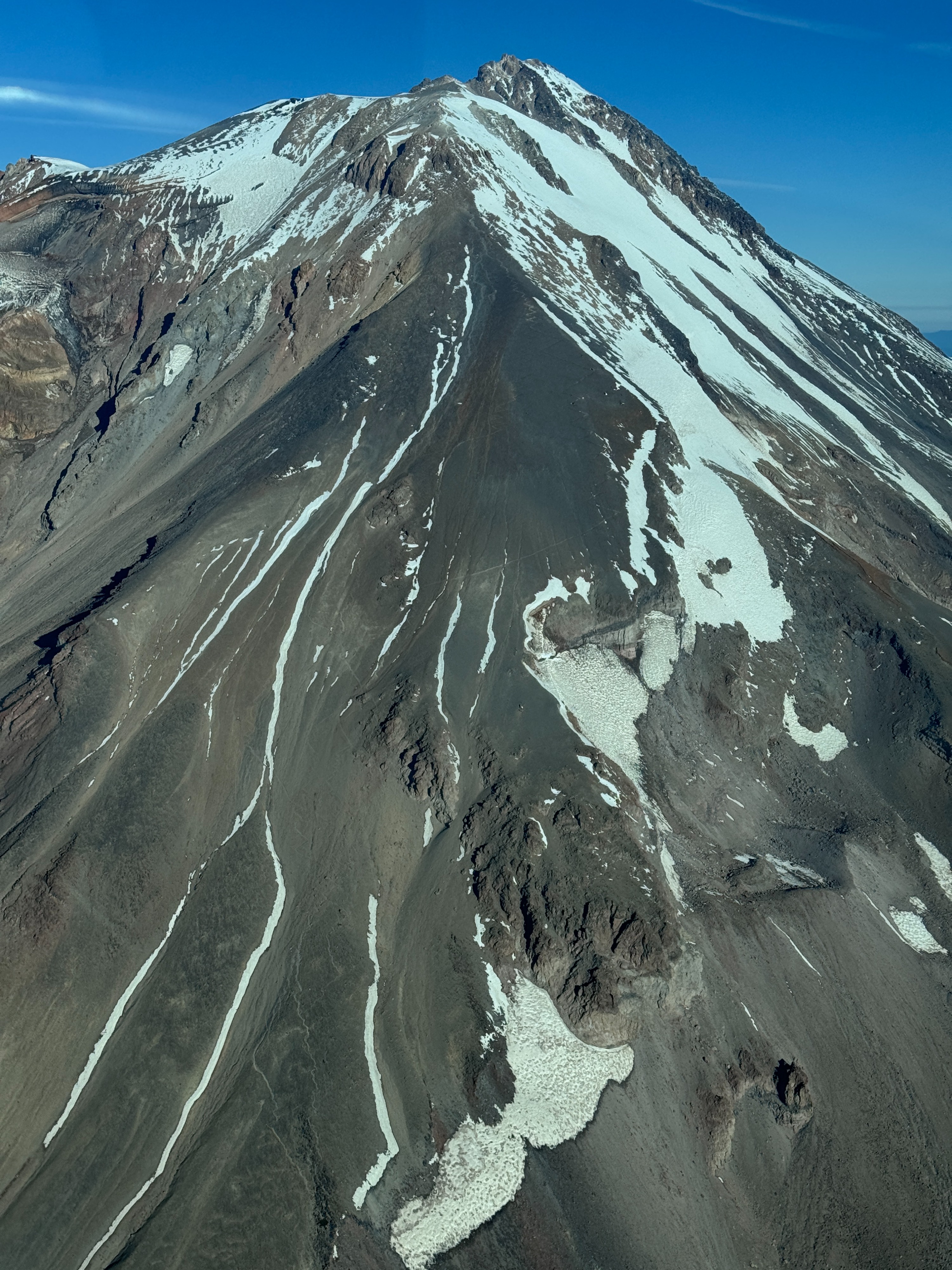
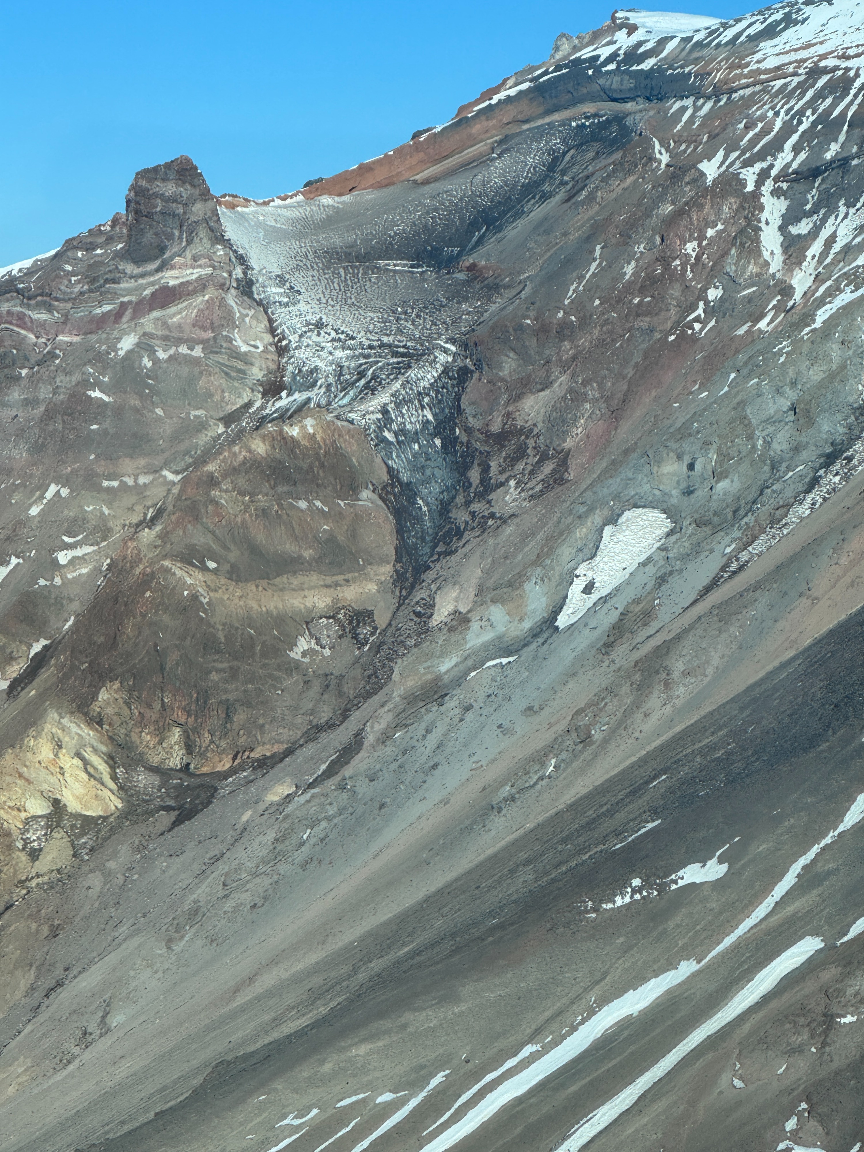
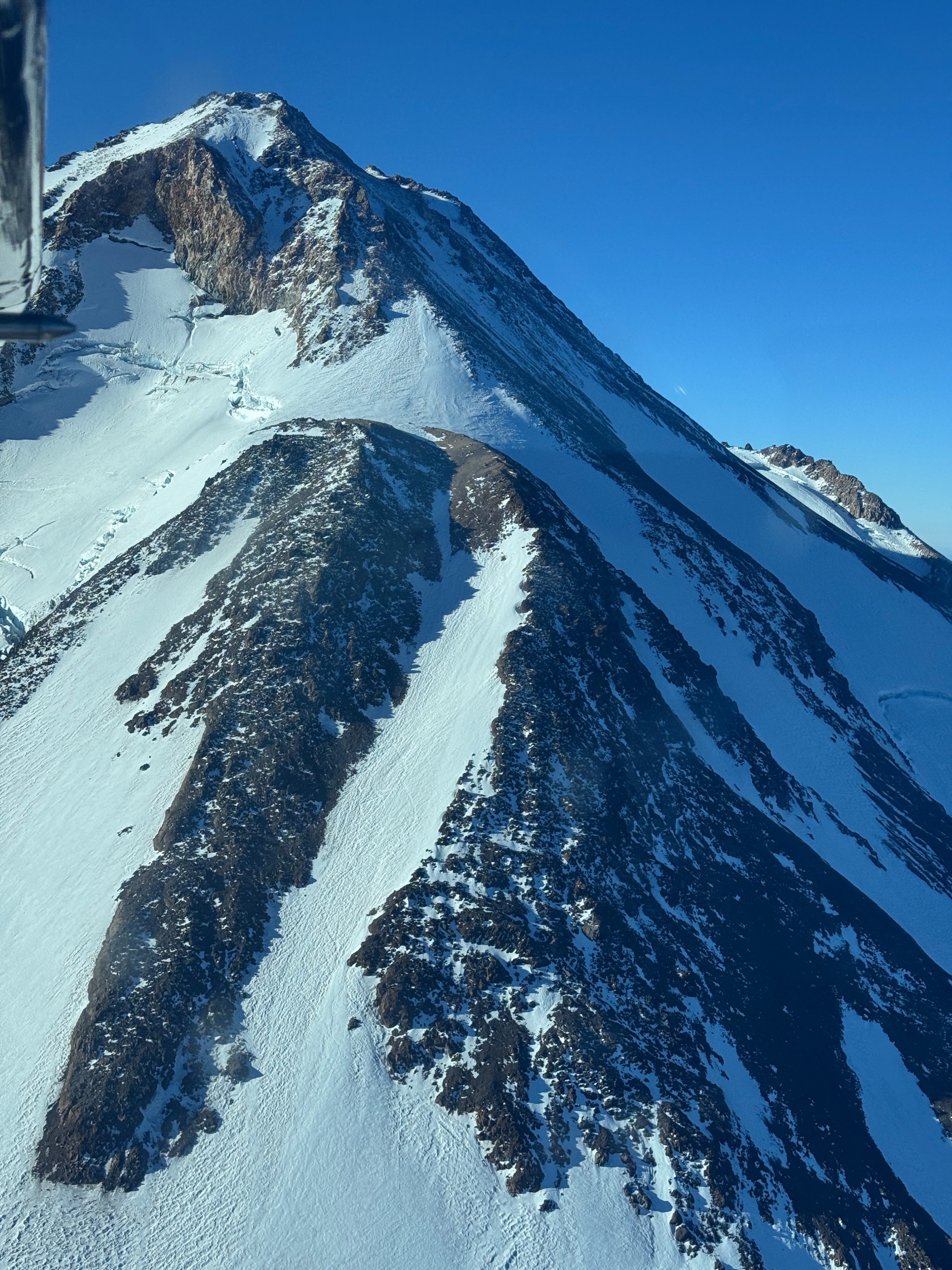
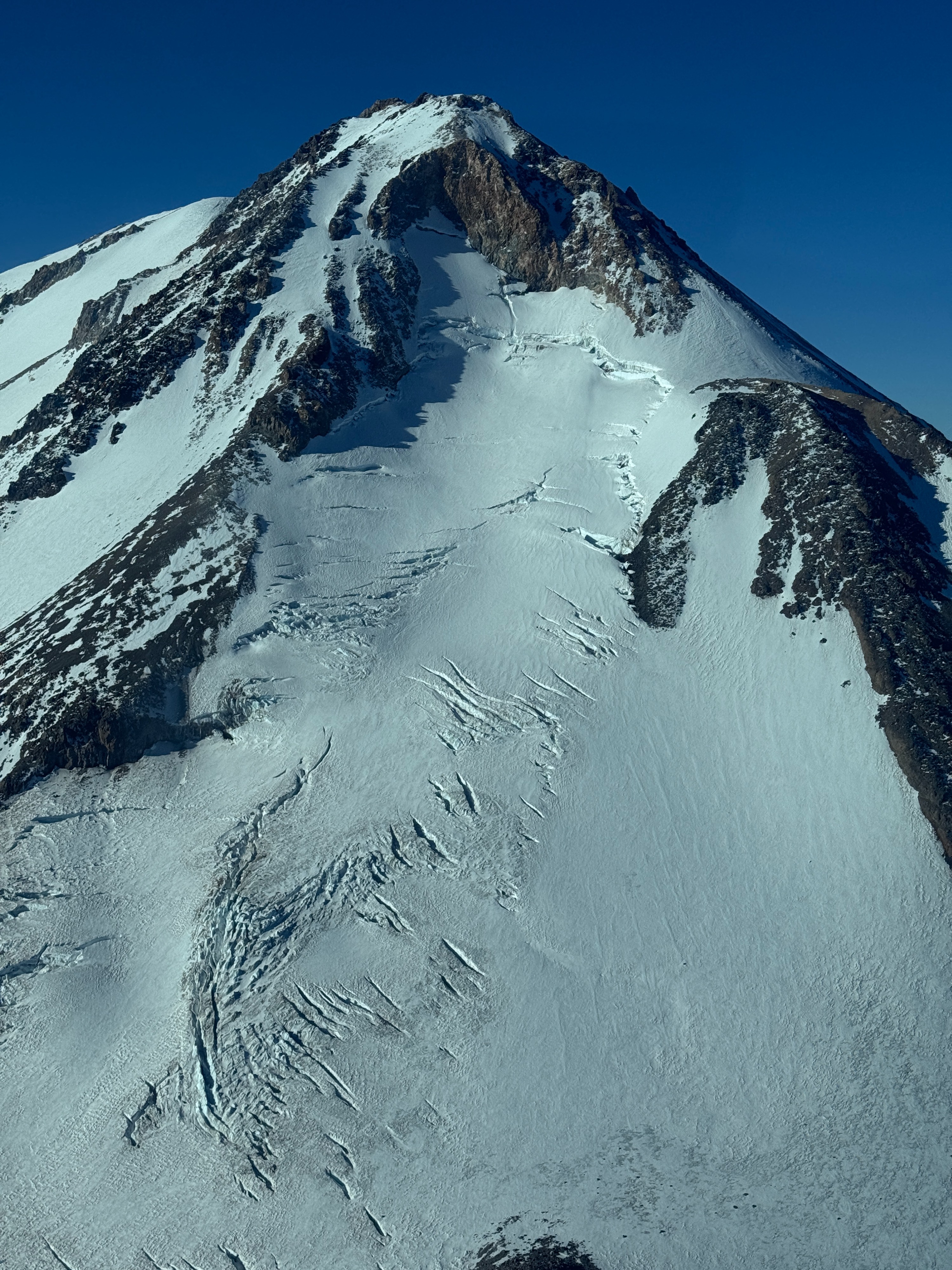
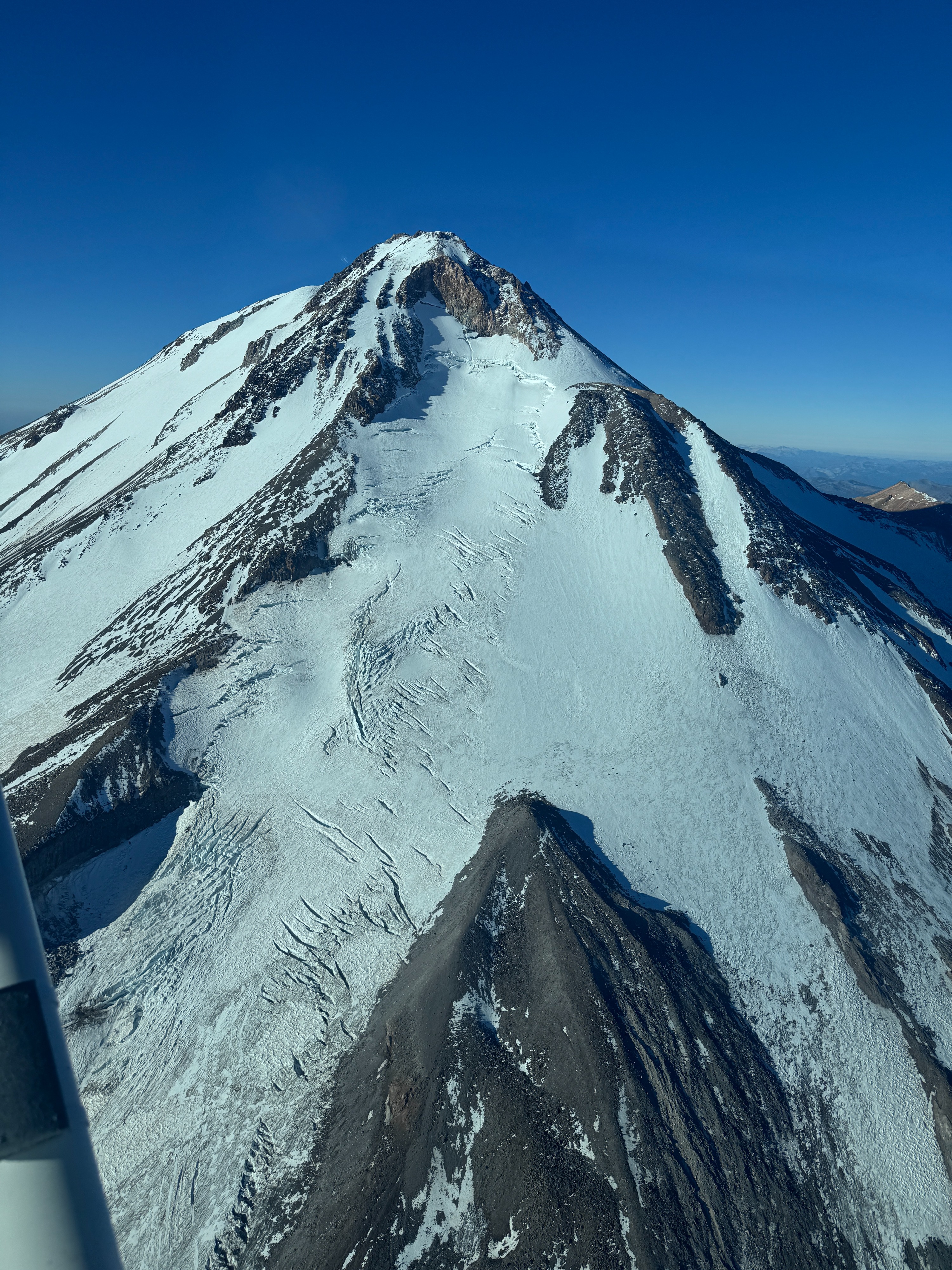
Included are aerial photos taken from a small airplane that show the upper sections of the following mountaineering routes: Avalanche Gulch, Clear Creek, Hotlum Glacier, Hotlum-Bolam Ridge, and Whitney Glacier. All photos are taken at 8:30am on Sept 19, 2026.
Weather
- Air Temp
- 38
- Cloud Cover
- clear
- Wind Loading
- none
- Recent Snowfall
- 0
- Snow Avail For Transport
- none
20 knots from the north at 12,000 feet. Light and variable at lower elevations in the valleys.