
Quick report
- Cracking
- specific
Remotely triggered avalanches occurred today in adjacent forecast zones and I wouldn't be surprised to see more in the Snake River Range. Currently these avalanches are limited in size by the recent snow but more snow early next week could be a recipe for trouble. Clear and sunny skies tomorrow should spawn some more wet looose activity which appeared to be jus getting started today.
Due to the relatively small size of the avalanches that are occurring on this layer, it's hard to think anything beyond Moderate danger fits. This is a human-triggered avalanche problem and is not widespread. Careful evaluation of slopes is key along with good travel management. You couldn't pay me enough to ski or ride a steep shady slope over a terrain trap right now.
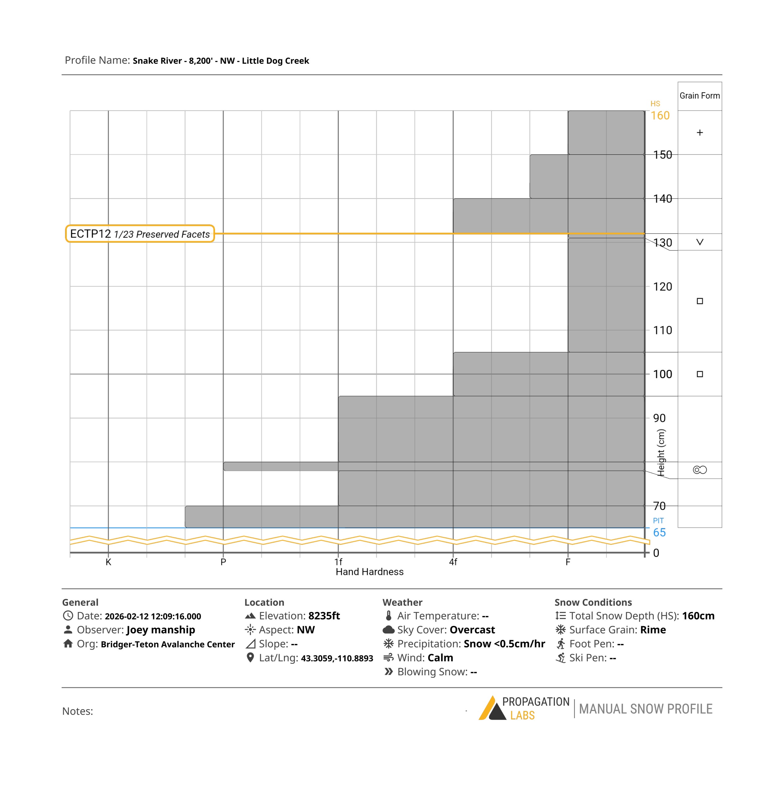
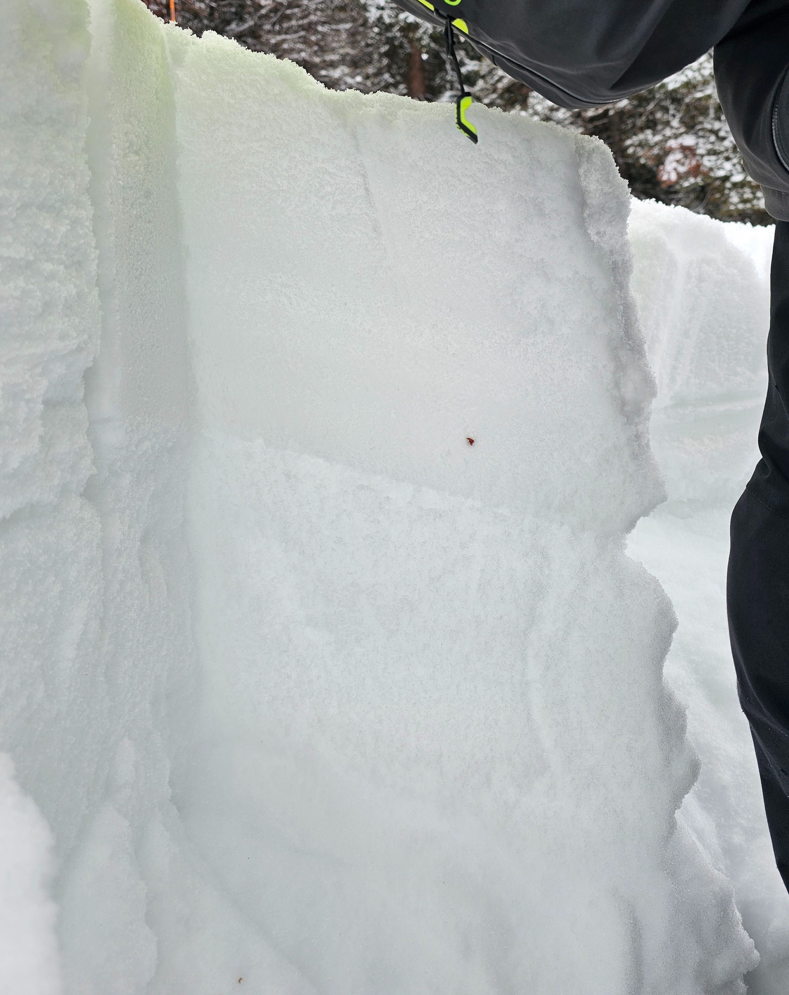
The recent snow was begining to warm into a slab on northerlies to about 8,000'. Rollerballs lower and in sun. Surface cracking was limited to a few feet. See profile. ECTP12 down 30cm on buried, preserved surface hoar, Q1 energetic collapse.Weather
- Cloud Cover
- broken
- Wind Loading
- light
- Recent Snowfall
- 20
- Snow Avail For Transport
- moderate amounts
Snowpack
The buried surface hoar layer is problematic as is the deep layer of facets beneath it. We saw no signs of natural activity but the weak snow and surface hoar is a strong concern. Weak snow was present on all shaded, northerly aspects starting around 7,500' maybe lower.