
Quick report
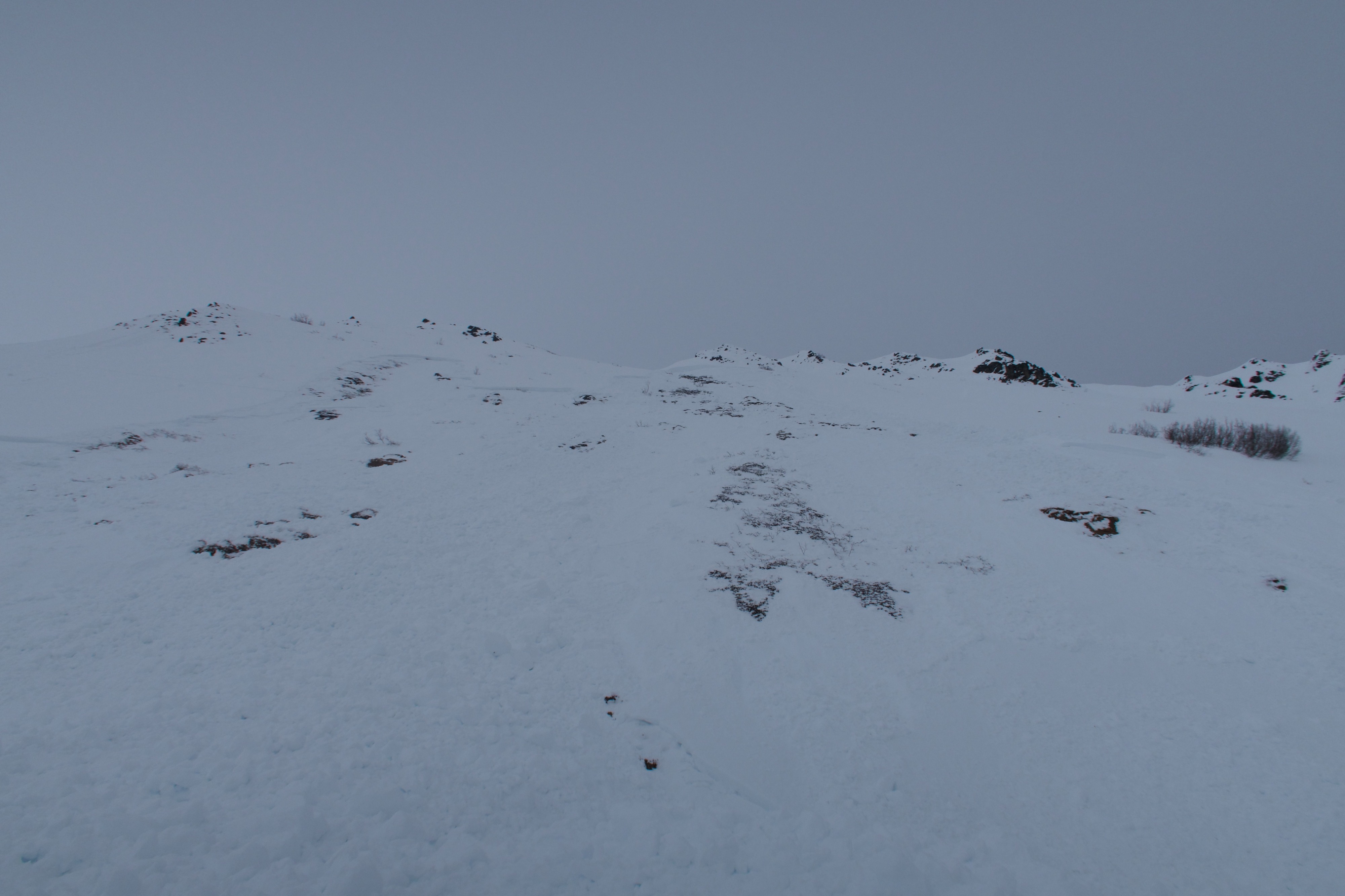
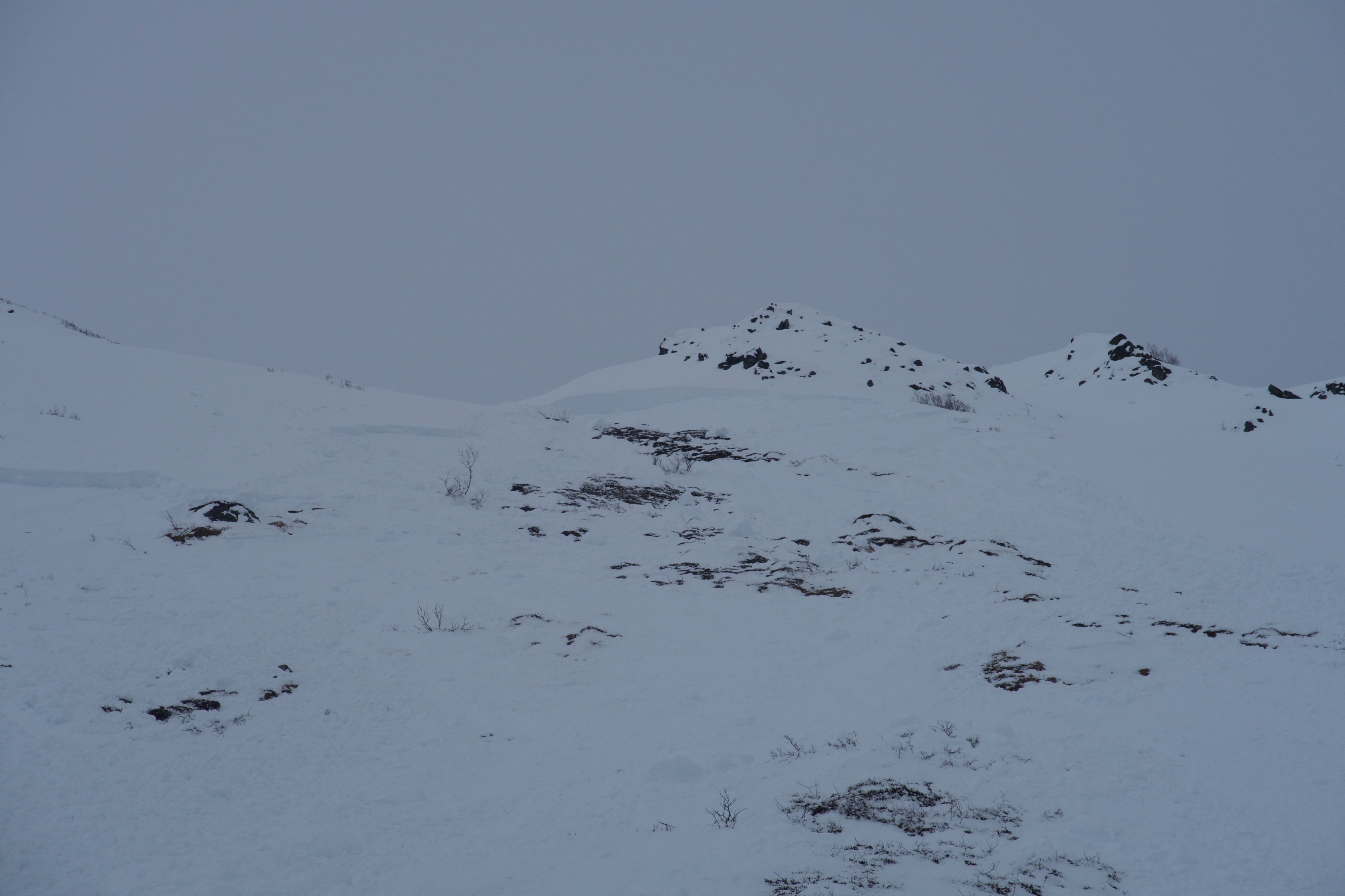
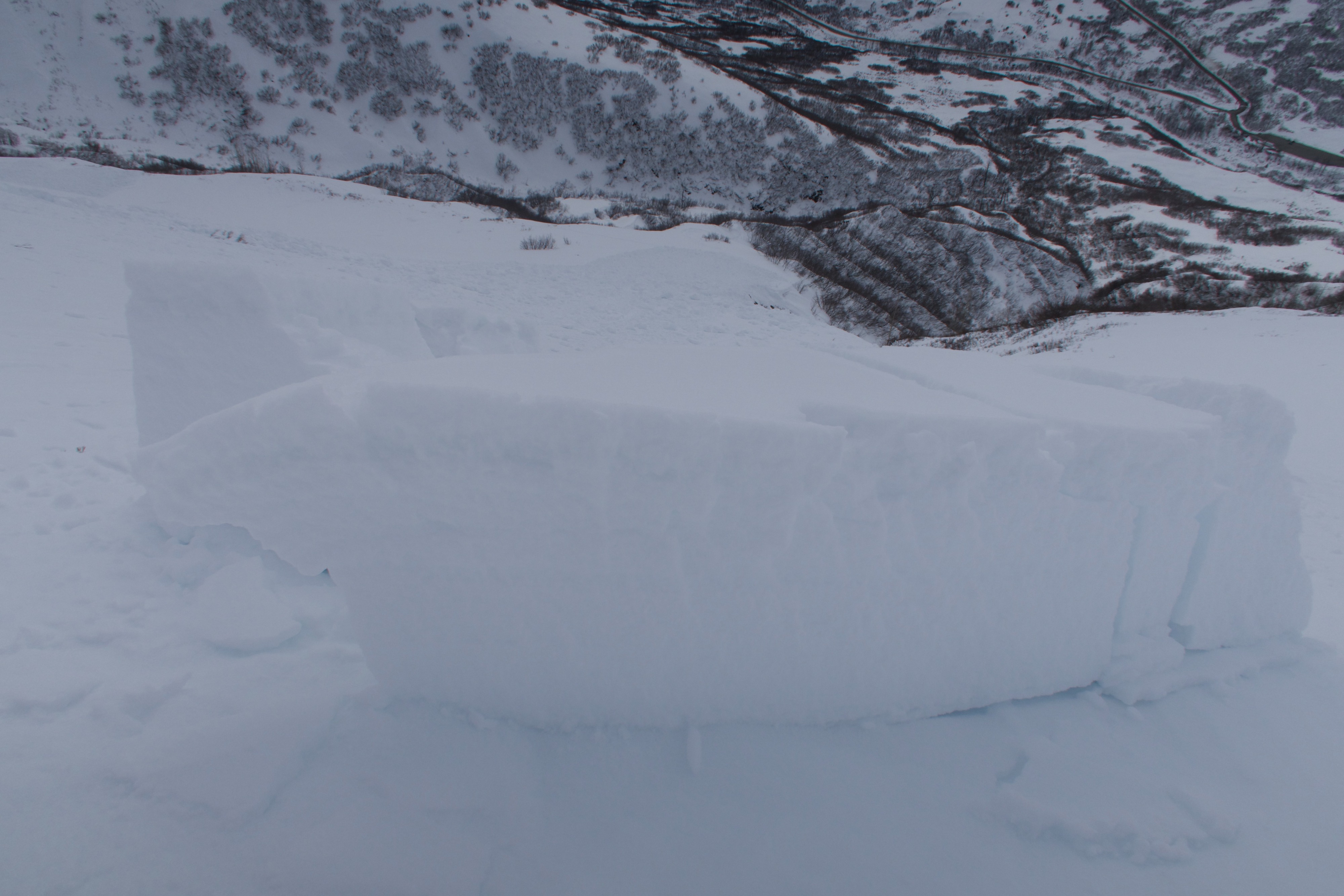
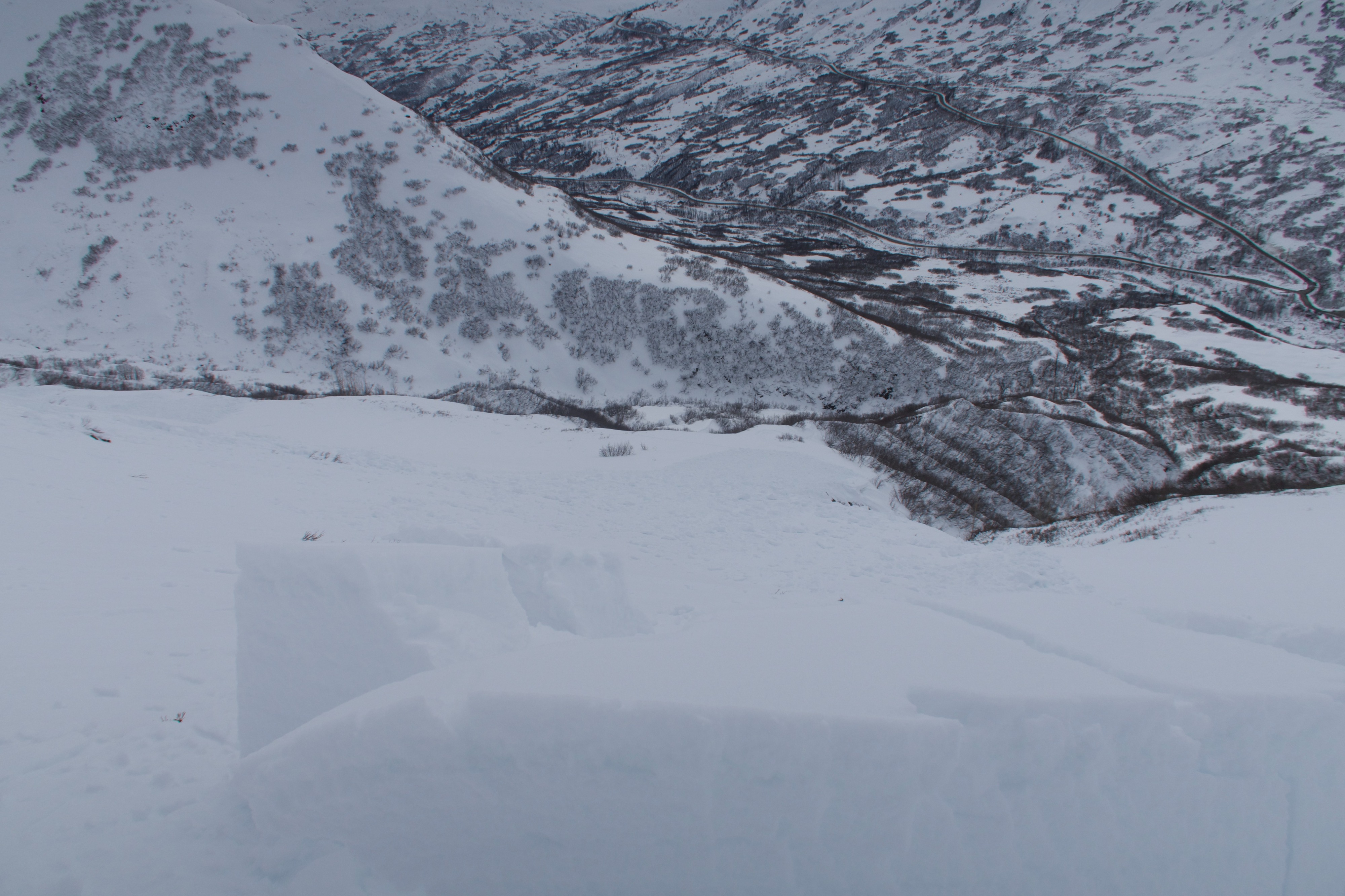
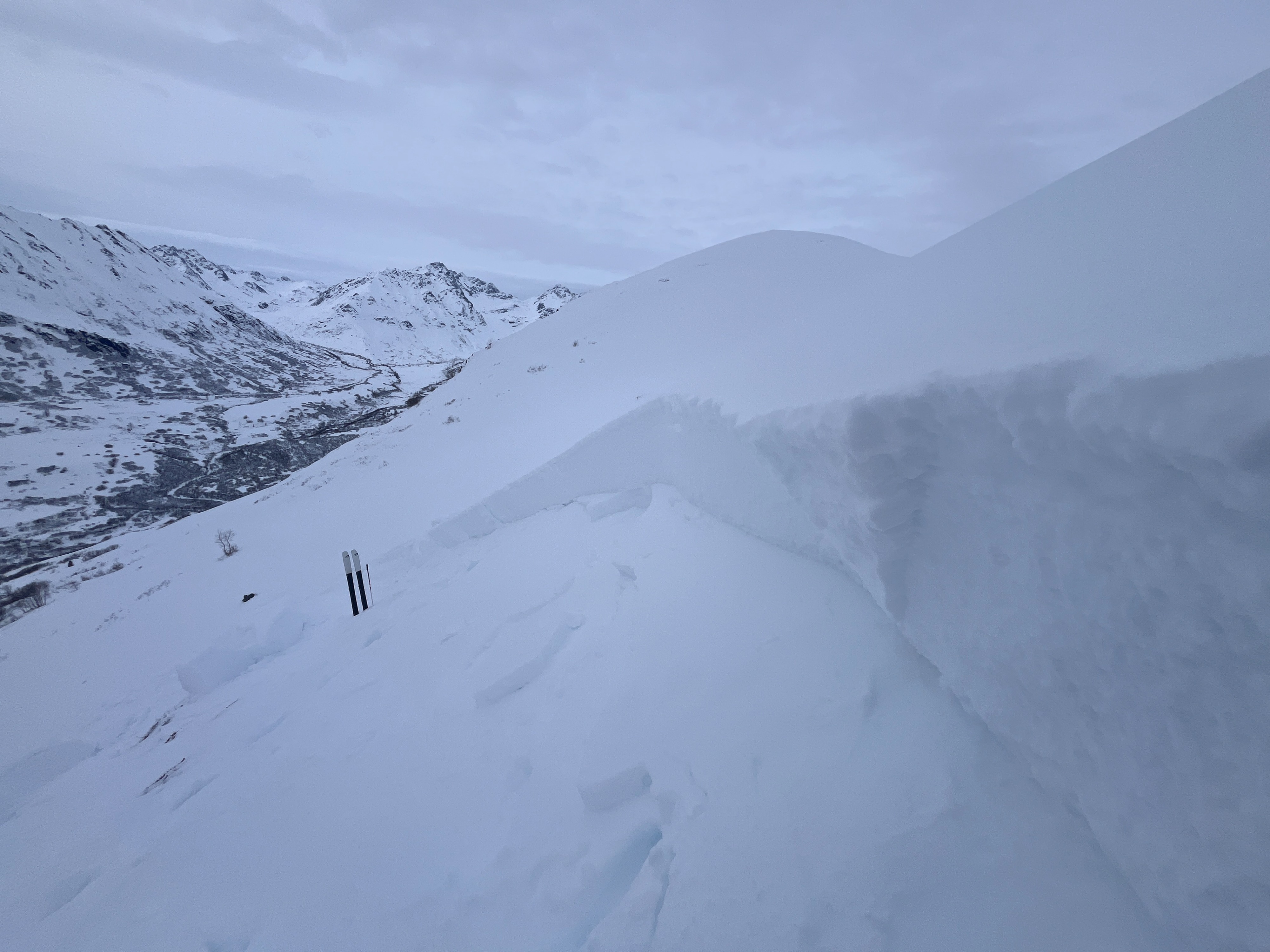
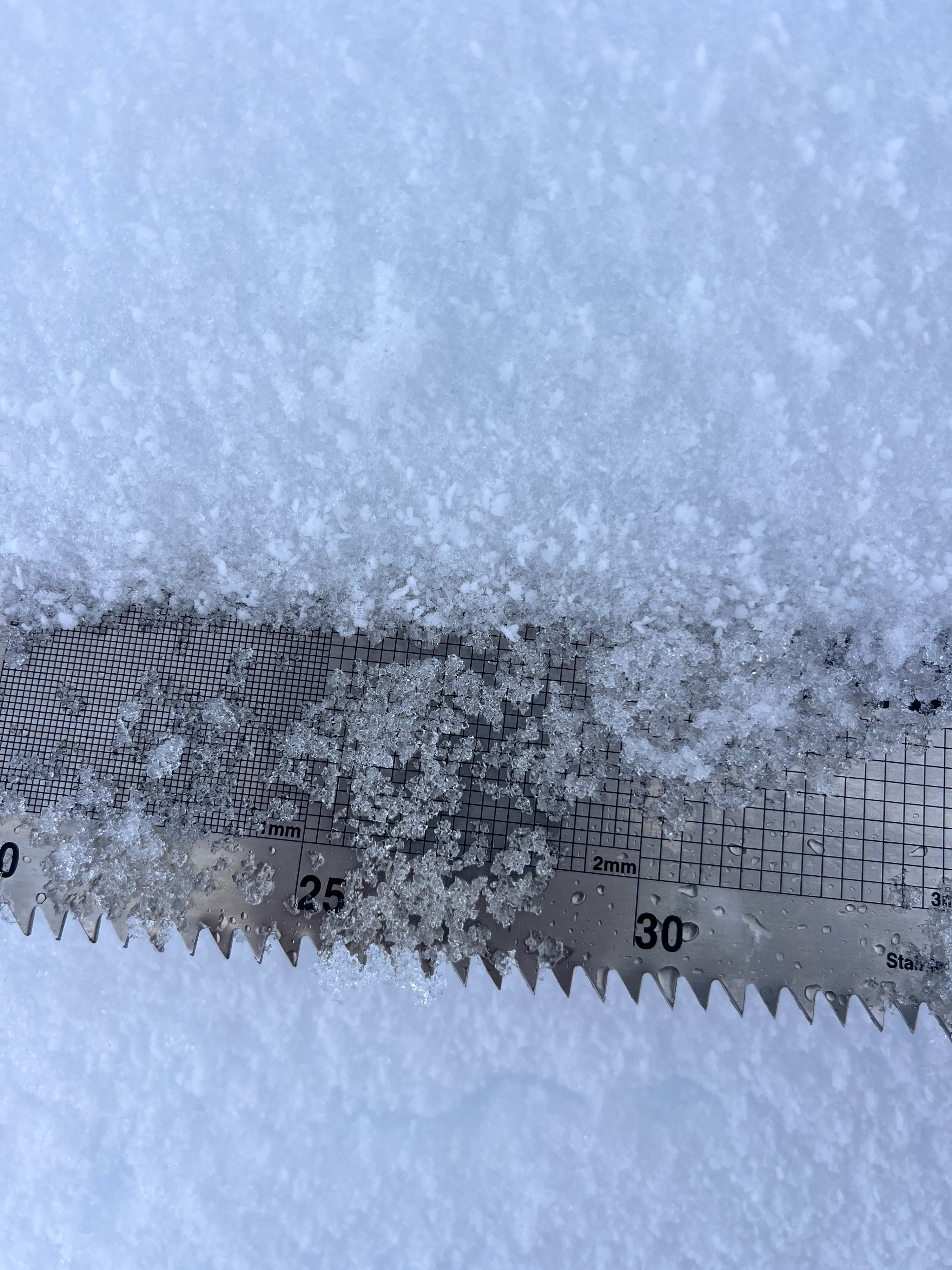
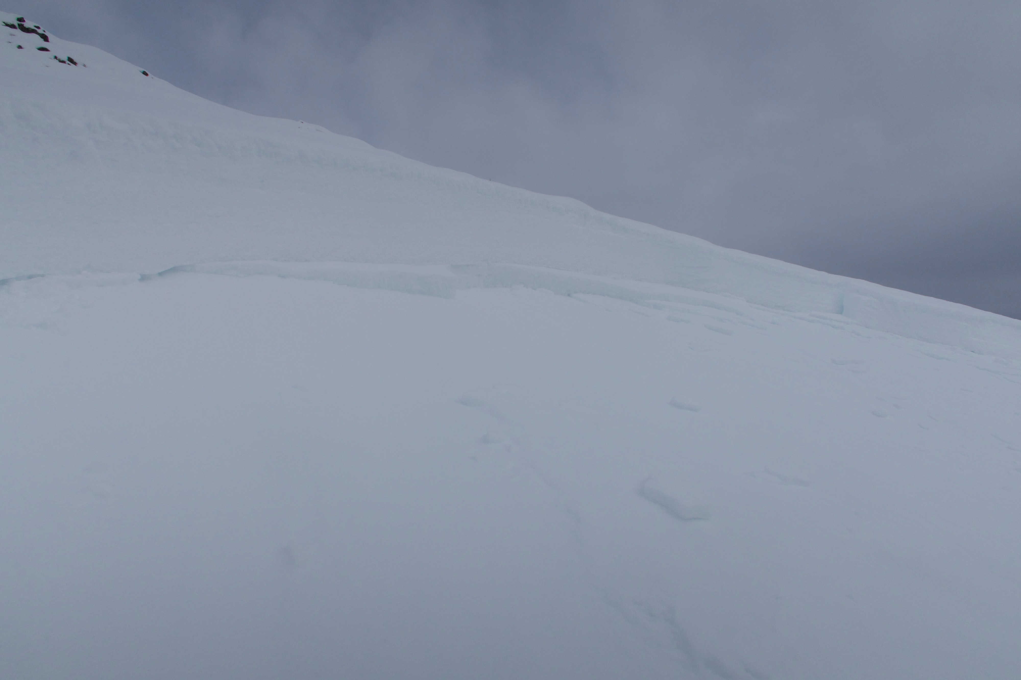
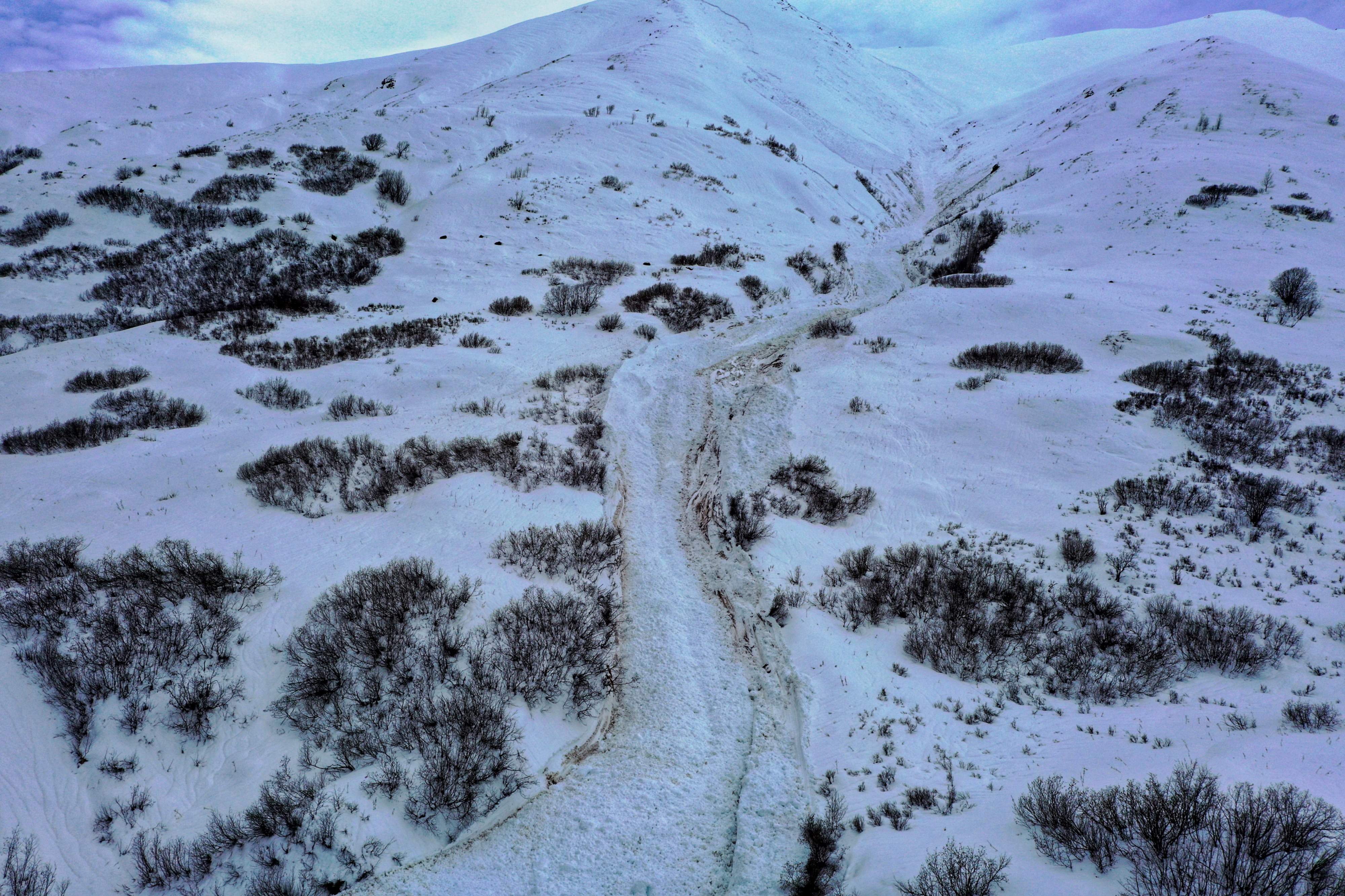
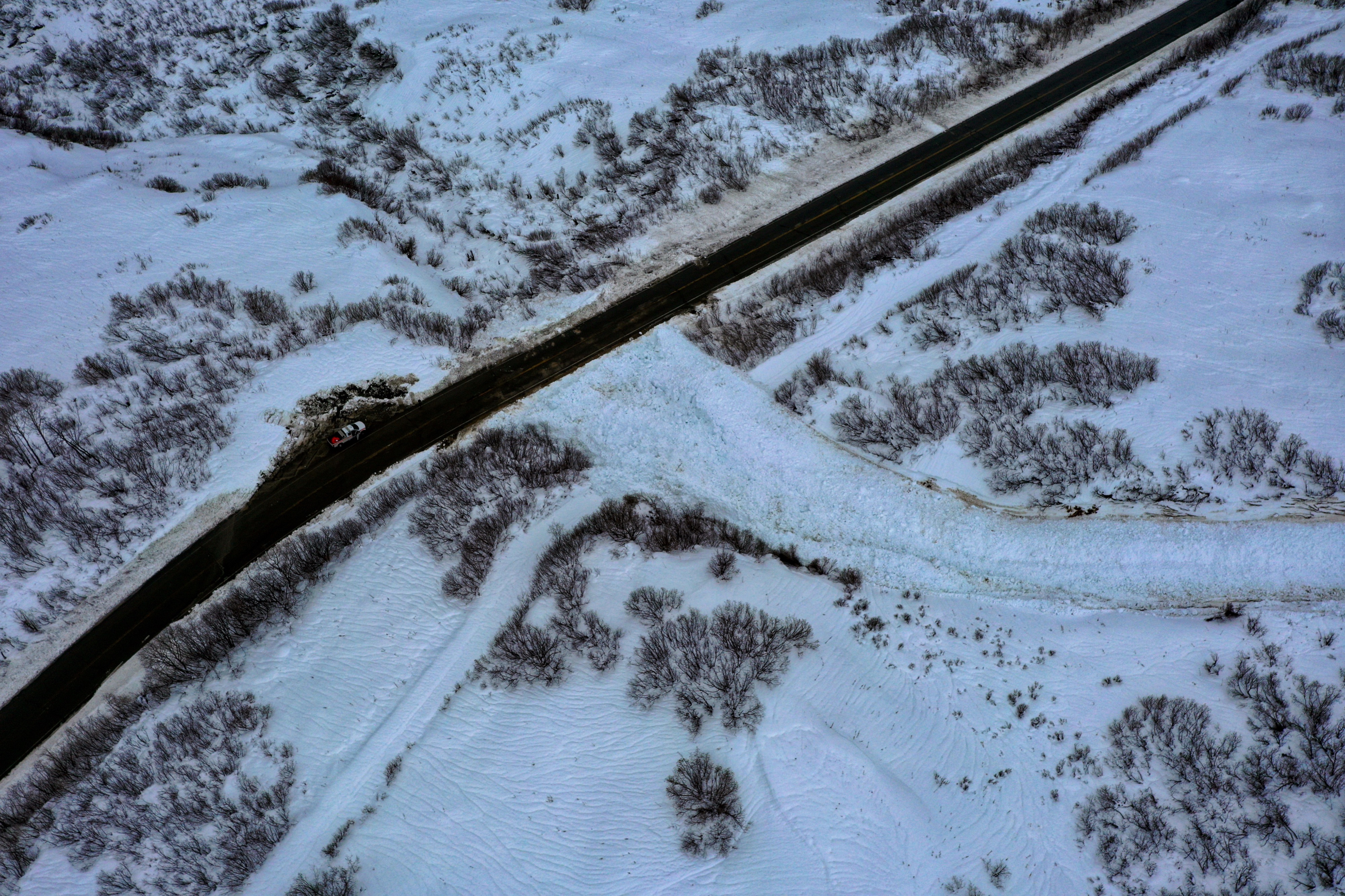
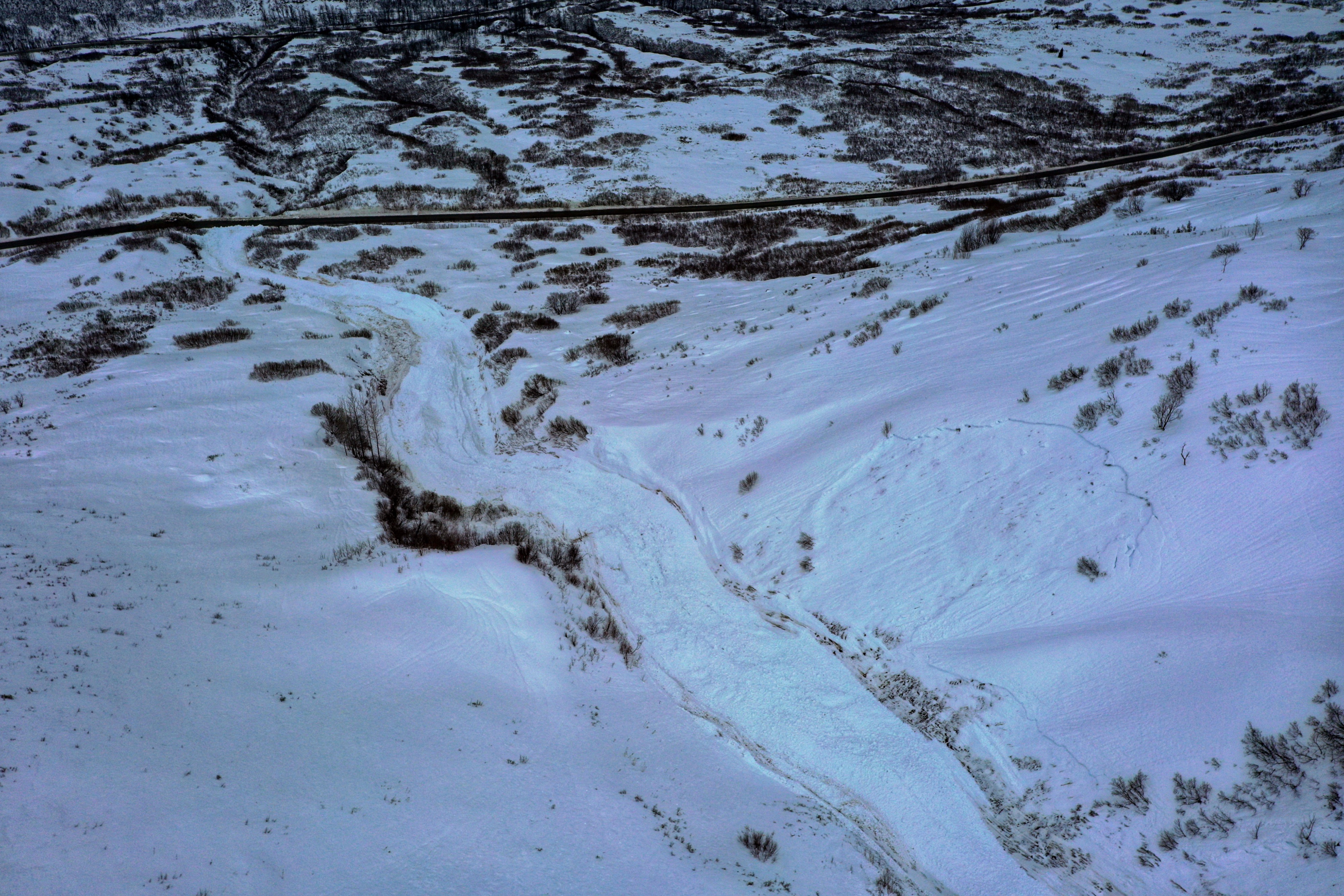
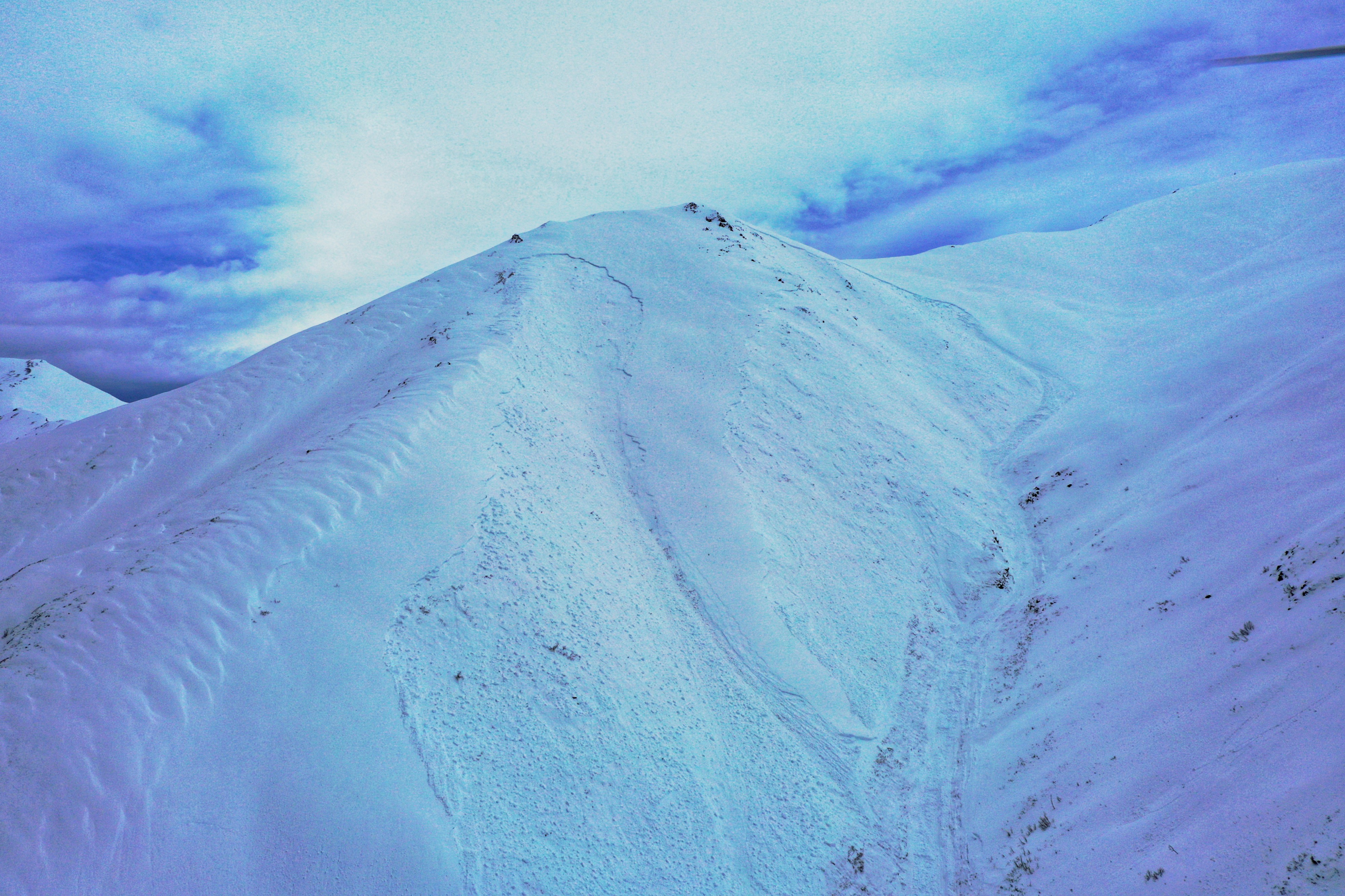
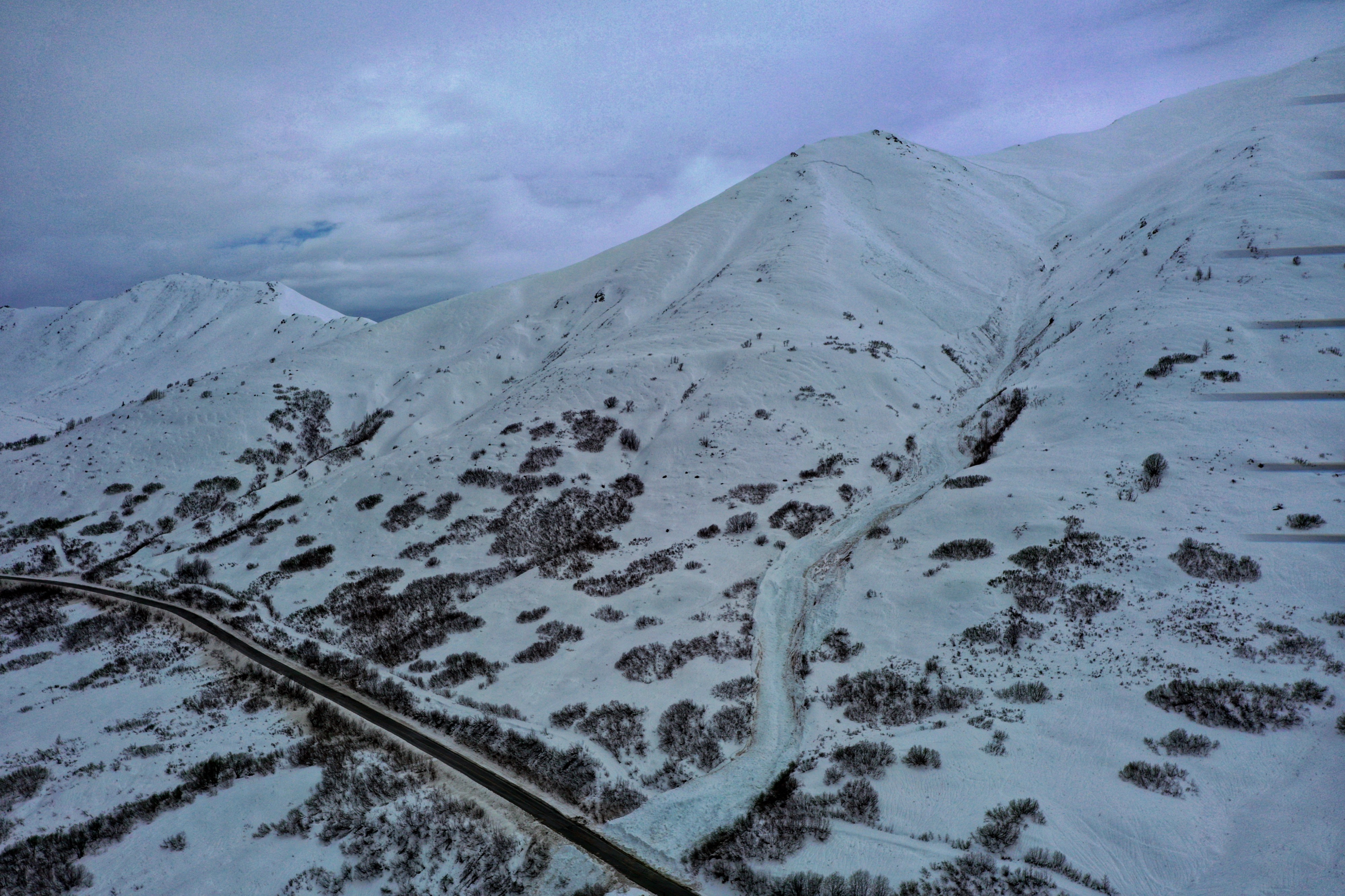
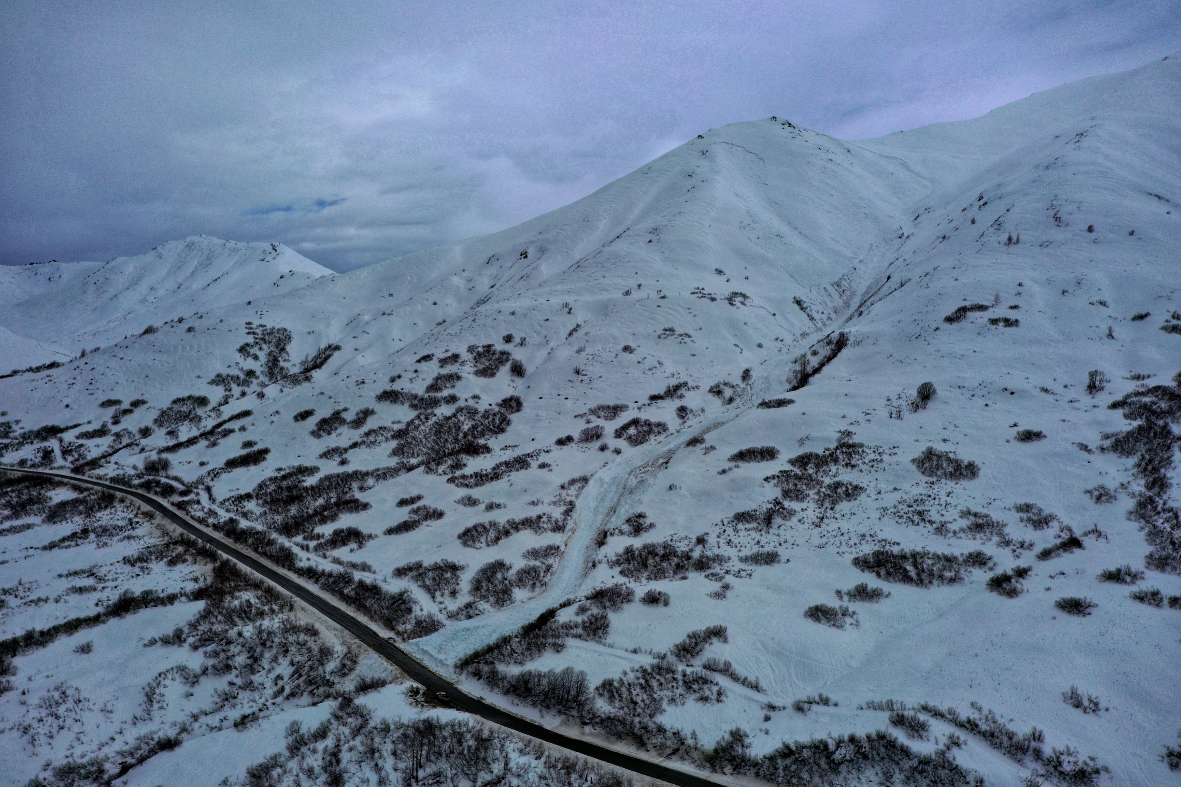
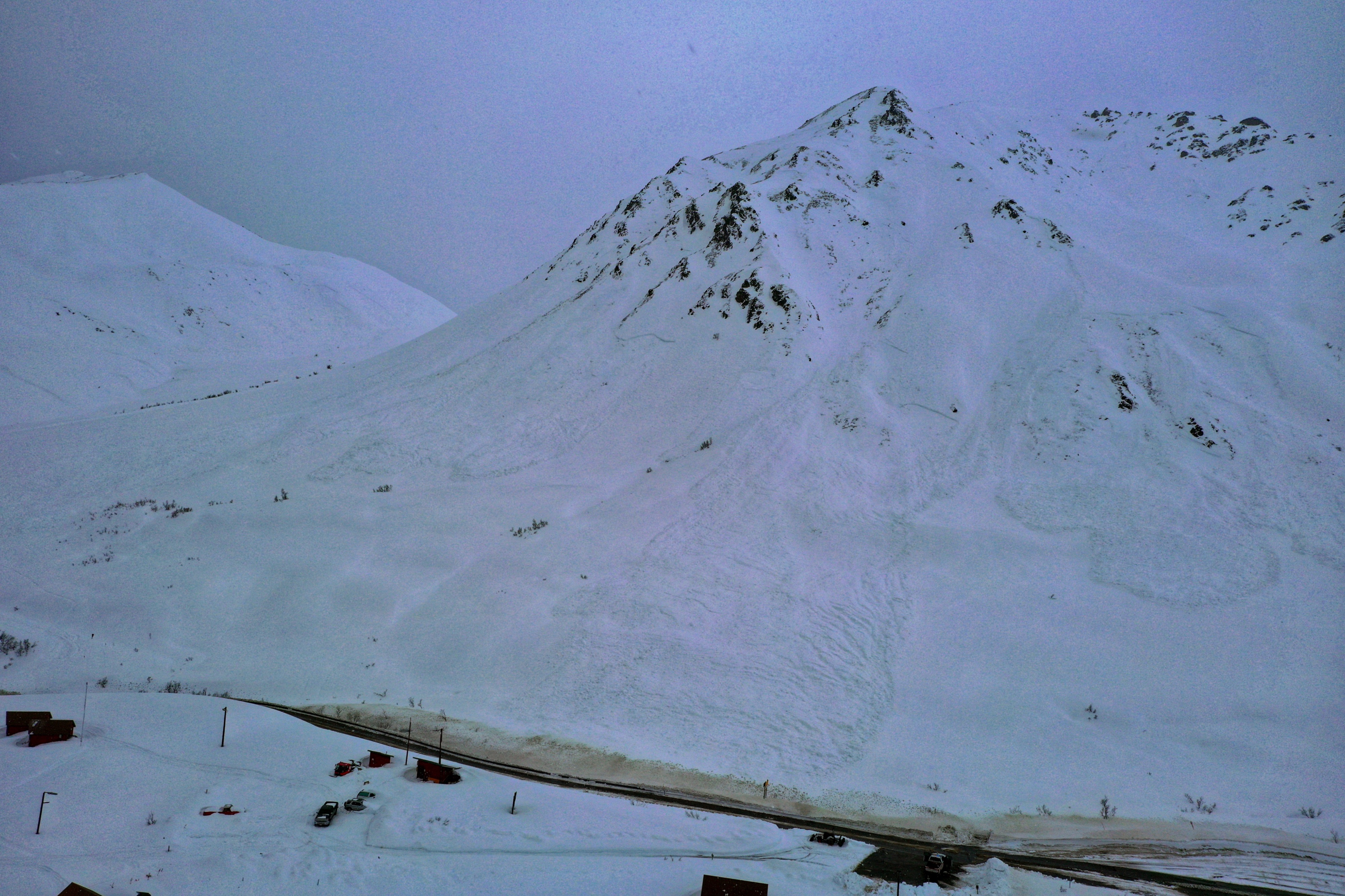
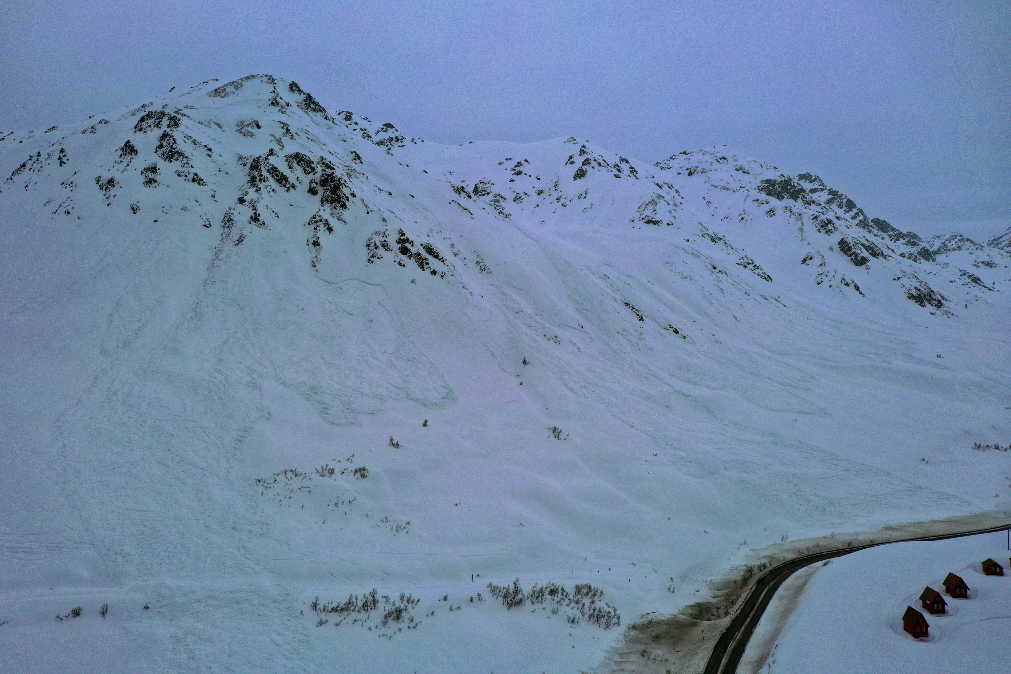
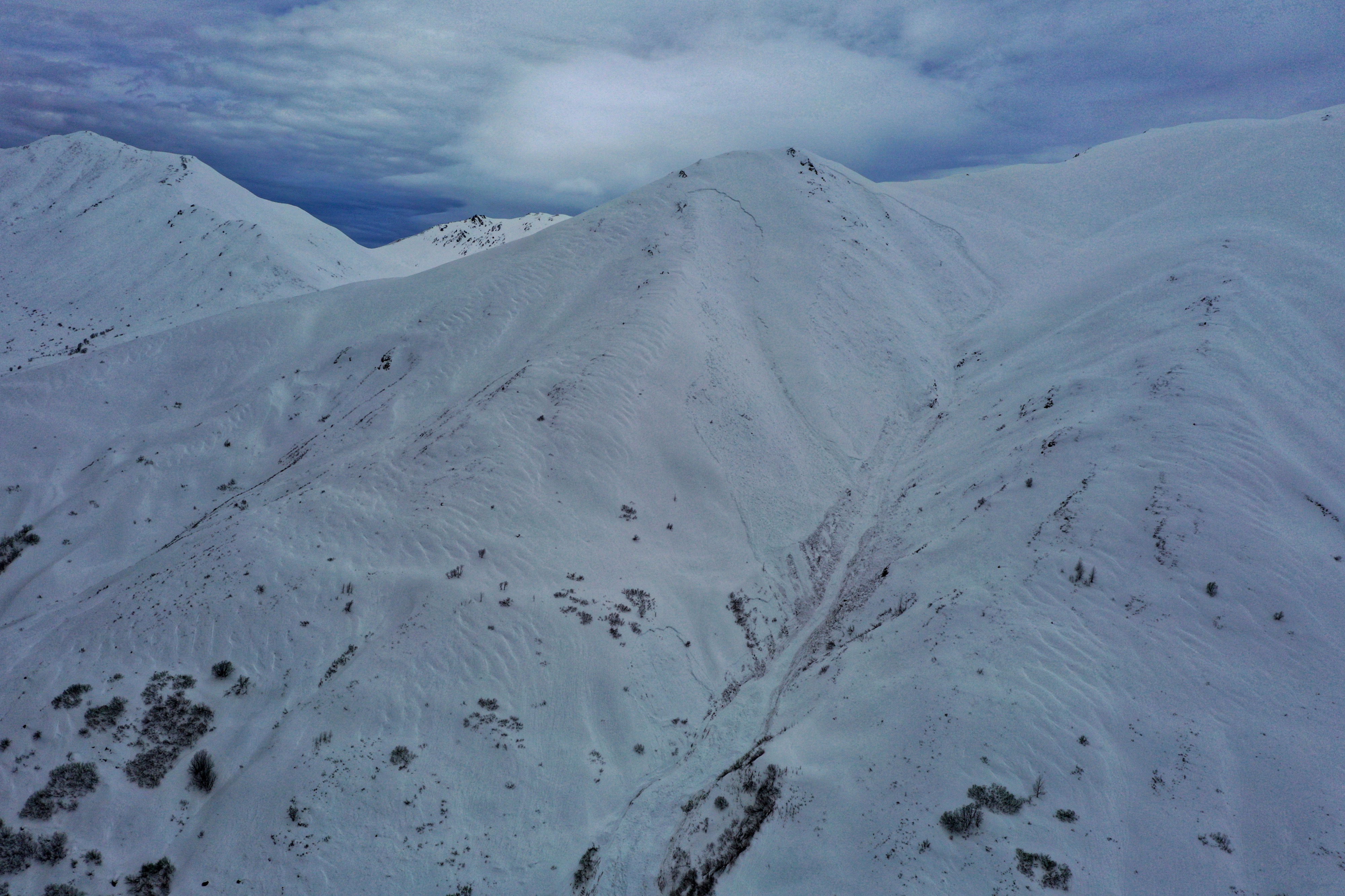
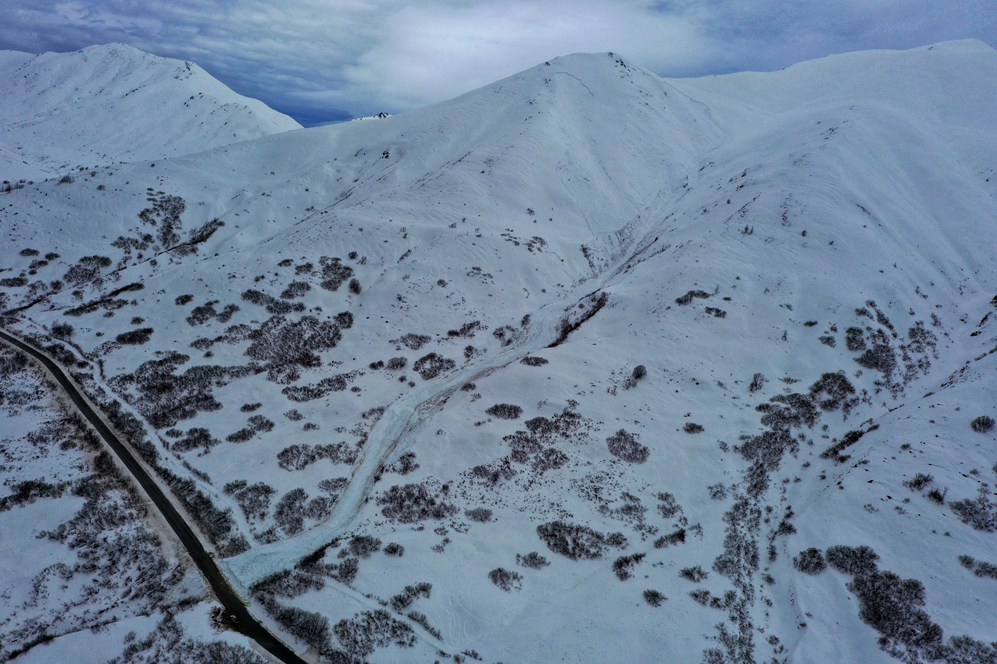
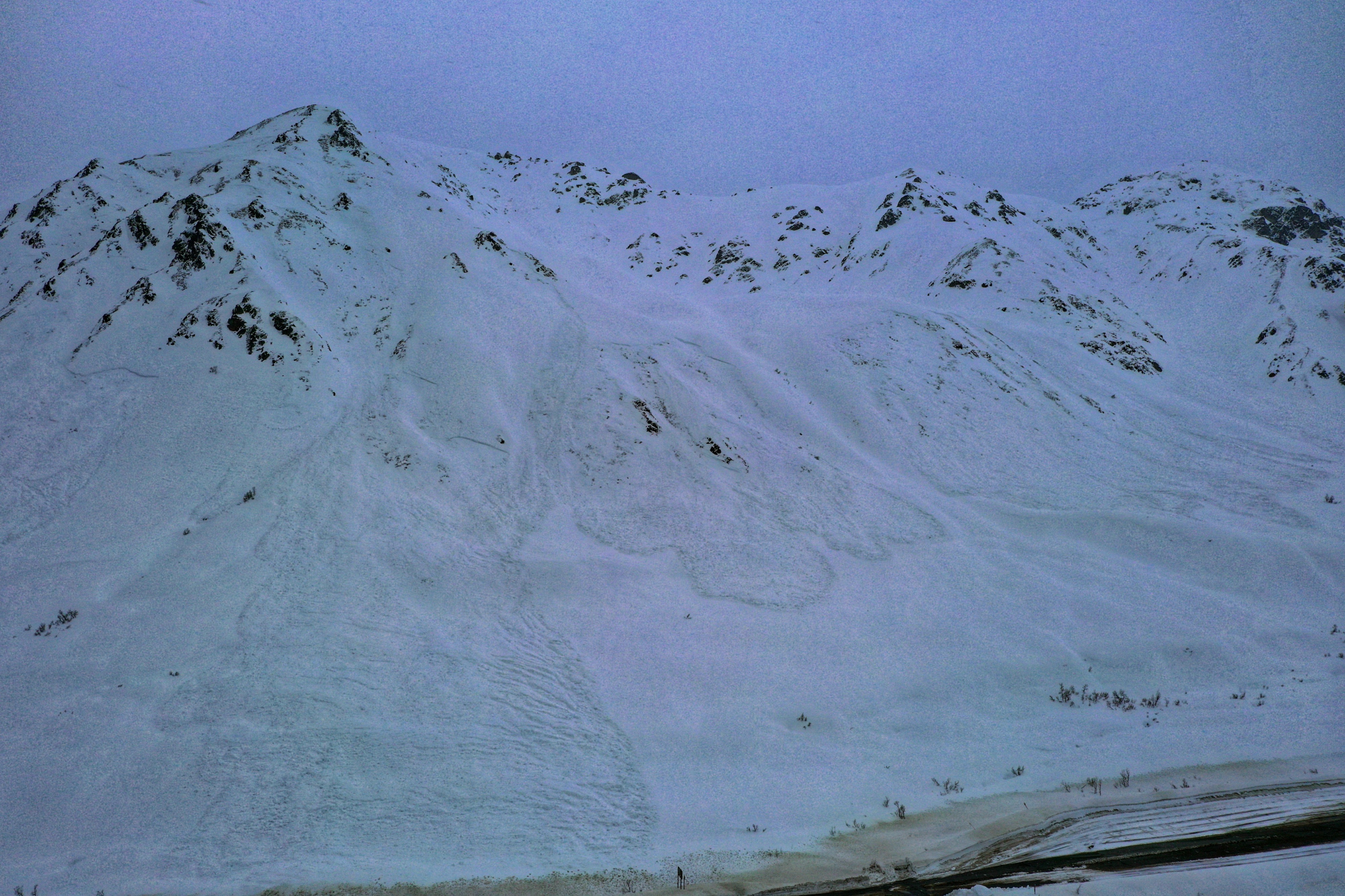
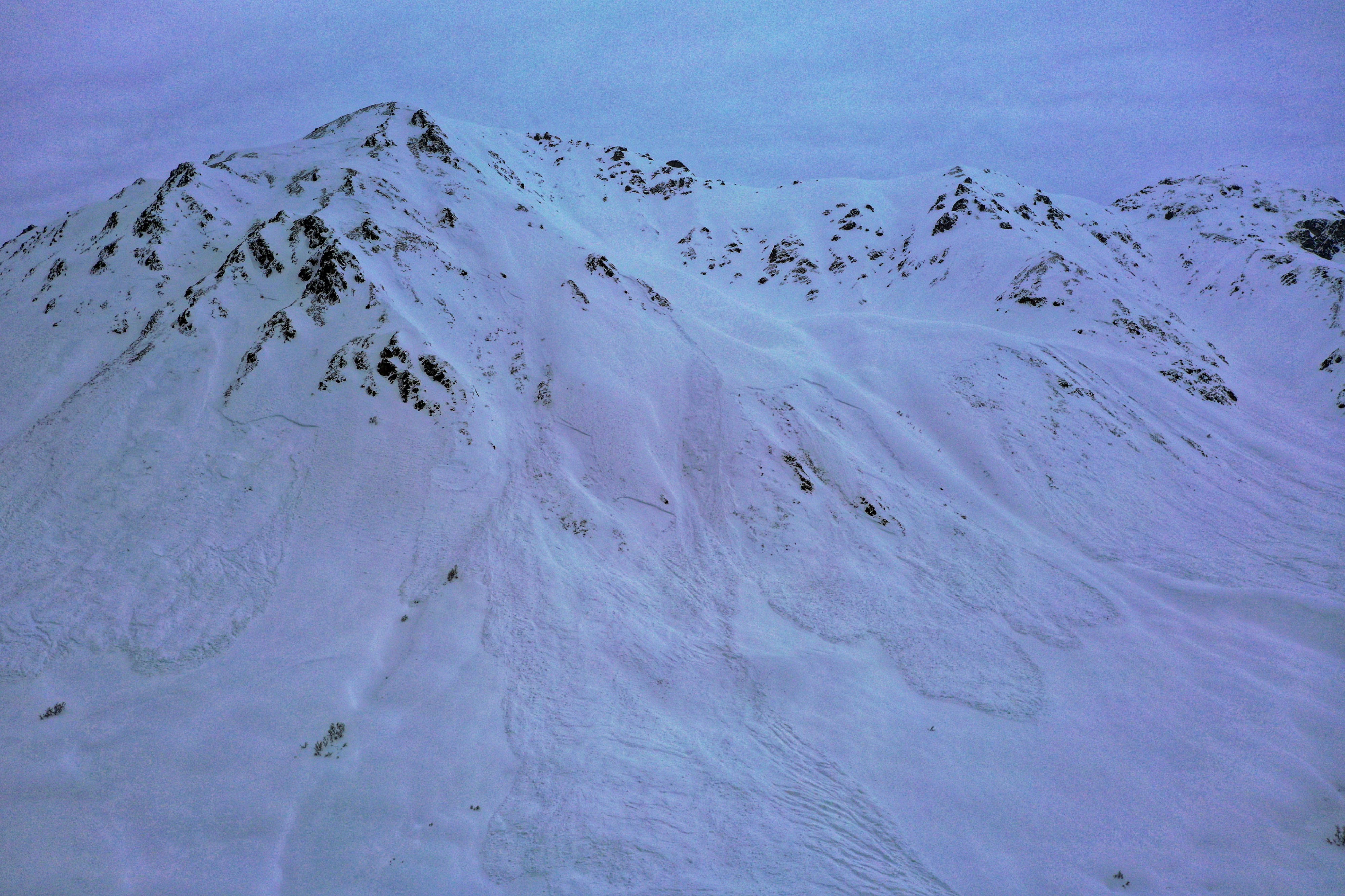
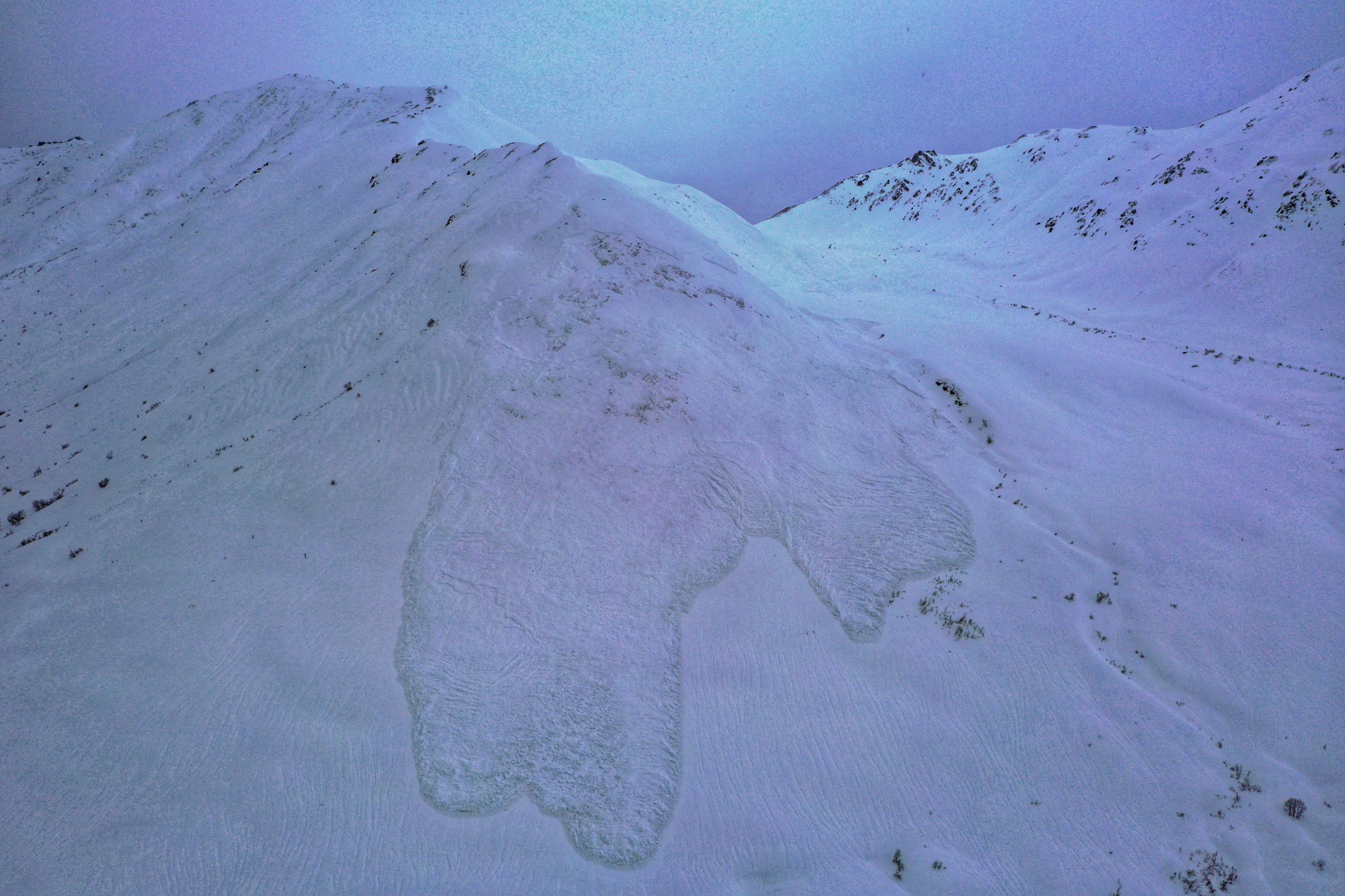
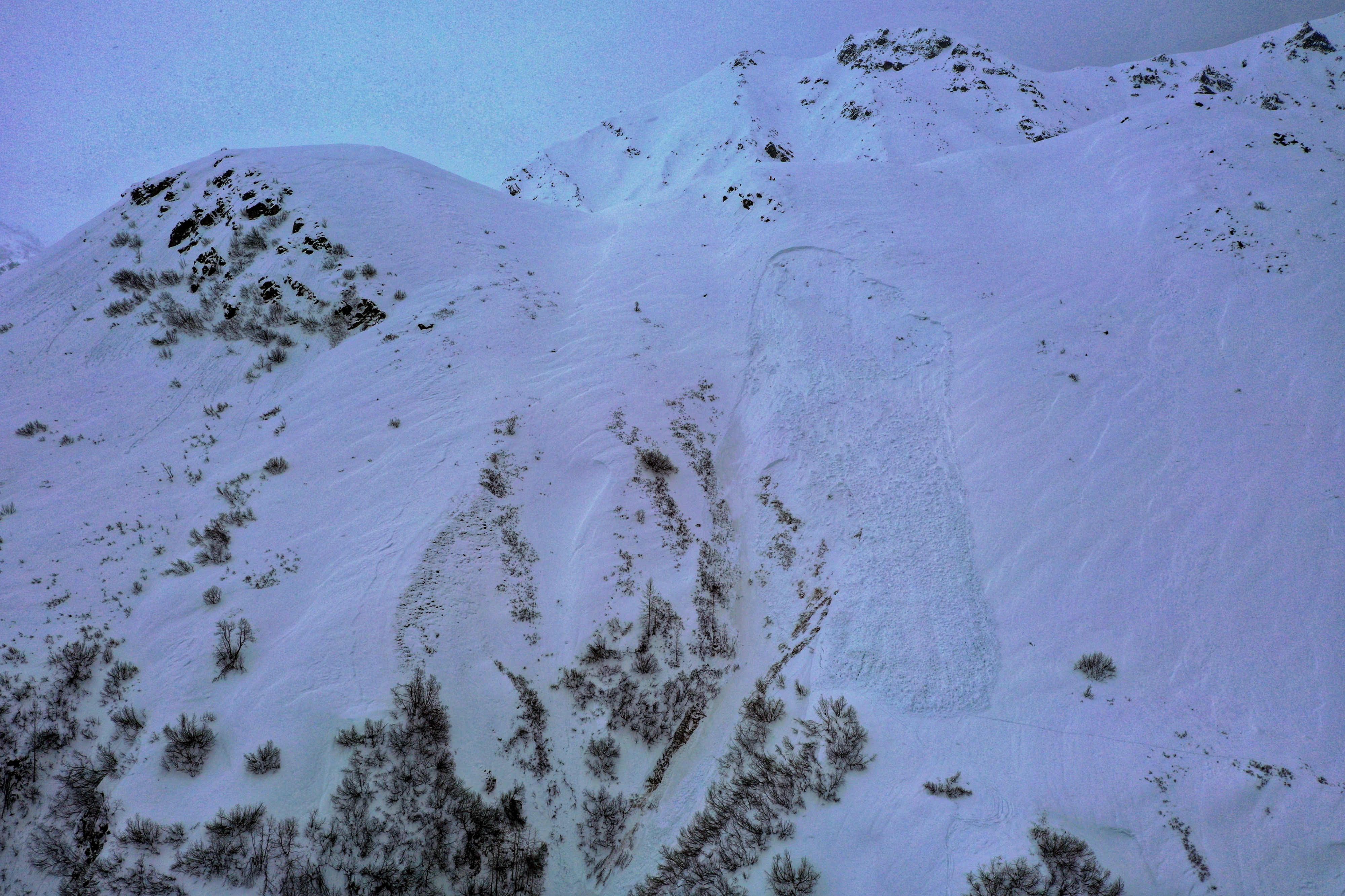
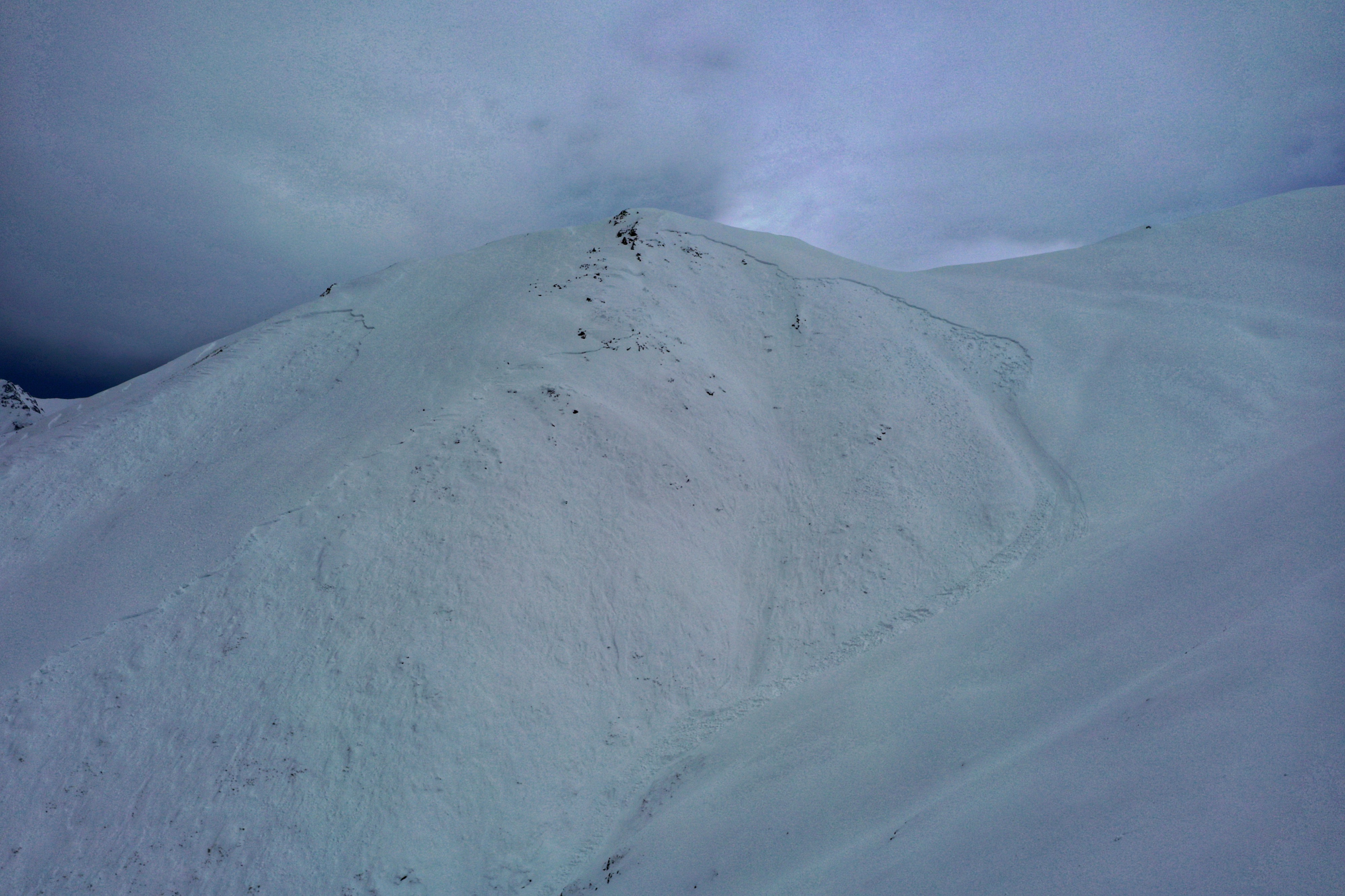
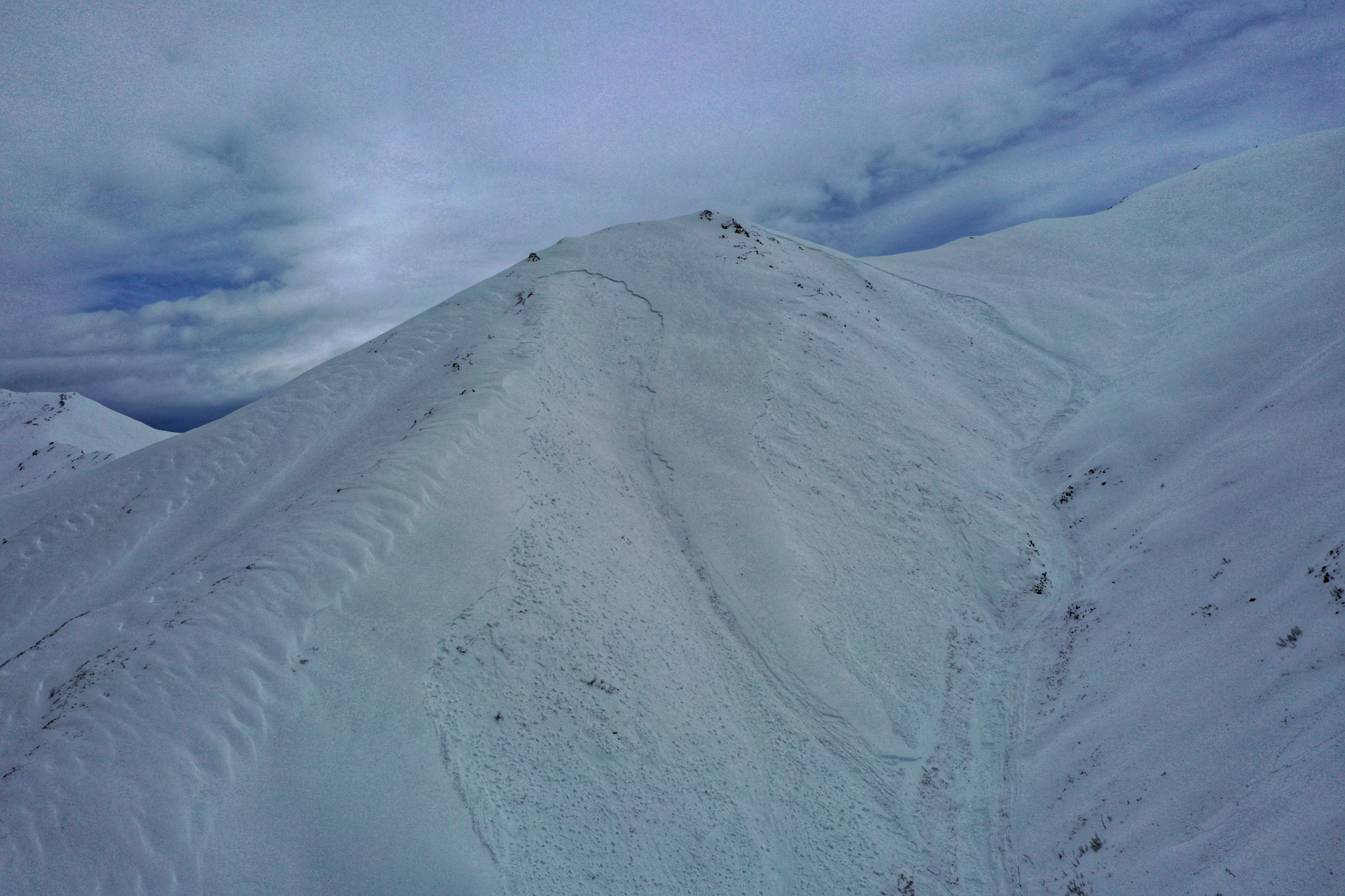
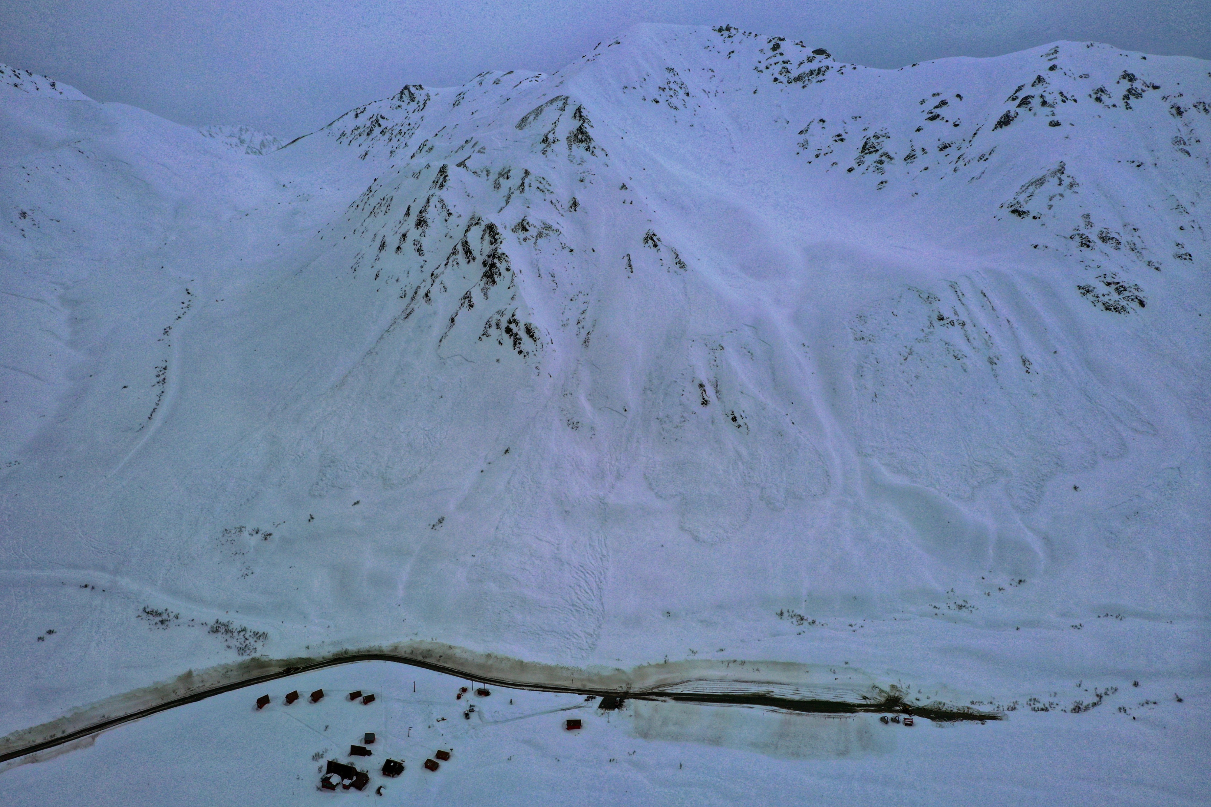
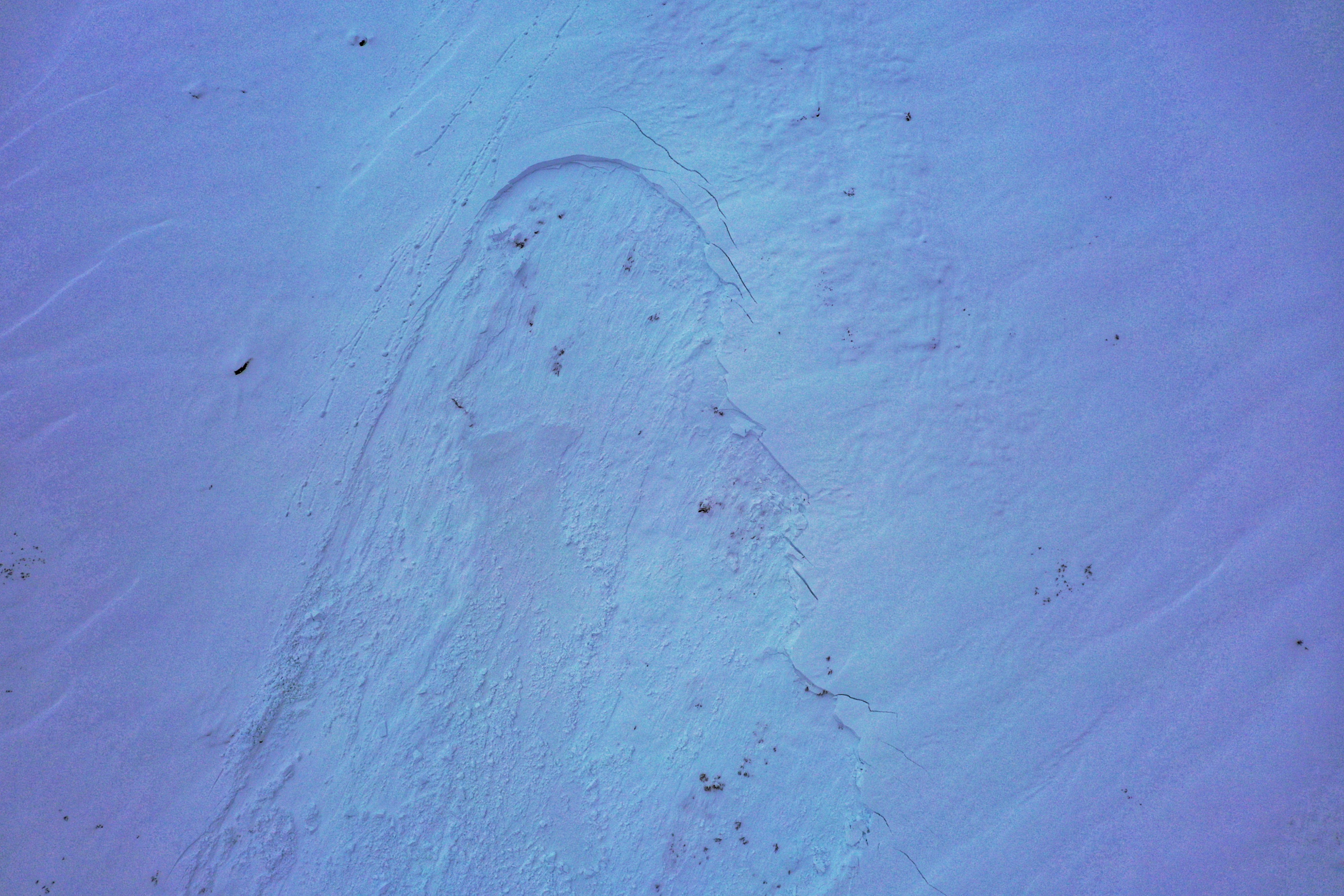
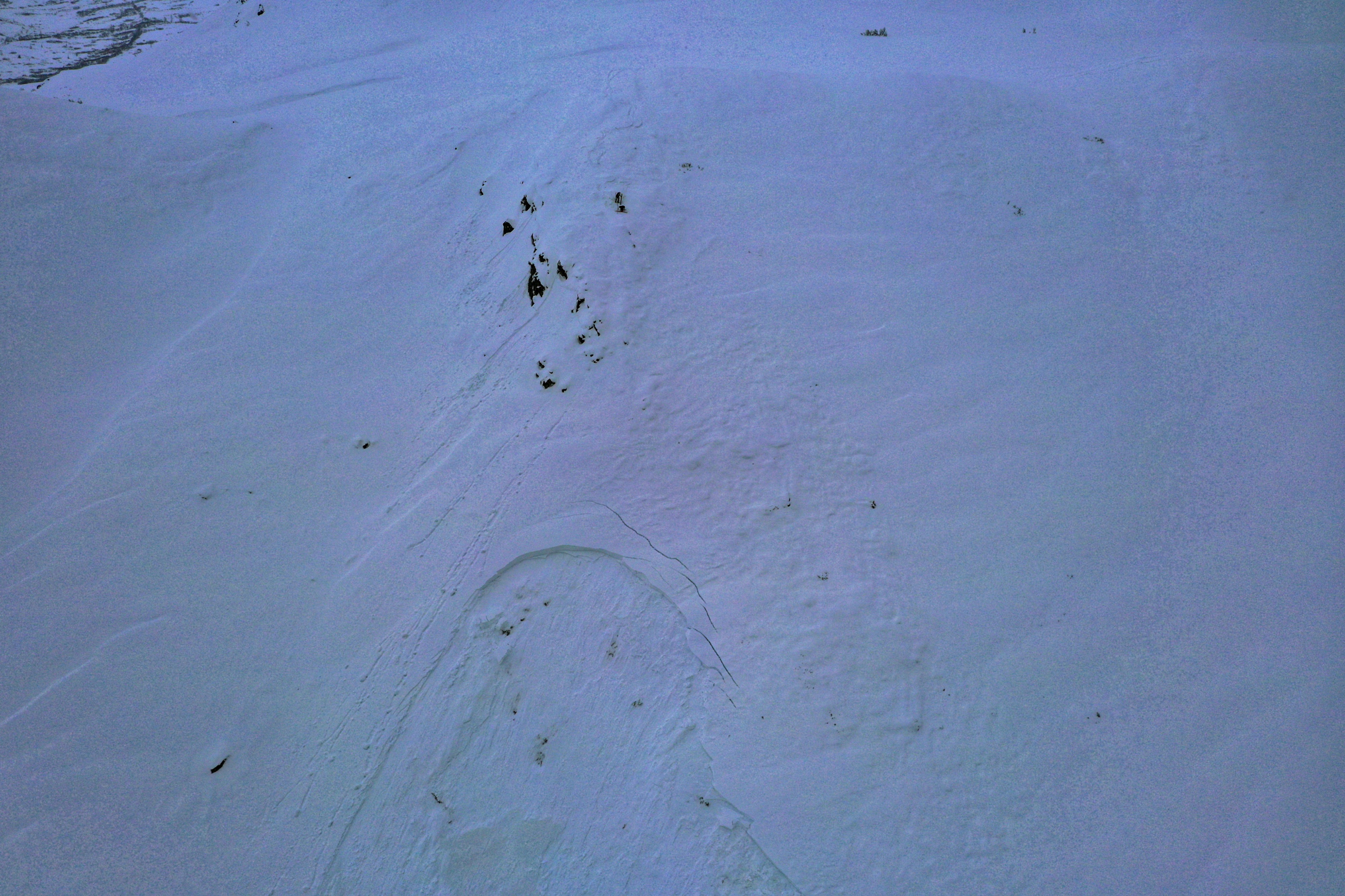
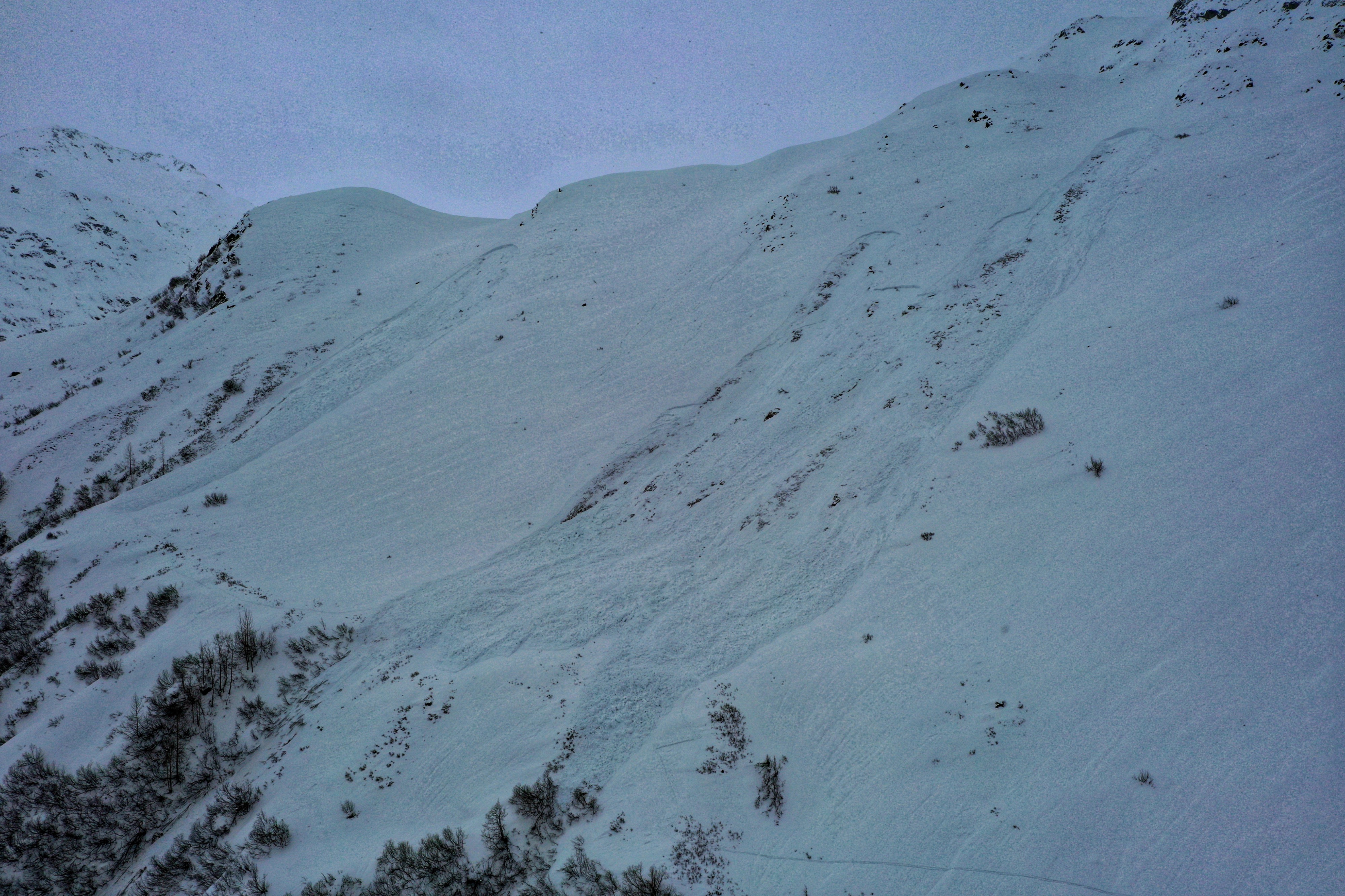
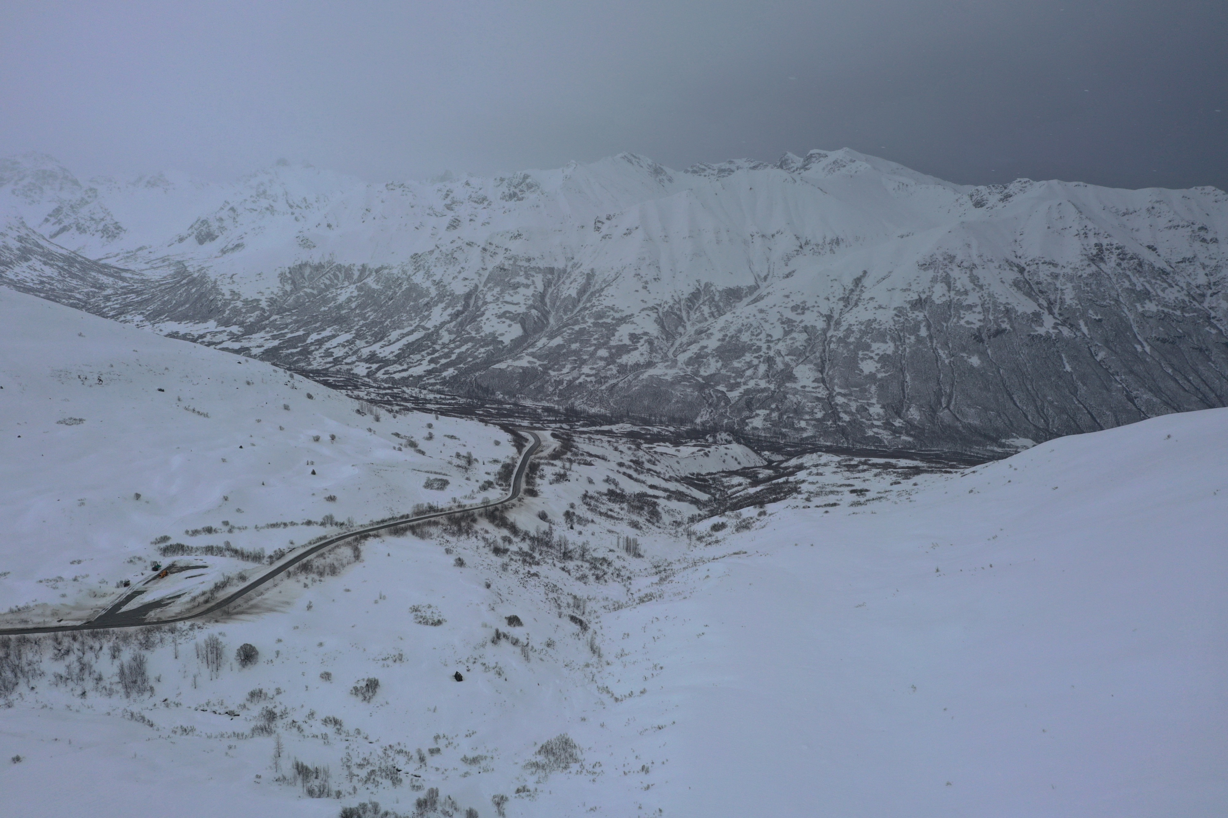
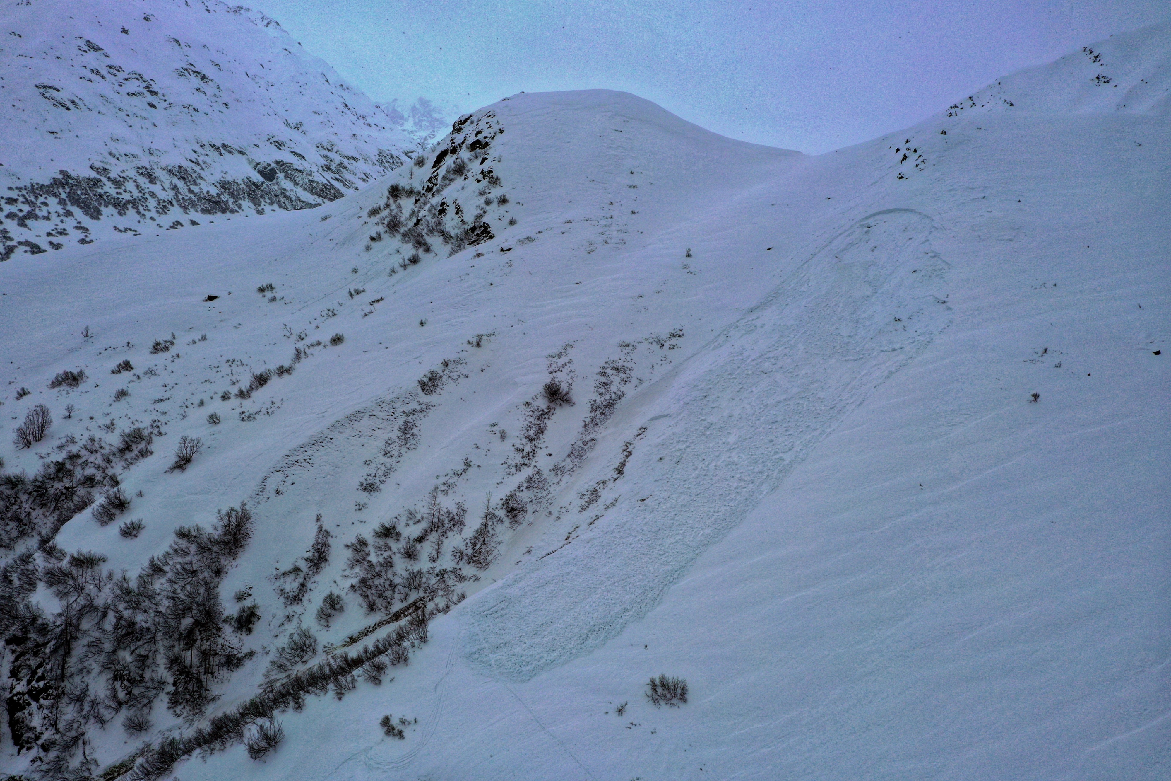
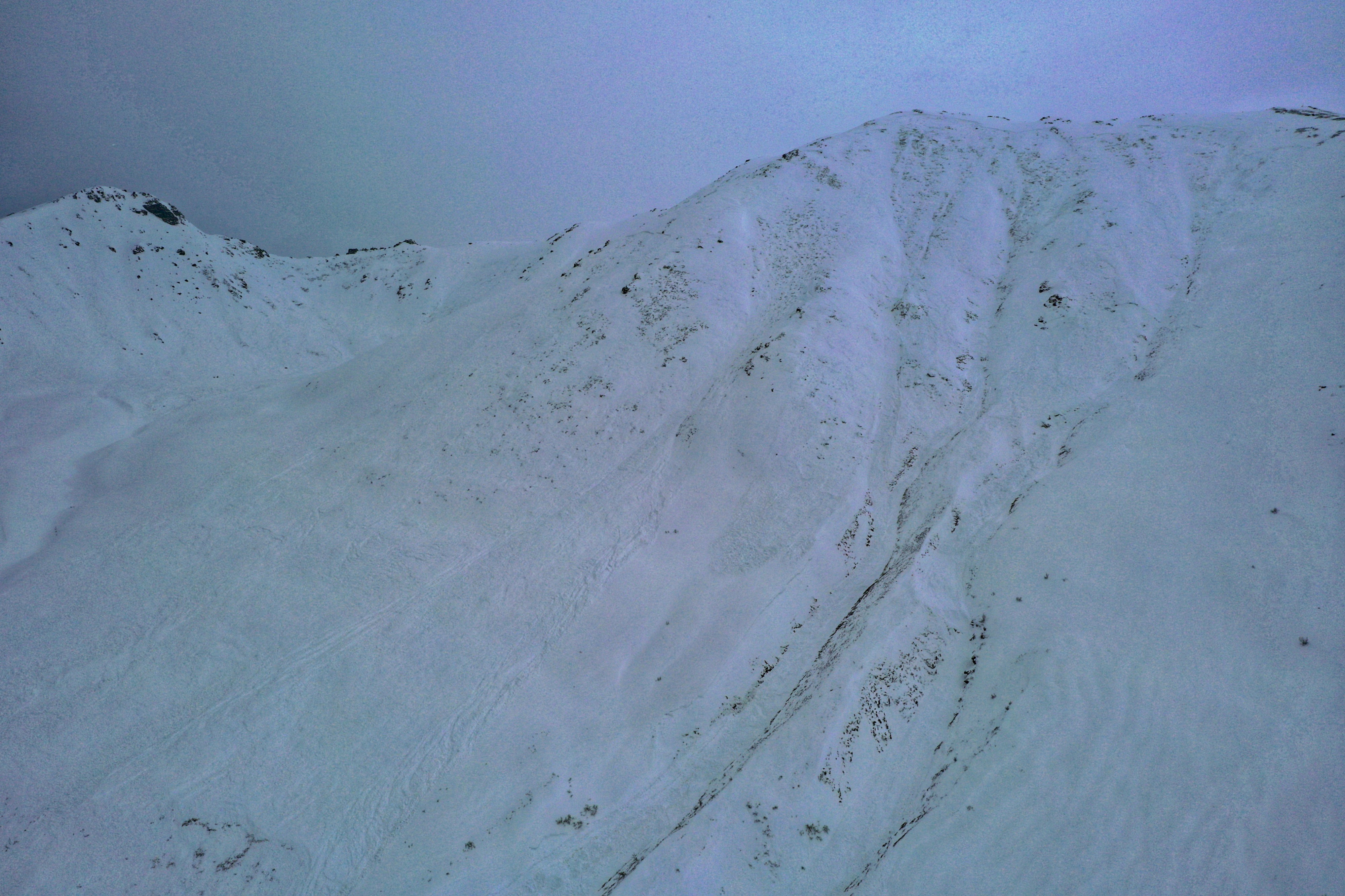
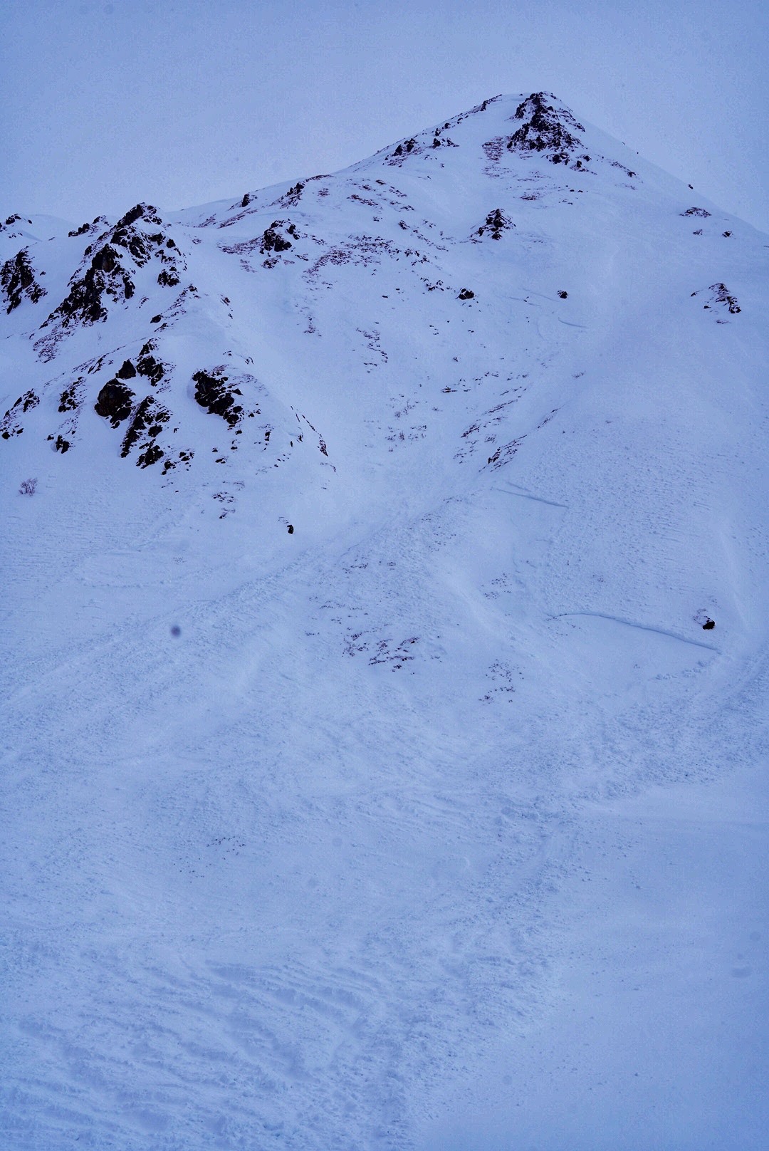
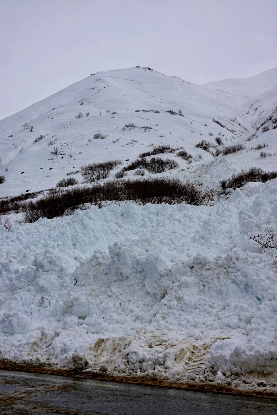
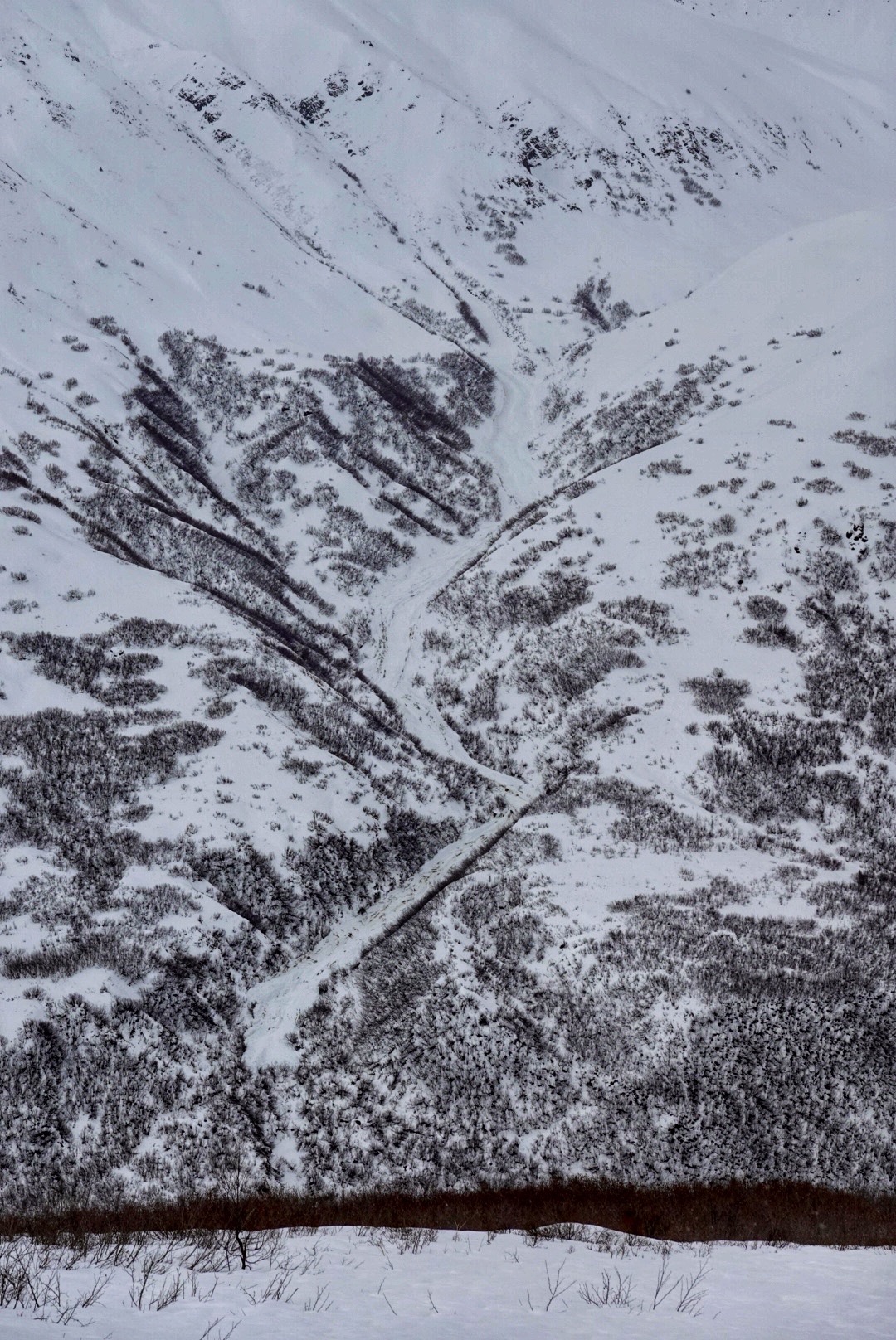
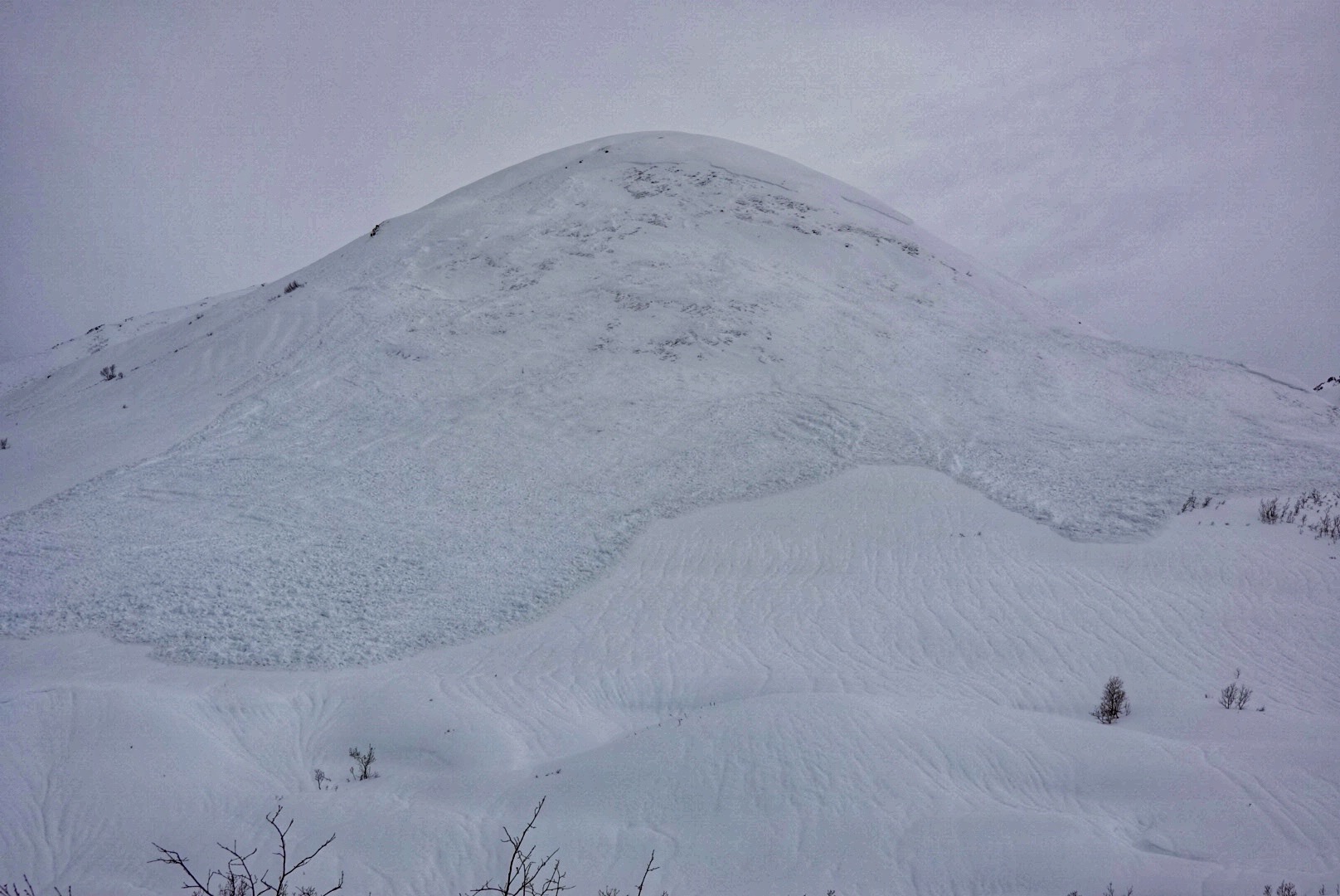
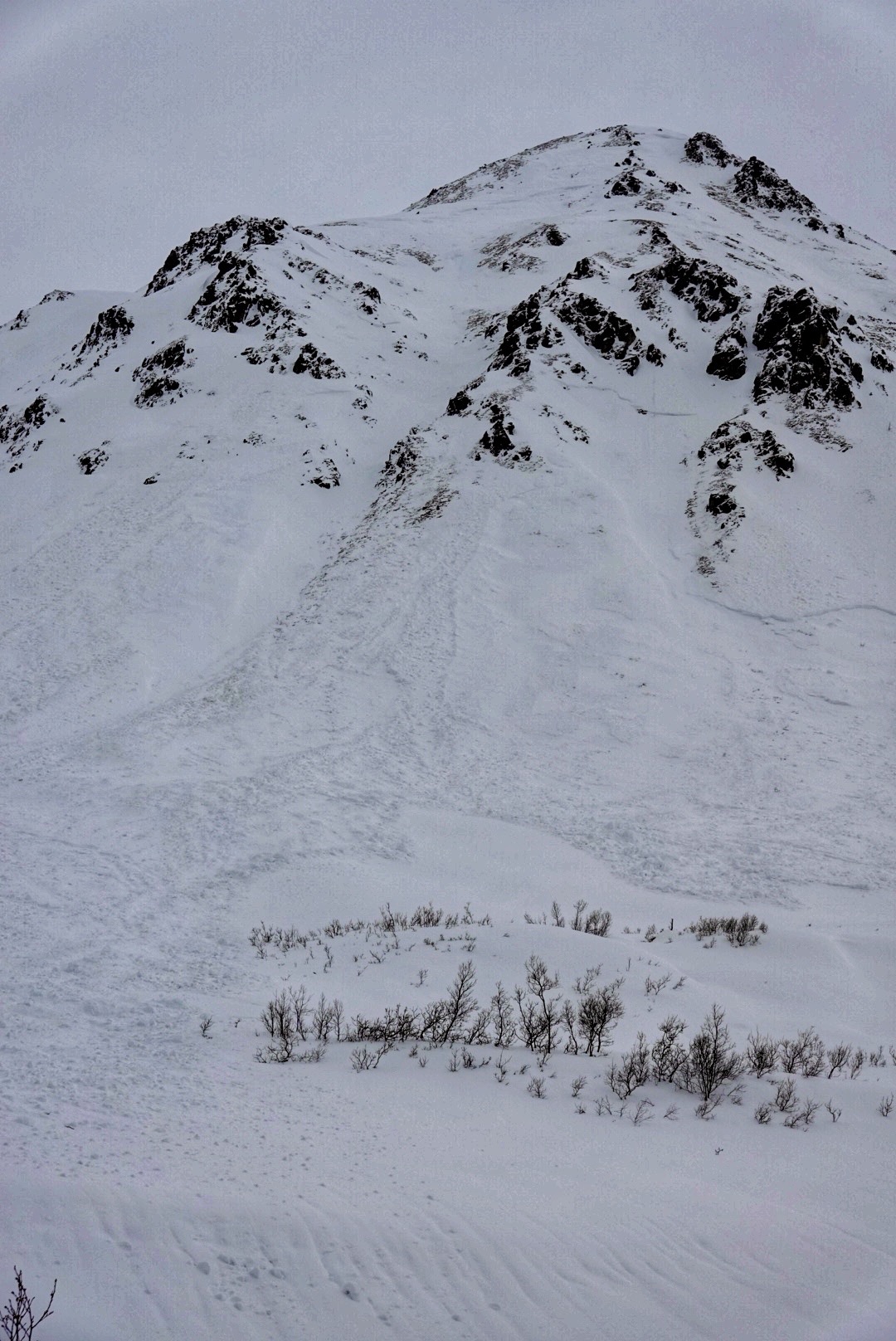
We spent the afternoon glassing and taking photos of recent avalanches, all occurring over the last week, including a skier-triggered slide above Dehlia Creek. Late in the day, I walked to the crown of both that skier-triggered slide and a nearby natural one. On the walk up slopes below 2500' were isothermic wet snow, barely supportable on skis in shallower areas. As I climbed in elevation, the snowpack remained moist-wet at all elevations and aspects I traversed. Both avalanches failed within the new snow on a thin layer of graupel and gouged down into the entire season's snowpack. The outlier being portions of the skier-triggered slide that failed on facets below a stiff melt freeze crust—these facets were large and moist.
Weather
- Cloud Cover
- overcast
- Wind Loading
- previous
- Rain Elevation
- 2500-3000
- Snow Avail For Transport
- moderate amounts
Light winds, overcast skies and warm temperatures.
Avalanche
- Size
- D3.5 R4
- Type
- HS
- Count
- 7
- Aspect
- SE
- Trigger
- N
- Elevation
- 4400 ft
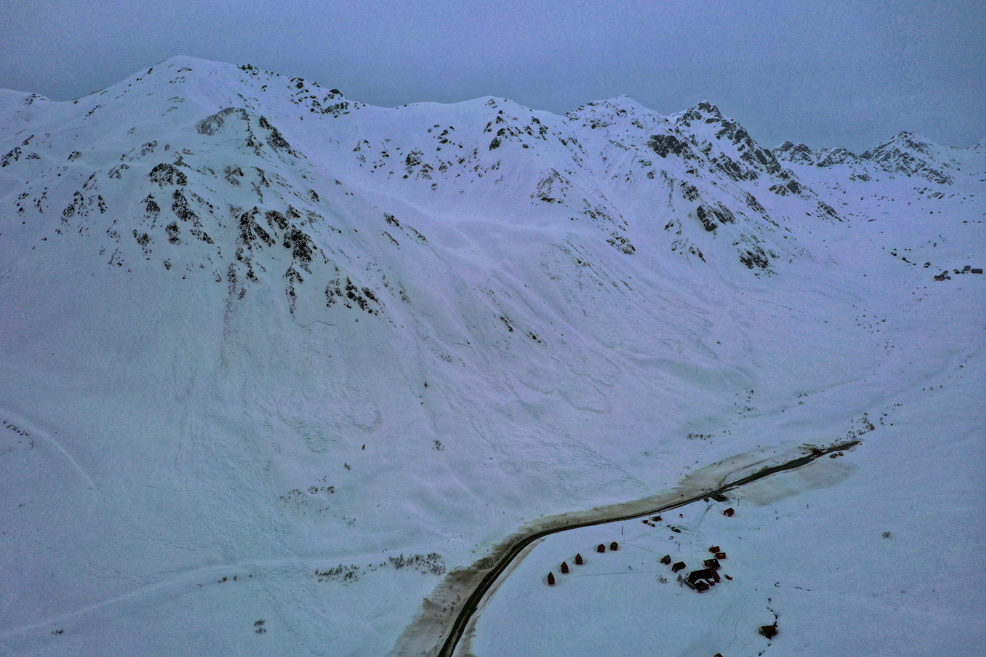
We observed numerous avalanches that have occurred since the start of this last storm cycle, from Wednesday to Wednesday. We will conintue to populate the avalanche database in the weeks to come.