
Quick report
- Cracking
- specific
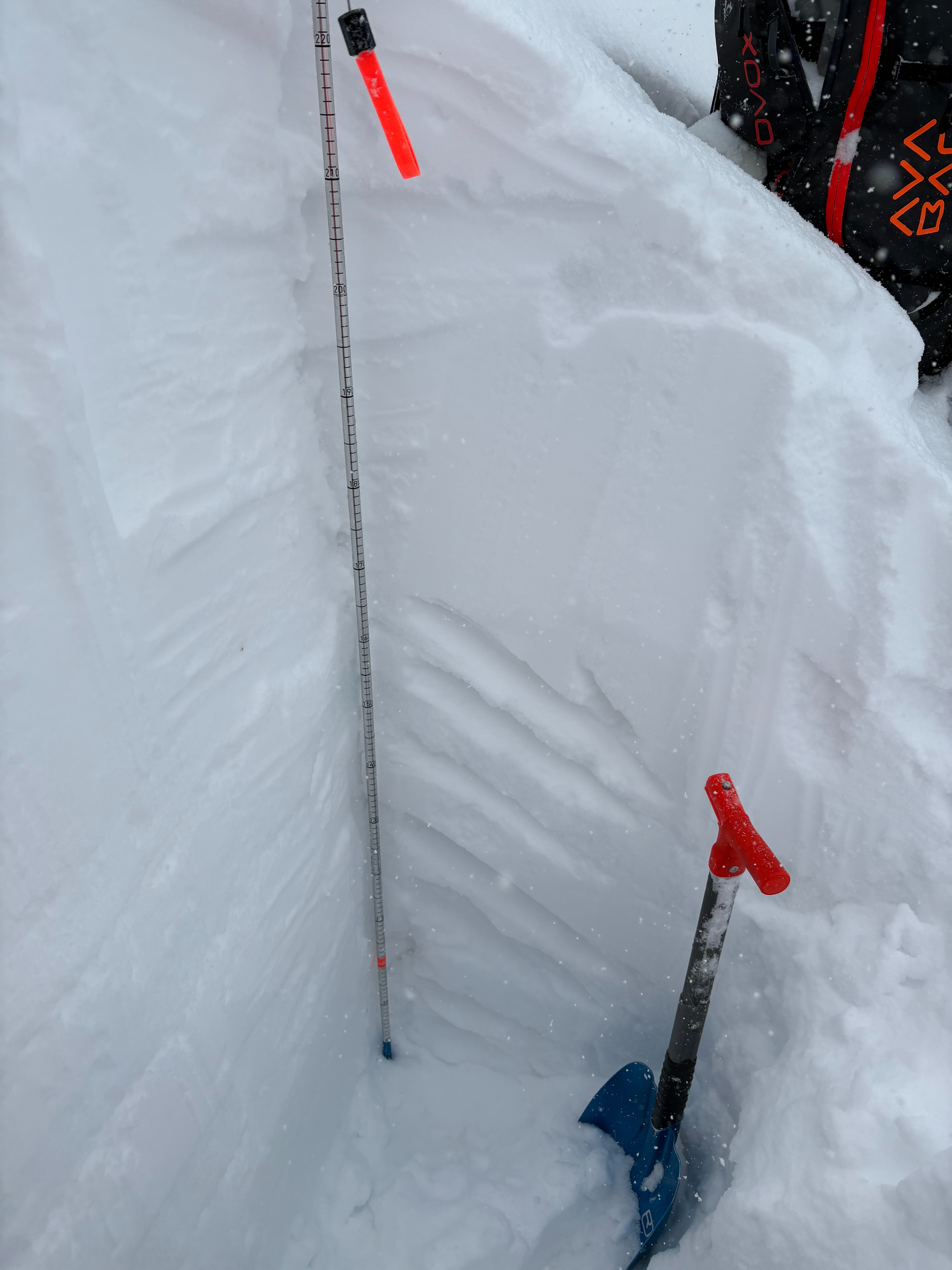
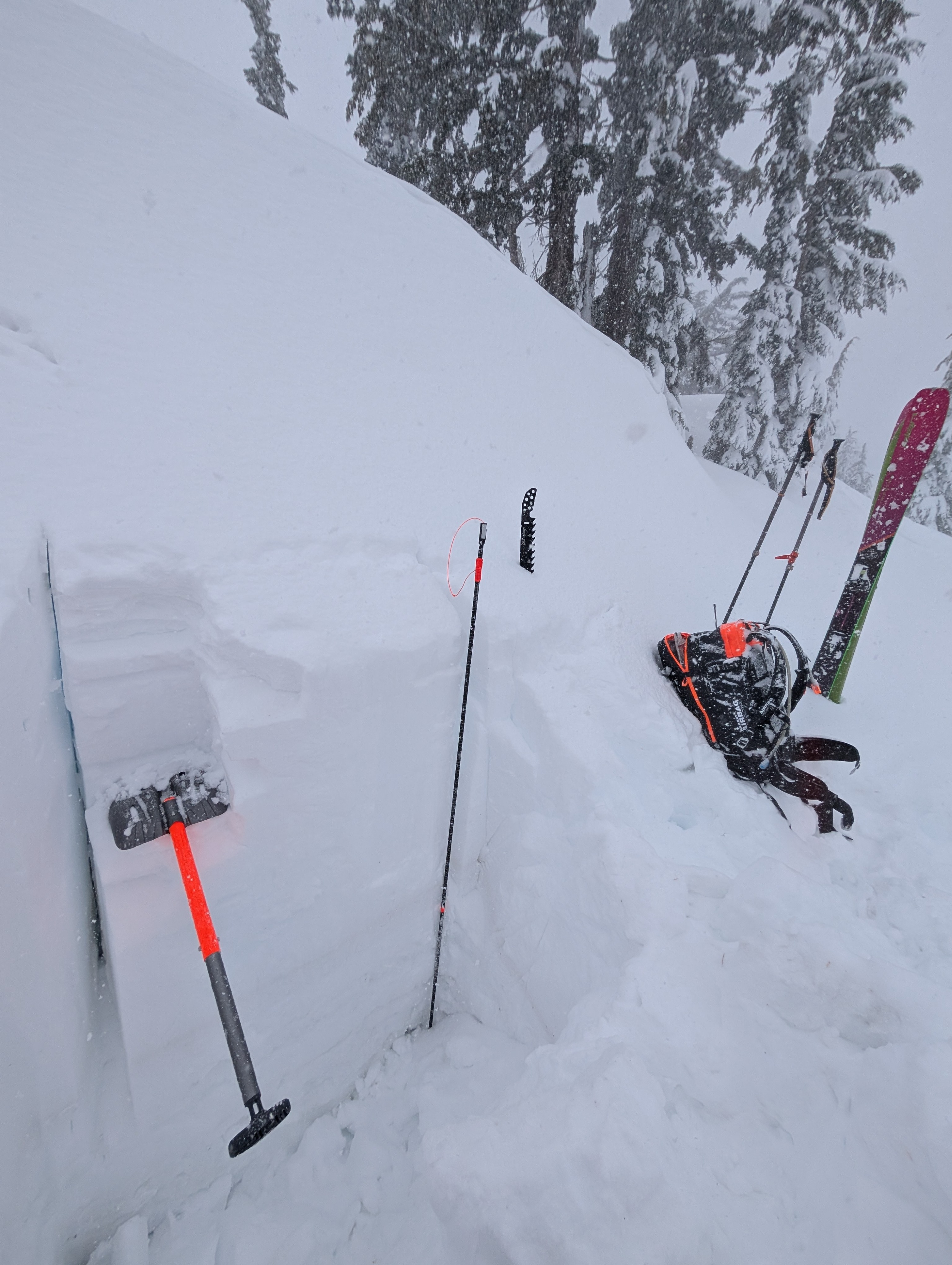
Below the 3-4 inches of soft new snow that had accumulated as of noon today, about 3 ft of dense snow exists. This dense storm snow has accumulated over the last several days during the atmospheric river events. It rests on top of old crusts and facets, which remain softer and weaker than the snow above them. We did not trigger any deep cracks on these layers today, nor did snowpit tests produce unstable results in the locations we visited on Chickadee Ridge.
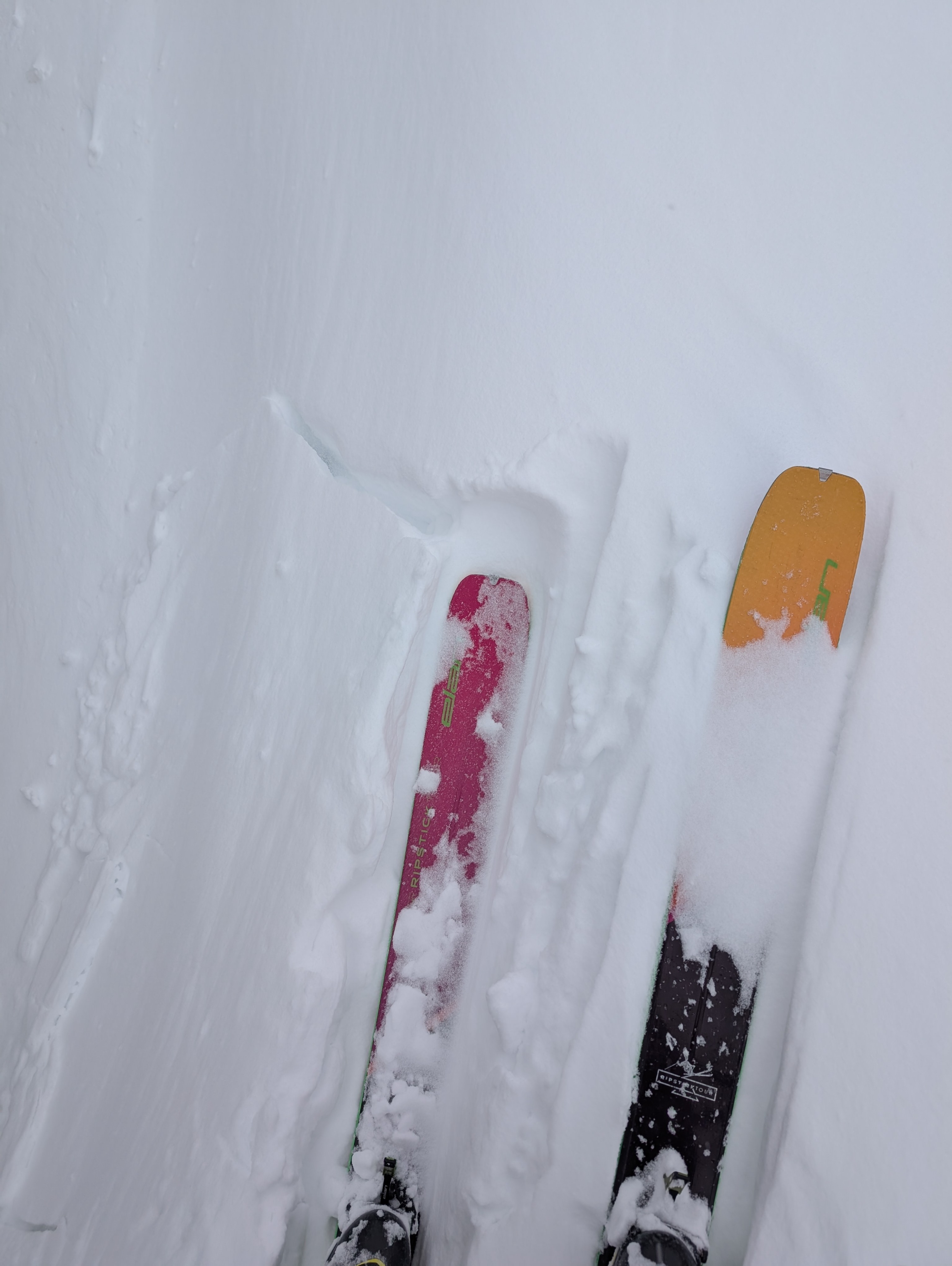
The new snow and wind had started to form small wind slabs on leeward aspects along the ridge. These new slabs remained shallow and did not extend very far downslope as of noon. Still, ski kicks on small wind-loaded test slopes triggered shallow cracks in the new snow.
Small cracks on wind-loaded test slopes along the ridgeline.Weather
- Air Temp
- 25 °F
- Cloud Cover
- overcast
- Wind Loading
- moderate
- Recent Snowfall
- 8 cm
- Snow Avail For Transport
- moderate amounts
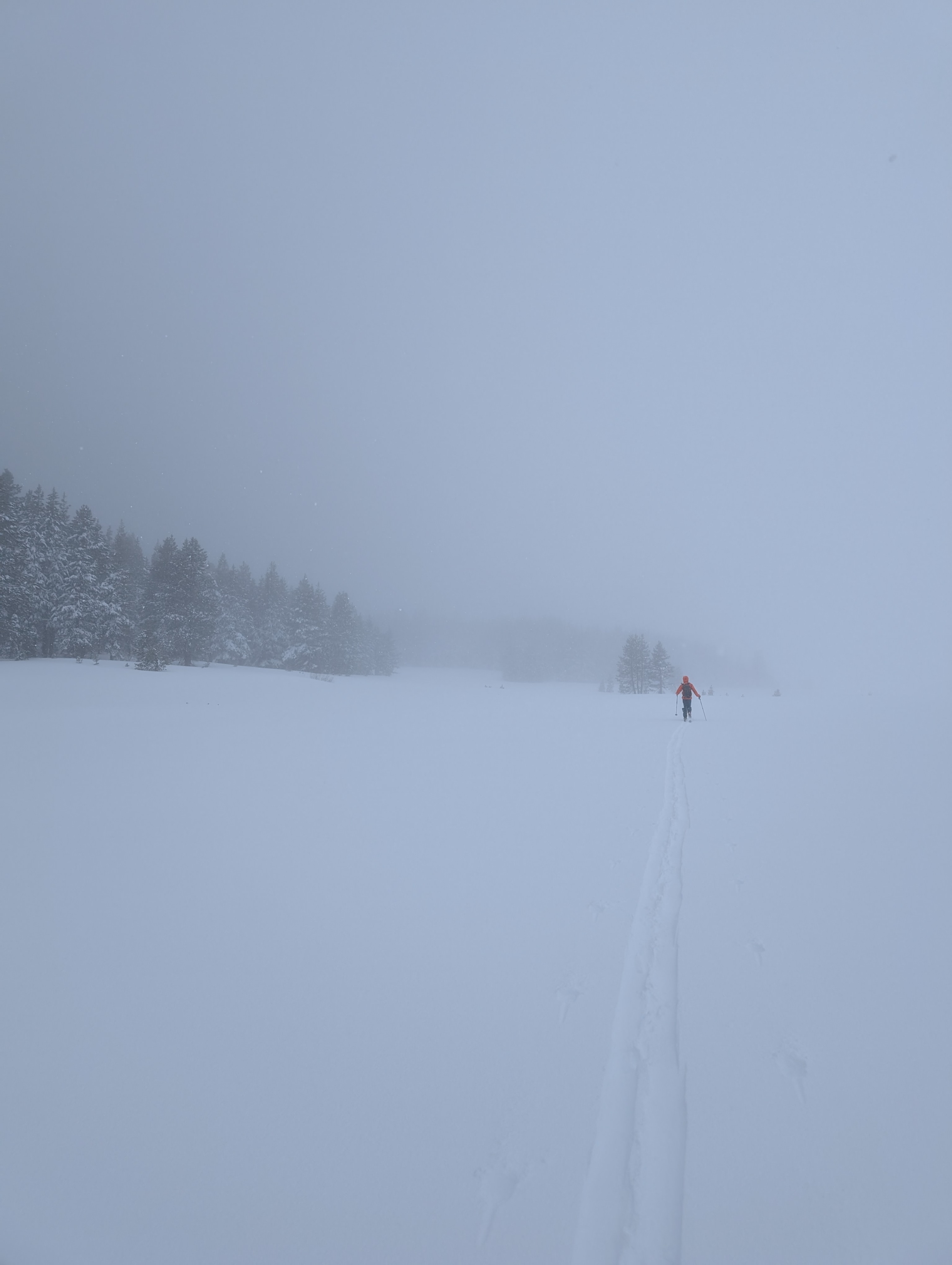
Precipitation and wind moved into the area this morning and continued throughout our field time. Snow levels hovered around 6300 - 6500 ft until at least 1 pm. On Chickadee Ridge, snowfall rates averaged about 1 inch per hour (S2-S3). Strong SW winds created widespread blowing snow, resulting in poor visibility.