
Quick report
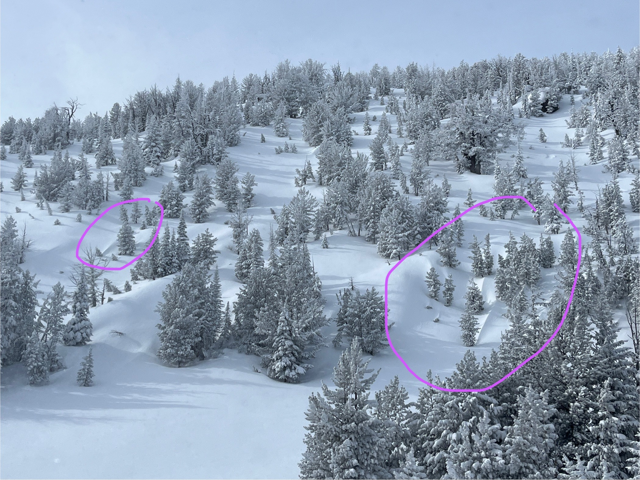
Gorgeous day to be in the mountains, with cold temps and cloud cover preserving powder. In moments of better visibility, I could not see any crowns in Gunsight, Lee's NW, or Lakes Lookout couloirs. Riders in 35+ degree terrain on poster ridge and NW shoulder of Lee's did not trigger any slabs, could not see if dry loose triggered.
Riding quality, as shown by an overflowing ski area parking lot on a Thursday, is excellent.
No signs of instability.Weather
- Air Temp
- 14.4
- Cloud Cover
- overcast
- Wind Loading
- light
- Rain Elevation
- valley bottom
- Recent Snowfall
- 8
- Snow Avail For Transport
- large amounts
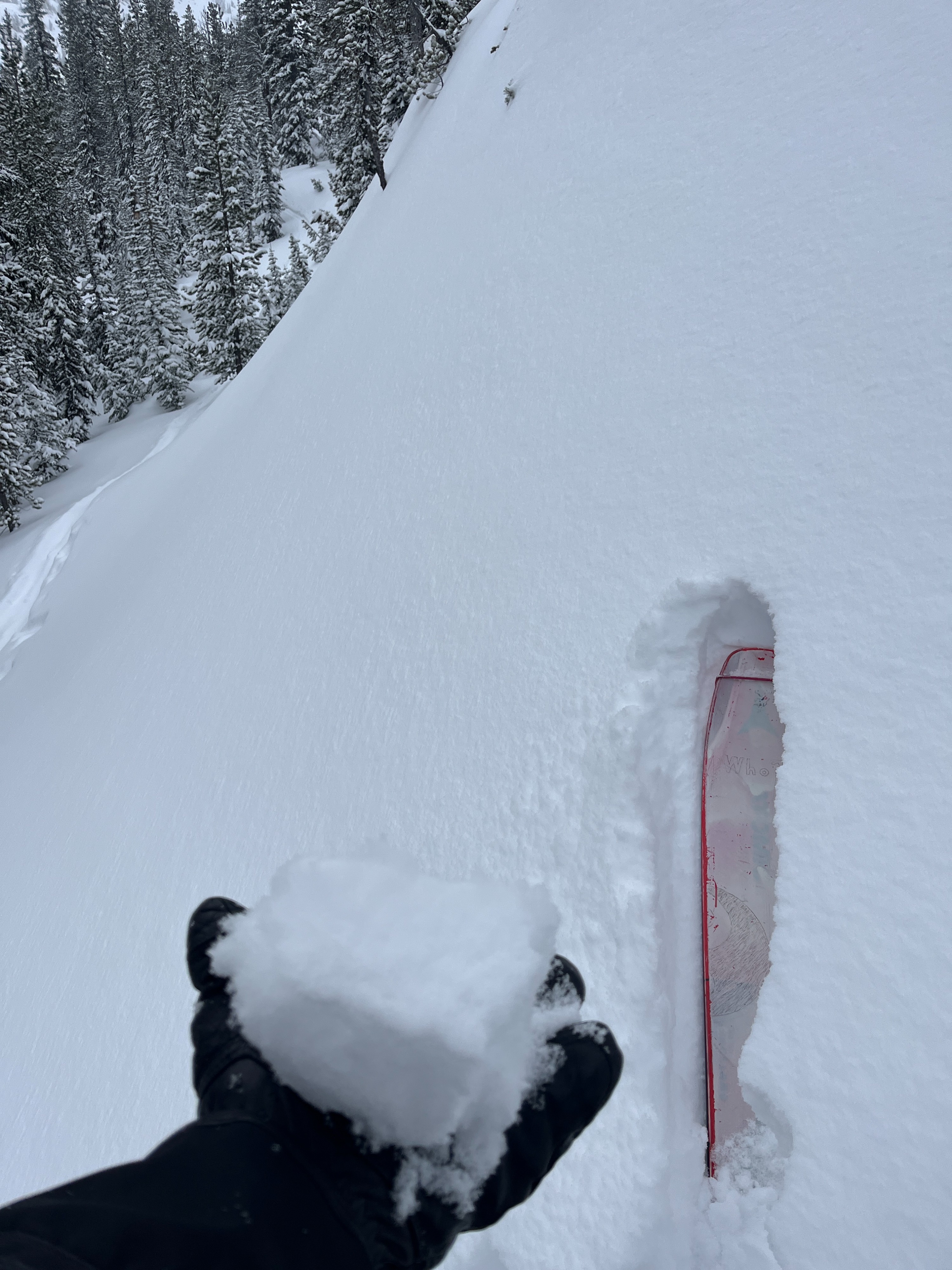
Temps stayed in the teens and winds were Light and variable, with the exception of ridgeline with Moderate south winds. Blowing snow was limited to occasional swirls, did not observe new windslabs forming during day. Snow flurries left less than 1" of new.
Snowpack
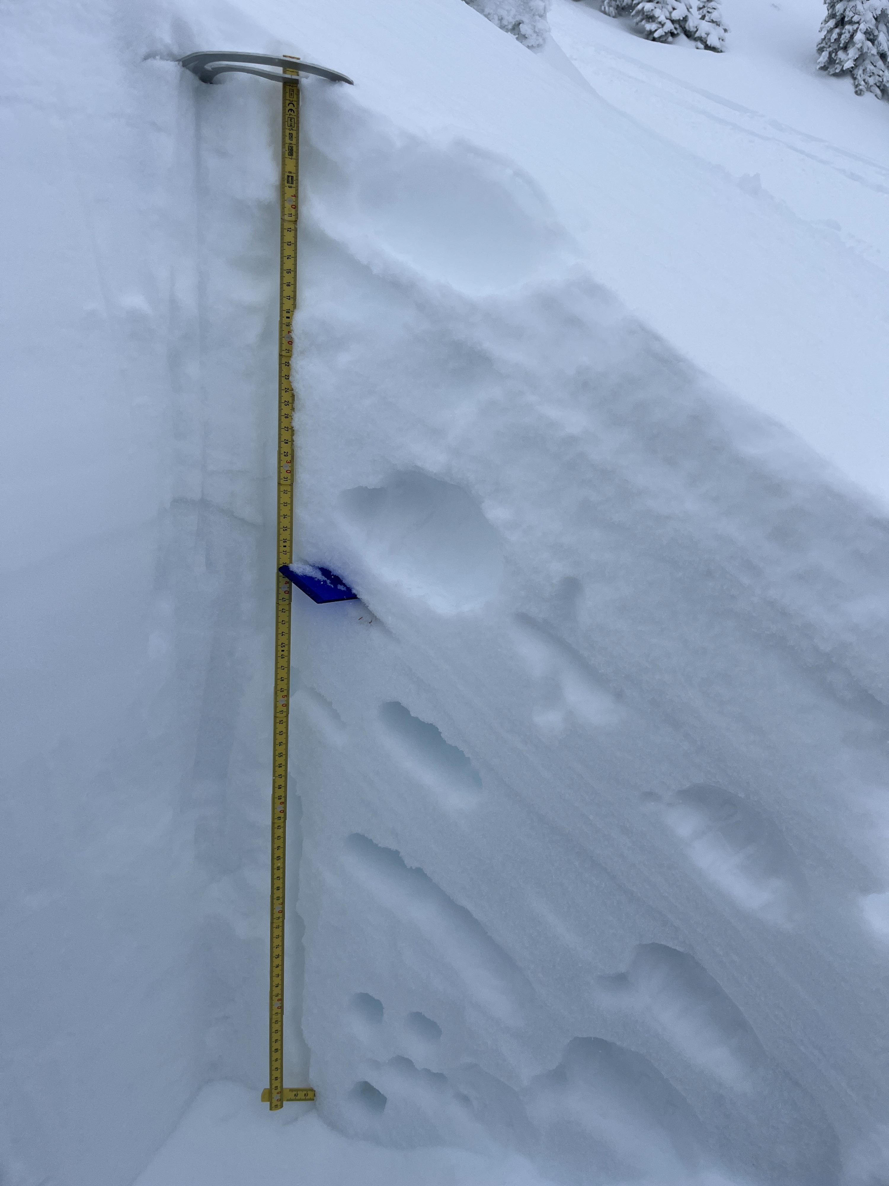
An inoffensive "eggshell" temperature crust is buried on all aspects and elevations below 8-15 cm of recent storm snow. That upper 8-15cm has settled into a cohesive storm slab that is no longer reactive. 1/31 melt freeze crust is down 30-40cm.
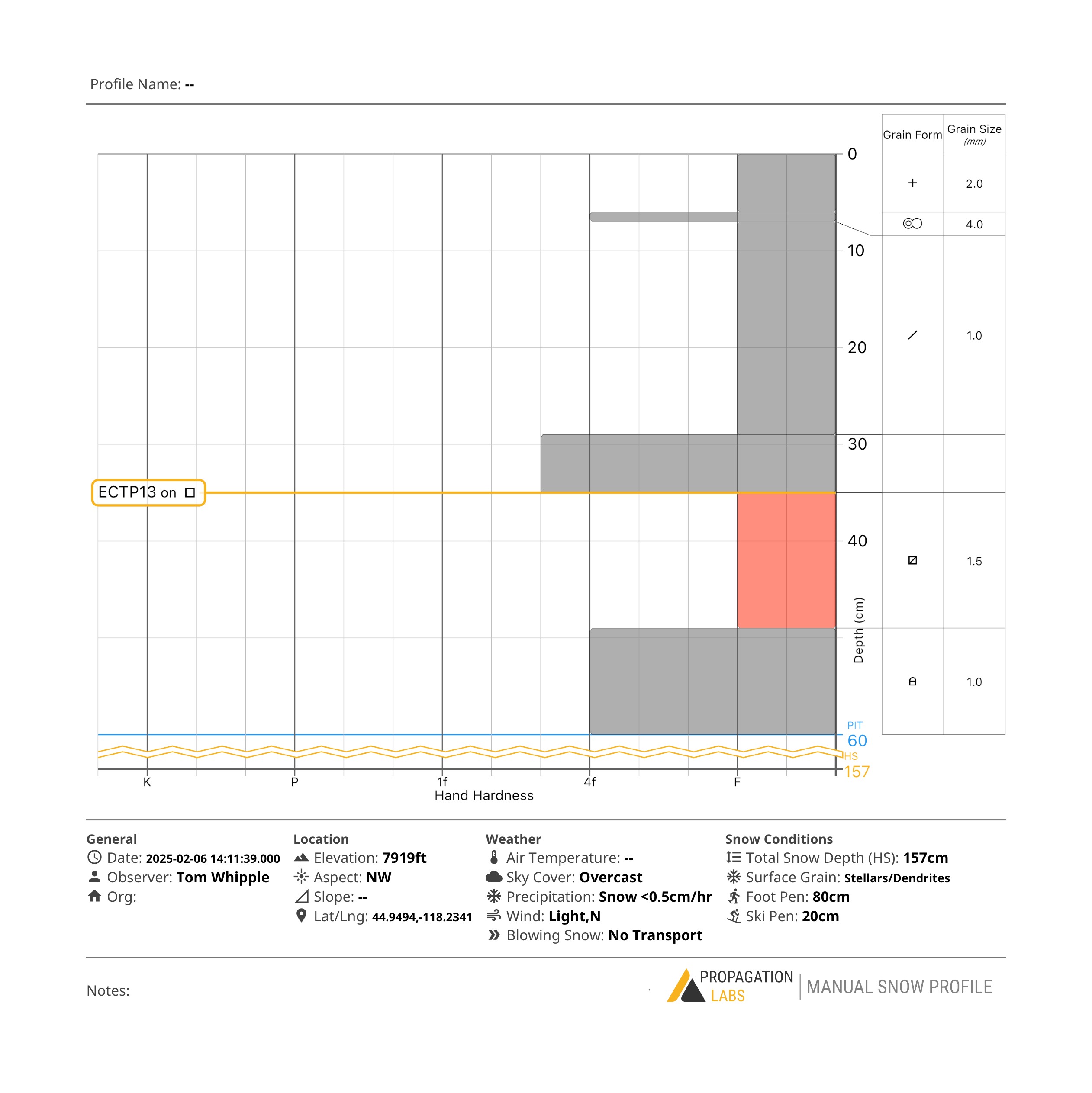
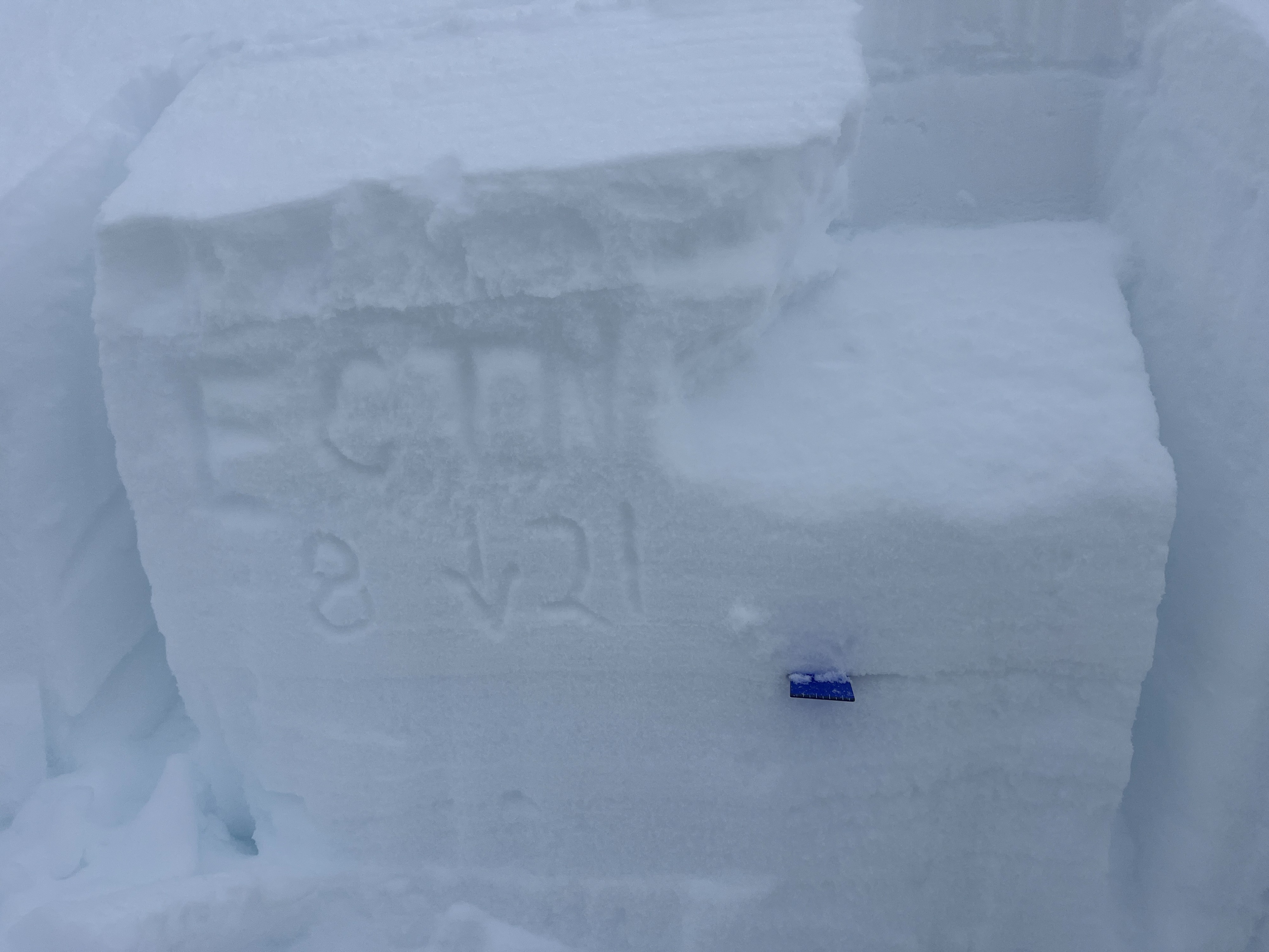
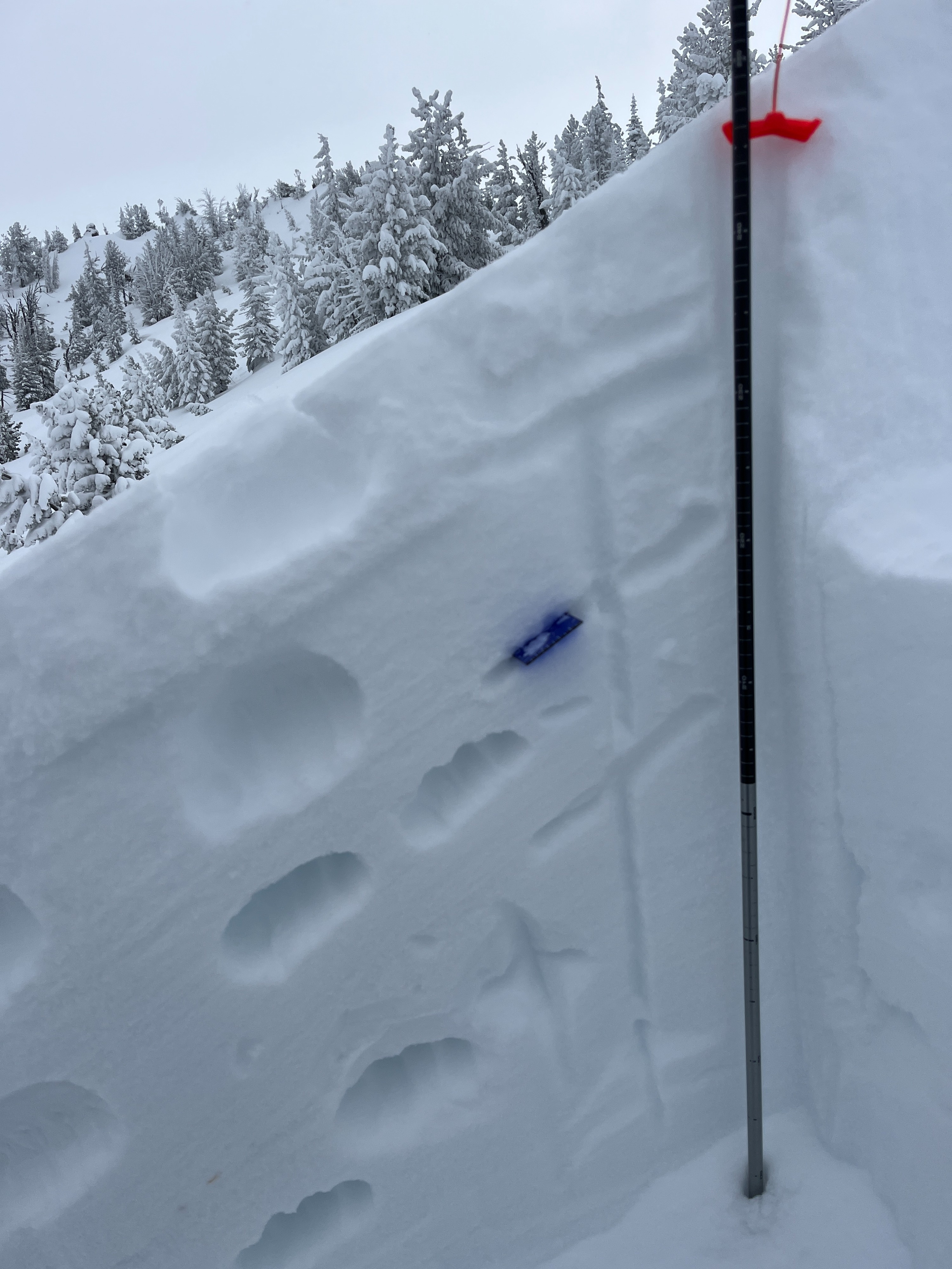
Below 7900', the new snow was preserved with almost zero wind effect. Above there, winds from Monday or Tuesday left texture, but test slopes did not produce any cracking or slides. Digging and probing above that line showed good bonding between new storm snow and old unreactive windslabs (right side up, see observation wall photos 1+2). At 7600' however, a pit showed fist hard facets intact and a hard enough slab to propagate (Propagation labs profile). Moving forward, if you dig for the 1/31 persistent weak layer, please target mid elevation sheltered terrain.