
Quick report
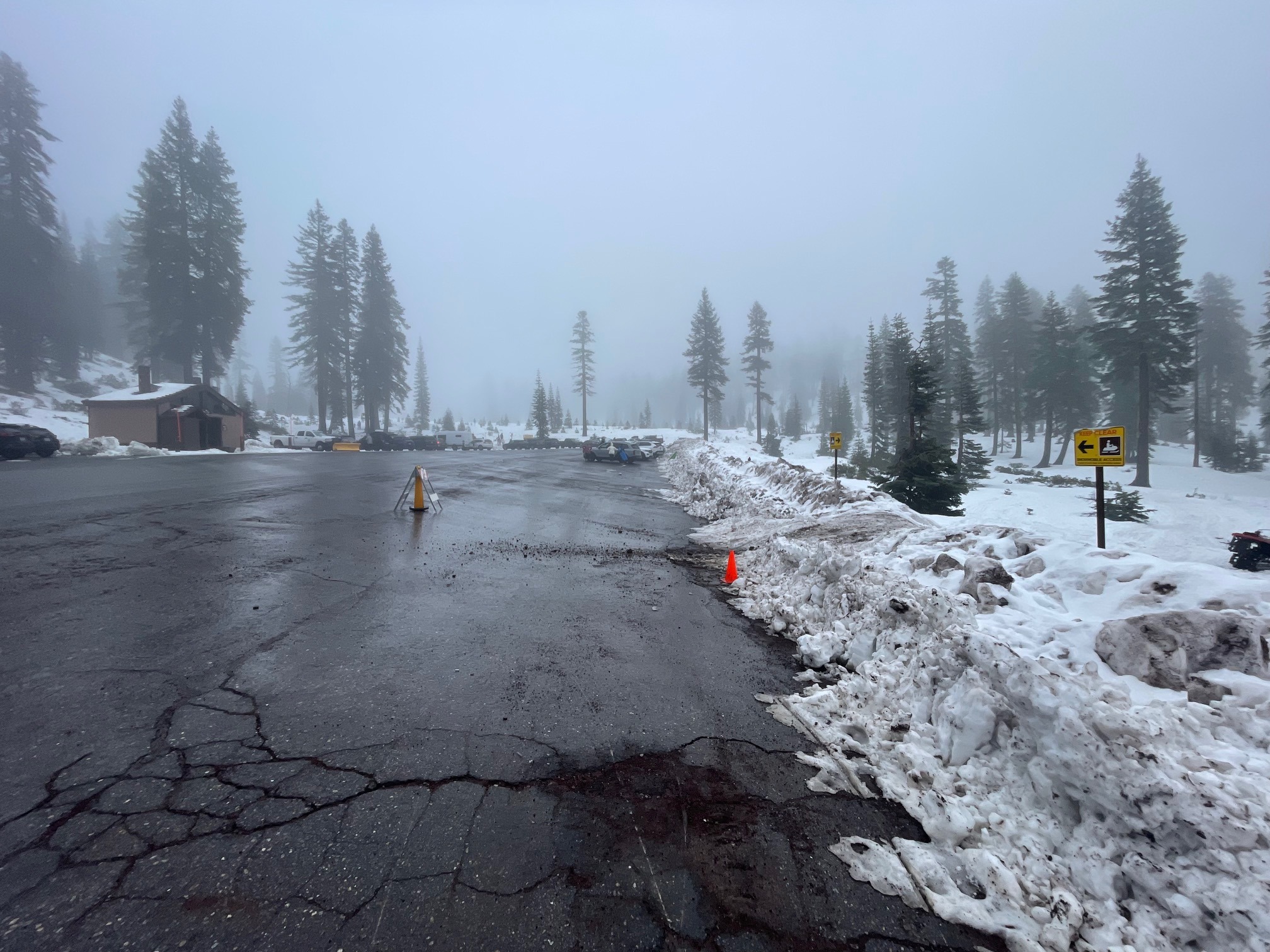
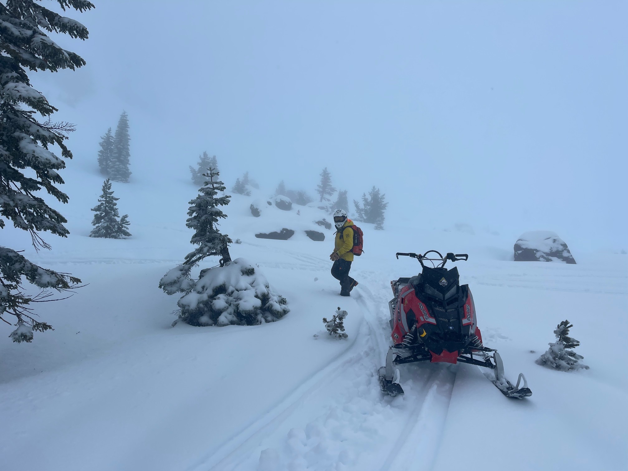
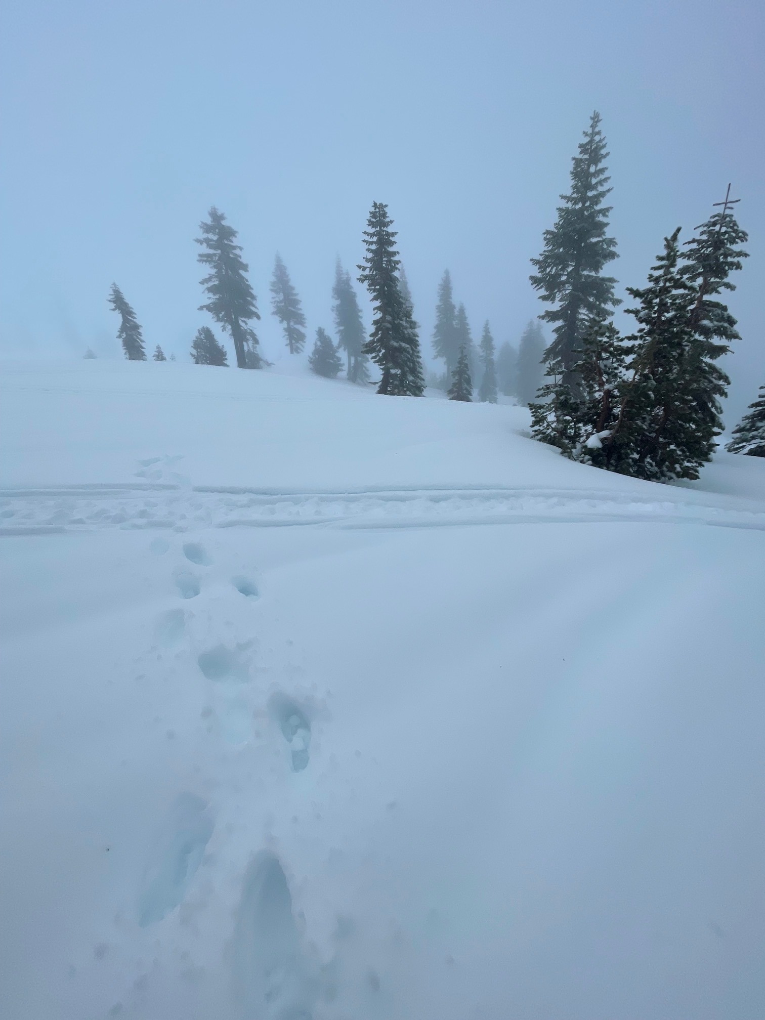
Warm and wet are the words of the day. An already shallow snowpack is melting below treeline. Rain was observed up to at least 9,000 feet today. Visibility was very poor. Conditions for any activity were...WET!
No instability has been observed. The moisture laden snowpack is not going anywhere and will lock in place after cooling tonightWeather
- Air Temp
- 34
- Cloud Cover
- obscured
- Wind Loading
- none
- Rain Elevation
- 9,000+
- Recent Snowfall
- 0
- Snow Avail For Transport
- none
It doesn't get much nastier. Very wet, foggy, mist, rain, wind, poor visibility. Temperatures today reached 34 F at 8,000 feet. The average temperature over the past 24 hours is 33 F. Snow level > 9,000 feet. Wind has blown predominantly out of the SSE, averaging 12 mi/hr with gusts to 43 mi/hr at our Gray Butte weather station
Snowpack
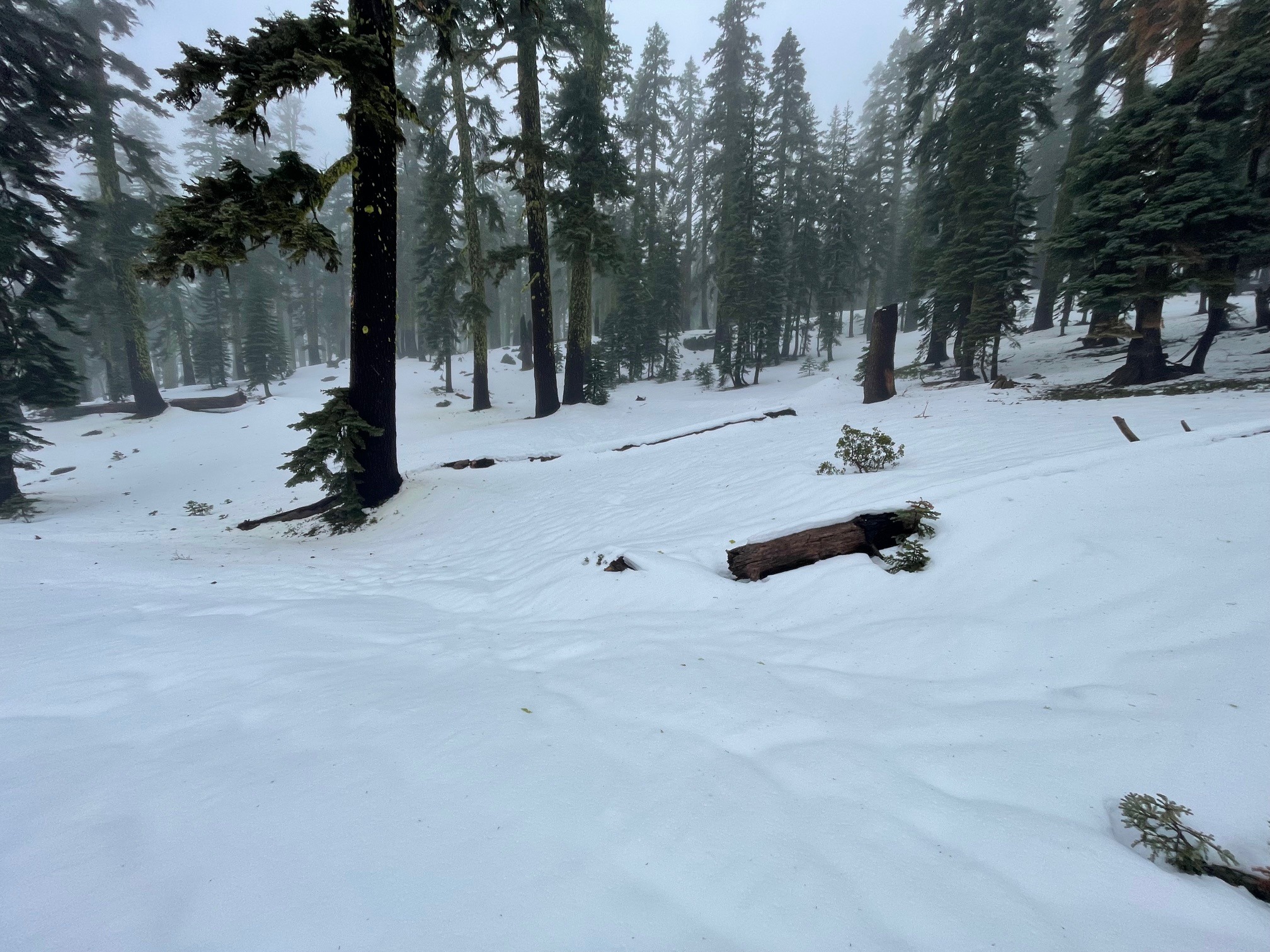
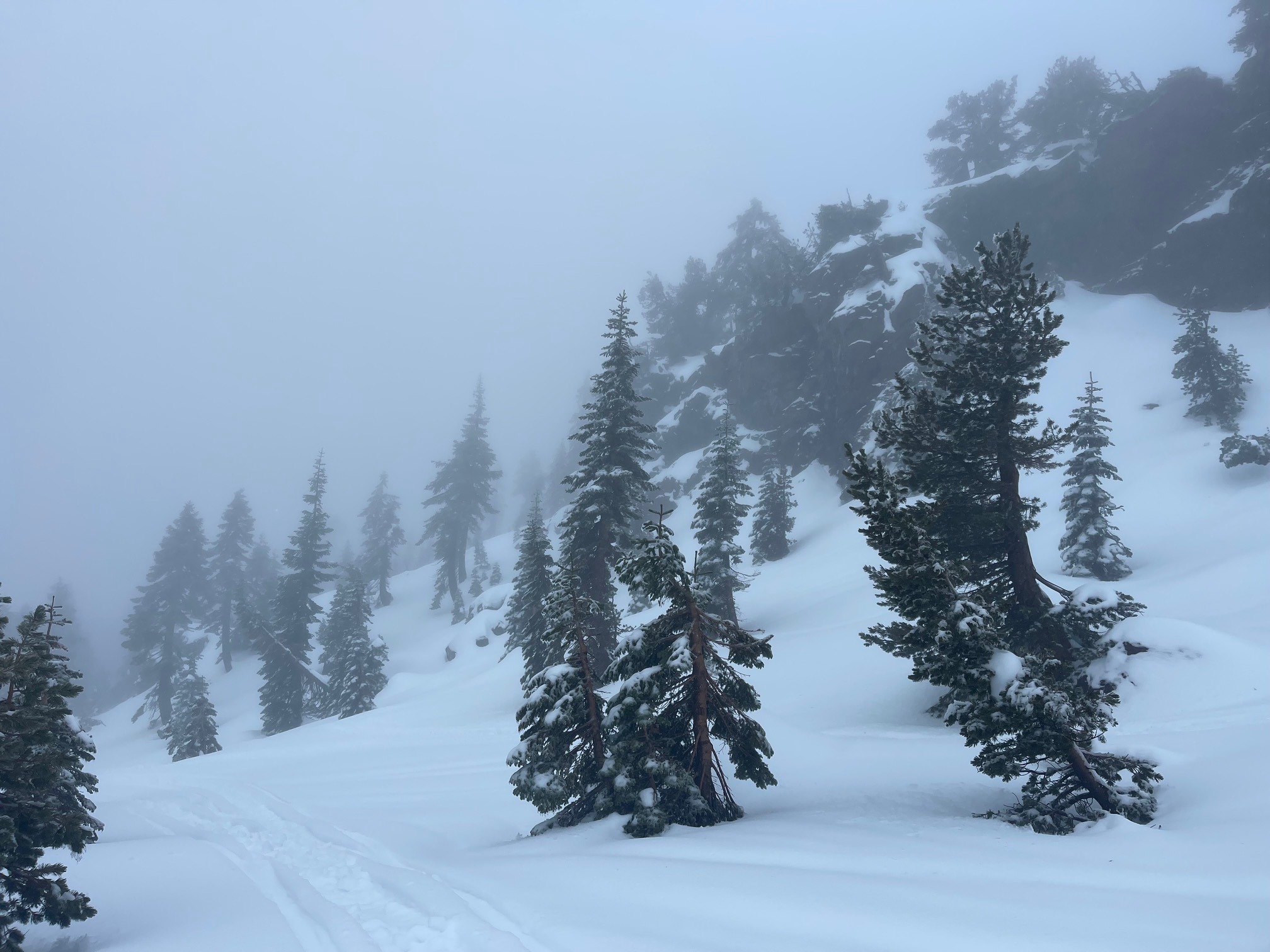
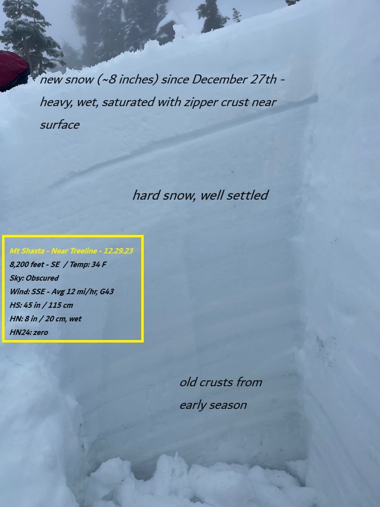
A 3 to 4 foot snowpack exists near and above treeline on Mount Shasta. This is the only usable snowpack in the area. The snowpack, prior to the storms beginning on December 27th, is solid and stable. New snow since 12/27 is wet and will lock in place with cooling temperatures. Wet snow is not available for wind transport. No instability red flags or avalanches were observed today.
Below treeline, snow is melting and skiing and riding is dicey.
Avalanche
No avalanches observed