
Quick report
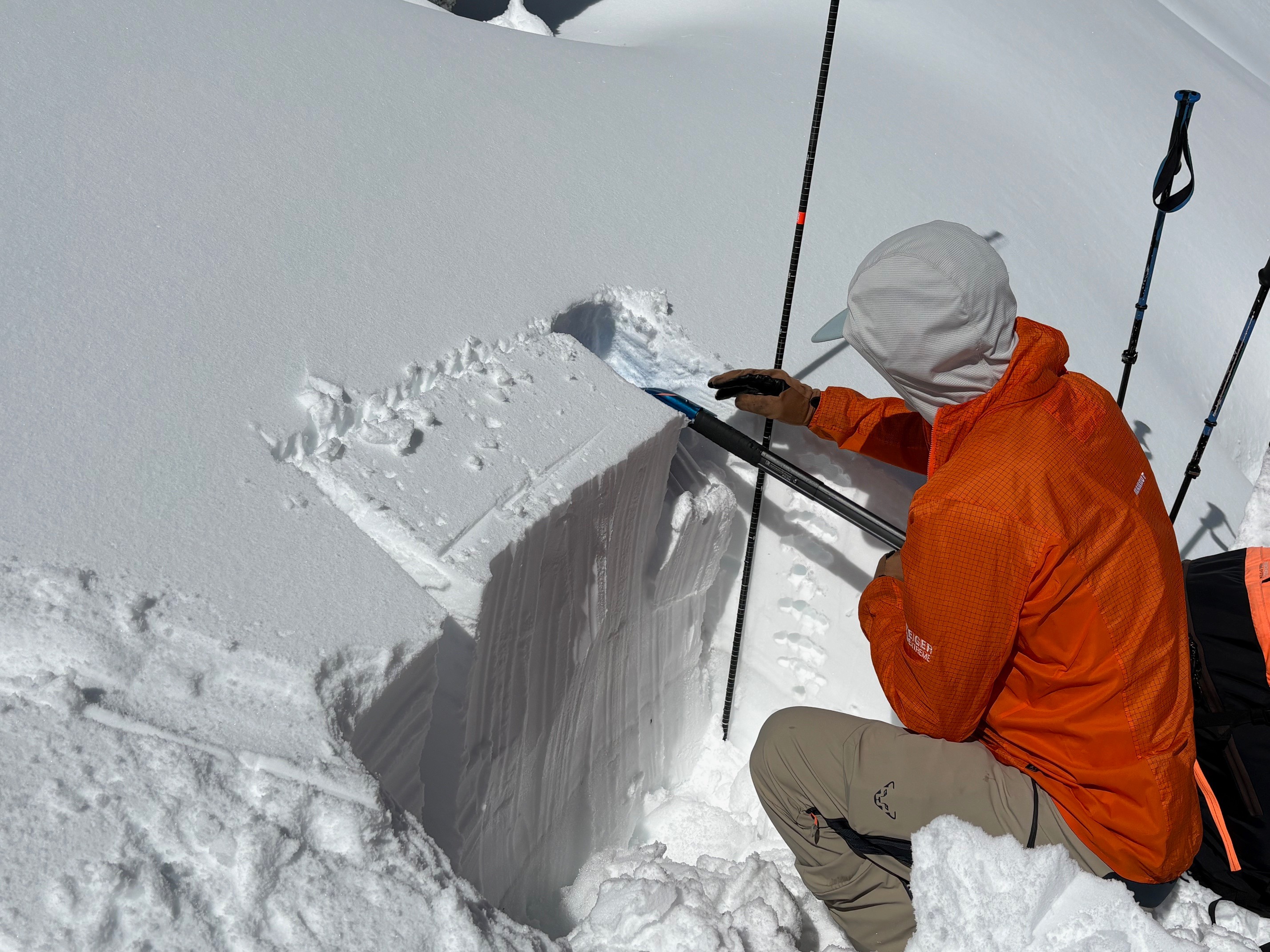
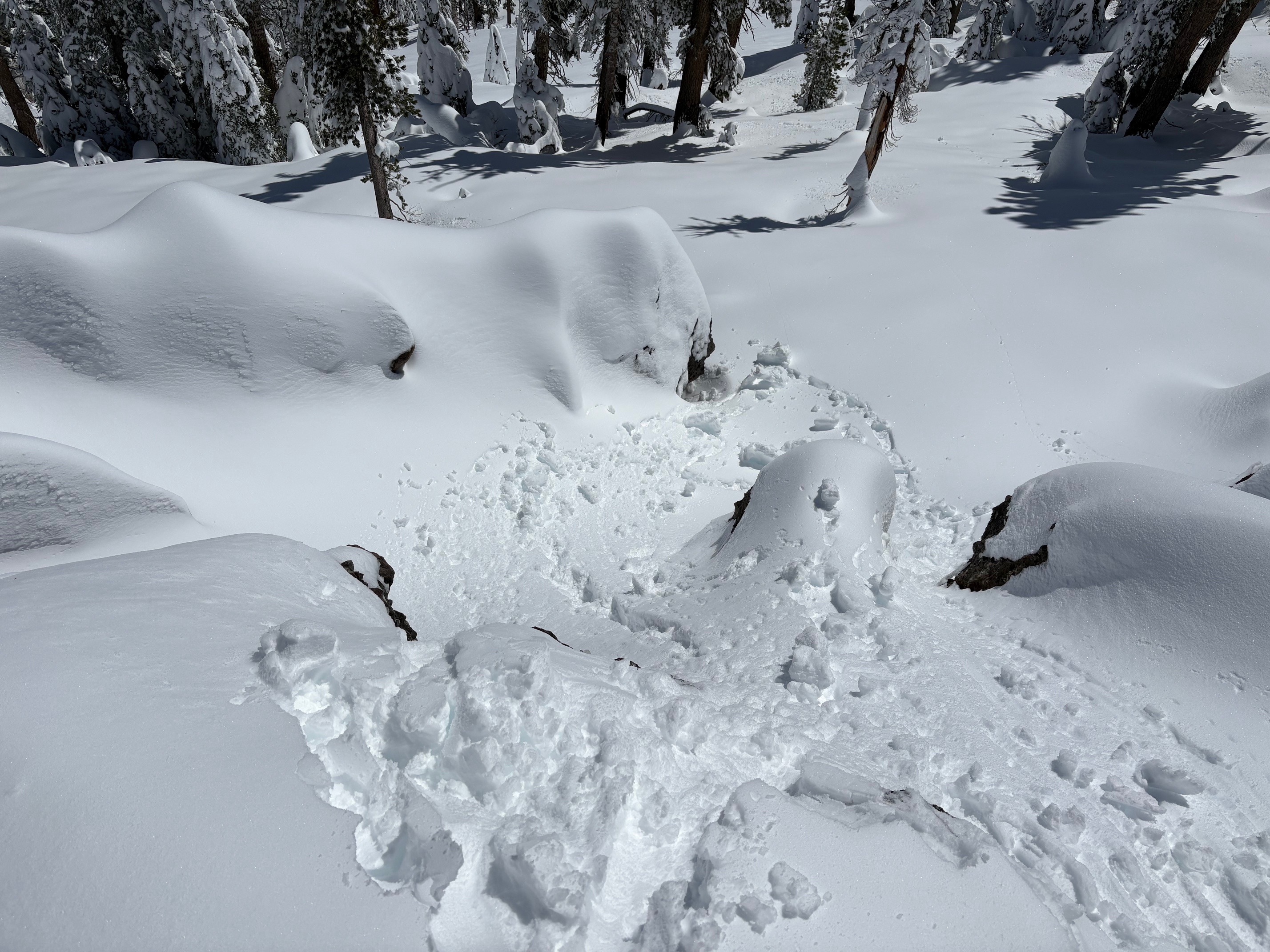
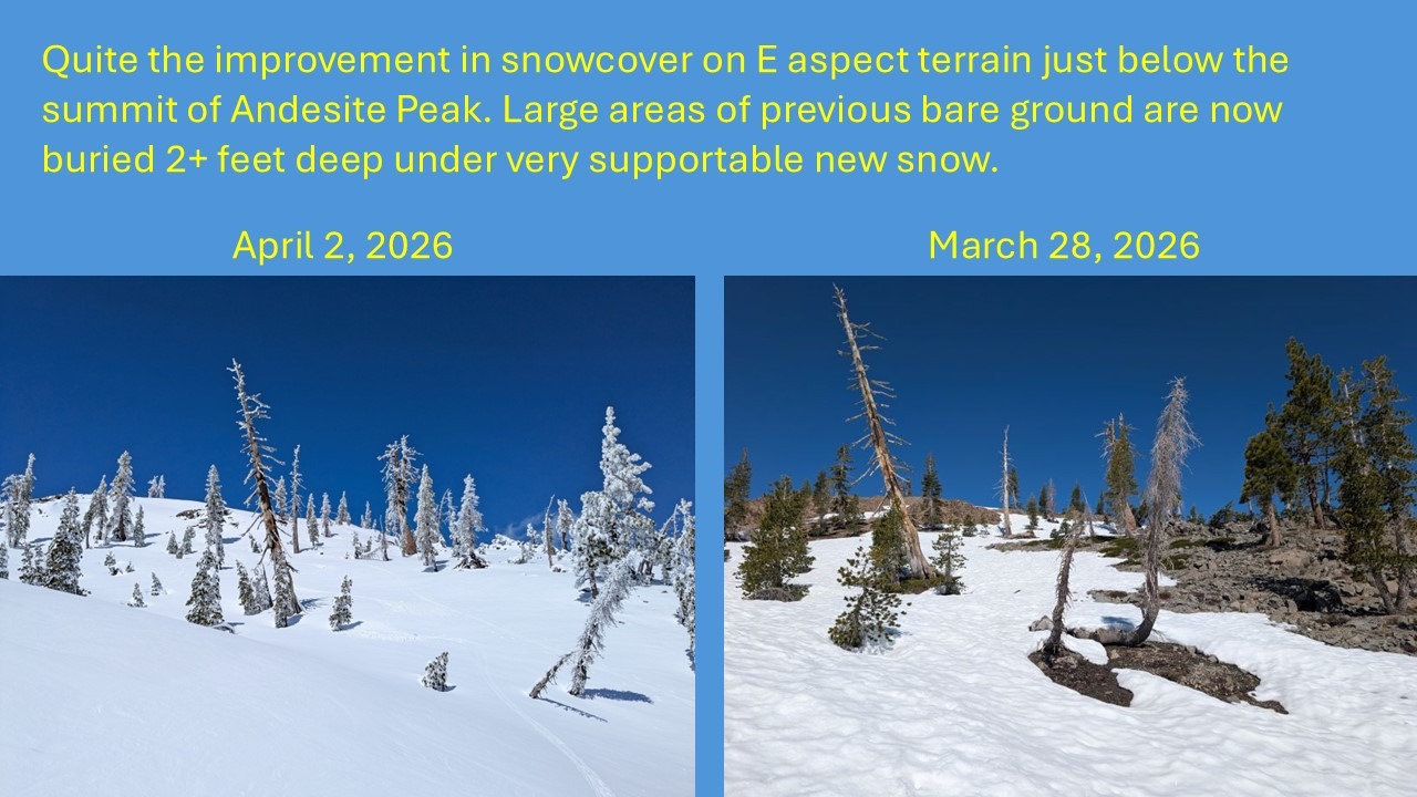
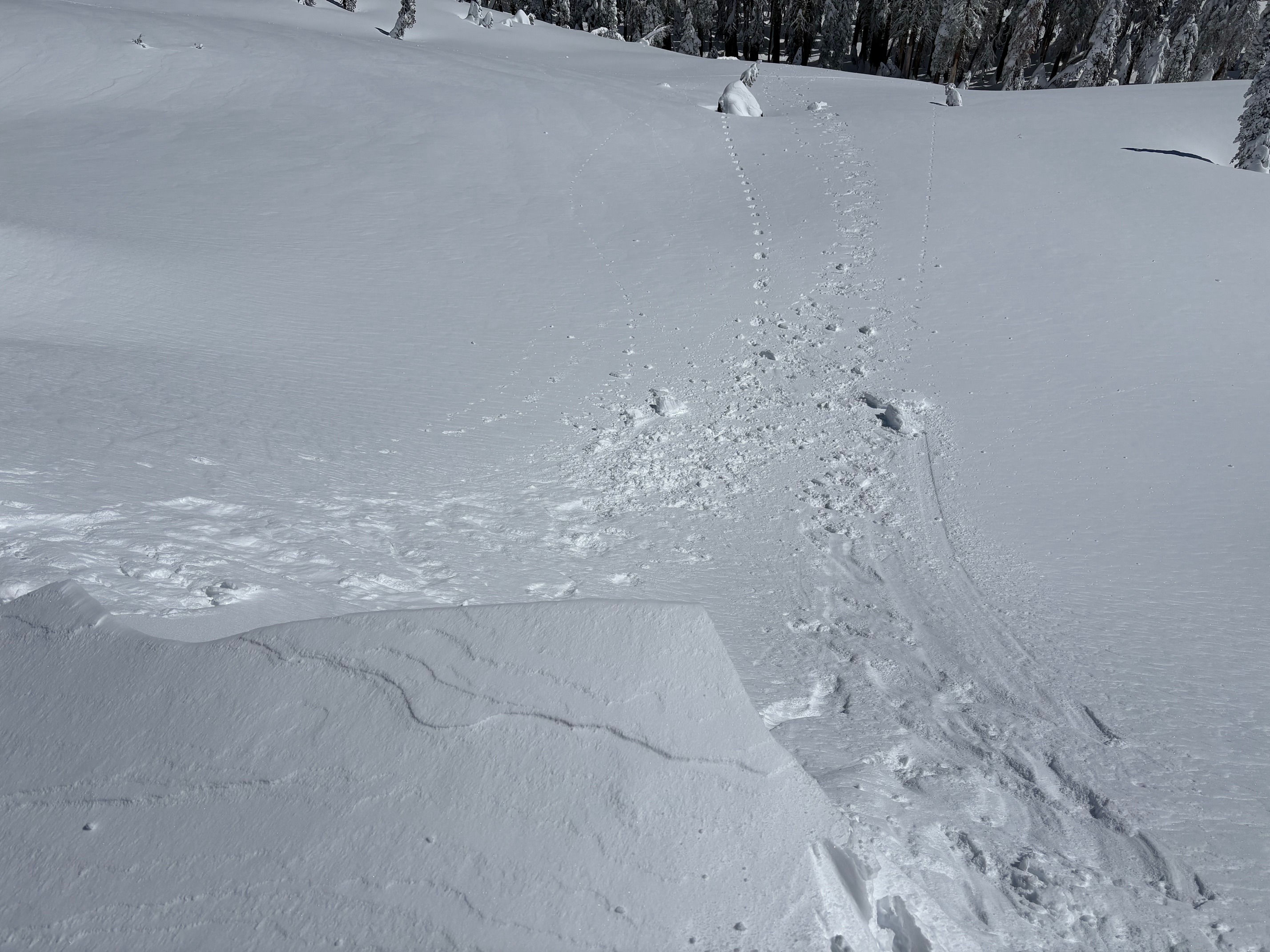
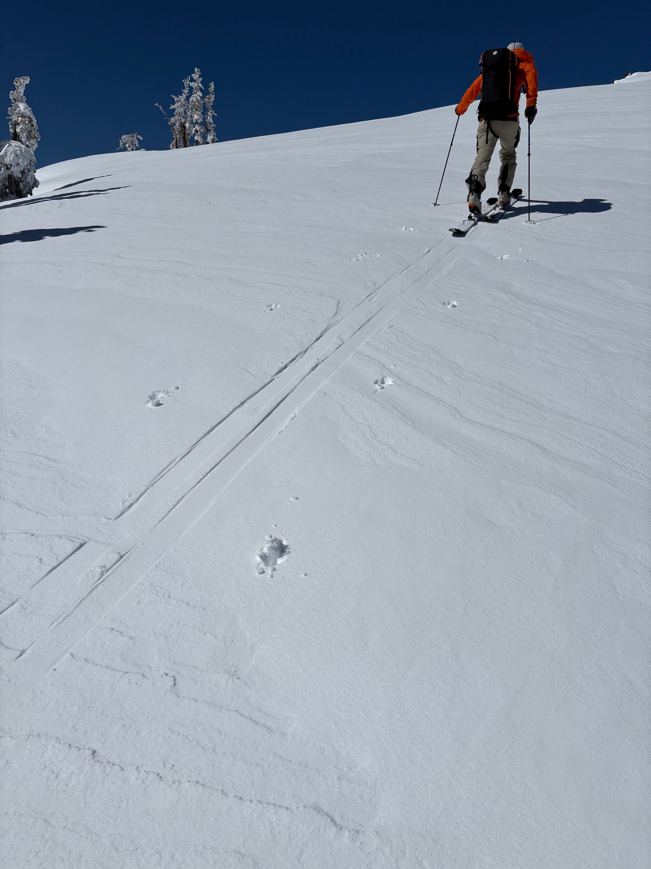
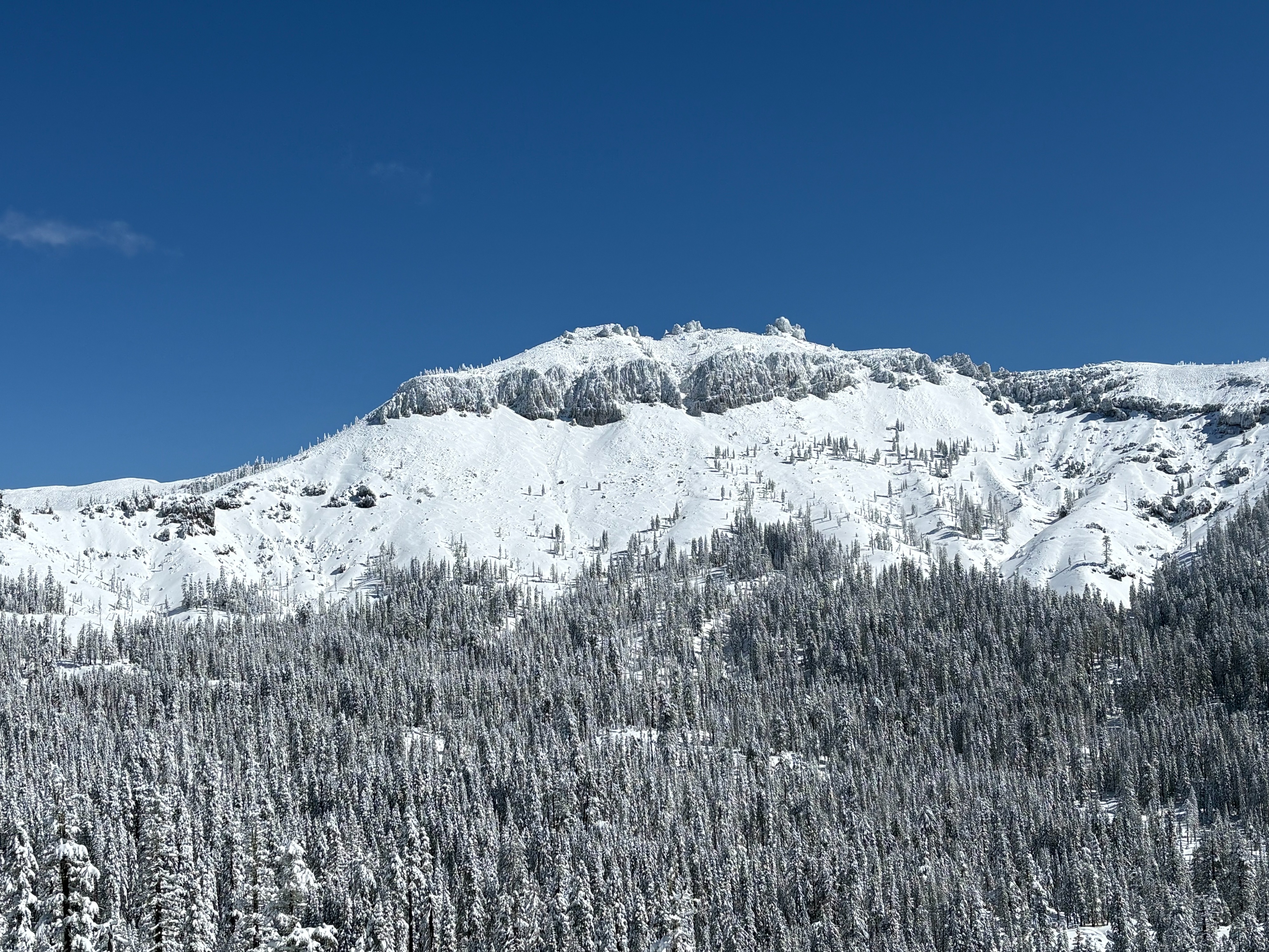
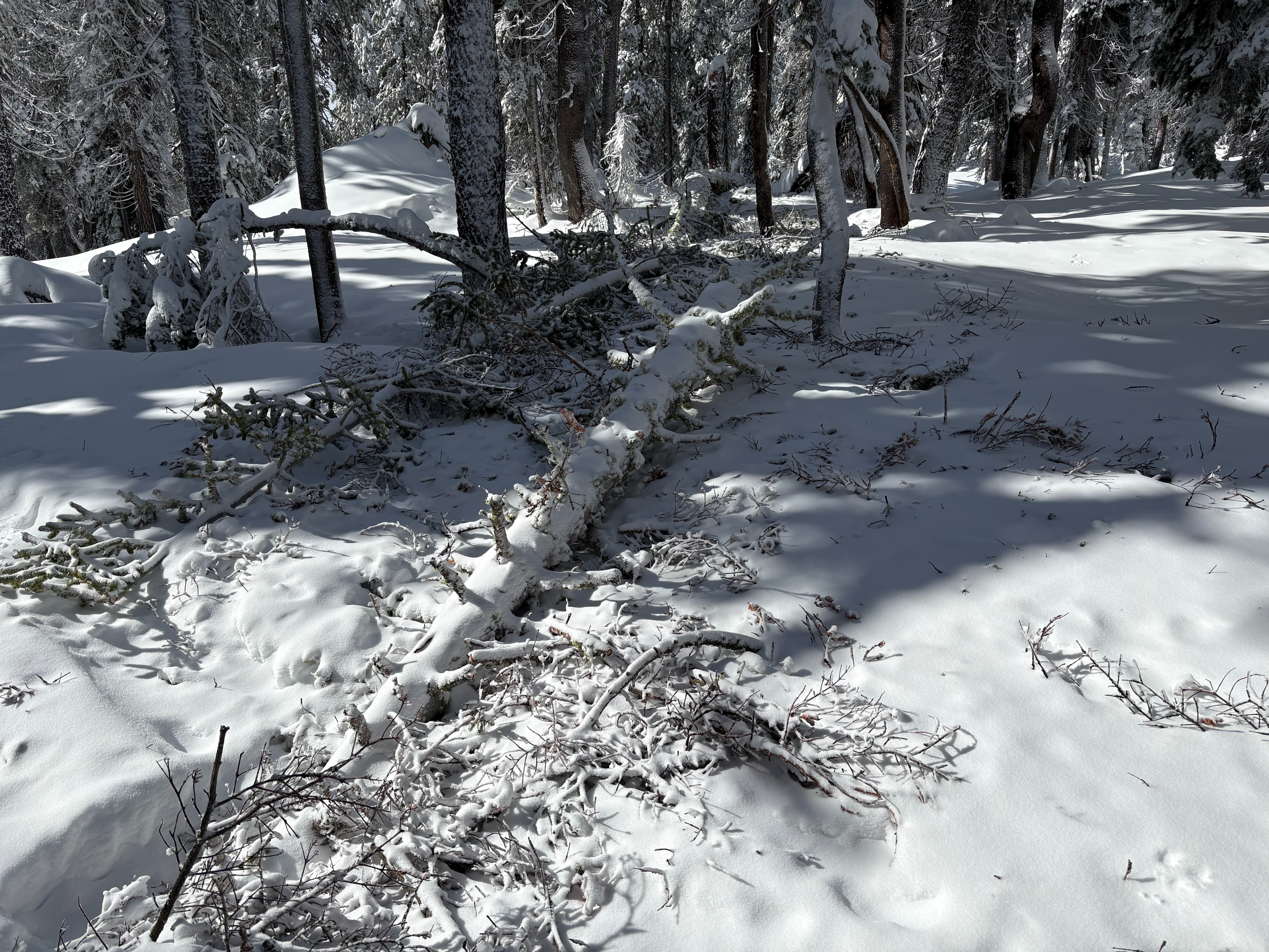
1.5 to 2 feet of total storm snow was found in the Andesite Peak area today. The storm snow was very dense and supportable, with minimal ski pen. Evidence of last nights gale force to extreme wind event was seen throughout this area with down trees along with branches and tree debris scattered over the snow surface. Small cornices were build out along ridges and were stubborn and hard to get to fail with ski kicks. We saw limited signs of instabilities on our tour today. Snowpack tests along with informal observations showed mostly well bonded storm snow that was right side up. Cool temperatures and wind delayed some wet snow development today. Tree drippings and tree bombs began occurring in the late morning in mostly wind protected areas below 8000'. Most snow surfaces except the most shaded had some wet surface snow form. Sun crusts are expected to form on these slopes where the snow surface has been wetted.
Weather
- Air Temp
- Above freezing
- Cloud Cover
- few
- Wind Loading
- moderate
- Rain Elevation
- 7000
- Recent Snowfall
- 35
- Snow Avail For Transport
- moderate amounts
Cloud cover started clearing out mid morning becoming mostly sunny with some scattered cloud cover. Up to 1.5 to 2 feet of storm snow was found throughout this area. SW winds decreased throughout the day becoming light by early afternoon.