
Quick report
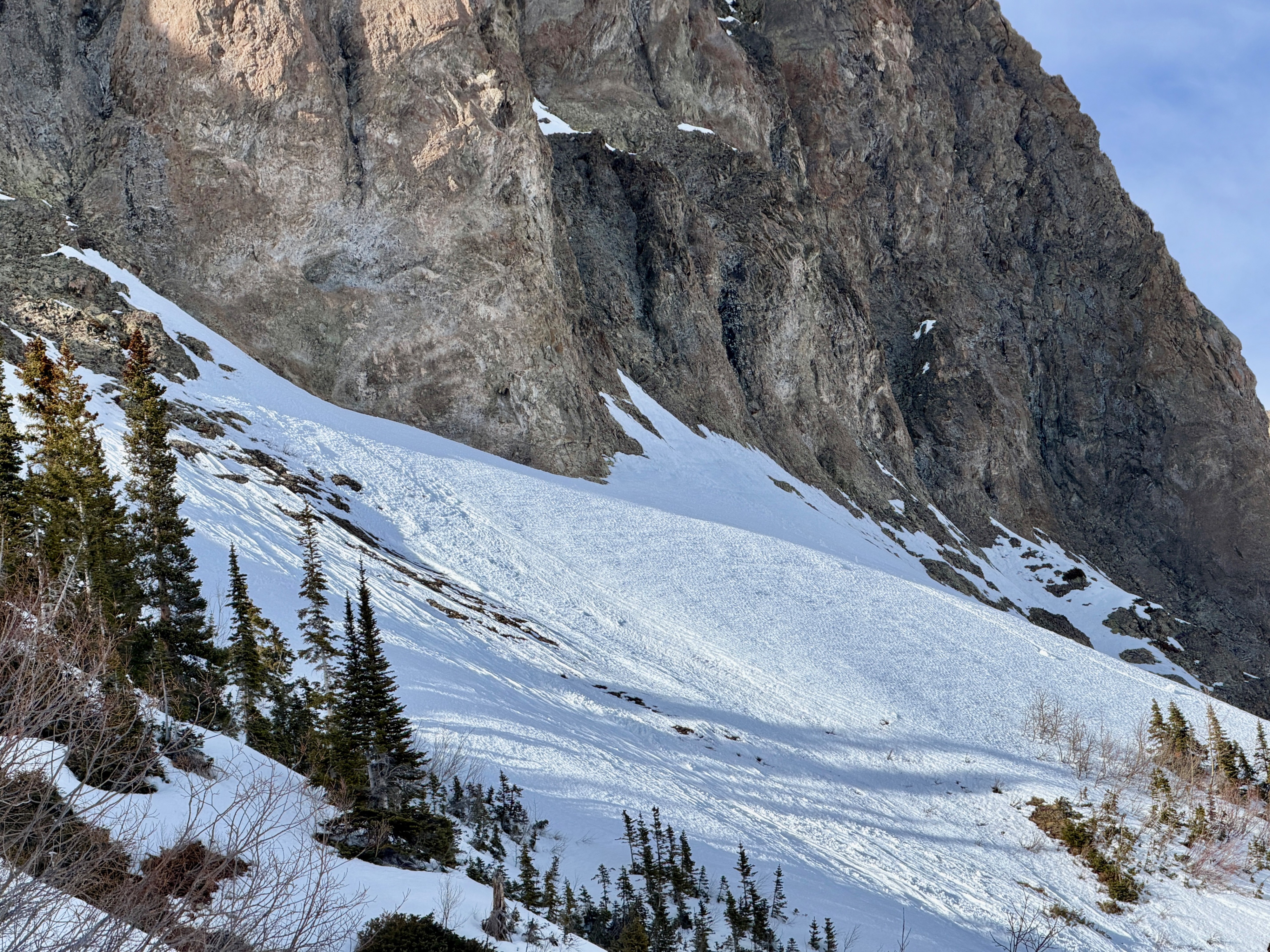
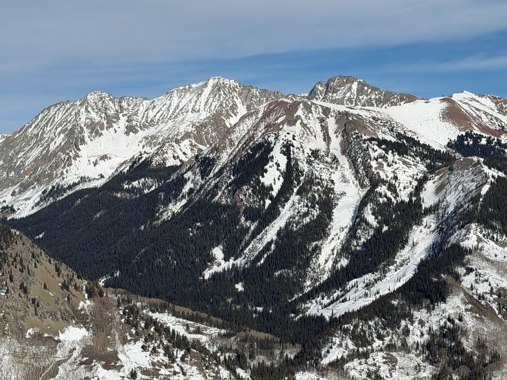
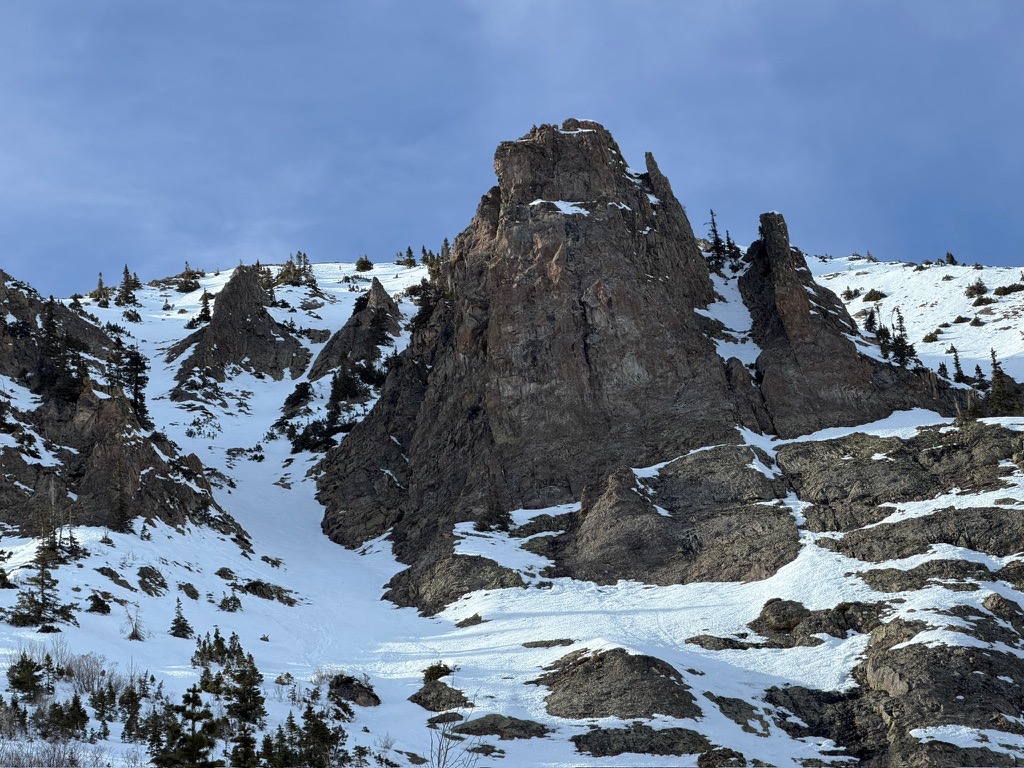
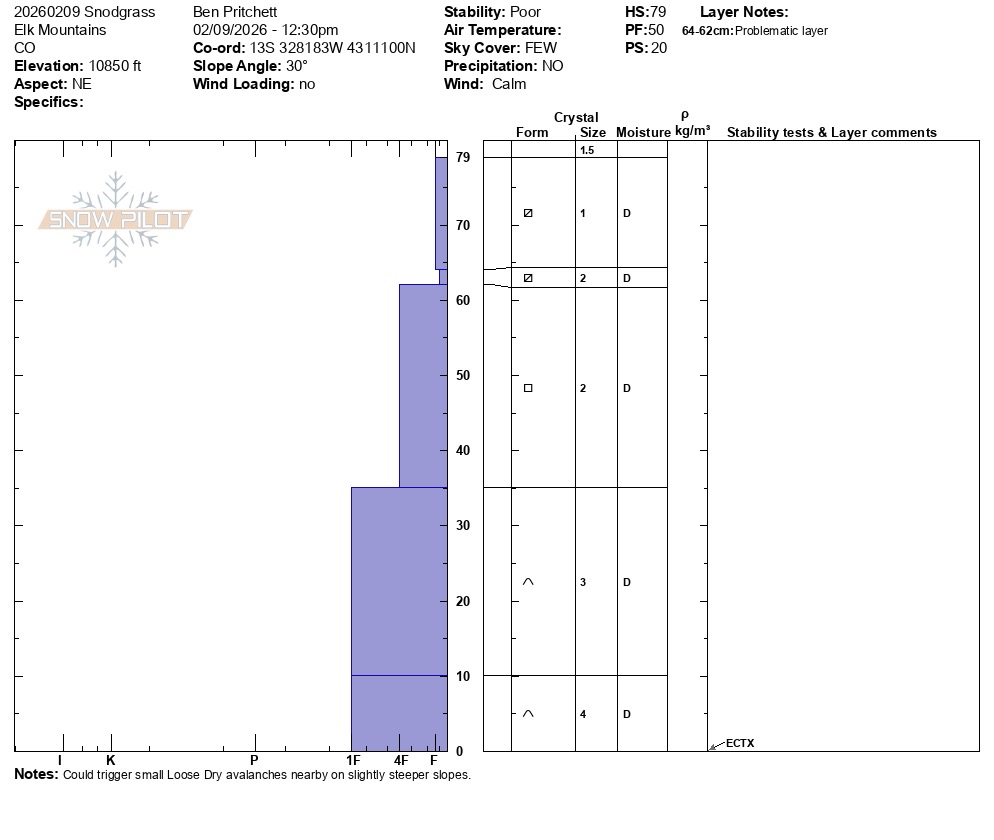
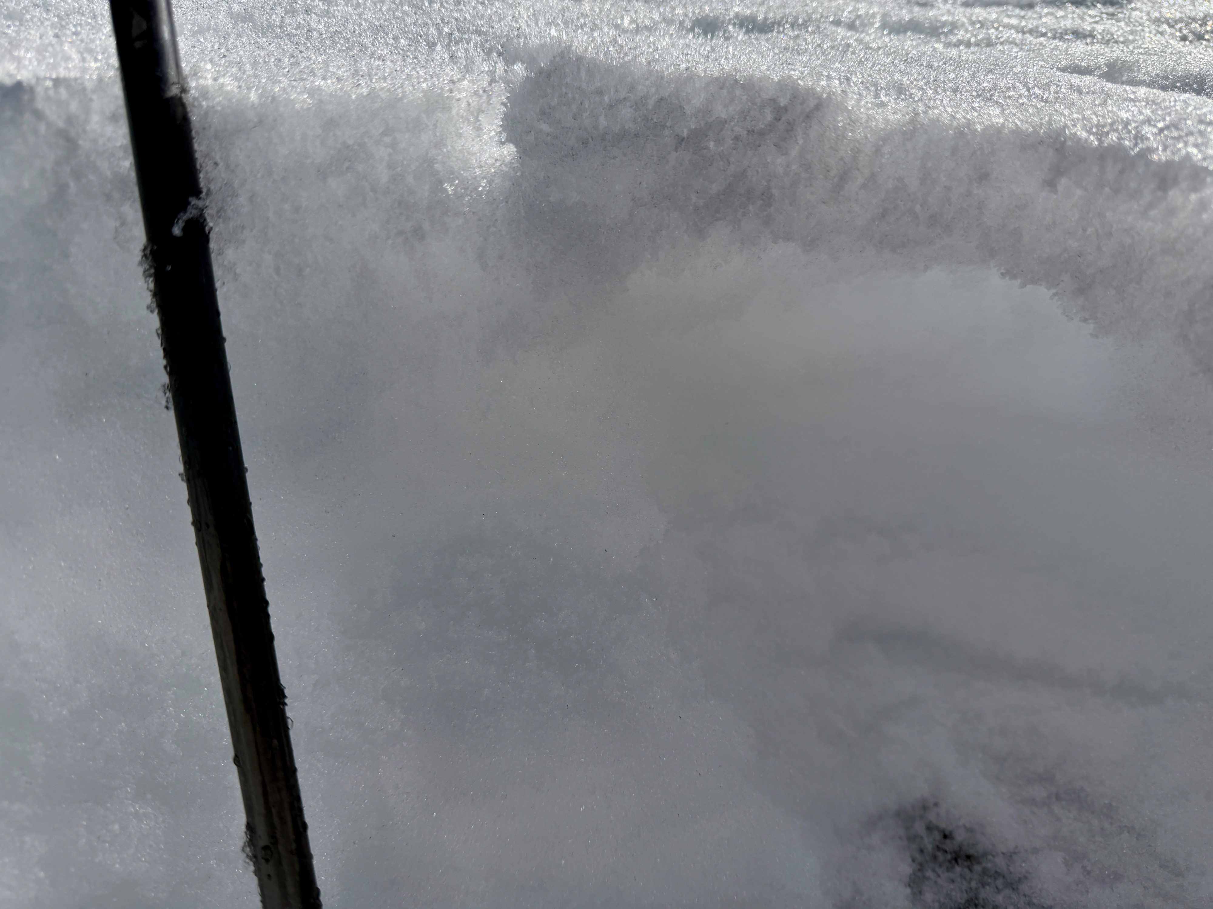
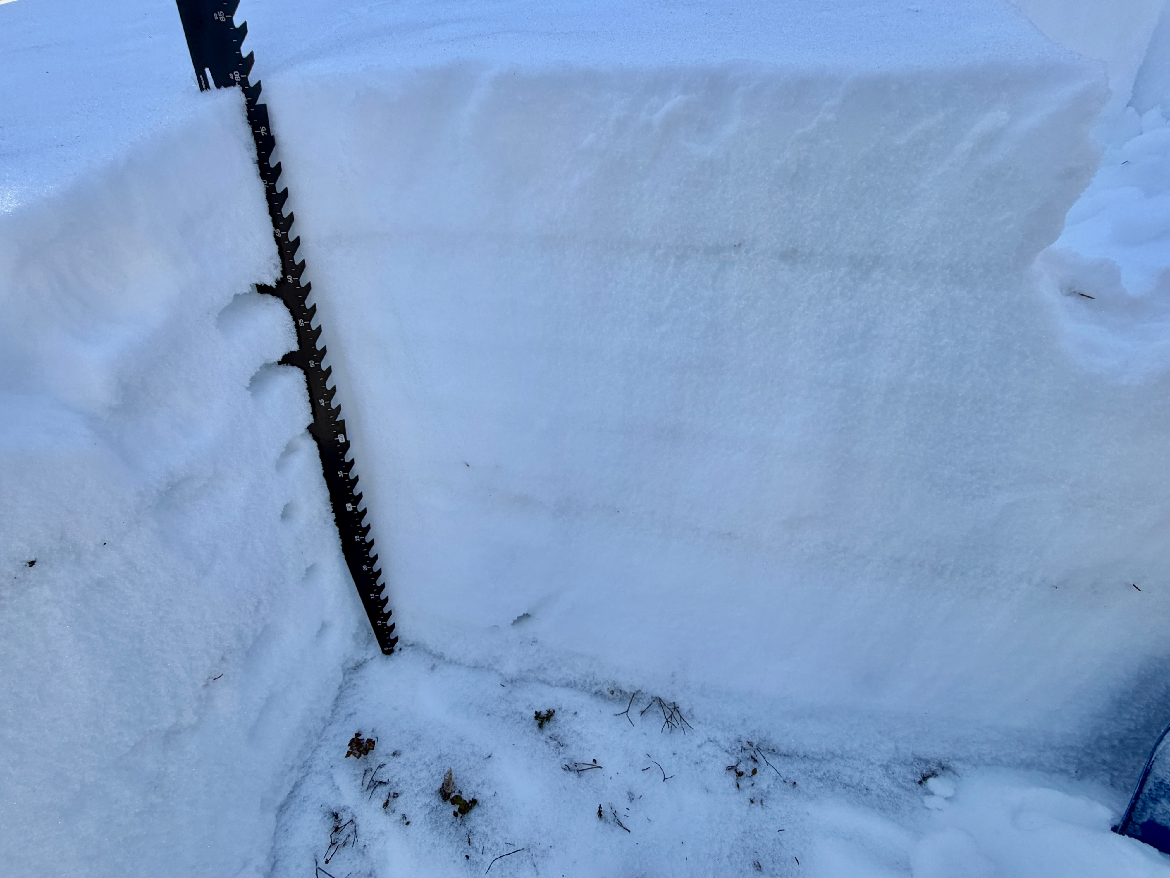
Northwest through north to east-facing slopes will see a rise in avalanche danger first as storm snow accumulates later this week. I found the weakest snow on these aspects. Southeast-facing slopes below the treeline are generally heavily crusted with water draining deeper into the snowpack. I found a southeast-facing slope around 11,000 feet that had much thinner crusts with facets below that will become a problem as loads grow, but not as quickly as the shadier slopes.
Weather
Warm, few clouds, no wind.
Snowpack
Steep south and southwest slopes below treeline are mostly melted out, or exceptionally thin and wetted throughout. Some of these slopes could make for firm bed surfaces, but pose no concern for avalanches breaking deeper.