
Weather
- Cloud Cover
- overcast
- Wind Loading
- light
- Recent Snowfall
- 4cm
- Snow Avail For Transport
- small smounts
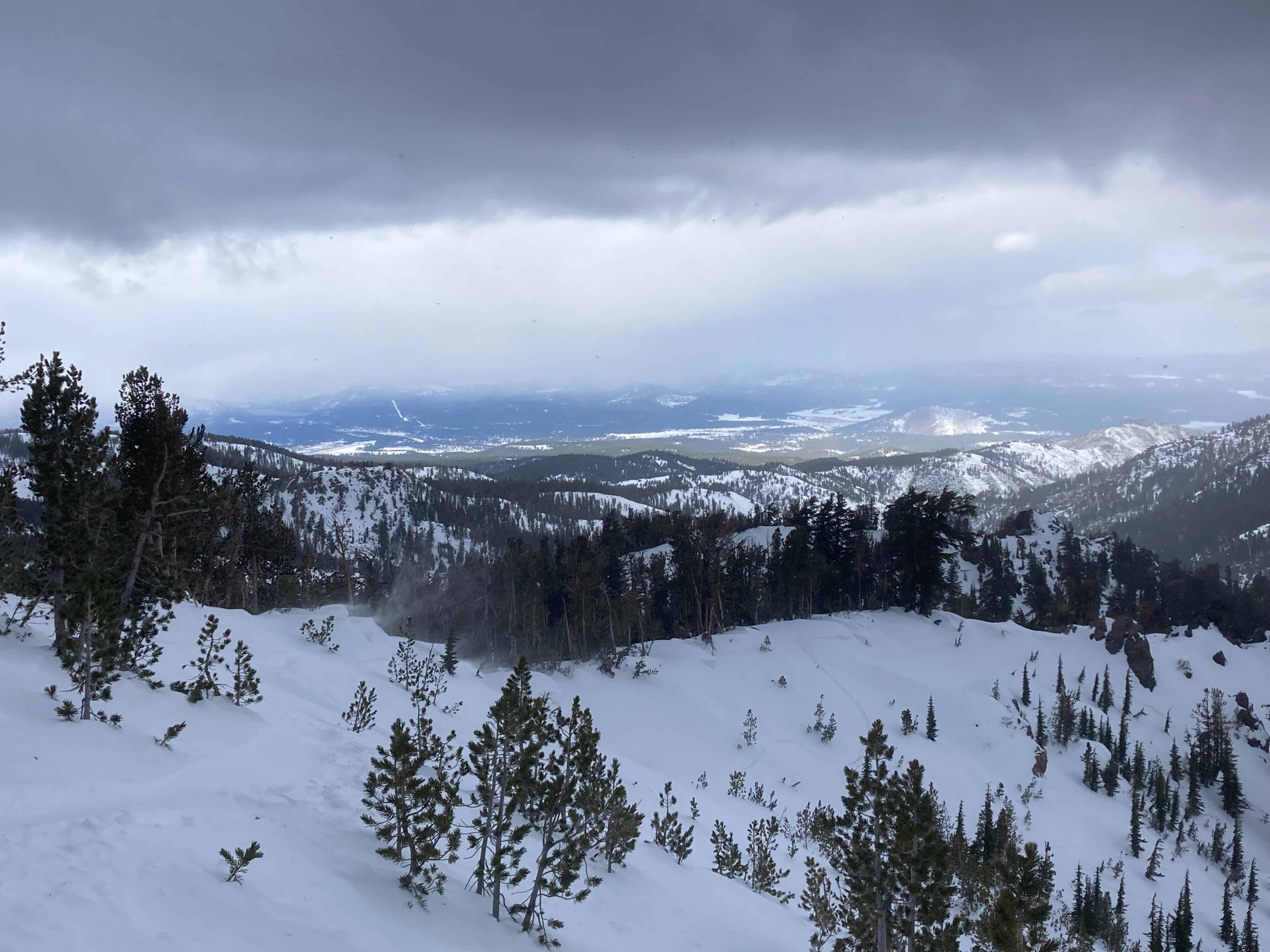
Sunny skies this morning changed quickly to full cloud cover with light snow showers. SW winds were strong to gale force on exposed ridgetops. Some covective bursts of S2 snowfall throughout the day with minimal accumulation.
Snowpack
We toured in the Incline Lake Peak area today. Minimal new snow accumulation occurred today with generally small amounts of snow available for wind transport. The snowpack is much deeper in this location than the last time we visited before last weekend's storm. Most locations have a snowpack depth of 3 to 4+ feet of snow. The basal facets and the Dec 12 pwl are easy to identify in a snowpit. These layers are unreactive at this point and will hopefully continue to gain additional strength in the near term. Snow surface conditions consist of soft unconsolidated snow with a variety of wind texture on northerly aspects. Southerly aspects had melt freeze conditions up to our high point of 9600'.