
Weather
- Air Temp
- 38
- Cloud Cover
- few
- Wind Loading
- none
- Rain Elevation
- somewhere above 9,000'
- Snow Avail For Transport
- none
Moderate speed W winds on the ridgetops.
Snowpack
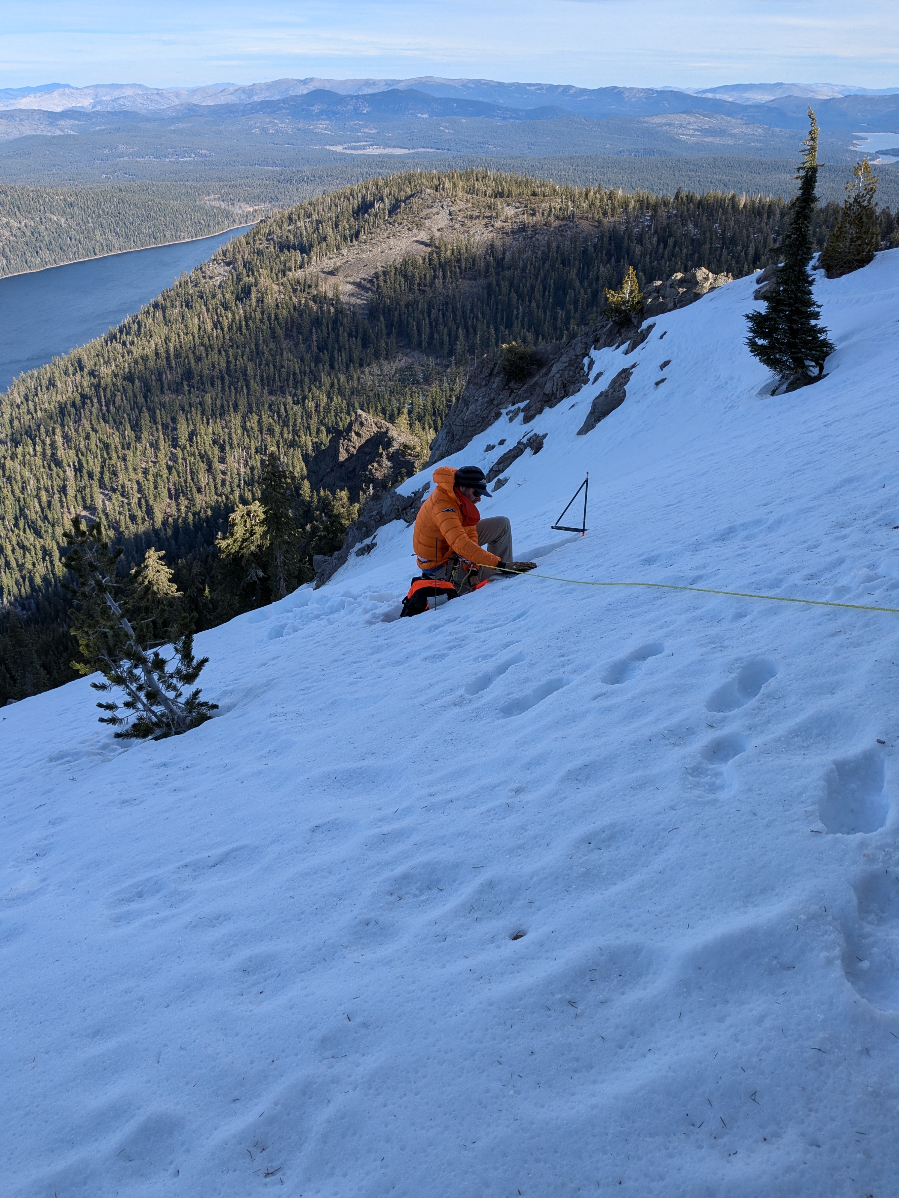
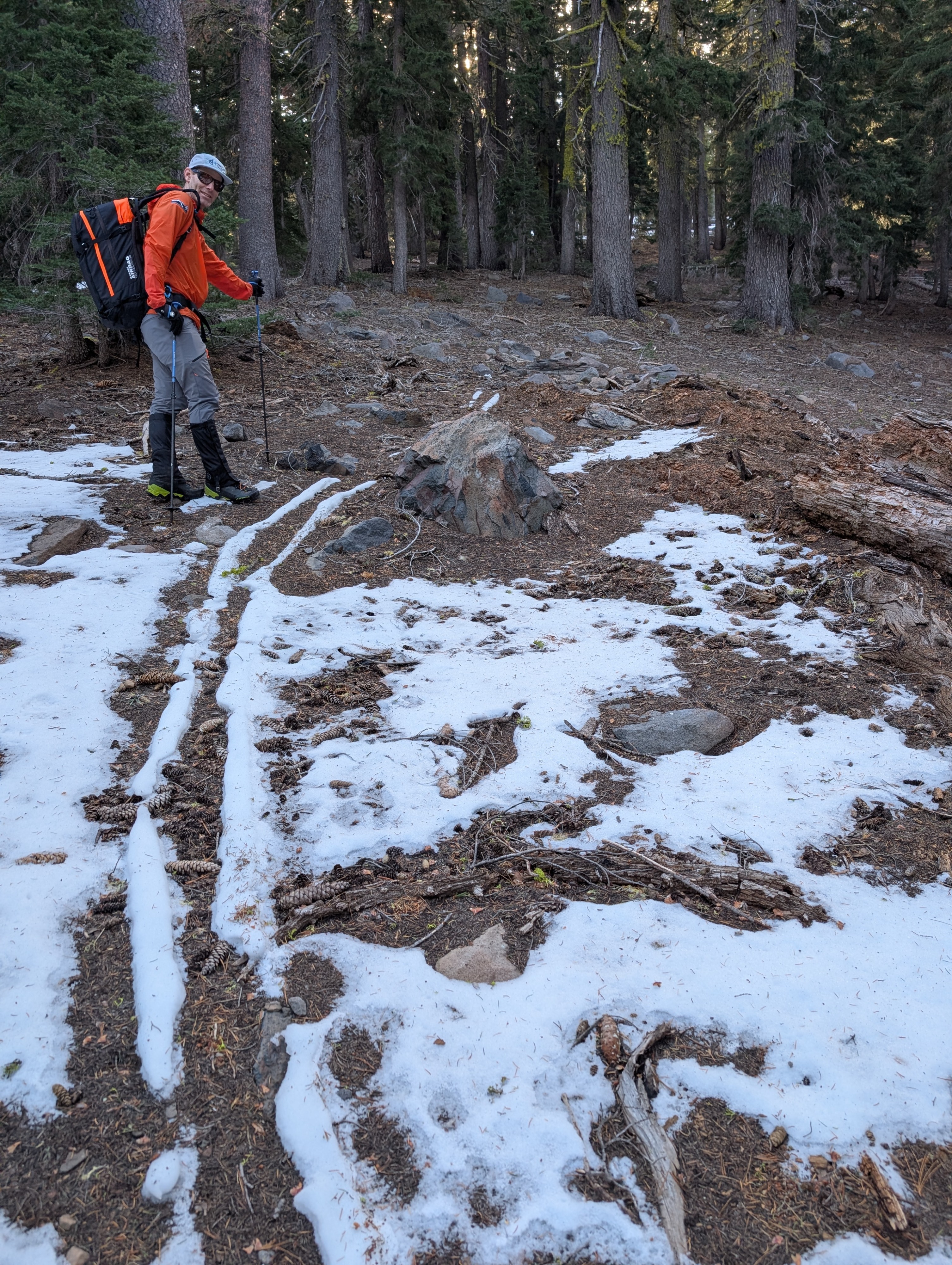
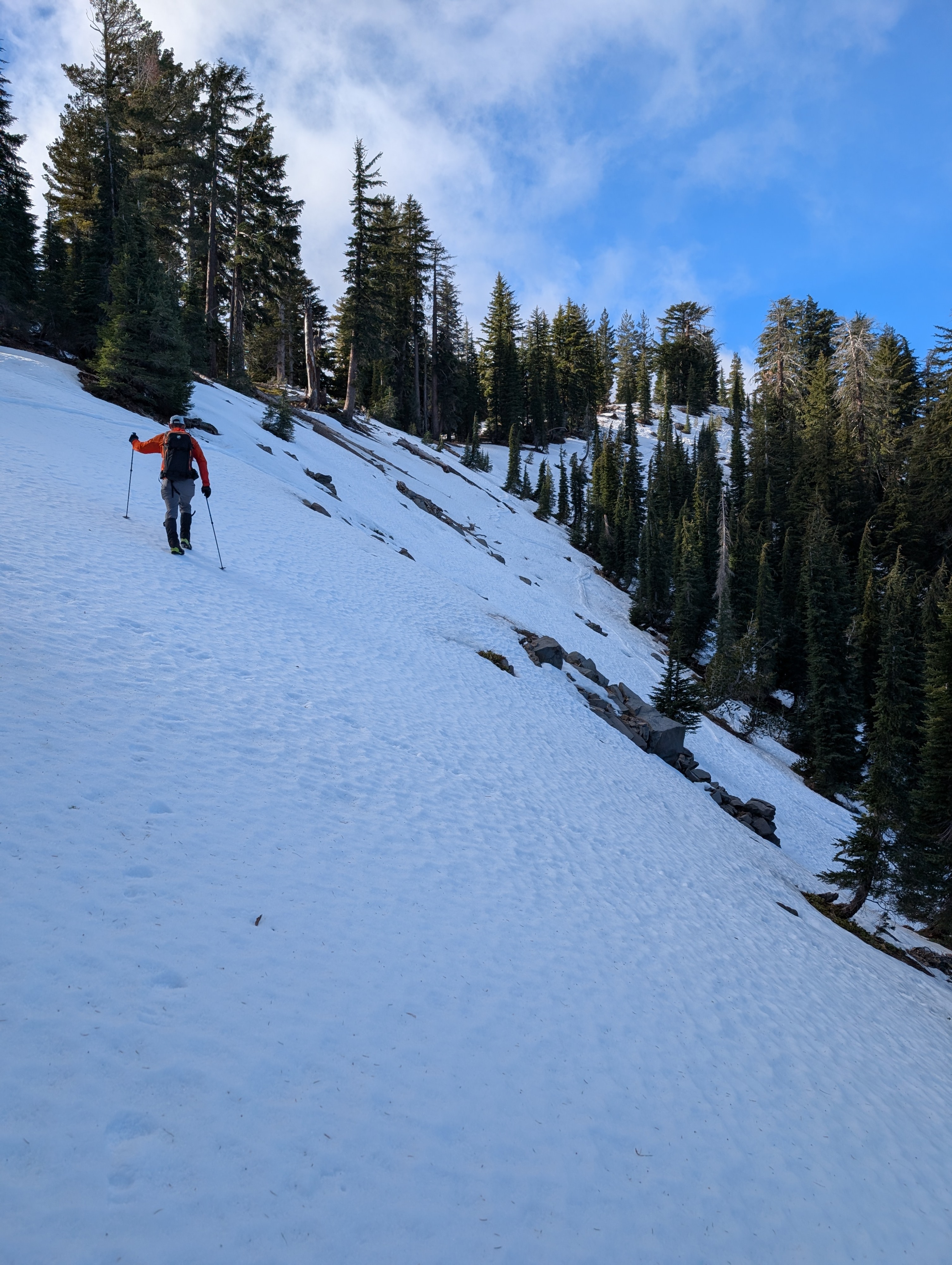
A significant loss of snow cover has occurred in this area over the past month. This was very noticeable up to around 8,700'. Above that, the loss of snow cover was less notable.
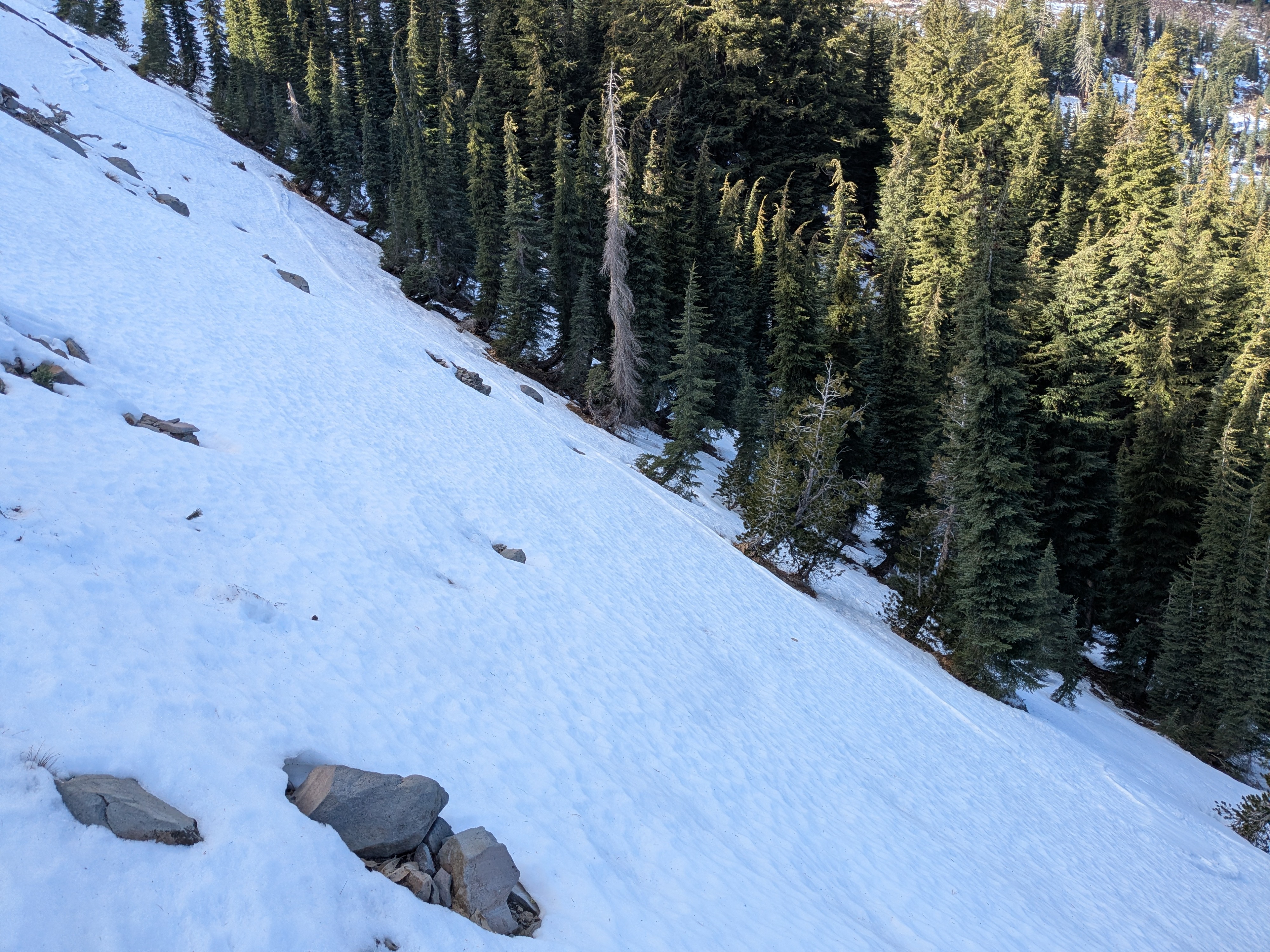
The rain event from Dec 16-17 deposited 1 inch of rain onto the snowpack in this area. This changed the snow crystal structure from weak faceted snow to a much stronger structure composed of rain crusts and rounded polycrystals. As in other portions of the forecast area, large sections of continuous snow cover are limited to northerly aspects above about 8,000'.
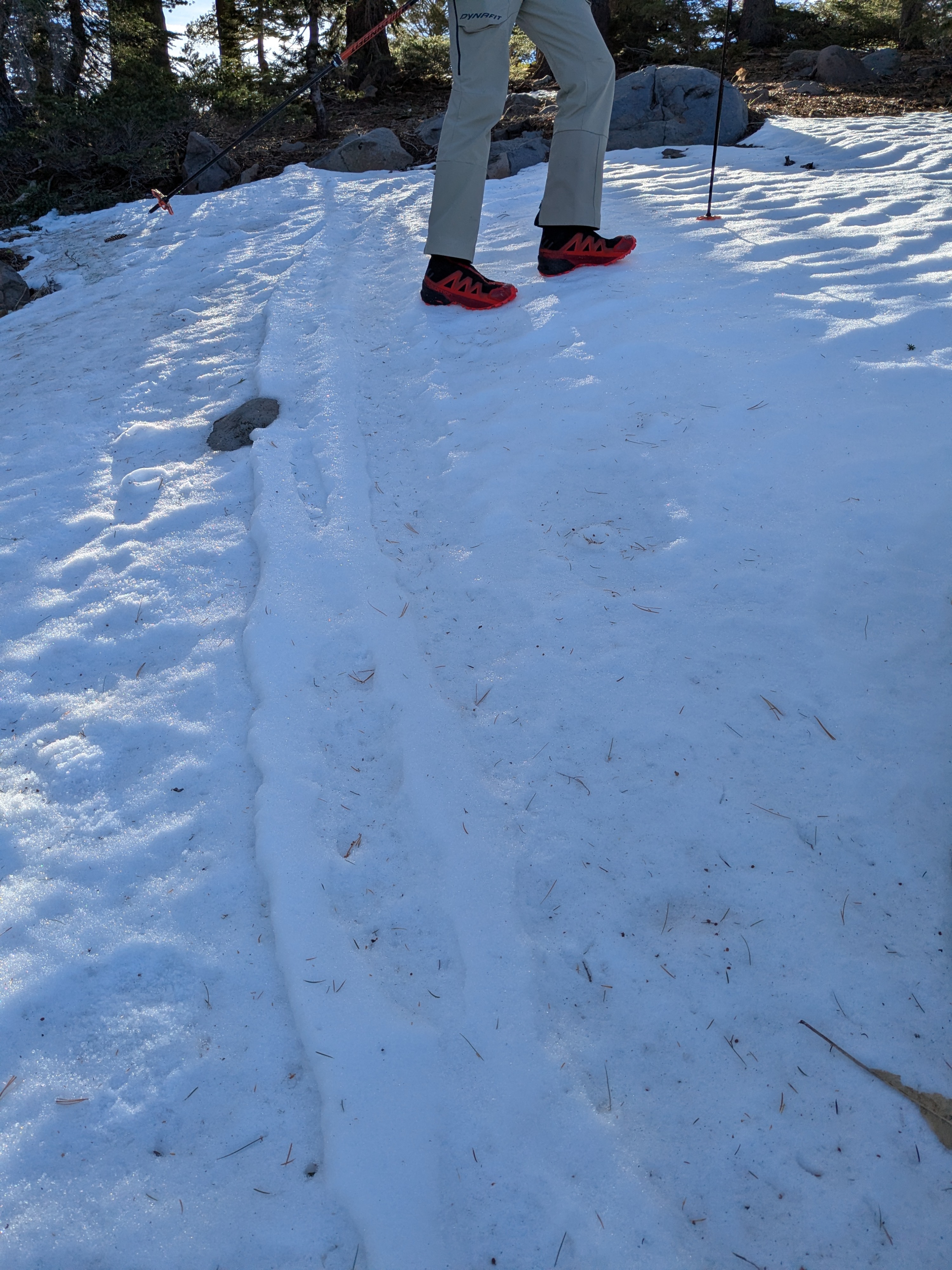
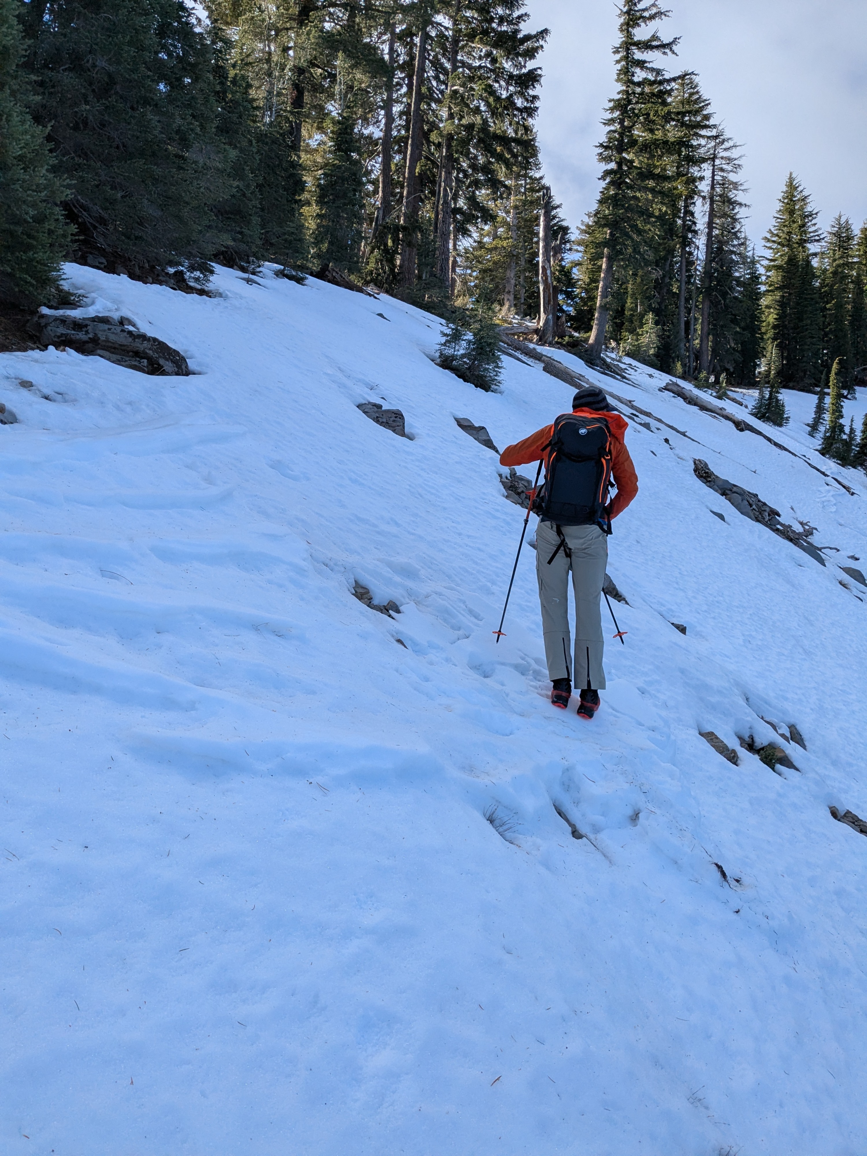
Even though air temperatures remained above freezing in this area last night, the clear skies and long nighttime hours allowed the snowpack to refreeze at the snow surface and to drain any residual free water post rain event.
A long sliding fall hazard now exists due to the frozen rain crust on the snow surface.