
Weather
- Cloud Cover
- few
- Wind Loading
- none
- Recent Snowfall
- 0
- Snow Avail For Transport
- none
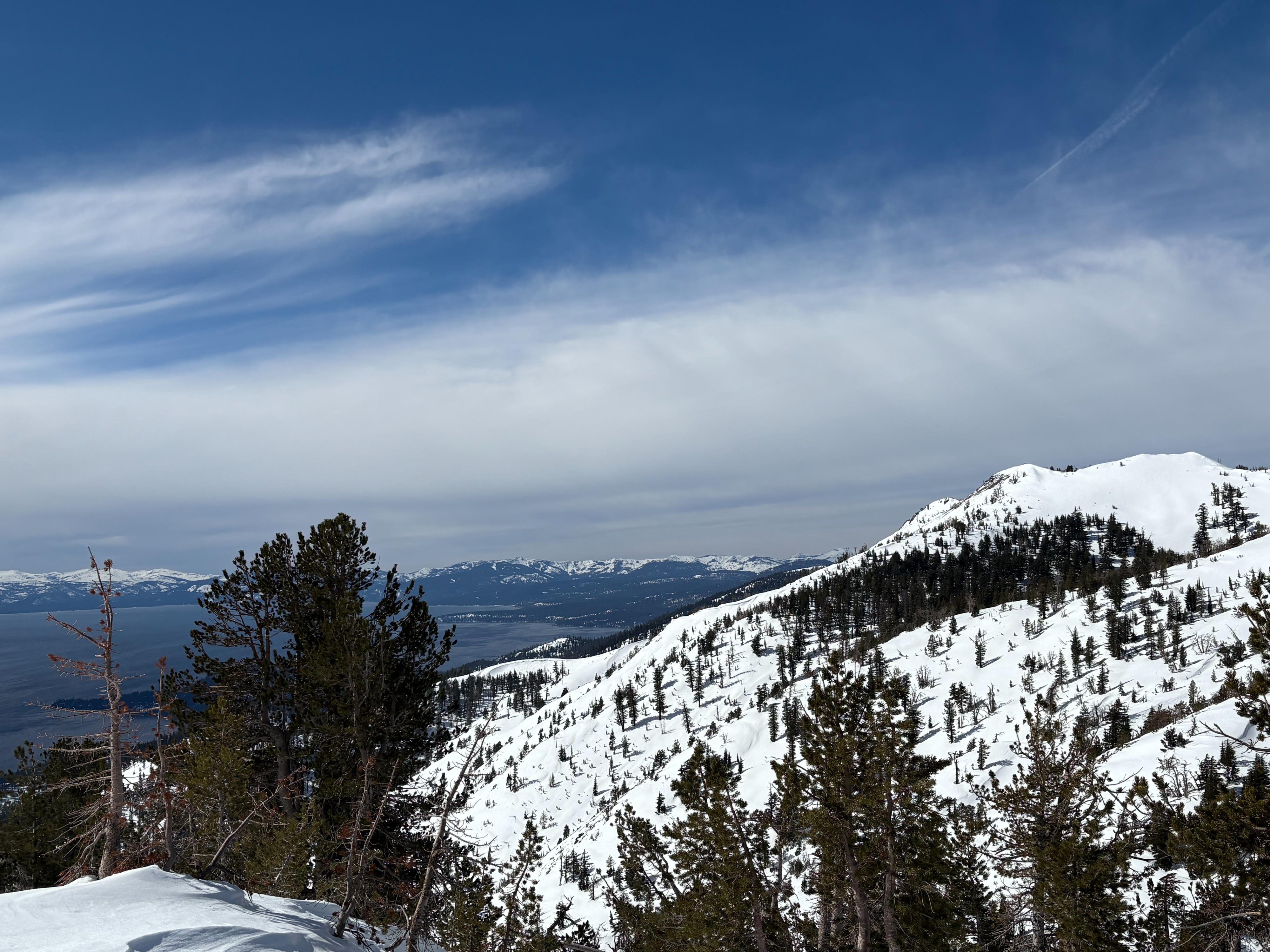
Mostly sunny with high thin clouds moving into the area throughout the day. Mild temperatures with strong SW winds along exposed ridges and peaks.
Snowpack
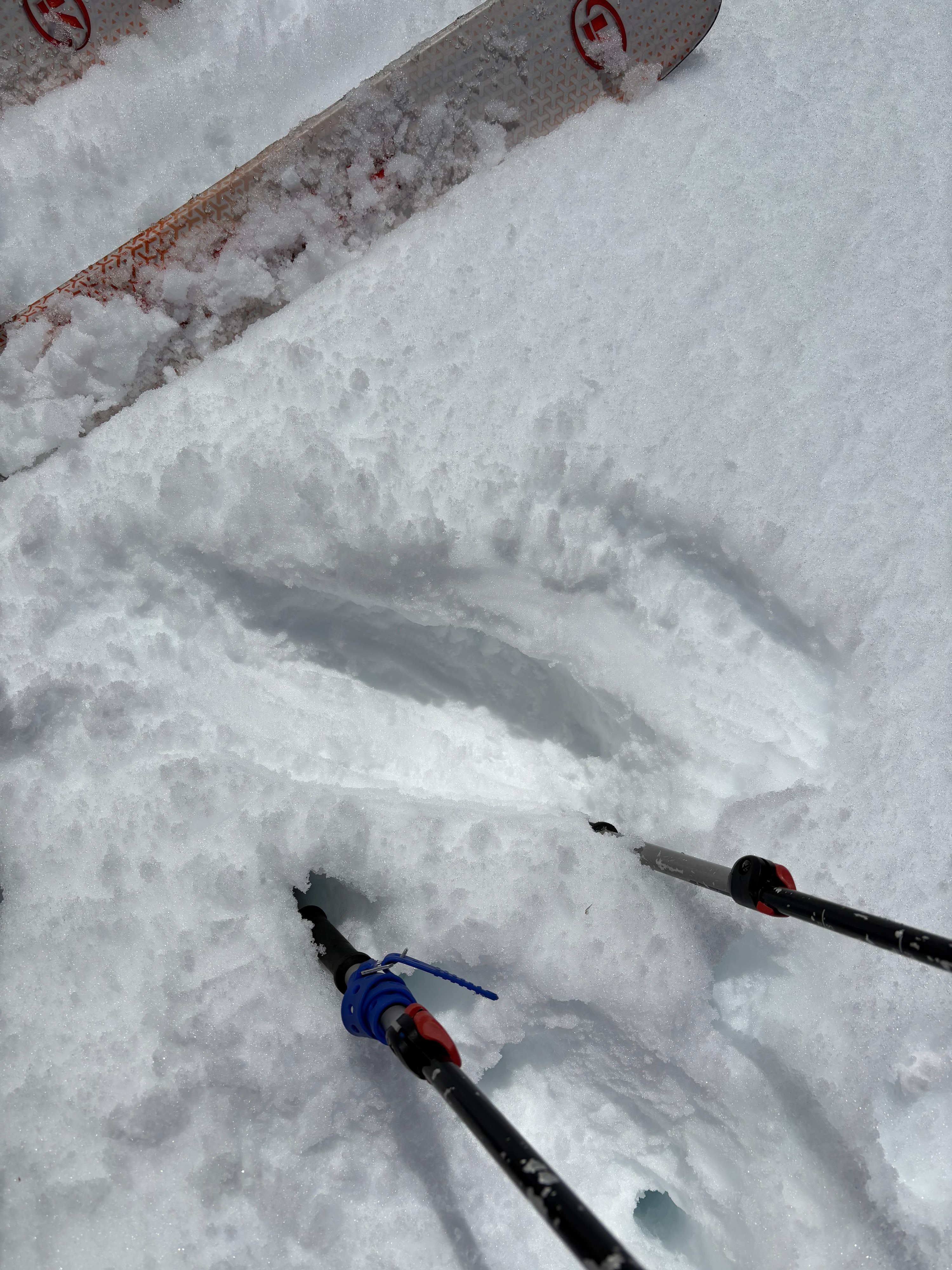
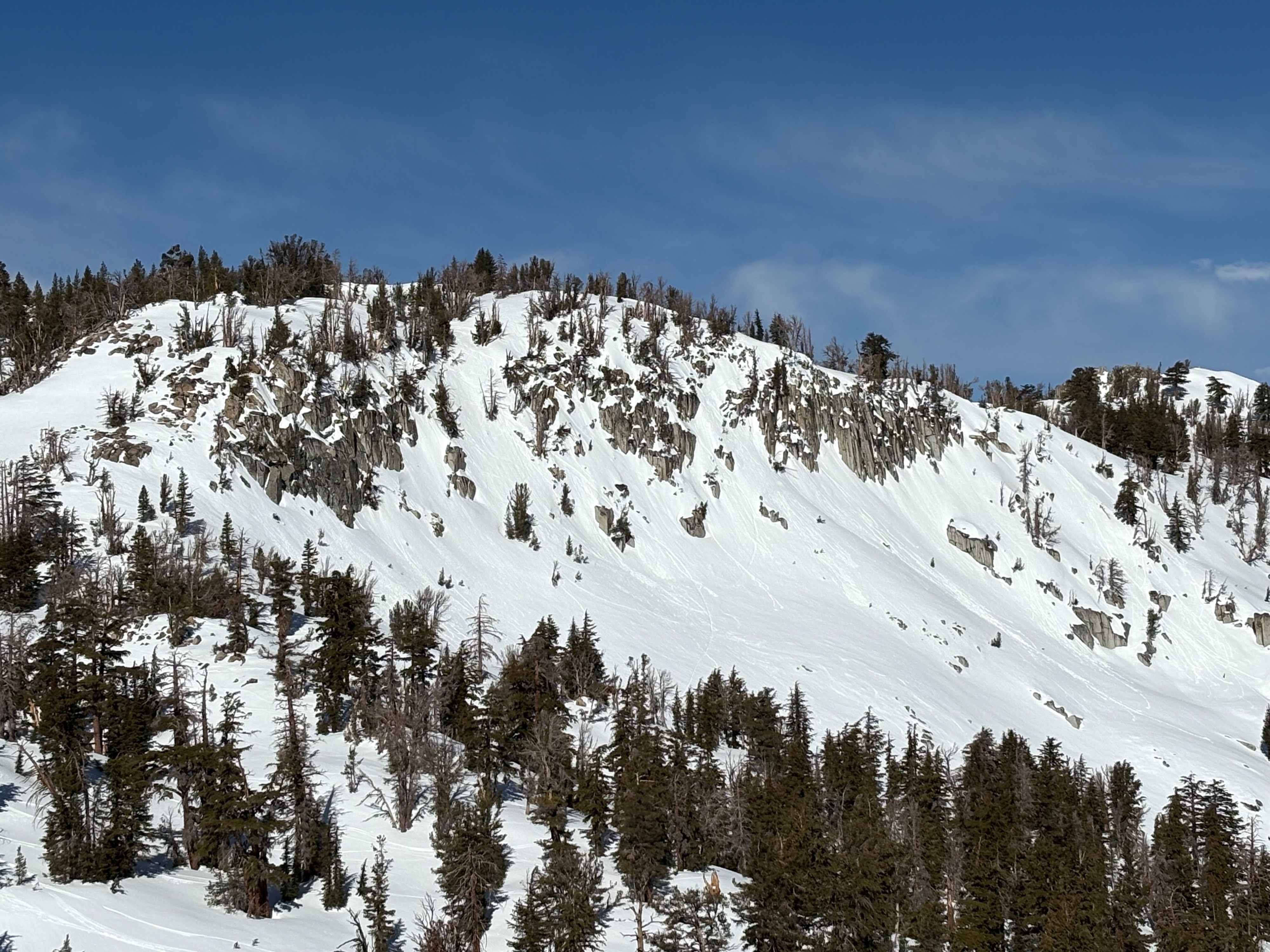
We went to the Incline Lake Peak area to monitor daytime warming and wet snow development on southerly aspects. A variety of snow surfaces exist out there, from wind board, wet snow, crud, firm snow crusts, and few areas of colder, more unconsolidated snow. The strong SW winds were keeping snow near the ridgetops firm, once below those areas soft wet snow existed on SE-S aspects. 2-3 inches of wet snow existed on top of colder snow that has not started to transition yet. The snow became deeper as we descended to lower elevations, but had a combo of limited wet surface snow with colder snow underneath. We experienced small roller balls in steeper terrain, but not enough wet snow to create any wet loose avalanches. Cloud cover looked to limit solar radiation along parts of the Sierra Crest, but was more limited in the Mt. Rose area.