
Quick report
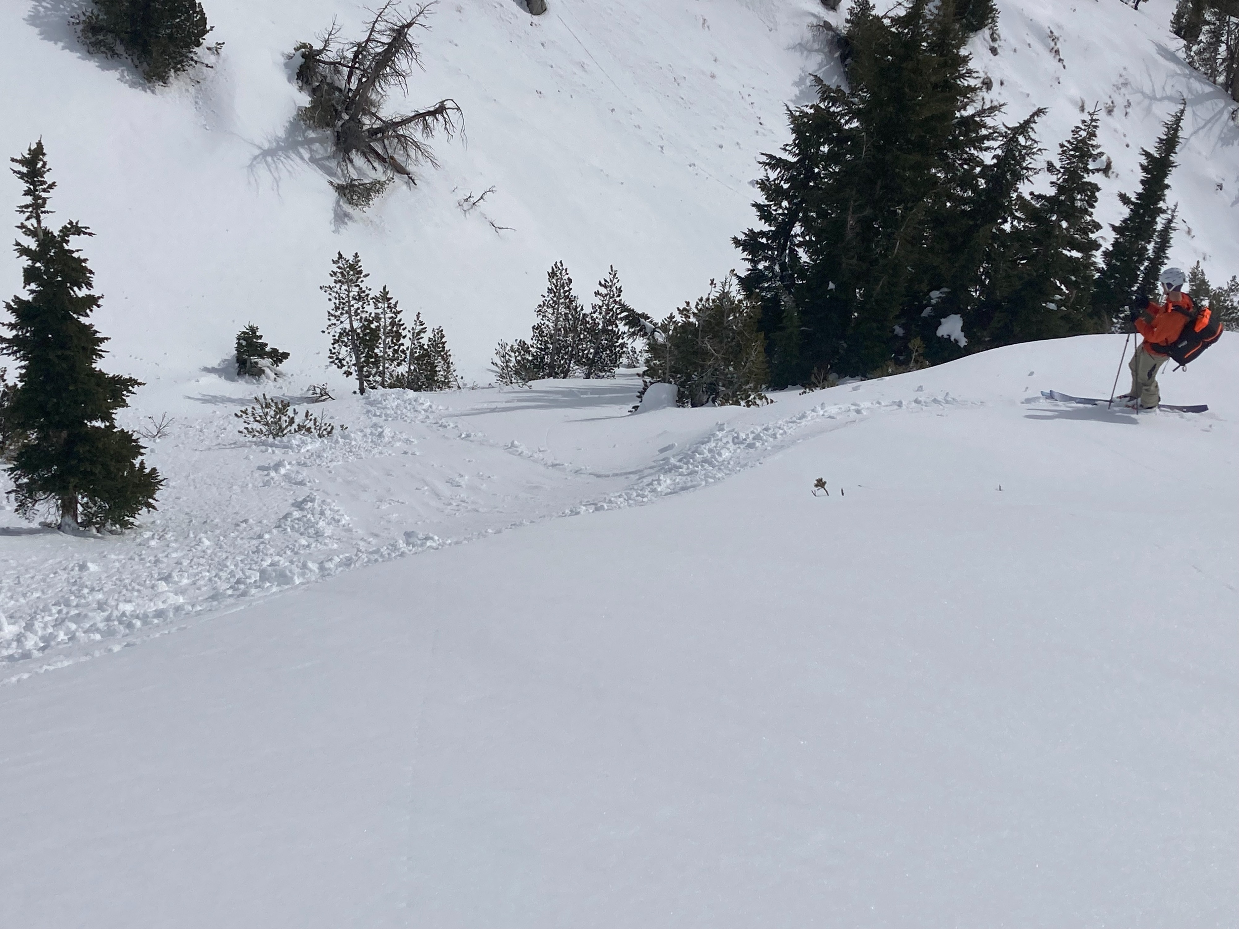
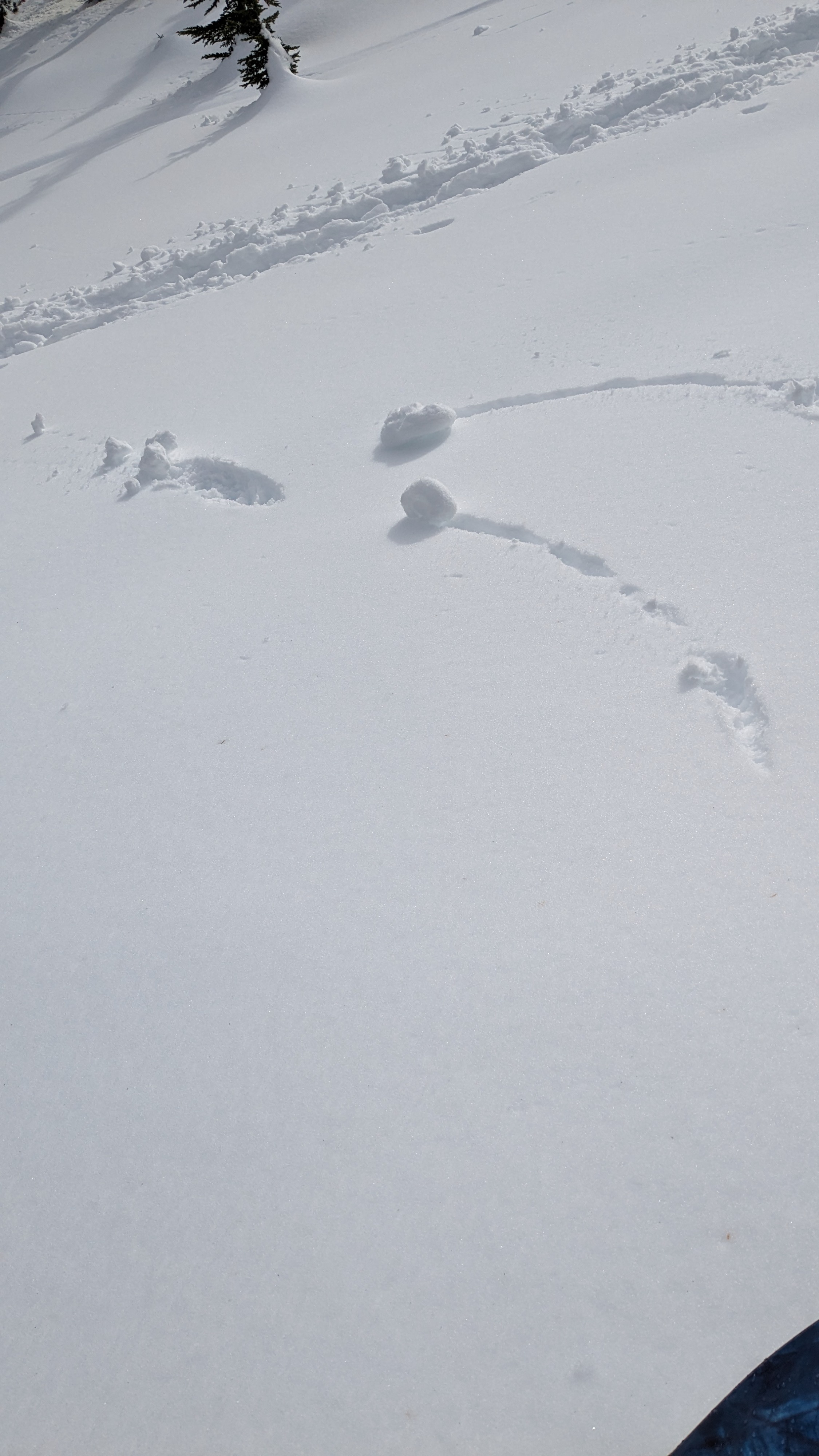
We toured Castle Crag and Incline Peak this morning and had the chance to travel on all aspects. Surface wet snow across E-S-W aspect terrain was sufficient for some small wet loose (D1 ) avalanches to form from intentional ski cuts on sun exposed slopes by 11 am. We were ultimately able to trigger small loose wet avalanches on E-SE-S aspects in the 8,400' to 9,500' elevation range by noon. None of these small avalanches involved more than the top two inches of the snowpack, but once triggered they would run the length of any continuous sections of slope steeper than about 35 degrees. NW-N-NE aspects did not seem to have problematic abouts of surface wet snow on them in this area. It seemed to take the combination of recent multi-day wetting of the upper snowpack along with solar input.
We intentionally triggered some very small wet loose that would technically qualify as D1 avalanches but were effectively small sluffs.Weather
- Air Temp
- 43
- Cloud Cover
- broken
- Wind Loading
- none
- Recent Snowfall
- 0
- Snow Avail For Transport
- none
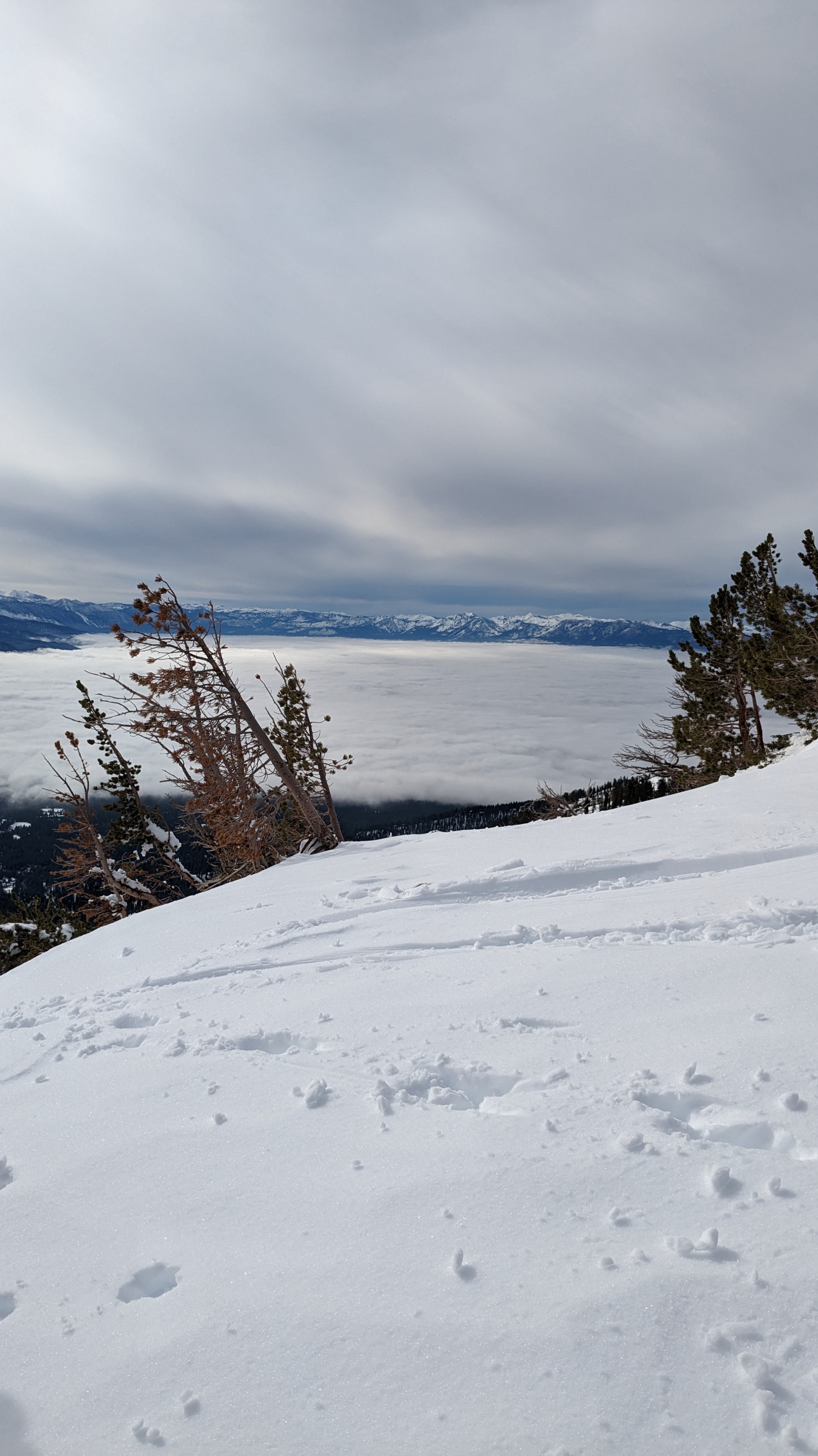
High level cloud cover with enough incoming solar radiation to melt the surface on E-S-W aspects.
Snowpack
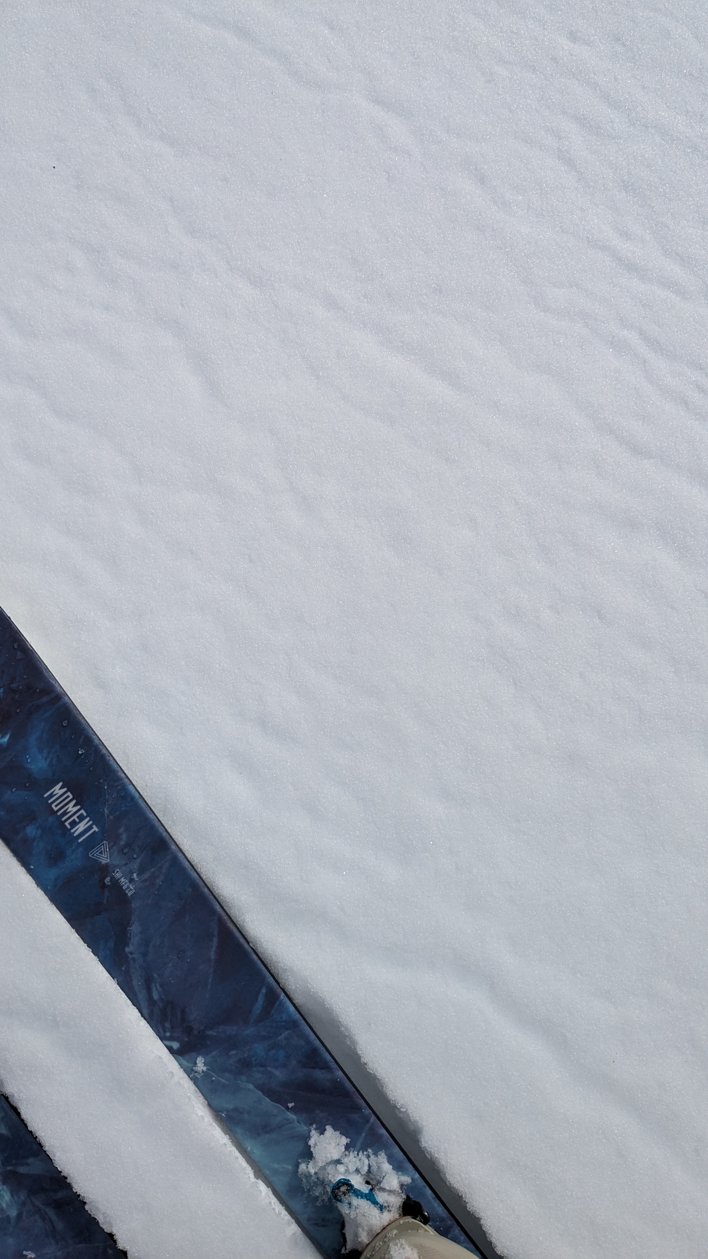
Surface wet snow and melt freeze conditions were observed on all aspect today. We saw surface wet snow across E-S-W aspects up to our highpoint of travel at 9,700'. NW-N-NE aspects had some previous surface melt below about 9,100' but was absent above about 9,600' or so.