
Quick report
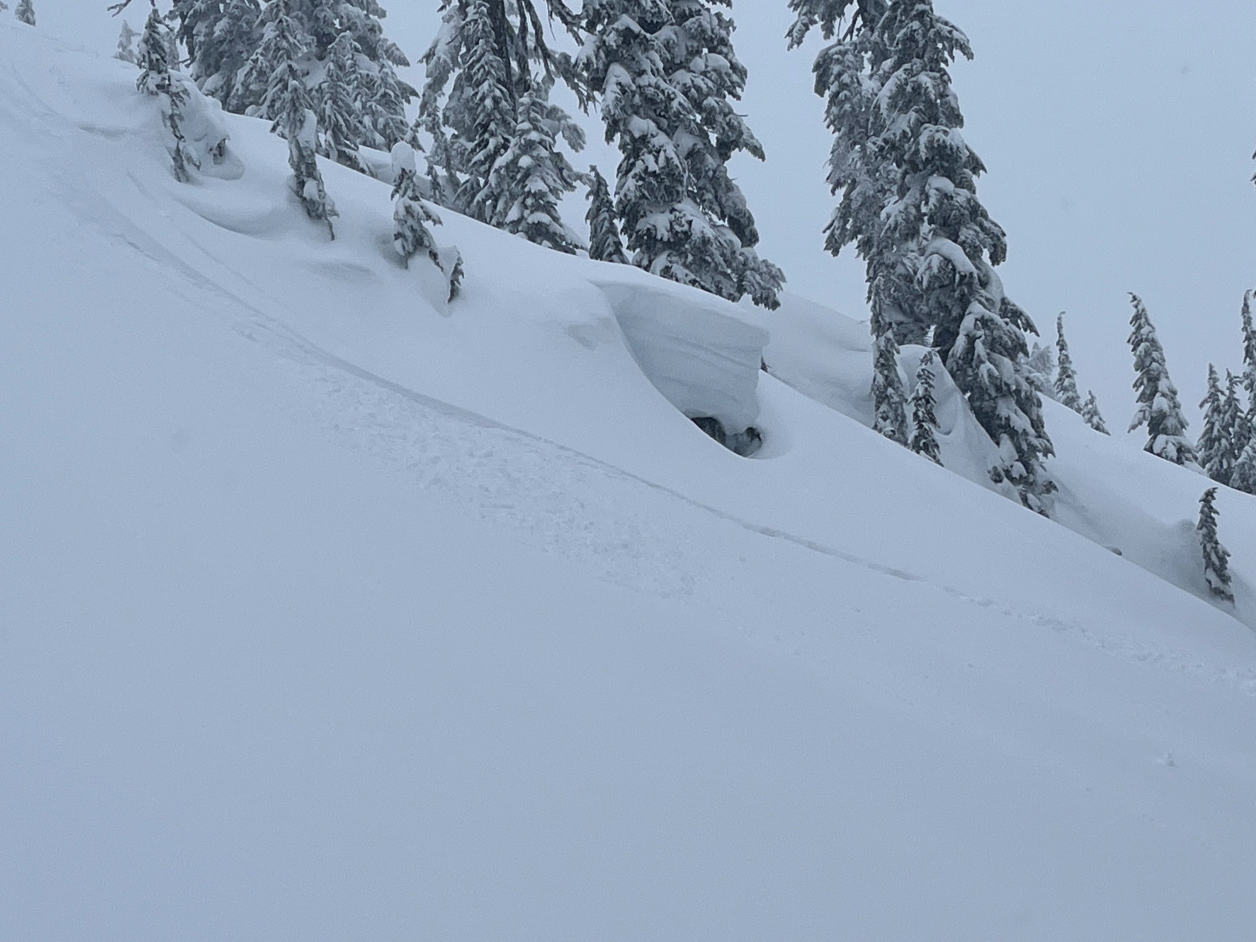
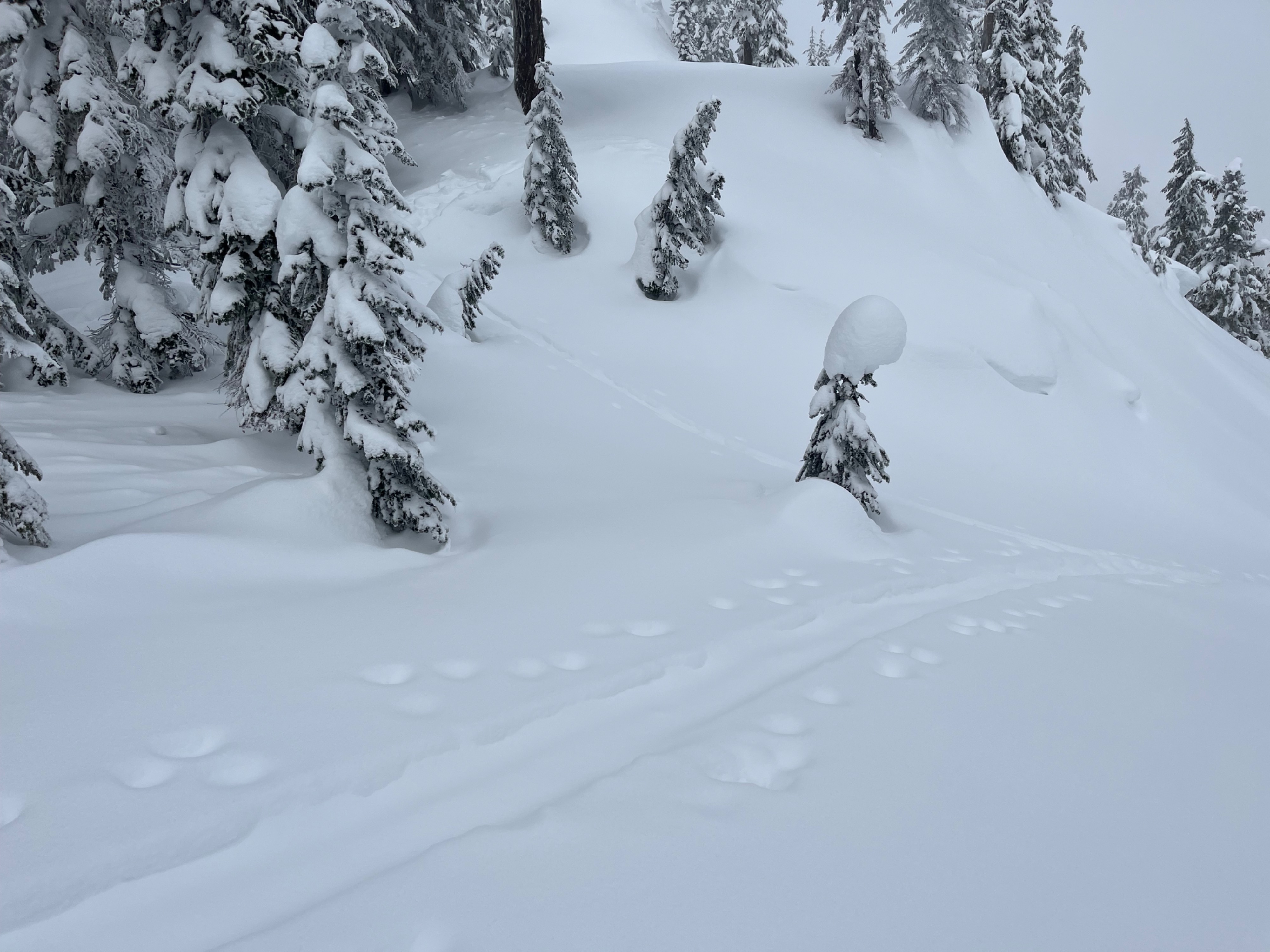
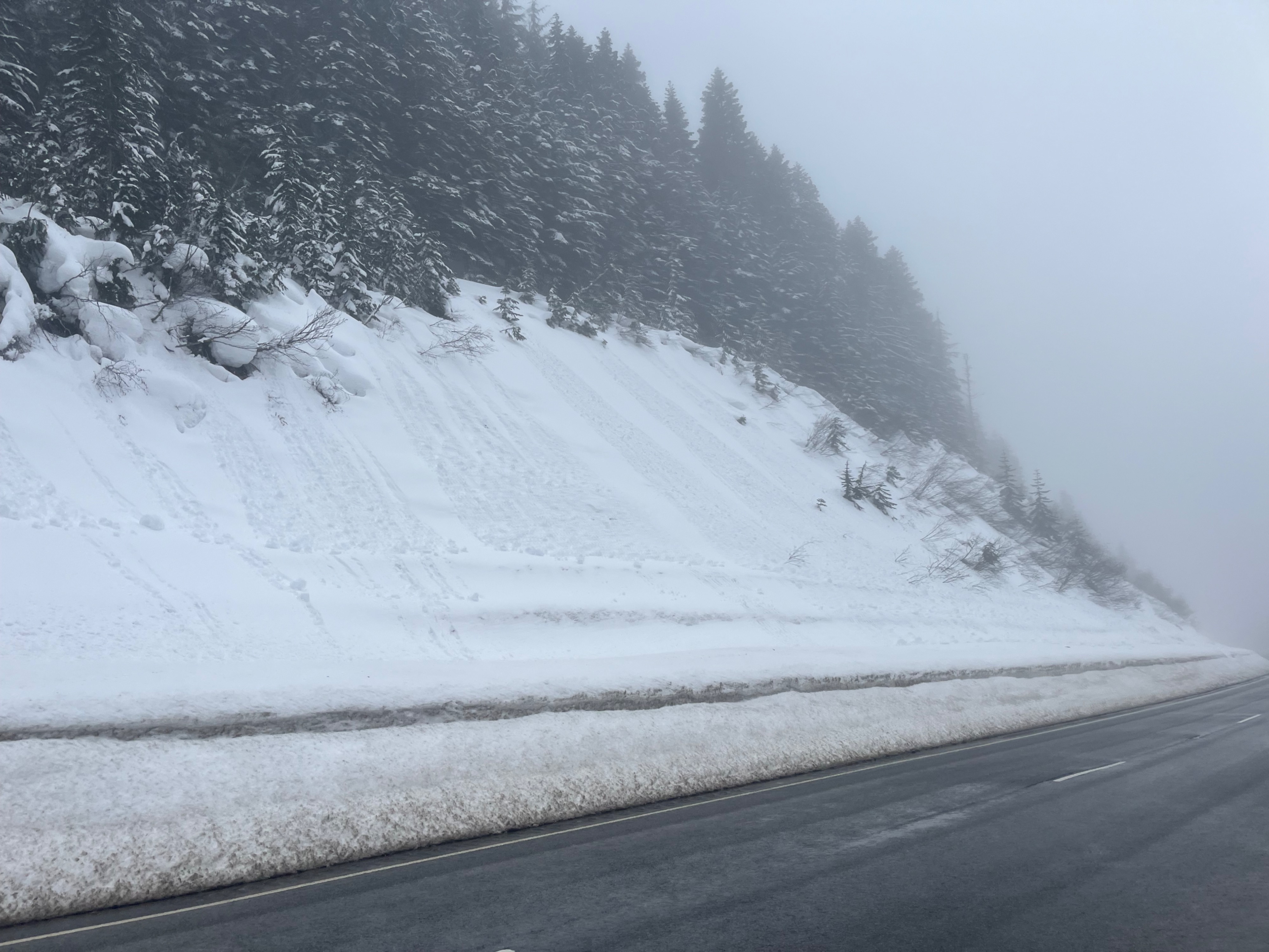
Dry, low density snow in the morning gave way to moist, heavier snow surfaces by midday when I departed. Rollerballs were just beginning to run on steep slopes, all aspects. I didn't see or trigger any slab avalanches. Shallow instabilities were detectable in pit tests, and deeper persistent slab concerns were unreactive in tests.
Weather
- Cloud Cover
- obscured
- Wind Loading
- previous
- Rain Elevation
- 3500
- Recent Snowfall
- 25
- Snow Avail For Transport
- moderate amounts
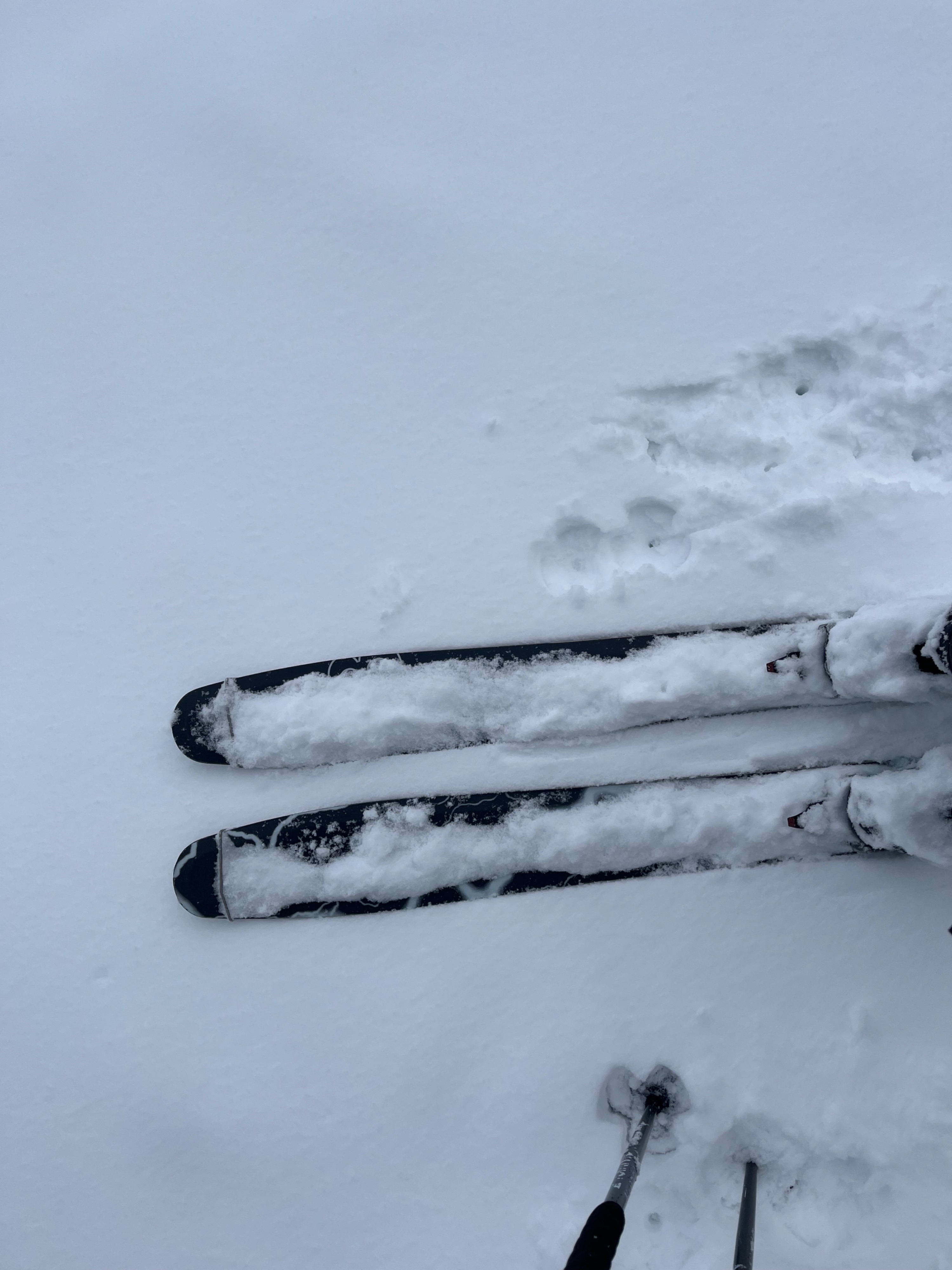
About an inch of snow from overnight coated the majority of the new layer that fell over the weekend. Temperatures became notably warmer midday, where the tour started with cold, dry snow from pass level but as I was leaving at about 11am tree bombs were beginning to fall, snow that landed on me instantly melted, and snow was becoming heavy and moist. Calm. Increasing obscured skies from midday and the "greenhousing" effect was very noticeable.
Snowpack
Snow was dry and low density in the morning but rapidly transitioned to heavy and moist midday. My skis generally sunk about 6 inches deep. Along the ridge I noted wind slabs under the snow since midday yesterday, where beneath 2" of non wind-affected snow my skis sat on a firm wind slab.
I dug 2 pits on a north and south aspect at just ober 5000ft. In both, I found shallow instabilities- one being about 4" deep, midway in the storm layer, and another being at the bottom of the storm snow, about 10" deep. The January Drought Layer and 1/10 crust were unreactive in tests, 2-3ft below the surface.