
Paradise Area: Skyline, McLure Rock, Mazama Bowls, 4th Crossing
Quick report
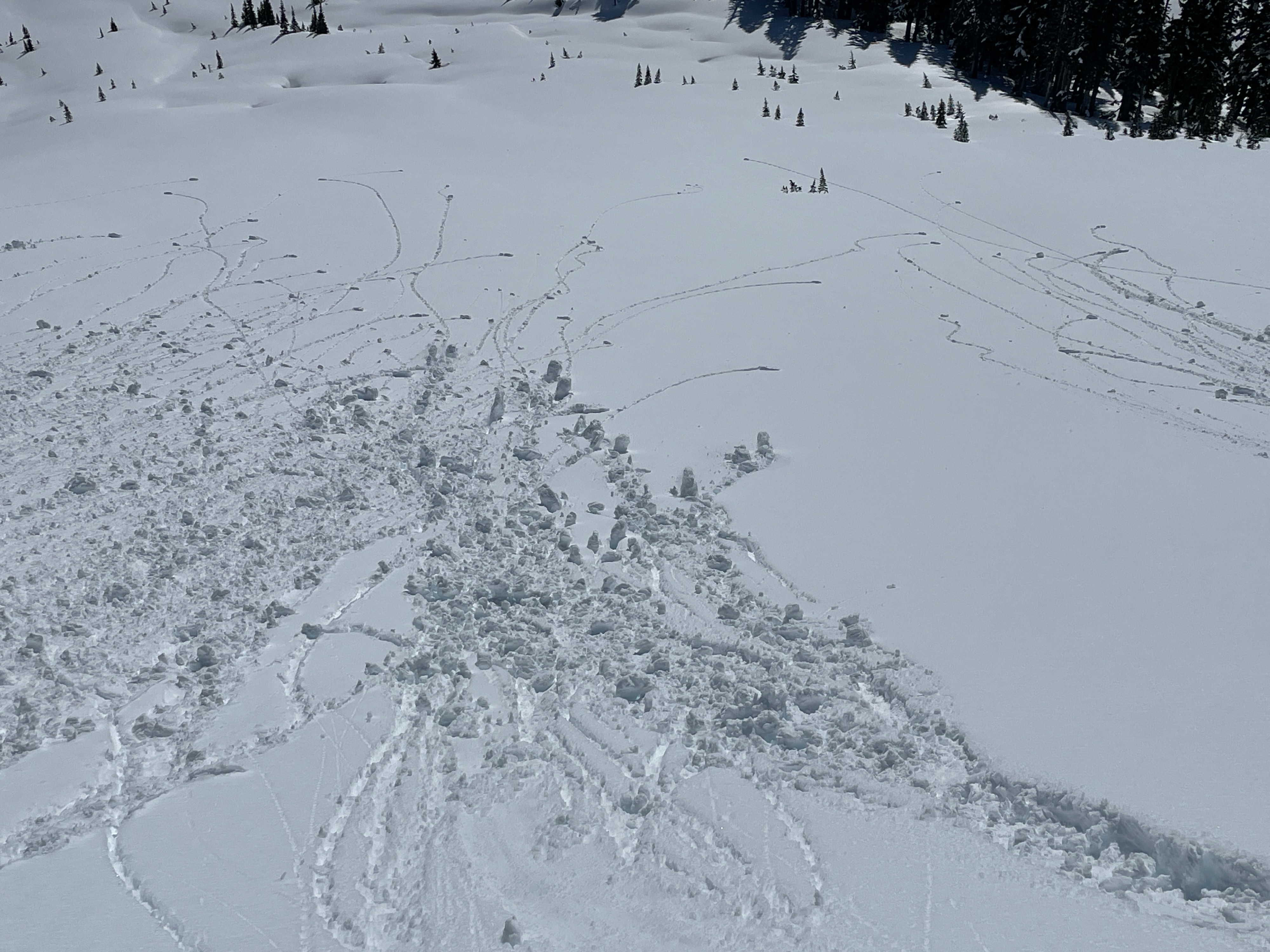
A beautiful sunny day on Mt Rainier! However, the warming temperatures and sunshine helped the surface crust breakdown and rollerball parades commenced. While wet loose slides were few and far between, we were able to push a few slides on steeper slopes.
No cracking or collapsing was noted, however the recent wind slab and wet loose avalanches and abundance of rollerballs highlights the instability.Weather
- Cloud Cover
- clear
- Wind Loading
- previous
- Recent Snowfall
- 0
- Snow Avail For Transport
- none
Gorgeous day on Mt Rainier. Light W-SW winds gave some relief from the warm sunshine along ridges and at upper elevations. Elsewhere it was calm and hot.
Snowpack
The snowpack is extremely aspect depended due to several sunny days this month.
Southerlies. Today steep southerly slopes became wet and manky. This will certainly form a crust overnight. Overall, the upper snowpack is shallower over the Early February Crust (EFC) in these areas. The snow is stronger and warmer. Several other crust (2/11, 2/14, 2/19) exist from recent sunny weather. What's left of facets can still be see just above the EFC. (typically 3ft/90cm over EFC)
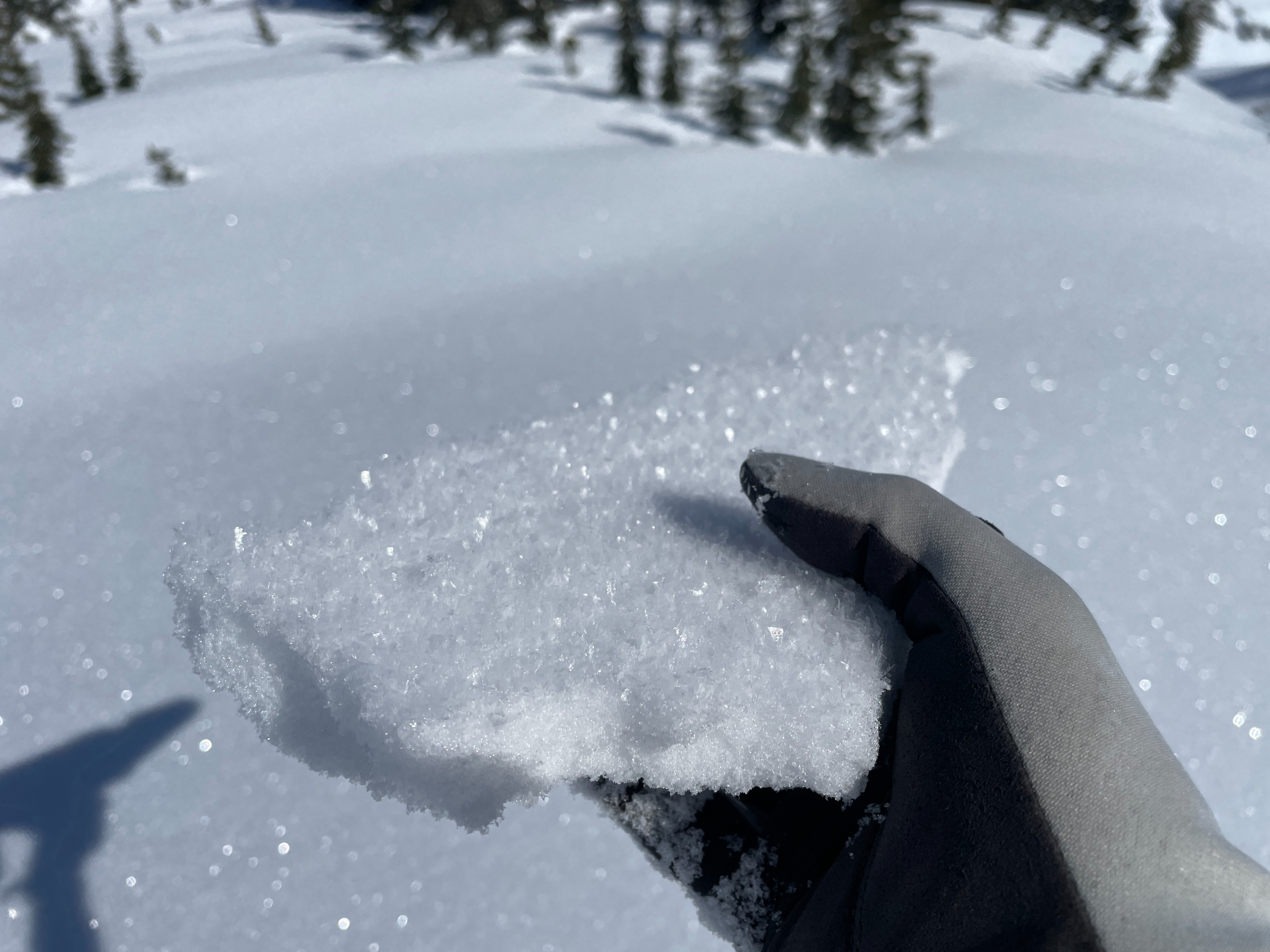
Northerlies: Cold dry settled snow continues to linger on shaded slopes. A fresh crop of surface hoar and near surface facets formed last night (2/22). These were surviving as we left the field around 1pm. The upper snowpack is colder, deeper, and contains more potential weak layers. However, despite these layers, snowpack tests did not produce any notable results. The only weak layer that failed (and it did so consistently) was a layer of 1-2mm facets just above the EFC. (EFC down 4ft/120cm)
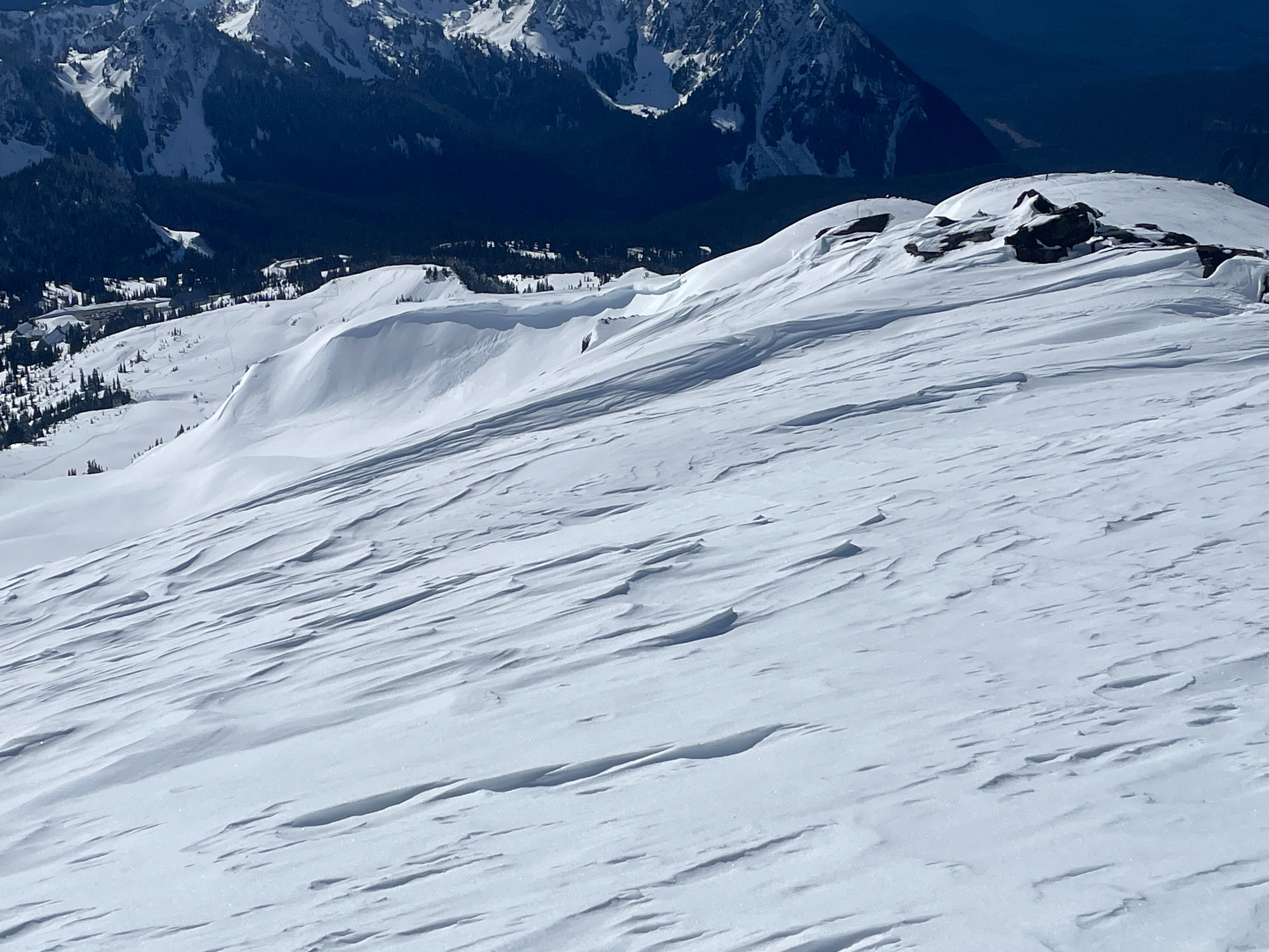
Upper elevations: Several recent strong wind events sculpted the snow at upper elevations. Textures surfaces, scoured slopes, large drifts, and rime show the impacts of the wind. Very few slops were smooth.
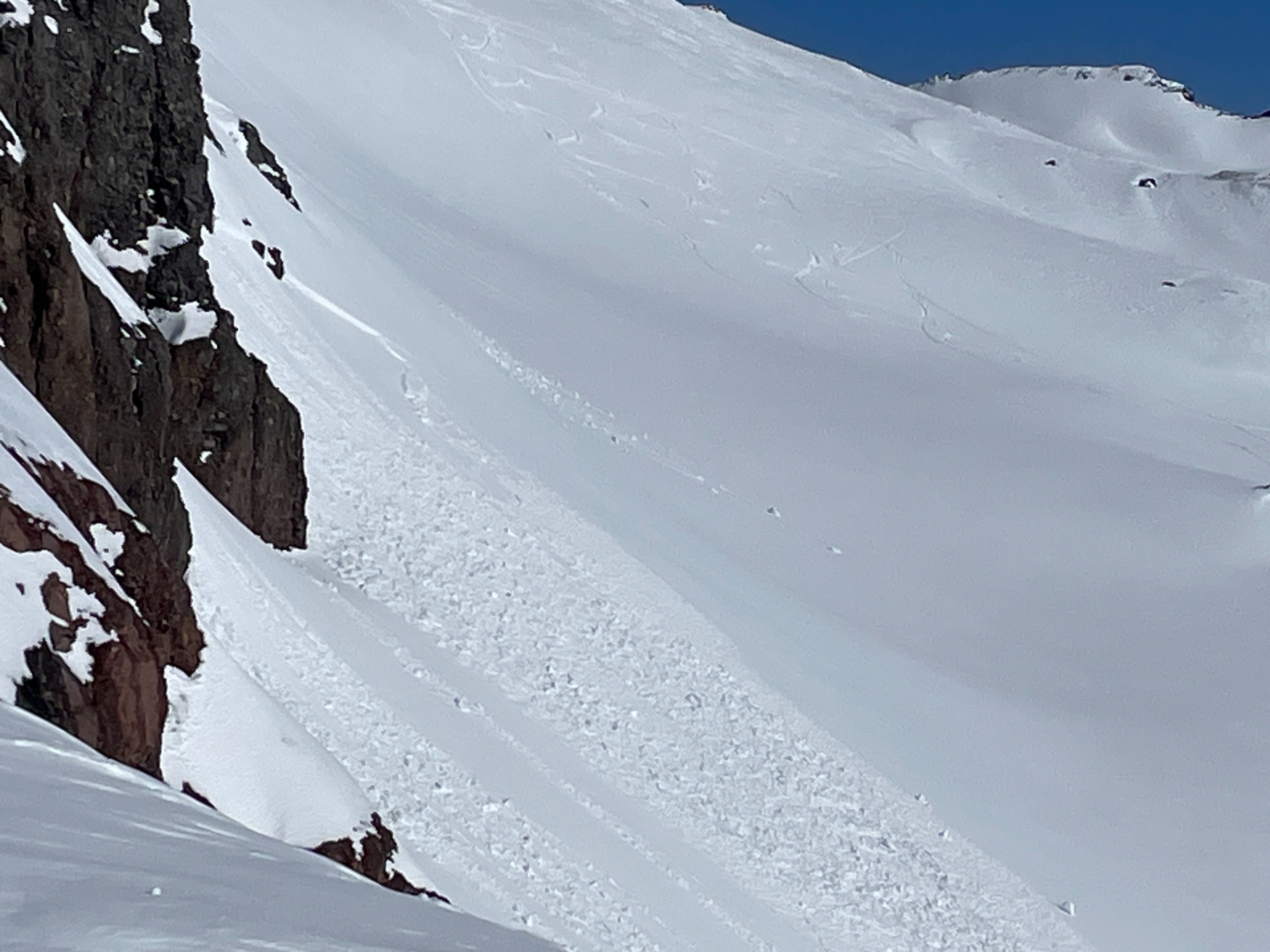
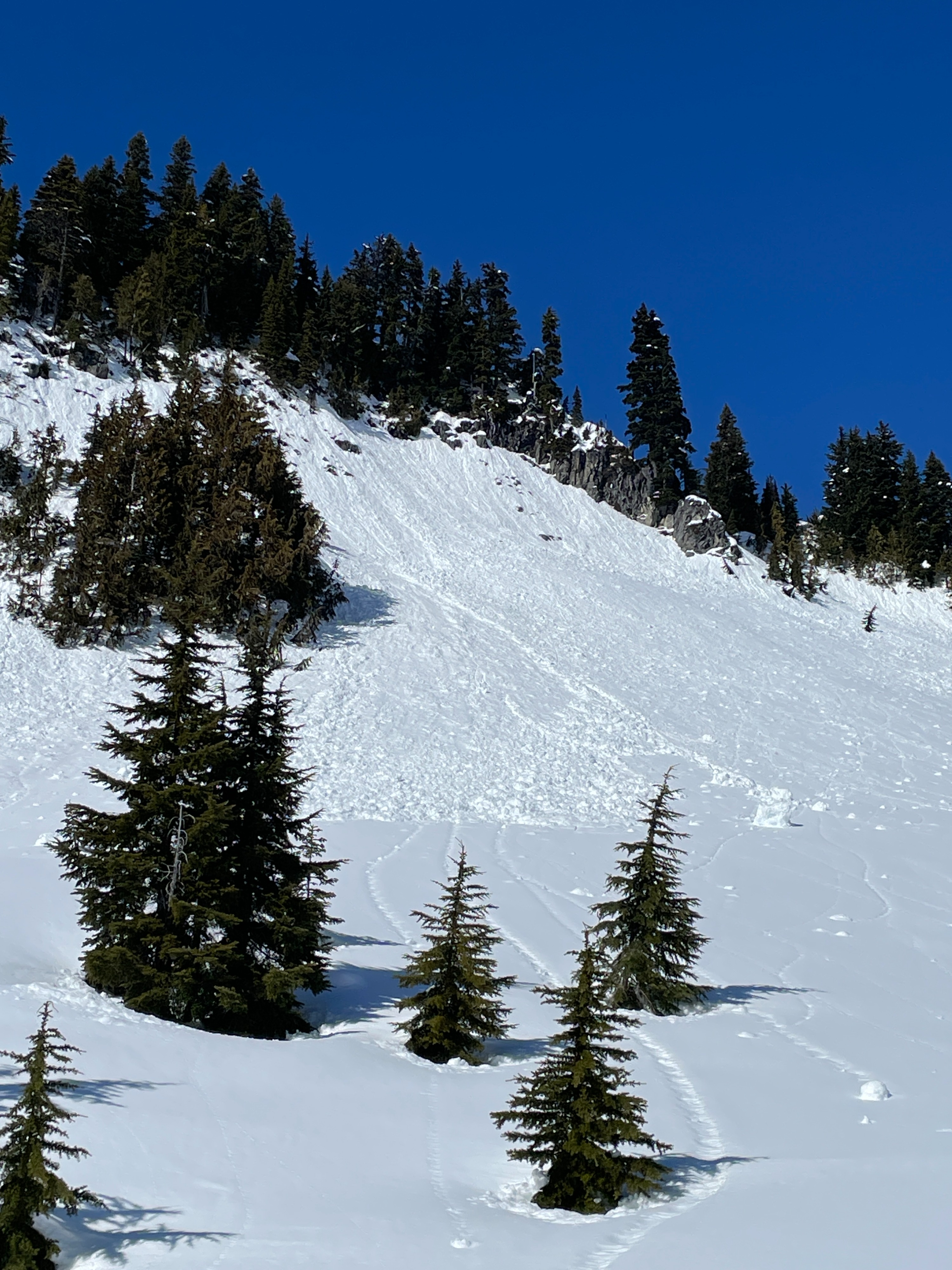
Wet Loose: A surface crust helped delay the wet loose avalanches today, but by noon, this crust had generally broken down and rollerballs were releasing on many slopes. It was hard to say what was from today and what was from yesterday, but pile and pile of rollerballs exist on most slopes. A few notable wet loose slides were seen, but they were few and far between given the extensive rollerball activity.
Avalanche
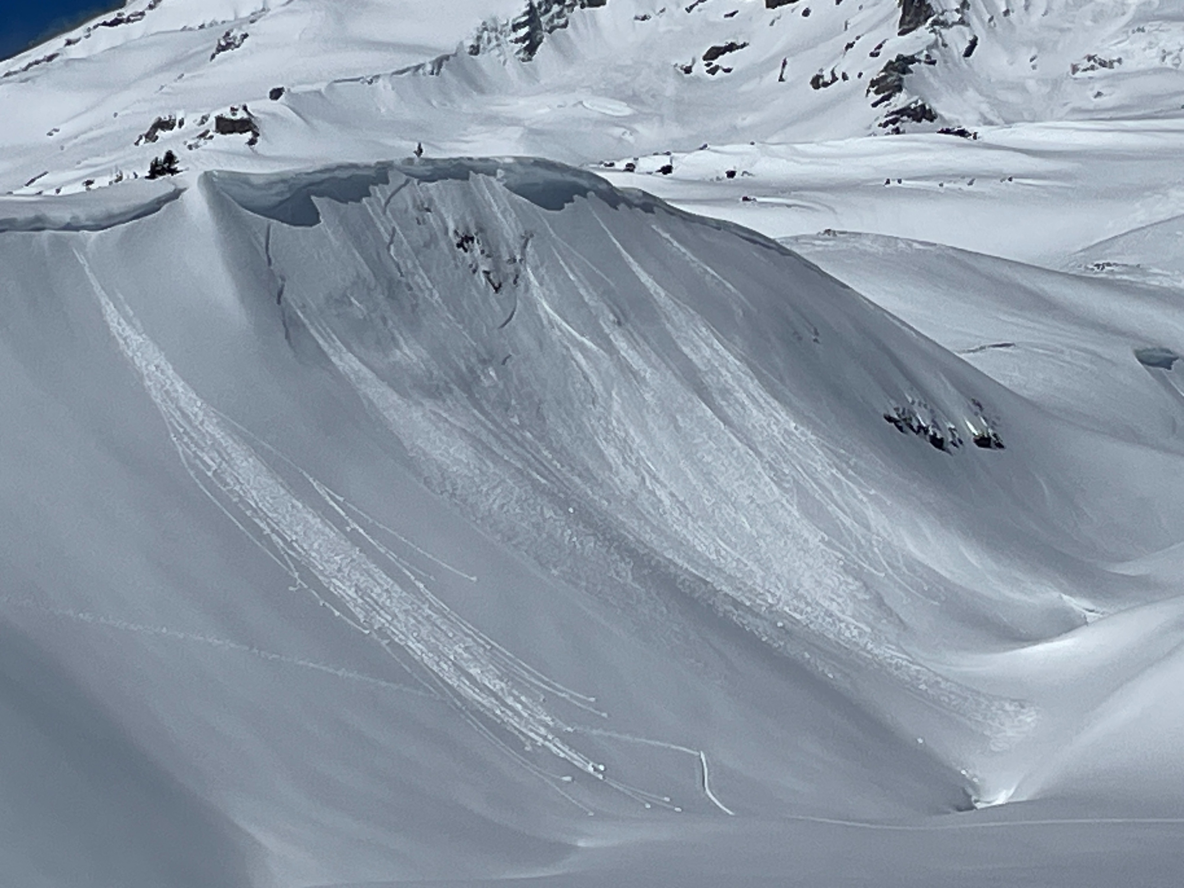
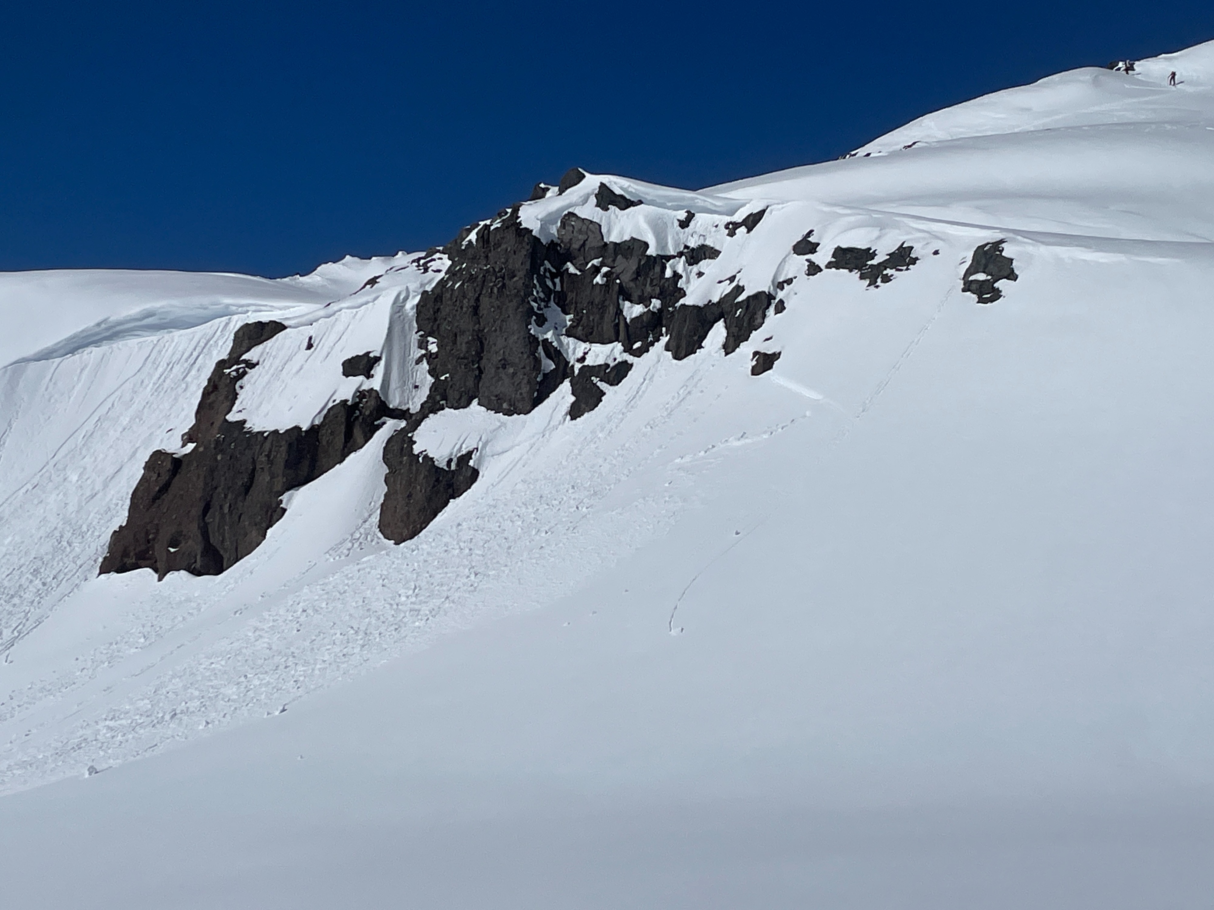
Wet Loose: I was able to trigger small wet loose slides around noon on steep (40) southerly slopes. These slides entrained snow but did not run very far. Other natural wet loose were also noted many below rocky terrain, At least some of these were likely from yesterday (2/22) Wind Slab: Several natural wind slab avalanches were observed on NE-SE aspects. They were all in very steep terrain and triggered by cornices, wet loose, or large blocks of snow shedding from cliffs. Crown appeared to be in the 1ft range, likely involving most of Wednesday's (2/21) snow. D1.5s