
Weather
- Air Temp
- 34F
- Cloud Cover
- few
- Wind Loading
- none
- Recent Snowfall
- none
- Snow Avail For Transport
- none
Snowpack
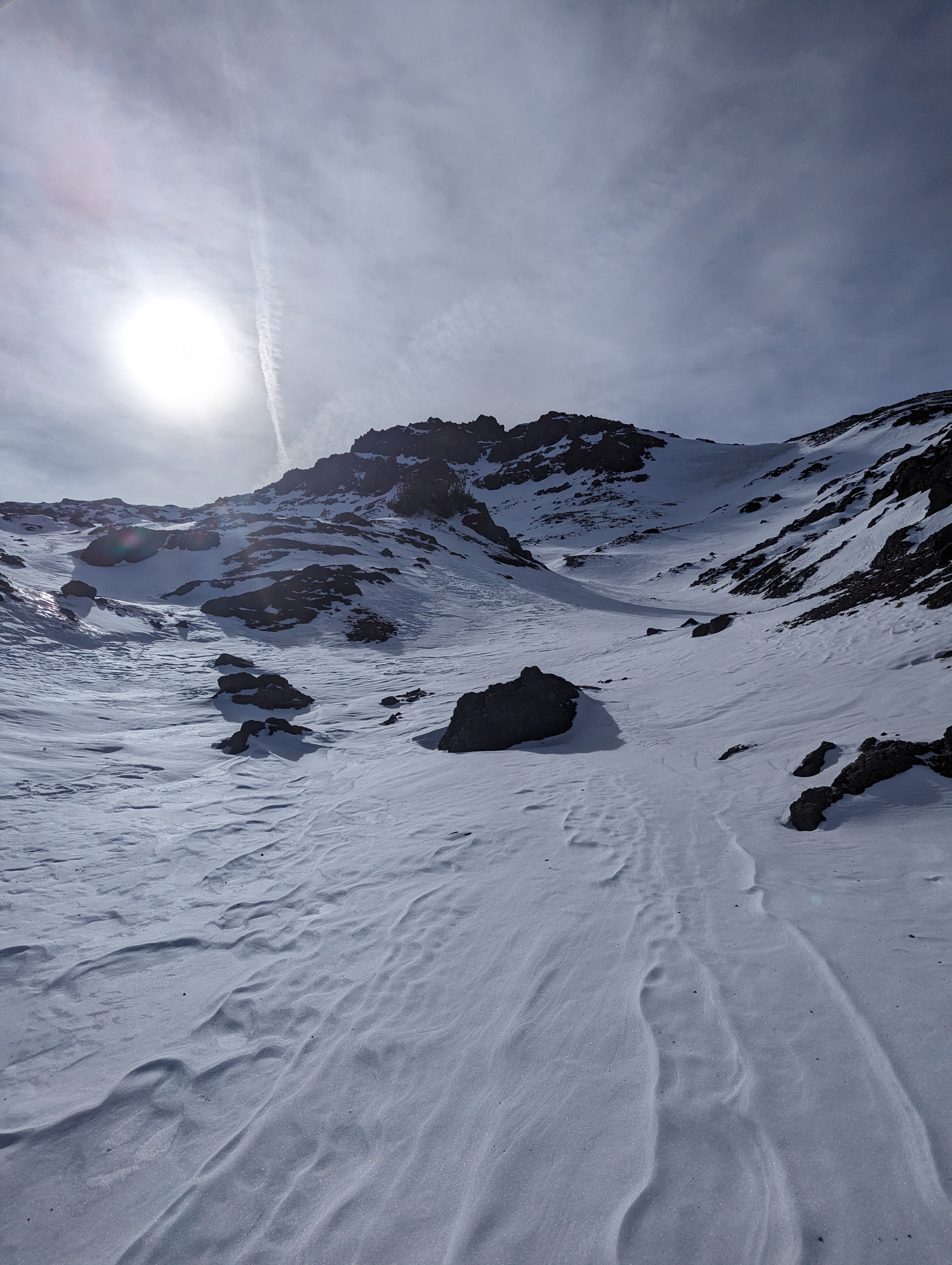
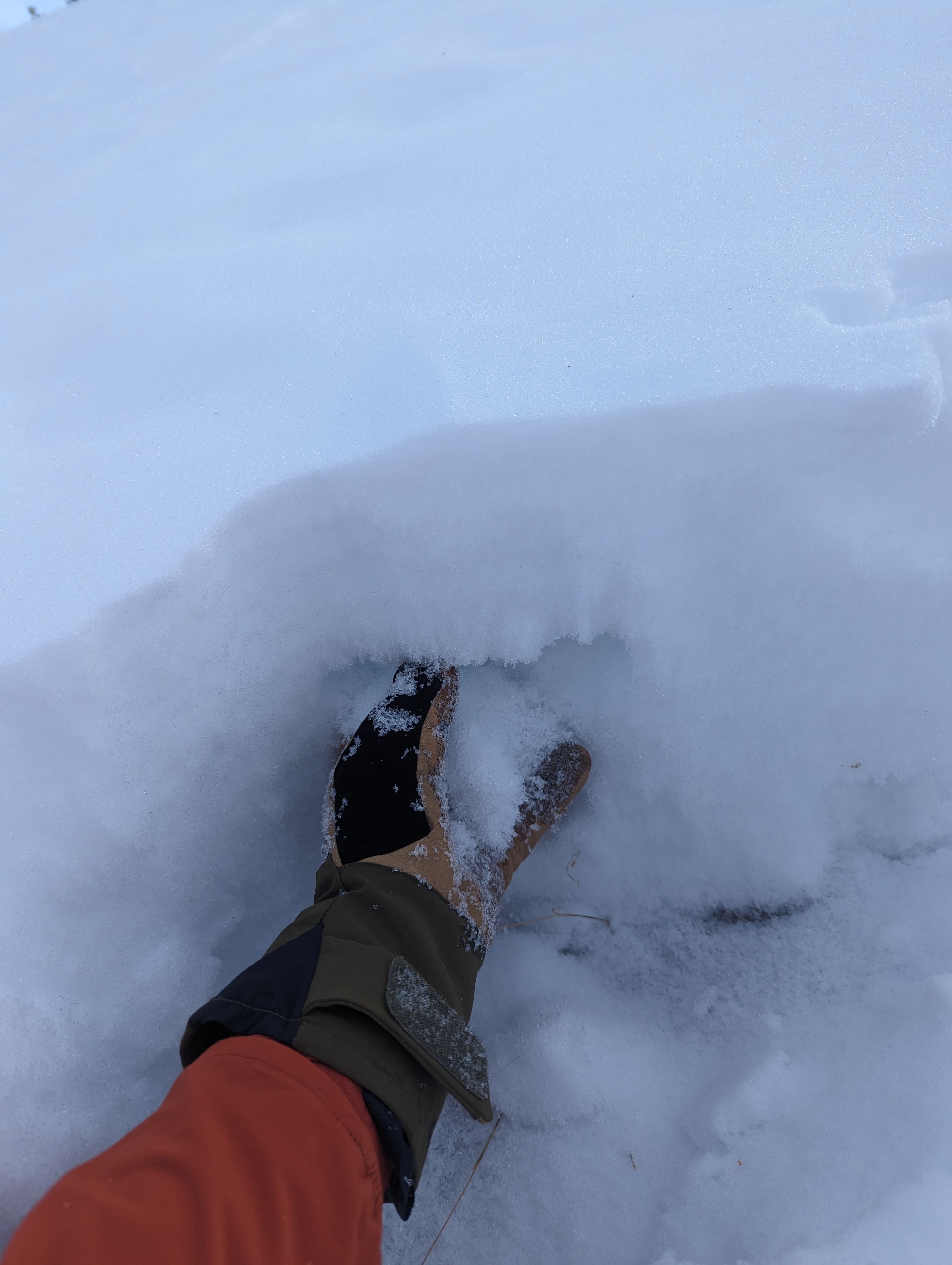
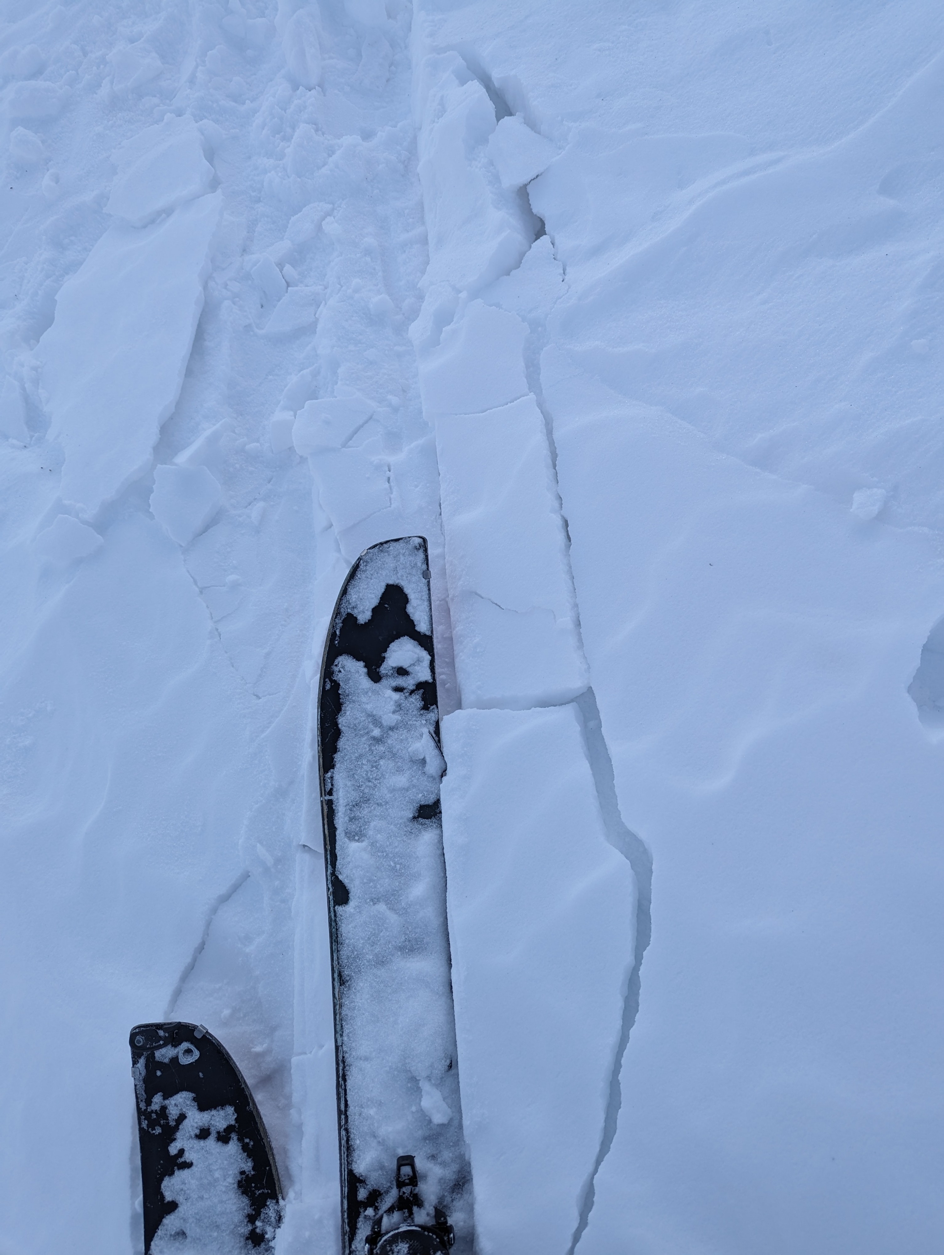
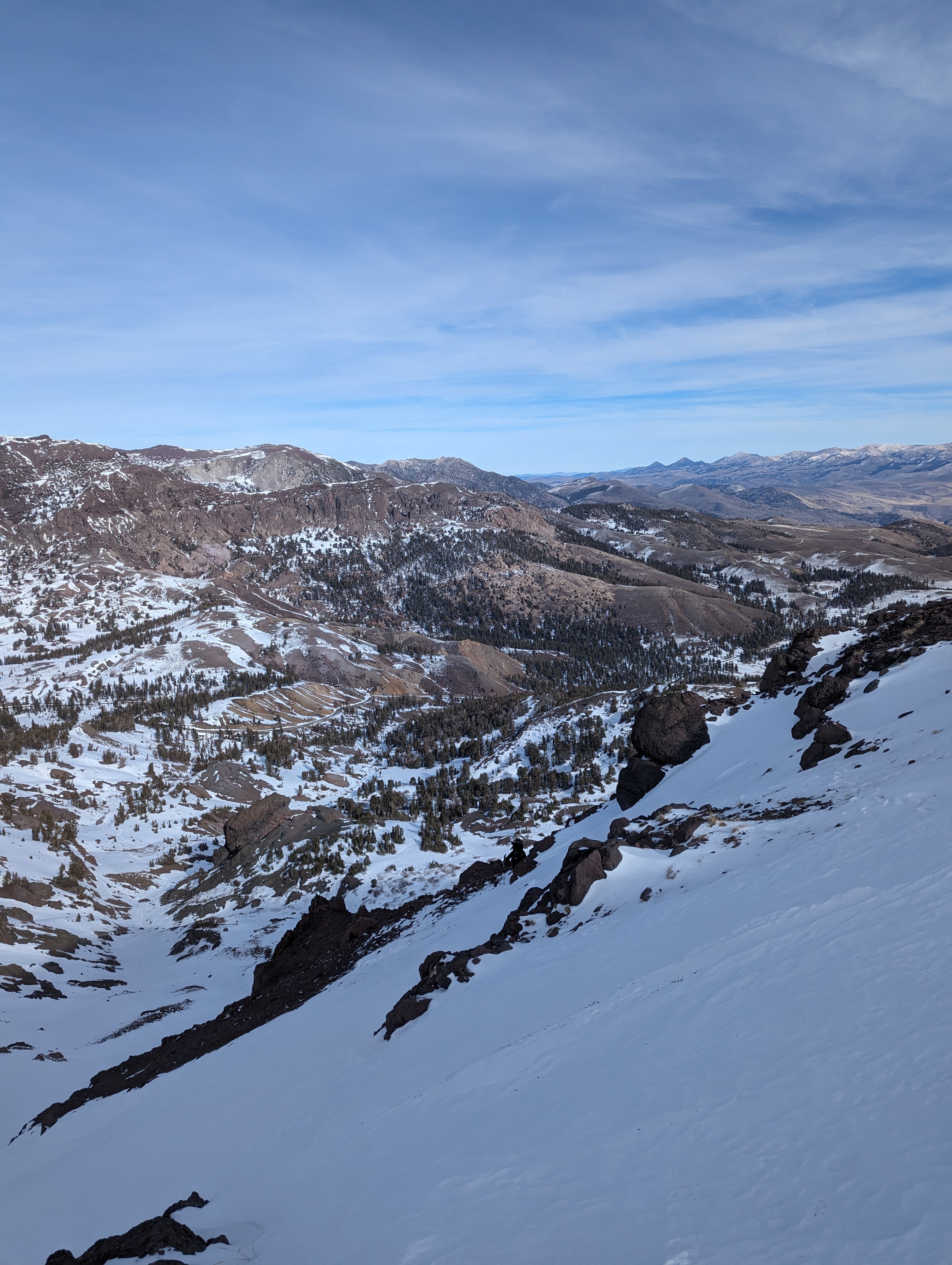
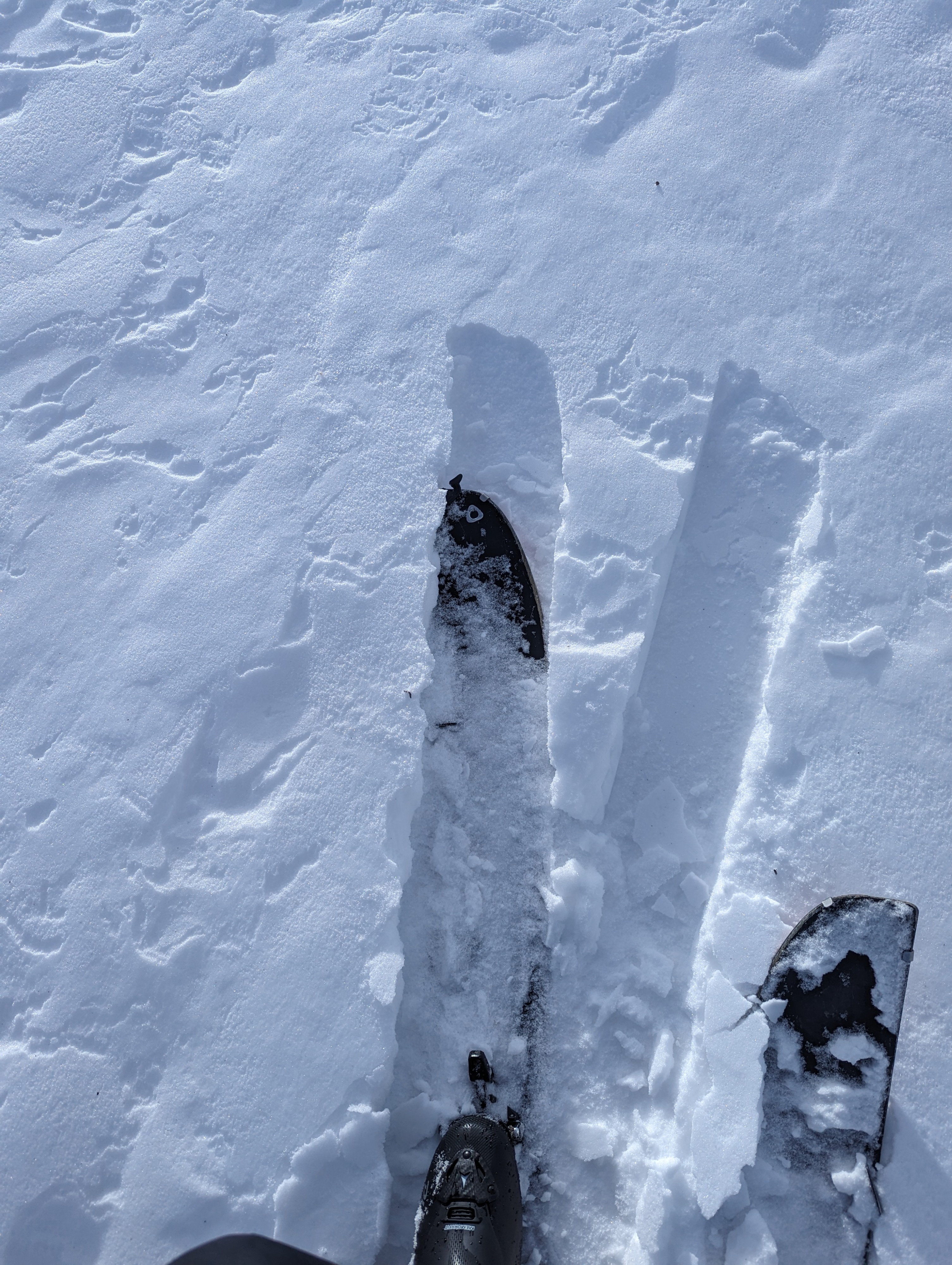
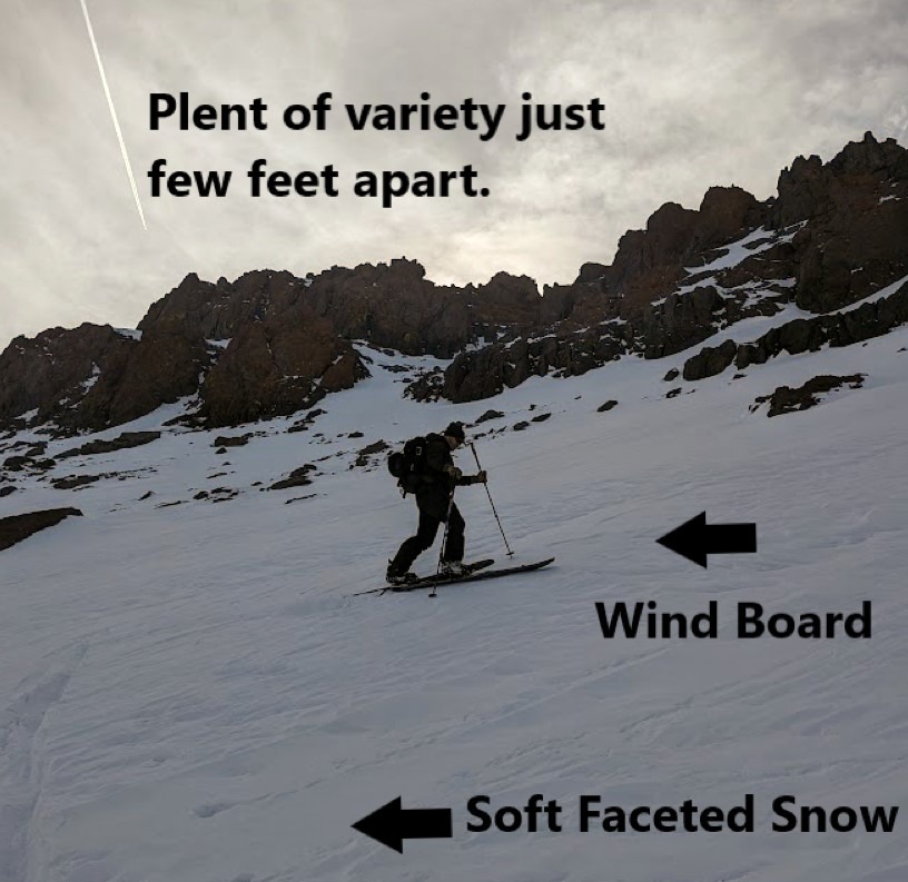
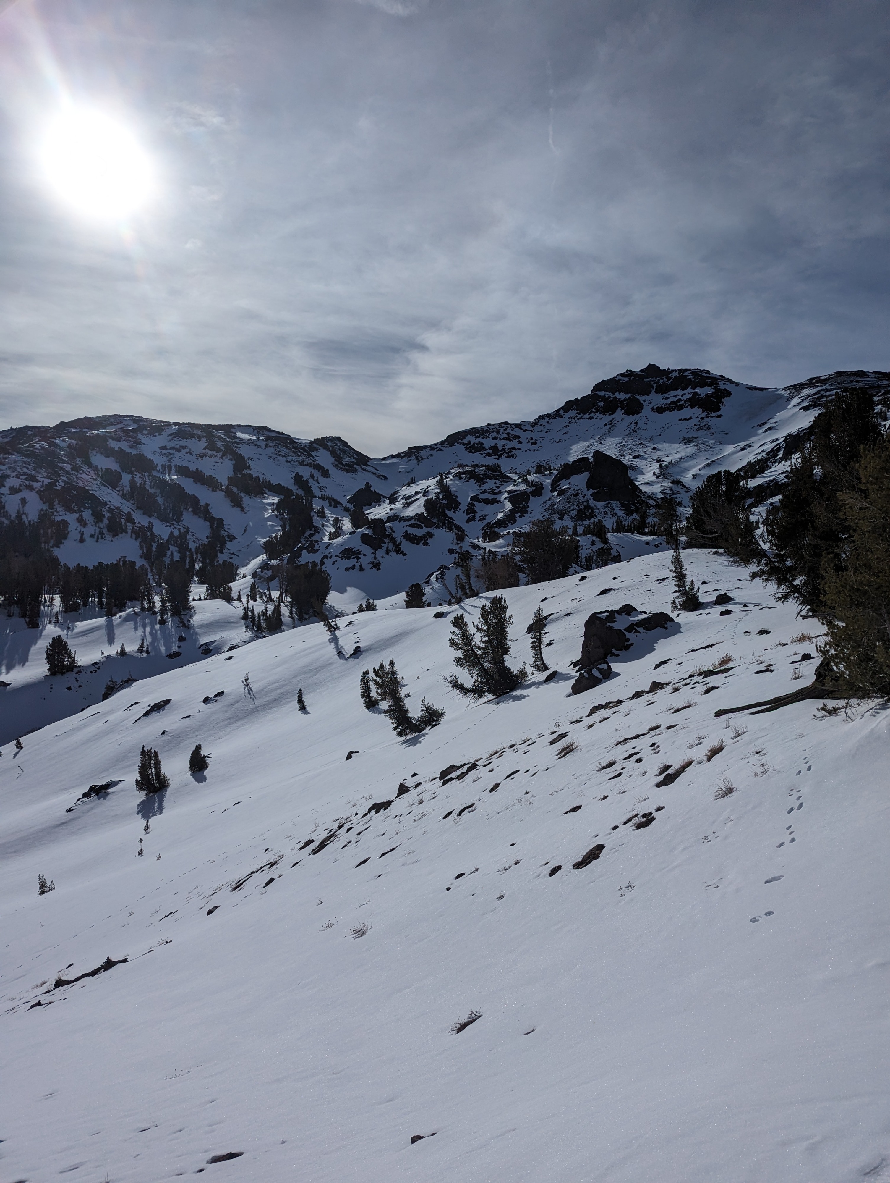
Today, we went to the Sonora pass area to see what the snowpack structure looked like before the incoming storm that is set to arrive late this weekend or early next work week. We were able to follow the PCT to 10,850 and get an overview of the area and sparse snow coverage. The snowpack we did find was highly variable, snow depth ranged between bare ground and 60 cm depending on aspect and elevation. Sheltered North facing slopes above the tree line had the only connected snow patches we could link turns on. It is still low tide conditions in those locations though with plenty of rocks and roots poking through. Snow quality was also variable, sheltered locations had soft surgery facets from top to bottom, and areas where wind was able to transport snow either had a thin wind crust or dense windboard on top of the facets. Ski crampons were a big help to navigate the patchwork of windboard
Right now facets exist wherever snow is in our forecast area. This weak snow structure will come into play when the next storm arrives, which is slated for early next week. a weak snow layer( the facets) sitting below a strong layer ( new snow) is always a concerning snowpack. The formation of a persistent slab avalanche problem after the storm's departure is something we will be tracking,