
Quick report
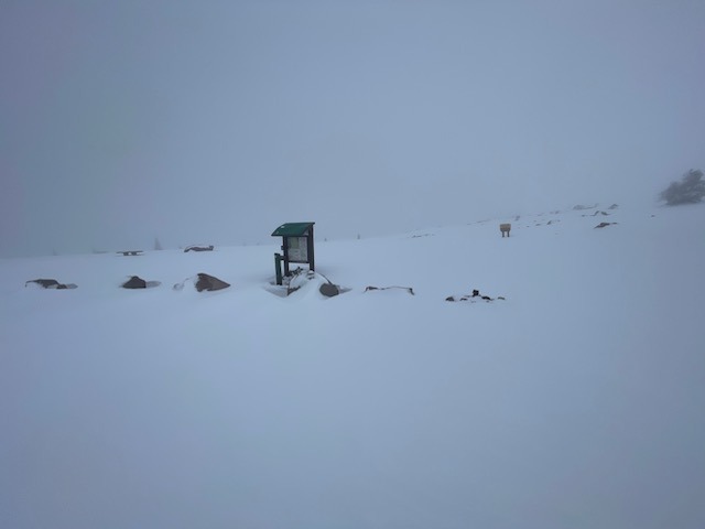
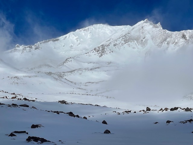
It's shark week folks. Top hazard: rocks-n-stuff. The main thoroughfare for most is the road past the gate at Bunny Flat. This has been providing safe sliding fun, stretchin' those legs, dusting off the tools of the trade. Some are venturing off-piste. Snowmobiles are not riding off roads yet. The snow is still sticking to the trees. Avalanche danger is low and will remain this way until more snow arrives.
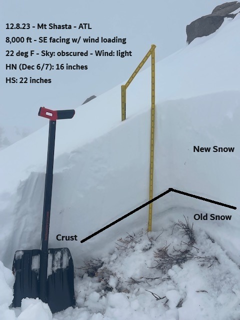
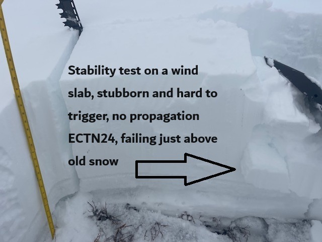
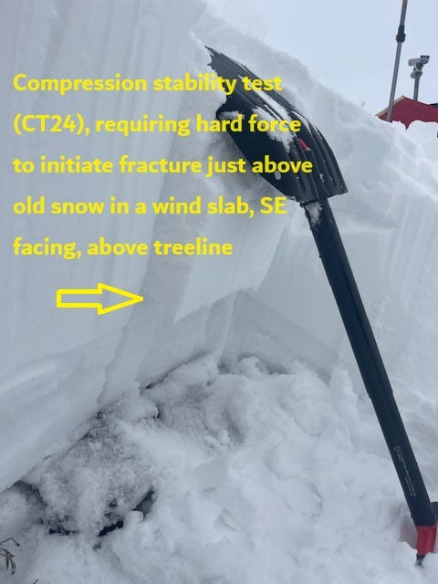
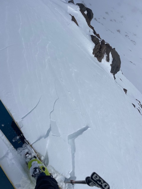
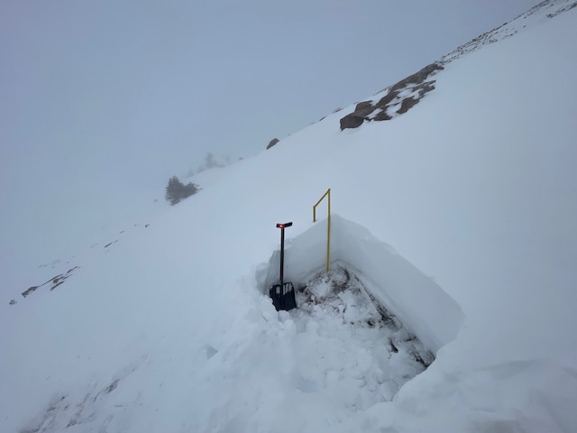
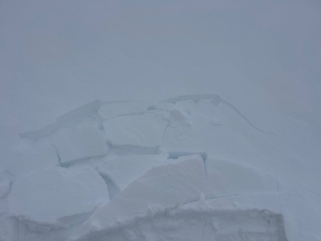
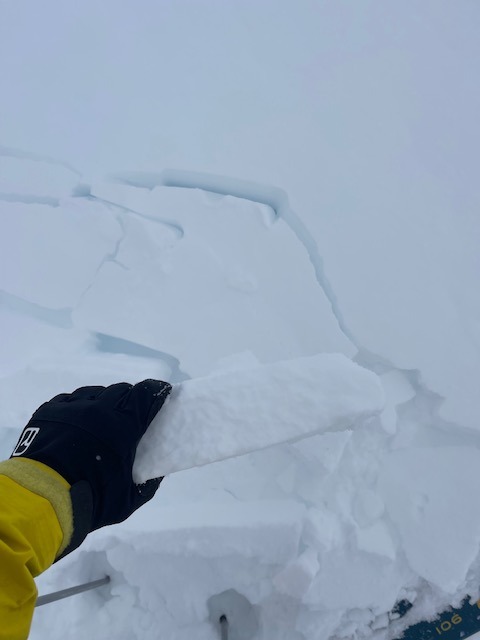
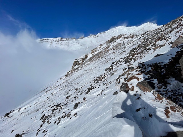
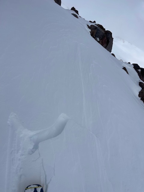
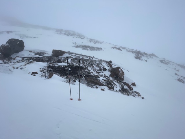
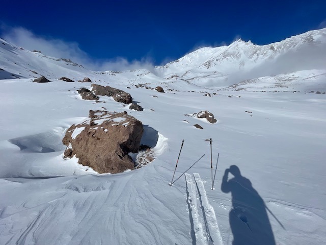
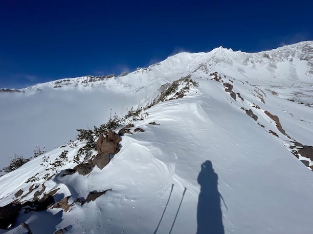
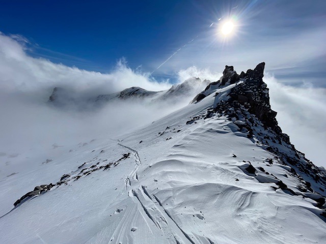
Above treeline on Mount Shasta, very small wind slabs, ~5 inches thick, could be triggered along windy areas like ridges and exposed moraine tops. (See photos) These slabs could not bury you, but if triggered, could cause an unsuspecting skier to lose balance. Should one slip and fall on a steep slope...slick, rocky terrain will host you. The snowpack is still thin. Max snow depths measure 2 - 2.5 feet. Average snow depth is 1-1.5 feet. Snow distribution is not even. Ground anchors (rocks) are still working to hold the snowpack in place. Many areas are scoured to the ground. A couple snow pits were dug to ground on leeward SE-E-NE aspects, targeting the wind slab avalanche problem. Stability tests required hard force to produce non-planar fractures just above the old snow - new snow interface. These tests indicate it would be difficult to trigger a wind slab.Weather
- Air Temp
- 20
- Cloud Cover
- obscured
- Wind Loading
- light
- Rain Elevation
- 4,500 feet
- Recent Snowfall
- 0
- Snow Avail For Transport
- small smounts
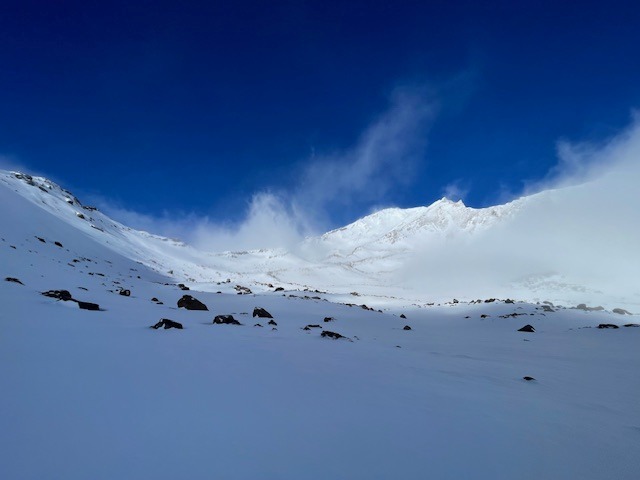
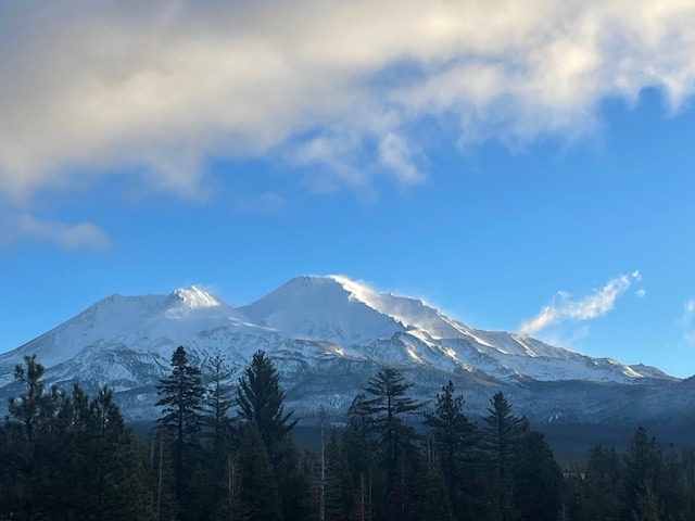
The day started mostly clear, but soon consisted of thick fog and clouds at lower elevations. A few periods of blue sky occurred. No new snow has fallen within the last 24 hours. Temperatures have ranged from 12 to 21 deg F. Wind has blown predominantly out of the NW, averaging 10 mph, with gusts to 50 mph. The wind switched to easterly early this morning after a previous 16 hour, moderate blow. Warming temps and high pressure is the trend for the coming days
Snowpack
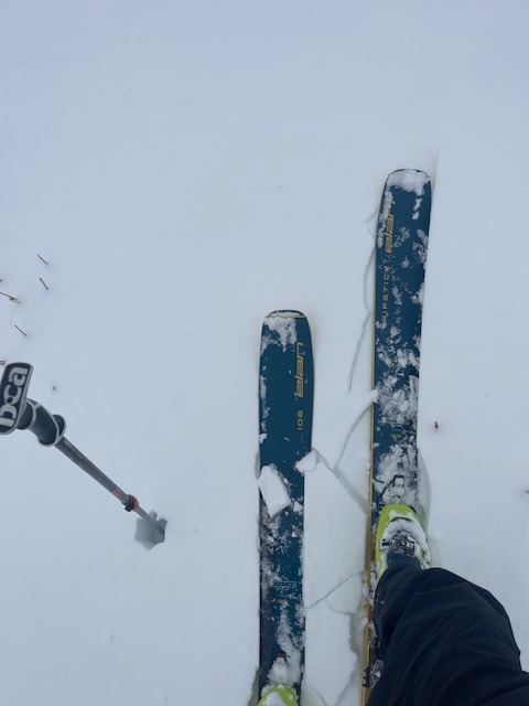
Height of snow at near and above treeline is ~21 inches. The bottom third consists of thick crust and a two-inch layer of soft snow near the ground. This layer has not indicated itself as problematic through stability tests. The remainder of the snowpack is recent snowfall from December 6th and 7th. The density of the new snow ranges from one finger to fist hard. Wind exposed areas are harder, protected areas softer. The snow is not evenly distributed across the landscape. Sun has not had much effect on the snowpack due to short days, low angle and obscured skies. Our current snowpack on Mount Shasta can be looked at as: the old snow, and the new snow, until we get more...SNOW!
Other areas within the forecast area like Castle Lake and the Eddy Mountains do not have enough snow for winter recreation.
Avalanche
We have not observed any avalanches recently, or this season