
Quick report
Touring up Breccia Peak, we found that winds have stripped much of the new snow above 10,000'. Today winds were light gusting to moderate from the SW. Large cornices have formed on the eastern ridgelines, stiff wind drifts exist along the NE ridge, and many of the exposed upper elevation slopes are scoured. Below 10,000' much of the new snow that fell during our last storm has seen little wind. Warmer temperatures are causing the new snow to settle quickly and solar aspects developed a thin sun crust from the past weekend.
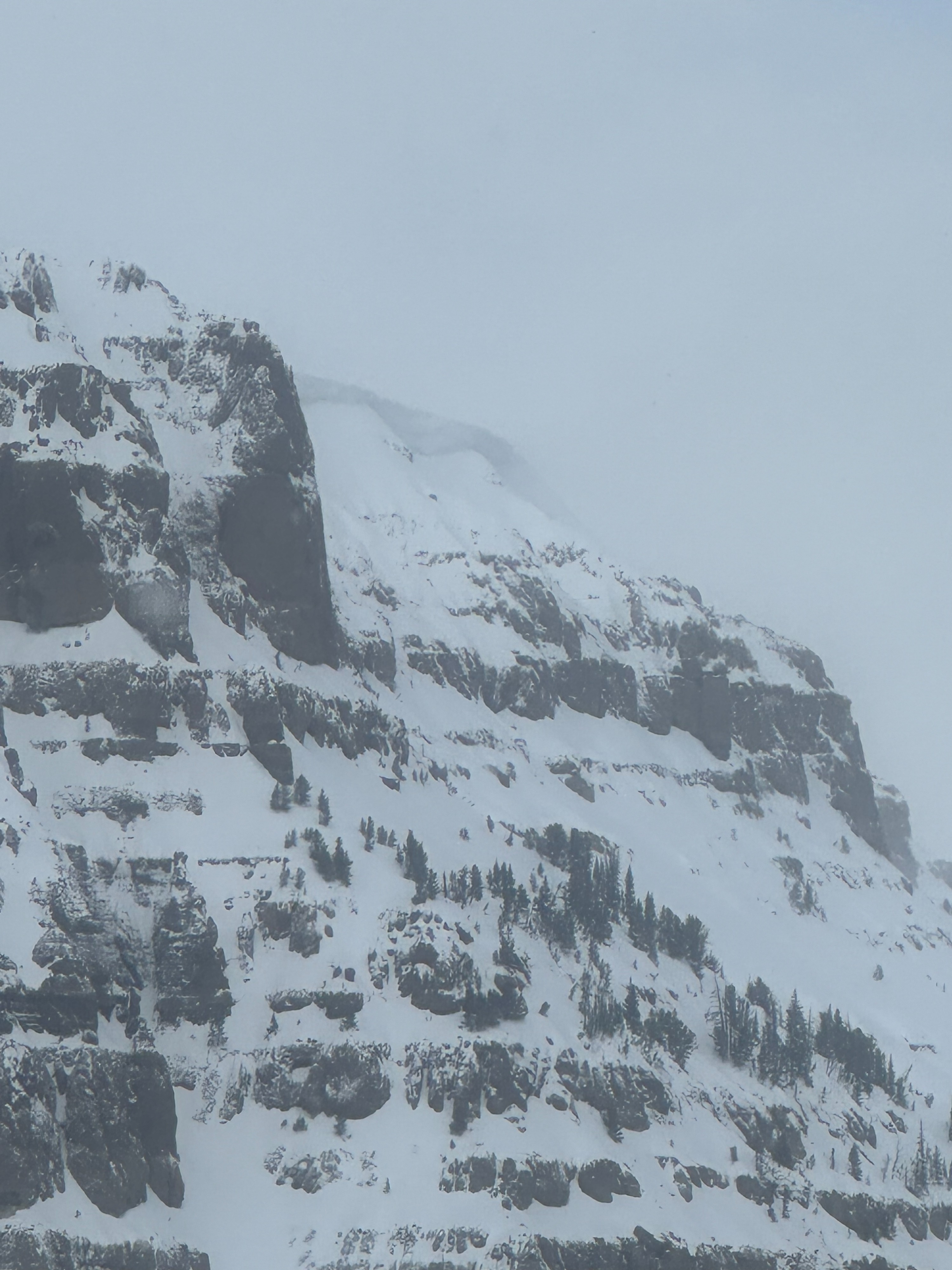
No cracking or collapsing was observed. While driving, we identified one recent avalanche along a SW ridgeline south of Angle Mountain.Weather
- Cloud Cover
- broken
- Wind Loading
- moderate
- Snow Avail For Transport
- small smounts
Mostly broken sky throughout the day transitioning to party sunny by 2 pm. Light winds from the SW above 10,000 feet gusting to moderate through the day. No precipitation below 10,000 feet and precipitation levels of < 1cm/ hr (S-1) were observed above 10,000 feet before noon.
Snowpack
Dug two pits on an E and SW aspect with very different structures. The SW pit contained a thinner snowpack, with less exposure to wind. Its overall structure still looks weak, although the persistent weak layers are starting to show an increase in strength.
The east pit was dug at 10,200 feet with an overall snow depth of 78 inches (6.5 feet). Test results produced ECTX with facets buried ~3 feet down.
The southwest pit was dug at 10,000 feet with an overall snow depth of 46 inches (3.8 feet). Test results produced an ECTP 24 failing on a basal facets layer 29 inches down.
Avalanche
- Size
- D1.5 R3
- Type
- SS
- Aspect
- SW
- Elevation
- 9900 ft
Avalanche on a SW-W shoulder below Angle Mountain. The small cornices above indicate wind loading on this shoulder. We noted this avalanche on our drive to Jackson.