
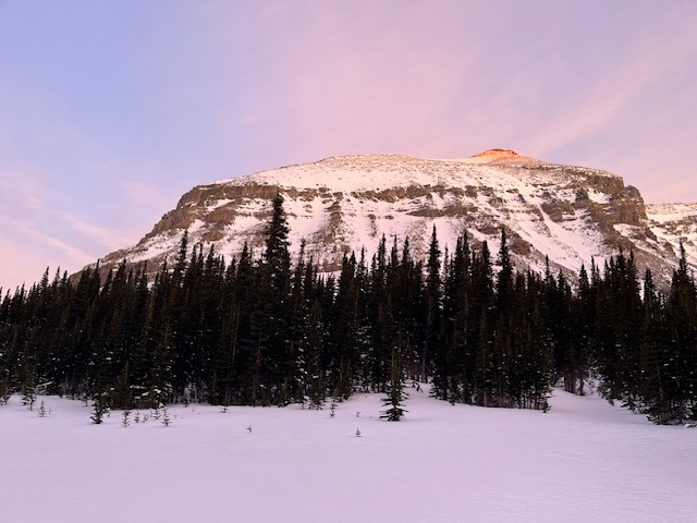
Mt. Siyeh
Quick report
- Cracking
- isolated
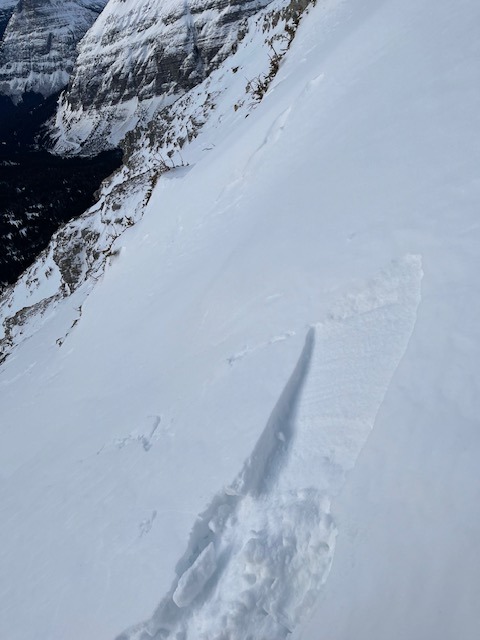
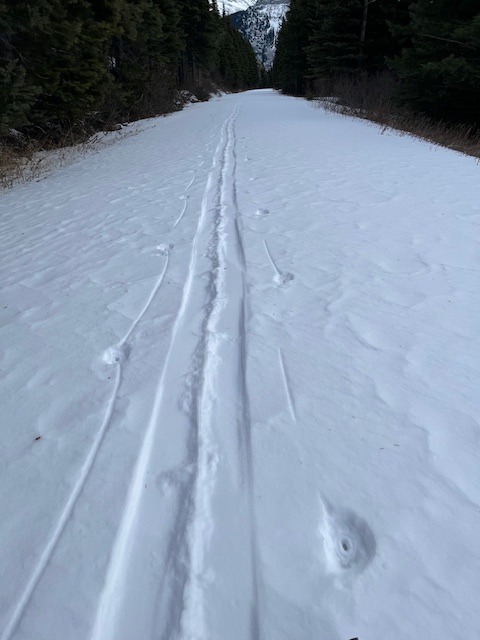
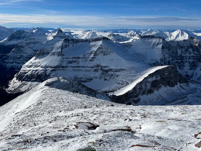
Moderate to strong winds out of the W and SW were transporting snow at mid and upper elevations. Snow was actively adding to previously formed wind slabs from earlier in the season. By 1400 snow was actively being transported on SE to NE aspects on Mt. Jackson across the valley. Sloughing of surface snow was occurring on SW-SE slopes that held more than 25 cm of snow between 7400-8000'. Small rollerballs were observed coming off of rock faces. Snow totals on GTTS road never exceeded 5cm. However, near surface faceting helped to speed up the descent on the way back. Snow line started around Jackson Glacier Overlook. Areas of with wind slab formations showed poor bonding with old snow on slopes over 40 degrees in and around the diorite band. Snow depths varied between 0 and 100 cm.
Weather
- Air Temp
- 25-40
- Cloud Cover
- few
- Wind Loading
- moderate
- Rain Elevation
- n/a
- Recent Snowfall
- 3
- Snow Avail For Transport
- moderate amounts
Shockingly warm temperatures for late December. Standard East side winds were moderate to strong at all times during the day. Several gusts after sunset nearly knocked over a weary traveler around Sun Rift Gorge.
Snowpack
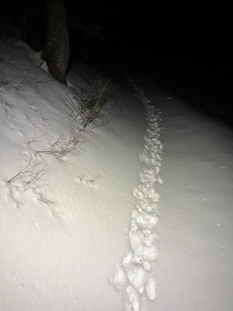
Snowpack depths on approach varied from 15-100 cm depending on location. Once on the mountain snowpack depths were mostly between 10 and 75 cm. Limited snow coverage above 9000' except in isolated terrain features where wind slabs were actively forming.
Avalanche
- Size
- D1 R1
- Type
- HS
- Aspect
- SE
- Trigger
- N
- Elevation
- 8300 ft
several D1 avalanches in steepest sections of the diorite sill band between 8200-8400'. All appeared on leeward side of breaks in the cliff band.