

Bulletin d’avalanche

Presidential Range

Mount Washington Avalanche Center
Voir sur la carte

Danger d’avalanche

Sat
Alpin
2 · Modéré
Limite forestière
2 · Modéré
Sous la limite
1 · Faible
Périmé — ce bulletin a expiré 6 years ago. Vous consultez des conditions passées, pas le bulletin en cours.

Points saillants

If you brave the cold today to venture into avalanche terrain you will find fresh wind slabs that developed overnight mixed with other areas of wiond eroded hard snow. The wind slabs may be large enough to bury a person and are possibly reactive to a human trigger. These slabs will be found on a number of aspects due to wind shifts in the past 48 hours. Evaluate snow for shooting cracks and smooth pillow shapes that indicate loading has occurred. Large (D2) avalanches should be limited to isolated areas such as the Headwall in Tuckerman Ravine or Main Gully in the Gulf of Slides. Identify all of those features that are tell-tale signs of wind slab and adjust your travel techniques accordingly. MODERATE avalanche danger exists today.

Problèmes avalancheux

  • Wind Slabs

    • Alpin
    • Limite forestière
    • Sous la limite forestière
    Probabilité
    Possible
    Taille
    1–2

    Wind slabs grew in size overnight and are more widely distributed in steep terrain than they were yesterday despite the paltry amount of new snow that fell in the past 36 hours. These slabs will have a soft and weak layer beneath them in some areas due to the slow build up of wind speed. The prime location for these slabs will be in east and southeast facing terrain and beneath steep slopes and cliffs that generally face east. Soft and just barely cohesive snow observed yesterday, that sits on the 157 mph wind slab, has been cross-loaded by overnight NW wind. Poor bonding was observed yesterday between the 157 mph snow and the newer snow.

    The sluff debris in the foreground ran intermittently around mid-day as wind gusted around 20 mph. The apron of sluff, snow and avalanche debris is probably 15' or more feet thick in places, thinner near the edges. This apron has cracked and avalanched a number of times, up to 8' thick. Currently, the 1/16 ice crust is somewhere under the pile.
Avalanche Discussion

Field time in Tucks and conversations with folks visiting Huntington Ravine confirmed the snow depth from another period of “sleeper pow”. Boot to knee top turns were possible, though most folks wisely chose not to test the larger areas of wind slab that were developing through the day in upper start zones. Periodic natural, dry loose avalanche activity was observed from Chute along with a small human-triggered avalanche triggered by a pair of climbers in and around Sluice. (see photo). Lower angled areas away from steep terrain features held loose, light snow with 2-4mm stellars. A wind skin formed in spots, such as the one the falling climber in Sluice triggered. 


In the media gallery below, you’ll see a graphic that may help drive home the point that the avalanche danger scale is not linear, but logarithmic in nature with danger rising at an accelerated rate as the size and distribution of avalanches increase. Also, note that Extreme or Danger Level 5 is not included on the scale. That danger rating is reserved for historical events and is rarely used in practice. The omission of that rating helps to highlight the fact that the Moderate rating is 2 on a logarithmic scale of 4. In other words, Moderate is no joke. Avalanches triggered under this rating can be D2 on the other logarithmic scale for destructive size. It is extremely unlikely, maybe even impossible for a D4 or 5 avalanche to occur in the White Mountains. That means that we are mostly dealing with D1-3 size avalanches. D2 avalanches are nothing to trifle with and neither is the Moderate danger rating.

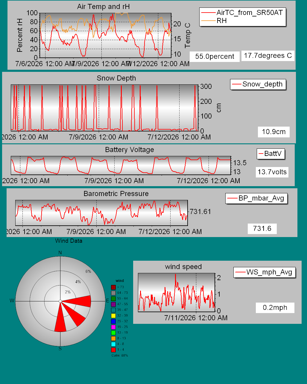
Details on daily snowfall totals, precipitation type, total depth of snow, and other information can be found on our page devoted to snow study plot data. Click here to check it out. Data collected hourly by the new automated weather station at Hermit Lake can be found hereand graphically here. Recent snowpack and avalanche observations can be found here. Your observations help improve our forecast product. Please take a moment and submit a photo or two and a brief description of snow and avalanche conditions that you see in the field.

The Harvard Cabin is open for camping only with no entry allowed inside the cabin.

Please Remember:

Safe travel in avalanche terrain requires training and experience. This forecast is just one tool to help you make your own decisions in avalanche terrain. You control your own risk by choosing where, when, and how you travel.

Avalanche danger may change when actual weather differs from the higher summits forecast.

For more information contact the US Forest Service Snow Rangers, AMC visitor services staff at the Pinkham Notch Visitor Center, or the caretakers at Hermit Lake Shelters or seasonally at the Harvard Cabin (generally December 1 through March 31). The Mount Washington Ski Patrol is also available on spring weekends.

Régions couvertes