

Bulletin d’avalanche

Ogden

Utah Avalanche Center
Voir sur la carte

Danger d’avalanche

  • Alpin
  • Limite forestière
  • Sous la limite forestière
Périmé — ce bulletin a expiré 2 years ago. Vous consultez des conditions passées, pas le bulletin en cours.

Points saillants

The overall avalanche danger is MODERATE at low and mid-elevations. Avalanche activity may involve smaller loose-wet snow avalanches and larger wet slabs. Winds should keep the snow surface cool at the upper elevations where there is a LOW danger. Both natural and human-triggered cornice falls are possible.

Timing is everything - move off of steep slopes once the snow becomes wet and unsupportable.

Problèmes avalancheux

  • Loose Wet

    • Alpin
    • Limite forestière
    • Sous la limite forestière
    Probabilité
    Possible
    Taille
    2

    Strong sunshine and the warmest temperatures of the season mean another day of wet avalanche activity with the potential for natural and human-triggered loose-wet avalanches and wet slab avalanches on steep, sunny slopes and low-elevation northerly slopes. Winds may limit the softening of the snow surface at the upper elevations.

    Wet snow is the easiest avalanche problem to avoid: timing is everything - simply move to shady slopes once the snow surface becomes wet and unsupportable. Signs that the snow surface is becoming wet include rollerballs and pinwheels. Watch for terrain traps where the concrete-like wet snow can accumulate.
Special Announcement

Gear up for next season or snag deals to close out this season while supporting the UAC’s efforts. Your participation directly funds the state's avalanche forecasting, awareness, and education programs. Check out the auction found here!

Recent Activity

Wet avalanche activity Thursday afternoon was reported as the sun warmed the snow surface. In the Salt Lake mountains, this included

a wet slab avalanche near Hellgate in upper Little Cottonwood, and

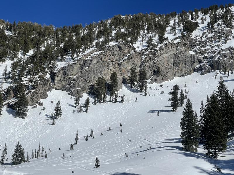
loose-wet avalanches in Argenta and a wet slab on Circle Awl (photo below) in Big Cottonwood.

Snow and Weather

This morning: Skies are clear and temperatures are 40° - 50° F, which is about 10° degrees warmer than yesterday morning. Winds are from the south and have increased overnight, with gusts in the 20's and 30's mph at the mid and upper elevations.

Temperatures are cool enough and, with clear skies, there should be a moderate refreeze of the snow surface this morning.

Today will feature sunshine and the warmest temperatures of the season with temperatures rising into the 40's and 50's F. The winds will be from the south/southwest and will average in the teens with gusts in the 20's mph along exposed mid-elevation ridgelines. Upper elevation wind speeds will average in the 20's mph with gusts in the mid and upper 30's mph.

Winds may limit the softening of the snow surface at the upper elevations.

Extended Outlook: Sunshine and warm temperatures this weekend, with increasing clouds Sunday. The week ahead features unsettled weather with chances for snow.

General Announcements

CLICK HERE FOR MORE GENERAL INFO AND FAQ

This information does not apply to developed ski areas or highways where avalanche control is normally done. This forecast is from the U.S.D.A. Forest Service, which is solely responsible for its content. This forecast describes general avalanche conditions and local variations always occur.

Observations and Avalanches

Backcountry Emergency Procedures

Instagram

Facebook

Get Forecast Email

Previous Forecasts

Contact via email

Submit Observation

Régions couvertes