

Bulletin d’avalanche

East Kakwa

Dec 6 – 7, 2023Avalanche Canada
Voir sur la carte
Archivé · expiré 3 years ago

Danger d’avalanche

Fri
Sat
Alpin
2 · Modéré
Limite forestière
1 · Faible
Sous la limite
1 · Faible

Points saillants

Wind will continue transporting recent snow and creating pockets of wind slabs.

Be cautious of buried obstacles, especially below treeline.

Problèmes avalancheux

  • Wind Slabs

    • Alpin
    • Limite forestière
    • Sous la limite forestière
    Probabilité
    Possible
    Taille
    1–1.5

    Watch for reactive pockets of wind-deposited snow near ridgetops. Be especially careful in sheltered areas at treeline, where a preserved layer of surface hoar has been showing reactivity lately.
Confidence

Moderate

Avalanche Summary

No new or recent avalanches have been reported in this region.

Please take the time to submit a MIN report if you venture into the backcountry.

Snowpack Summary

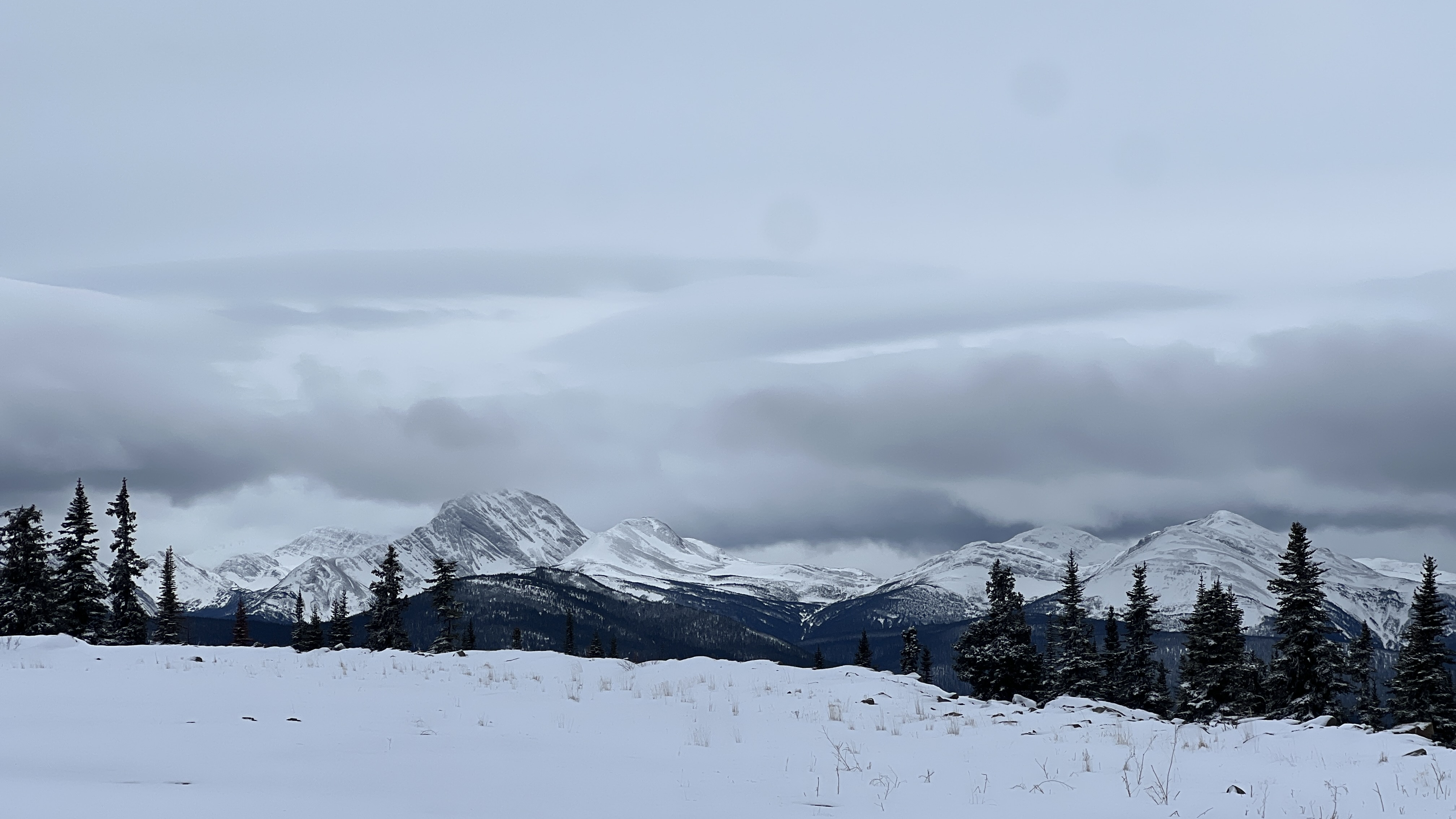
Recent snowfalls were transported by steady southerly winds at higher elevations. In sheltered areas, it is resting on a weak and shallow snowpack. Preserved surface hoar was reported to be reactive under the recent snow in sheltered openings at 1600 m.

The height of snow at treeline ranges from 25 to 70 cm. As you descend to lower elevations, snow depths decrease significantly.

Weather Summary

Tuesday night

Clear periods with isolated flurries. Southwesterly alpine winds gusting 60 km/h. Treeline temperature around -2 °C. Freezing level near 1400 m.

Wednesday

Mostly clear. No accumulation. Southwesterly alpine winds gusting 50 km/h. Treeline temperature around -4 °C. Freezing level near 1000 m and falling by evening.

Thursday

Clear. No accumulation. Westerly alpine winds southwest up to 35 km/h. Treeline temperatures around -6 °C. Freezing level at valley bottom.

Friday

Clear. No accumulation. Westerly alpine winds southwest up to 50 km/h. Treeline temperatures around -8 °C. Freezing level at valley bottom.

More details can be found in the Mountain Weather Forecast.

Terrain and Travel Advice

  • Watch for newly formed and reactive wind slabs as you transition into wind affected terrain.
  • Expect shallow snow cover that barely covers ground roughness.
  • Early season avalanches at any elevation have the potential to be particularly dangerous due to obstacles that are exposed or just below the surface.

Régions couvertes