

Bulletin d’avalanche

Provo

Utah Avalanche Center
Voir sur la carte

Danger d’avalanche

  • Alpin
  • Limite forestière
  • Sous la limite forestière
Périmé — ce bulletin a expiré 2 years ago. Vous consultez des conditions passées, pas le bulletin en cours.

Points saillants

Areas of a MODERATE avalanche danger exist on all aspects at the upper elevations and on mid-elevation aspects facing northwest through north and east where it is possible to trigger a hard slab avalanche of wind-drifted snow 1-2 feet deep. On northerly and east-facing slopes at the mid and upper elevations, triggering a wind slab avalanche may step down to a deeply-buried persistent weak layer 2-3 feet deep.

Problèmes avalancheux

  • Wind Slabs

    • Alpin
    • Limite forestière
    • Sous la limite forestière
    Probabilité
    Possible
    Taille
    2

    Strong winds Tuesday and Wednesday created dense, hard slabs of wind-drifted snow at the mid and upper elevations, and today's winds will create additional fresh wind drifts. These wind slabs can be found well down off of ridgelines and on all aspects, but more commonly on slopes facing north through east. These wind slabs formed on top of weak snow underneath and may continue to be sensitive today. Hard wind slabs allow you to get well out onto a slope before fracturing, often even above you.

    Although we don't yet know the details of Thursday's avalanche accident on the Park City ridgeline, I'm suspecting it involved a hard slab from recent wind drifting, and similar wind-drifted conditions can be found in the Provo mountains. Watch for cracking and/or smooth, rounded pillows of snow as an indication of likely wind-loading, as shown below.

  • Persistent Slabs

    • Alpin
    • Limite forestière
    • Sous la limite forestière
    Probabilité
    Unlikely
    Taille
    3

    Triggering an avalanche that fails in the buried facets and depth hoar down near the ground is becoming increasingly less likely and this avalanche problem is close to dormancy. Steep, thin rocky terrain is the most suspect where you can trigger an avalanche failing in the deeply-buried persistent weak layer, and any avalanche involving a recent wind slab may step down to these deeper buried layers.

    Trent's video below from his field day on Wednesday on North Timpanogos shows the poor snowpack structure that can be found throughout much of the Provo area mountains.

Special Announcement

Urgent battery replacement required for anyone who received batteries from one of our participating "Batteries for Beacons" shops. Please review the "Batteries for Beacons" replacement notice on our blog. Batteries distributed through our "Batteries for Beacons" program this year have shown to be inadequate length.

Join the UAC at Deer Valley on January 30th for the 2nd Annual Blizzard Ball Gala. Bruce Tremper, the Former Director of the Utah Avalanche Center, will deliver the keynote address.

Recent Activity

No recent avalanche activity has been reported from the Provo mountains, but to our north in the Salt Lake mountains, a skier was caught and carried in an avalanche just east of South Monitor Bowl along the Park City Ridgeline on Thursday. The avalanche was on a north-facing slope at 9,800' and a hard slab (likely wind-loaded) up to 2 feet deep and 200 feet wide. The skier sustained injuries, but fortunately the party was able to self-rescue. UAC staff will visit the site today and we'll provide additional details.

Trent was on North Timpanogos on Wednesday and you can read his excellent observation.

Observations and Avalanches

Snow and Weather

This Morning: Temperatures are 15-25° F and winds are from westerly directions and have increased overnight, gusting 20-30 mph at the mid and upper elevations

Today: Mostly cloudy skies with temperatures rising into the upper 20's F. Winds will be from the west, gusting to 30 mph at mid and upper elevations, Light snow will develop this afternoon.

Overnight and Into Saturday: Snowfall is expected - but just how much is uncertain - with (hopefully) 5-8 inches of new snow possible by late Saturday.

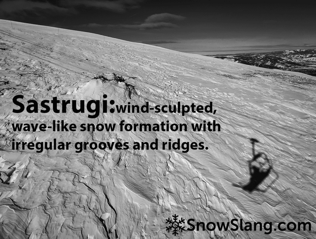
Strong winds Tuesday and Wednesday affected most snow surfaces at the mid and upper elevations, but travel is relatively easy across the sastrugi and some soft snow still can be found in wind-sheltered terrain.

General Announcements

CLICK HERE FOR MORE GENERAL INFO AND FAQ

This information does not apply to developed ski areas or highways where avalanche control is normally done. This forecast is from the U.S.D.A. Forest Service, which is solely responsible for its content. This forecast describes general avalanche conditions and local variations always occur.

Observations and Avalanches

Backcountry Emergency Procedures

SMS Notifications

Instagram

Facebook

Get Forecast Email

Previous Forecasts

Contact via email

Submit Observation

Régions couvertes