

Bulletin d’avalanche

Presidential Range

Mount Washington Avalanche Center
Voir sur la carte

Danger d’avalanche

Fri
Alpin
2 · Modéré
Limite forestière
2 · Modéré
Sous la limite
1 · Faible
Périmé — ce bulletin a expiré 6 years ago. Vous consultez des conditions passées, pas le bulletin en cours.

Points saillants

Heightened avalanche conditions may exist on middle and upper elevations terrain features due to wind drifted slabs. New wind slab avalanche activity will be closely tied to a potential increase in wind speed this afternoon. Human triggered avalanches will be possible in areas where this snow is blown into slabs or where it sluffs into slabs beneath steep terrain features. Evaluate snow and terrain carefully today and be mindful of an increase in wind speed. Avalanche danger today is MODERATE.

Problèmes avalancheux

  • Wind Slabs

    • Alpin
    • Limite forestière
    • Sous la limite forestière
    Probabilité
    Possible
    Taille
    1–2

    Small amounts of new snow with low wind speeds can build wind slabs that are touchy to human triggering. You’re likely to find a mix of surface layers in the upper snowpack varying from firm or hard snow to much softer, newly wind-deposited snow. The softer layer may crack and fail resulting in an avalanche that could be large enough to carry you and even bury you depending on the terrain below and the amount of snow entrained by the avalanche. New wind slabs may develop rapidly during gusts later today. Older small wind slabs may be distributed across northern aspects due to southerly winds on Tuesday night.
Avalanche Discussion

A high level of uncertainty exists in today’s forecast of the overall size and distribution of wind slabs. Yesterday’s hourly records from the summit show the bulk of the light density snow fell while the wind was from the south which would have built wind slabs in NW-NE facing terrain. There are no observations available to confirm the presence or absence of those wind slabs. New wind slabs developing later today as wind ramps up is more certain. Travel wisely and assess snow and weather conditions as you move around in the terrain.

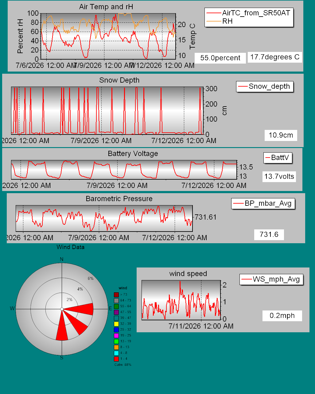
Details on daily snowfall totals, precipitation type, total depth of snow, and other information can be found on our page devoted to snow study plot data. Click here to check it out. Data collected hourly by the new automated weather station at Hermit Lake can be found hereand graphically here. Recent snowpack and avalanche observations can be found here. Your observations help improve our forecast product. Please take a moment and submit a photo or two and a brief description of snow and avalanche conditions that you see in the field.

The Harvard Cabin is open for camping only with no entry allowed inside the cabin.

Please Remember:

  • Safe travel in avalanche terrain requires training and experience. This forecast is just one tool to help you make your own decisions in avalanche terrain. You control your own risk by choosing where, when, and how you travel.
  • Avalanche danger may change when actual weather differs from the higher summits forecast.

For more information contact the US Forest Service Snow Rangers, AMC visitor services staff at the Pinkham Notch Visitor Center, or the caretakers at Hermit Lake Shelters or seasonally at the Harvard Cabin (generally December 1 through March 31). The Mount Washington Ski Patrol is also available on weekends beginning in February.

Régions couvertes