Avalanche forecast

Southeast Mountains

Crested Butte Avalanche Center
View on map

Avalanche danger

Sat
Alpine
2 · Moderate
Treeline
2 · Moderate
Below
2 · Moderate
Out of date — this forecast expired 3 years ago. You’re viewing past conditions, not the current bulletin.

Highlights

The avalanche danger will begin to slowly rise through the day on Friday. A loose wet avalanche problem may develop at elevations near and below 9,500ft thanks to warm temperatures and the potential for some rain/snow mix at lower elevations. Roof avalanches will also become a possibility at those lower elevations, for homes that are holding a thick deposit of snow on their roof. At upper elevations, accumulating snow will begin to develop small avalanche problems in the storm snow, primarily near ridgelines and where additional wind loading is occurring. Persistent slab avalanche problems exist in the terrain, though they have grown old and will be difficult to human trigger.

Avalanche problems

  • Wind Slabs

    • Alpine
    • Treeline
    • Below treeline
    Likelihood
    Possible
    Size
    1–1.5

    Small storm snow avalanche problems will slowly develop today as the snow accumulates. Where the southwest winds are transporting snow, small wind slabs will develop by this afternoon. Those will primarily be located at upper elevations on the lee sides of ridgelines. There should be some great storm skiing today, just keep an eye out for changing conditions and developing avalanche conditions if you continue riding through the afternoon. 

    Look for shooting cracks on small wind-loaded terrain features to help identify changing avalanche conditions. 

  • Persistent Slabs

    • Alpine
    • Treeline
    • Below treeline
    Likelihood
    Unlikely
    Size
    2–2.5

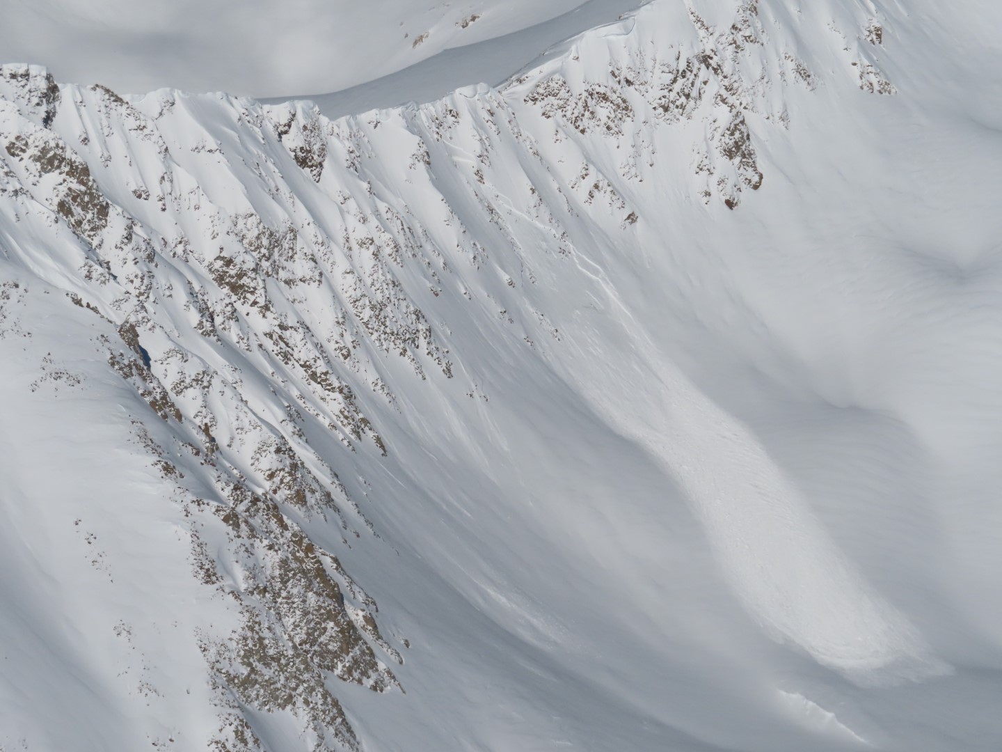
    Over the past few weeks, we have observed a relatively infrequent but continuous pattern of large avalanches or collapses failing on weak, faceted layers deeper in the snowpack.  Persistent slab activity has been most problematic on wind-loaded terrain at higher elevations, though isolated instabilities exist below treeline.  This avalanche problem has become unlikely to human trigger and will take just the right trigger point or a bigger load. It is still recommended to carefully assess the snowpack structure and give yourself a margin for error in handling this problem as there is a high degree of variability across the region and on different aspects.  Some examples of recent persistent slab activity include a large natural in Conundrum Creek on 3/4, a very large skier-triggered avalanche near Aspen Highlands on 3/2, a remotely triggered avalanche near Friends Hut on 3/1, and a natural step-down avalanche near Coffee Pot Pass around 3/1. 

    A large persistent slab that ran over the past weekend. Outside of the forecast area near Ashcroft.

Avalanche Discussion

Here we go folks, we have an interesting storm starting up. The avalanche danger will slowly rise today, before quickly increasing tonight. Let's start with today. The snow accumulating today will not stress the old snowpack. New snow avalanche problems will first develop in the NW Mountains where we have a better snow forecast. Generally, safe avalanche conditions can be expected to start the day, then it is recommended to keep your eye out for changing conditions this afternoon. The SE Mountains may see a few small wind slabs develop later this afternoon, but given the lower snow forecast for that area it shouldn't be too notable. 

The warm temperatures today may create some weird conditions for areas below 9,500ft. If you find a few inches of wet snow on the snow surface, then loose wet avalanches will become possible to trigger. The warm temperatures could wet the snow that is currently accumulating this morning, or we can't completely rule out that some areas see a rain-snow mix later today. 

Tonight is when things get really exciting. It will be dark out, so you'll have to trust us when we say there will be one heck of a blizzard when the cold front comes through. Peak instability will occur early on Saturday morning during the higher precipitation rates and increased winds. A natural avalanche cycle will occur during that time. If we are right in the middle of the snow forecast, then this will just be a cycle of mostly small and some large storm slabs. If we see the upper end of the snow forecast, and good accumulating snow with elevated winds continues into Saturday, then the avalanche danger will further rise to HIGH with a more notable avalanche cycle. This round of HIGH avalanche danger will not be driven by total snow or SWE accumulation like we are used to when we have our classic persistent slab avalanche problems. Instead, this round of HIGH danger will be driven by the loading intensity from precipitation rates and wind speeds.

Enjoy the start of the storm today. It sure is nice to have some accumulating snow again. Then before you head out tomorrow be sure to check the forecast and see just how this storm is shaping up.

Regions covered