The bottom line: You can very easily trigger a destructive wind slab near and above treeline or a large and reactive storm slab in sheltered terrain below. We don’t know when the avalanche danger will peak and this uncertainty should encourage you to dial it way back. Avoid all avalanche terrain above treeline.
Snow and Avalanche Discussion
It’s tough to say when the peak avalanche danger will occur Friday. We think it’s more likely in the overnight and early morning hours when we expect periods of higher snowfall intensity to occur. However, natural avalanche activity may linger into the day as lighter snowfall and winds continue to load slopes.
Regional Synopsis
January 16, 2019
Since Friday January 11, we’ve enjoyed a spell of generally nice weather in the mountains. This allowed for some great views, enjoyable outings, and lots of snow observations. A more active weather pattern beginning Thursday January 17th will bring this nice weather to a close.
During this time period, the snow surfaces around the area have changed dramatically. This forms the foundation for a few current trends we are seeing in the mountains.
New Snow Problems
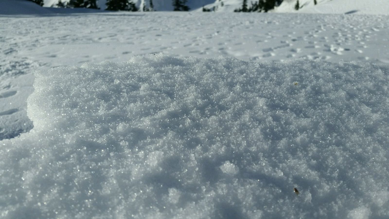
Reports from around the area indicate a wide variety of snow surface conditions prior to new snow on January 17th. We’ve heard about breakable crust, very icy surfaces, sugar facets, surface hoar, and rime. What snow surface you encounter can depend on aspect, elevations, and general location.
As a series of winter storms impact the area, how will the new snow bond to the old snow surface. This can be tricky to predict. As the snow starts to pile up make lots of shallow snow observations. Shovel tilt test, hand shears, and small slope test can all help you track how the new snow is bonding to the old snow at different aspects and elevations. Stop and take a look at where the snow is failing. Do you see large grains of snow? Do they look like feathers? Do the act like sugar? How far below the current snow surface are they?
Old Snow Problems
There are still lingering persistent weak layers in the eastern zones of the cascades. You are most likely to find weak older snow in areas further east from the Cascade crest where snowpacks are shallower, more variable, and generally weaker. In some locations weak snow near the ground can still be found. These basal facets have hung around all season. The only way to gain information about these old persistent weak layers is to get out your shovel and dig. Because of the size of our forecast zones and the variability in the snowpack, it's important to make snow observations as you travel. We’ll keep watching these old layers, but let us know what you see while you are in the mountains.
Avalanche Problems
Wind Slabs
We expect natural and human triggered avalanches large enough to bury, injure, and kill a person on Friday. Sustained moderate snowfall and sustained moderate to strong winds Thursday through Friday will add to existing wind slabs to form potentially very large and reactive wind slabs that you can easily trigger.
Mt. Hood Meadows Pro Patrol found that the 5-6” of snow that fell at high intensities Wednesday evening was blown into 12-18” reactive soft slabs that were running full path above 6,600 ft. These wind slabs were running on a thin layer of snow that sits above the most recent crust. The same interface or a new storm layer may be the culprit tomorrow.
With one storm exiting Friday morning and another arriving in the afternoon, we don’t know whether the avalanche danger will peak Thursday night or at some point during the day Friday, but that doesn’t change the travel advice: Stick to densely wooded or low-angle slopes well away from slopes where avalanches start, stop, or run.
Aspects:
All aspects.
Elevations:
Alpine, Treeline.
Likelihood: Very Likely
Expected Size: 2 - 3
Storm Slabs
The sustained snowfall through Friday will increase the size and likelihood of triggering a slab. Warming temperatures created a reactive slab below treeline from the snow that fell at Mt. Hood Meadows Wednesday night. While we don’t know which interfaces will be reactive and this weather-driven problem may peak overnight or during the day, but you will need to monitor this problem vigilantly. Dig down to the most recent crust and check all old and new snow interfaces. Use skin track tests and small test slopes to identify reactive snow and if heavy snow has fallen or continues to come down, retreat to lower-angle, supported slopes and non-avalanche terrain.