Avalanche Forecast
Issued: Jan 16th, 2019 6:00PM
The alpine rating is , the treeline rating is , and the below treeline rating is Known problems include Persistent Slabs.
Matt Primomo,
The Bottom Line: New snow over the old surface will be the main concern. Light snow accumulations probably won't be enough to create much avalanche danger on Thursday, but avalanche danger will increase overnight and into Friday. Icy crusts may create challenging travel conditions.
Summary
Snow and Avalanche Discussion
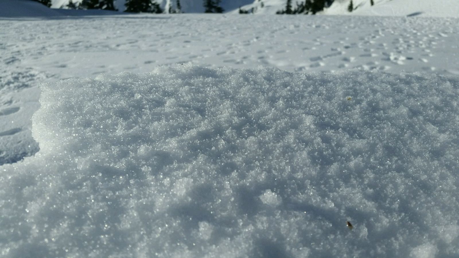
The current snow surface is a mix of facets, crusts, and wind packed snow. On shaded aspects, weak snow on the surface is widespread in the area. We don’t have a great handle on the upper elevation extent of the weak snow in this area, but one observer reports skiing on a ‘glass carpet’ of surface hoar between 4,000 and 5,500ft. Another notes ‘dramatic faceting’ near and below treeline on shaded aspects. Folks speak of facet sluffs, a sure sign of very weak snow. As the snow accumulates into Friday, this will set the stage for our next round of avalanche activity.
New snow accumulations will be light on Thursday. However, we anticipate that whatever new snow does accumulate won’t bond well with the old surface. Continue to use standard practices and protocols for winter travel in the mountains. This includes minimizing exposure to the avalanche hazard and carrying standard rescue gear. Avalanches are unlikely, but not impossible. If you find more than 6” of new snow has drifted in or accumulated, it’s time to consider slab avalanches again. It's important to keep in mind the consequences of an avalanche in extreme terrain or that of a non-avalanche related injury or gear malfunction in a remote setting.

Regional Synopsis
Wed 16th Jan 09:00
January 16, 2019
Since Friday January 11, we’ve enjoyed a spell of generally nice weather in the mountains. This allowed for some great views, enjoyable outings, and lots of snow observations. A more active weather pattern beginning Thursday January 17th will bring this nice weather to a close.
During this time period, the snow surfaces around the area have changed dramatically. This forms the foundation for a few current trends we are seeing in the mountains.
New Snow Problems
Reports from around the area indicate a wide variety of snow surface conditions prior to new snow on January 17th. We’ve heard about breakable crust, very icy surfaces, sugar facets, surface hoar, and rime. What snow surface you encounter can depend on aspect, elevations, and general location.
As a series of winter storms impact the area, how will the new snow bond to the old snow surface. This can be tricky to predict. As the snow starts to pile up make lots of shallow snow observations. Shovel tilt test, hand shears, and small slope test can all help you track how the new snow is bonding to the old snow at different aspects and elevations. Stop and take a look at where the snow is failing. Do you see large grains of snow? Do they look like feathers? Do the act like sugar? How far below the current snow surface are they?
Old Snow Problems
There are still lingering persistent weak layers in the eastern zones of the cascades. You are most likely to find weak older snow in areas further east from the Cascade crest where snowpacks are shallower, more variable, and generally weaker. In some locations weak snow near the ground can still be found. These basal facets have hung around all season. The only way to gain information about these old persistent weak layers is to get out your shovel and dig. Because of the size of our forecast zones and the variability in the snowpack, it's important to make snow observations as you travel. We’ll keep watching these old layers, but let us know what you see while you are in the mountains.
Problems
Persistent Slabs
Evaluate the snowpack carefully as a weak layers may still be found at mid and upper elevations. It would likely take a very large load to initiate an avalanche on these buried weak layers. Uncertainty is higher outside of the Washington Pass corridor regarding these layers and in any place where the snowpack is less than 4 feet deep near treeline.
There are two persistent weak layers of concern:
1. A layer of buried surface hoar may be found 1-3 ft below the snow surface. This is mainly a concern above 6000ft. Be suspicious of this layer the higher you go. Documented avalanches occurred on north through southeast aspects. Snowpack tests have continued to reveal sudden results in some areas on this layer.
2. A layer of weak sugary facets can be found near the ground, particularly near the eastern edge of the forecast zone. If an avalanche failed on this layer, it could be more than 4 feet deep. Use caution if you are traveling in areas where the snowpack is thinner.
Aspects: All aspects.
Elevations: Alpine, Treeline.
Likelihood
Expected Size
Valid until: Jan 17th, 2019 5:00PM