

Avalanche forecast

Salt Lake

Utah Avalanche Center
View on map

Avalanche danger

  • Alpine
  • Treeline
  • Below treeline
Out of date — this forecast expired 2 years ago. You’re viewing past conditions, not the current bulletin.

Highlights

The avalanche danger is LOW and normal caution is advised. On northerly-facing slopes at the mid and upper elevations, triggering an avalanche 1–3 feet deep on our PWL (persistent weak layer) is unlikely but not impossible. Take advantage of the beautiful weather to practice your companion rescue (beacon/probe/shoveling) techniques.

Avalanche problems

  • Persistent Slabs

    • Alpine
    • Treeline
    • Below treeline
    Likelihood
    Unlikely
    Size
    2

    There is 1-3 feet of snow on slopes facing west through north and east at the mid and upper elevations. Clear skies over the past week have weakened the snowpack and on many northerly slopes, the entire snowpack has become faceted and unsupportable. But in some spots, there remains a stronger, more cohesive slab on top of weak facets near the ground and it is on these slopes where the possibility of triggering an avalanche - although unlikely - remains.

    For now, the weak snow found on northerly aspects is not an issue, but it will become a problem once we receive a large enough load of new snow. Read more on this faceting process below.
Additional Info

Clear, cold conditions can be tough on the snowpack, and high pressure only makes things worse. The strong temperature and vapor pressure gradient transforms new snow crystals into sharp, angular, faceted grains. This is especially noticeable on shady aspects, where the snow feels almost like skiing or riding through sugar. But today’s snow surface will soon become tomorrow’s weak layer—our next Persistent Weak Layer. Read and watch more on the faceting process.

Special Announcement

The 17th Annual Utah Snow and Avalanche Workshop (USAW) is on Saturday, December 7th at the University of Utah, with an amazing lineup of speakers. Information and tickets are available here. We'll see you there!

Recent Activity

The last avalanche reported from the backcountry was on Saturday, November 30.

We continue to receive several excellent observations.

Snow and Weather

Nikki Champion's Week in Review - which summarizes significant snow and avalanche events over the past week - is now available. Make this indispensable resource a regular part of your planning this season.

This Morning: Skies are clear and temperatures are in the upper 20's F. Winds are from the north and light, gusting near 20 mph along the highest ridges.

Today: Sunny with temperatures rising into the upper 30's F. Winds will be from the north and remain light.

This Weekend: Sunny on Saturday with a cold front for Sunday. Snow (am I really saying that?) will develop Sunday night into Monday, with a few inches possible by late Monday.

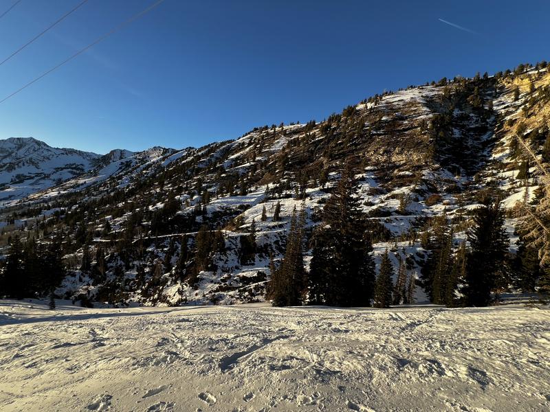
Current Snowpack Coverage: There is 1-3 feet of snow at the mid and upper elevations, with south-facing slopes looking moth-eaten as they melt out. East and west aspects are crusted, while northerly-facing slopes are almost entirely faceted and capped with surface hoar as shown in the photo below from one of our professional observers, Jenna Malone.

I encourage you to read a few essays from Drew - they are well worth your time!

General Announcements

CLICK HERE FOR MORE GENERAL INFO AND FAQ

This information does not apply to developed ski areas or highways where avalanche control is normally done. This forecast is from the U.S.D.A. Forest Service, which is solely responsible for its content. This forecast describes general avalanche conditions and local variations always occur.

Observations and Avalanches

Backcountry Emergency Procedures

Instagram

Facebook

Get Forecast Email

Previous Forecasts

Contact via email

Submit Observation

Regions covered