The Bottom Line: A wet and powerful winter storm will create a natural avalanche cycle Friday night. Very dangerous avalanche conditions remain throughout the day Saturday, above treeline, where travel in avalanche terrain is not recommended. Avoid all areas exposed to high-elevation start zones as avalanches originating on the upper mountain may run full path. Early in the day, you can trigger a loose wet avalanche on steep and unsupported slopes that will be large enough to injure or kill you.
Snow and Avalanche Discussion
Mt. Hood Meadows Pro Patrol reported a D1.5 (small to large) post-control release at 5100 ft on an ESE aspect that caught and carried a skier. The person was not injured. The slide ran on a layer of weaker snow just above the crust and produced a 12-18†crust triggered.
We know that avalanches have been triggered in the last few days (by skiers and patrol). We also know that Mt. Hood will receive a lot of water Friday night. This storm is unlikely to be the busted precipitation forecast from Thursday night as very heavy snow is already falling late Thursday afternoon. We expect this snowfall to change to rain, possibly up to 8,000 ft, before descending to 4,500 ft by late Saturday afternoon.
There remain subtle uncertainties that will impact the forecast greatly. How high will the snow line get and how long will it remain elevated? Will there be enough liquid water to trigger recent large or very large wind slabs above treeline? Will the heavier rain and snow linger into the morning hours and how quickly will the cooling occur? All this uncertainty combined with the impressive 2-2.5†water equivalent loading in 12 hours suggests that you will need to assess conditions thoroughly for yourself before stepping into avalanche terrain, particularly as you ascend the hill. When in doubt, stick to lower angle slopes free from areas where avalanches start, stop, and run. Keep in mind that your greatest hazards tomorrow may often be above you.
Regional Synopsis
January 16, 2019
Since Friday January 11, we’ve enjoyed a spell of generally nice weather in the mountains. This allowed for some great views, enjoyable outings, and lots of snow observations. A more active weather pattern beginning Thursday January 17th will bring this nice weather to a close.
During this time period, the snow surfaces around the area have changed dramatically. This forms the foundation for a few current trends we are seeing in the mountains.
New Snow Problems
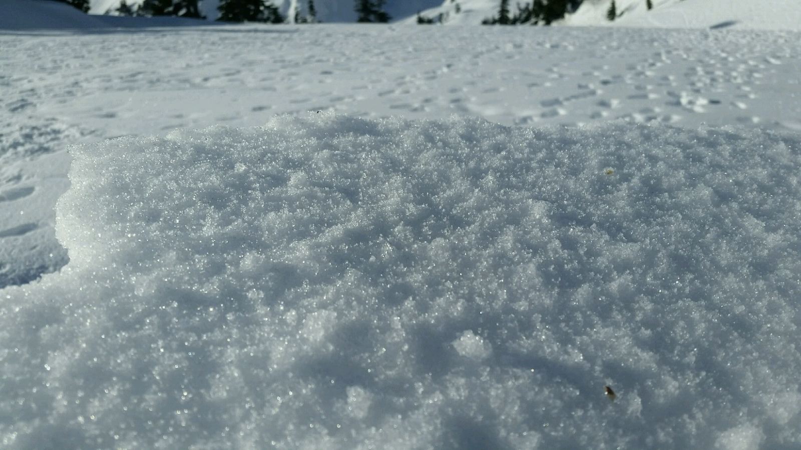
Reports from around the area indicate a wide variety of snow surface conditions prior to new snow on January 17th. We’ve heard about breakable crust, very icy surfaces, sugar facets, surface hoar, and rime. What snow surface you encounter can depend on aspect, elevations, and general location.
As a series of winter storms impact the area, how will the new snow bond to the old snow surface. This can be tricky to predict. As the snow starts to pile up make lots of shallow snow observations. Shovel tilt test, hand shears, and small slope test can all help you track how the new snow is bonding to the old snow at different aspects and elevations. Stop and take a look at where the snow is failing. Do you see large grains of snow? Do they look like feathers? Do the act like sugar? How far below the current snow surface are they?
Old Snow Problems
There are still lingering persistent weak layers in the eastern zones of the cascades. You are most likely to find weak older snow in areas further east from the Cascade crest where snowpacks are shallower, more variable, and generally weaker. In some locations weak snow near the ground can still be found. These basal facets have hung around all season. The only way to gain information about these old persistent weak layers is to get out your shovel and dig. Because of the size of our forecast zones and the variability in the snowpack, it's important to make snow observations as you travel. We’ll keep watching these old layers, but let us know what you see while you are in the mountains.
Avalanche Problems
Wind Slabs
As snow levels come back down the hill late Friday night through Saturday, fresh snowfall and moderate to strong winds will re-build large, dangerous, and sensitive slabs. You might trigger them or they might release naturally on slopes well above you. Avoid all avalanche terrain above treeline and slopes where avalanches start, run, or stop to stay safe.
Older large and dangerous wind slabs formed Wednesday through Thursday with periods of snowfall, but sustained moderate winds, gusting strong. Intense snowfall and winds Thursday night should build them further, but a change to rain in all elevation bands is likely to trigger a natural avalanche cycle. We think that many of the older unstable wind slabs will release overnight due to the liquid water, but if they don’t these slabs will be growing even larger.
Aspects:
All aspects.
Elevations:
Alpine, Treeline.
Likelihood: Very Likely
Expected Size: 2 - 2
Loose Wet
You are most likely to trigger a large loose wet avalanche early in the day when snow levels are still elevated and rain may still be falling on the slope. As of 5 PM Thursday evening, heavy snowfall continues to add to 10” of recent snow that sits above a firm crust. Rain will destabilize this surface snow layer and loose wet avalanches will be big enough to injure or kill you as it may scour deeply down to the crust.