The bottom line: Wet snow avalanche problems will continue below 6000 feet Wednesday. Natural and human triggered loose wet avalanches are likely on very steep slopes. More dangerous and unpredictable wet slab avalanches are possible in areas that receive heavy rainfall. Remember, we don't have any specific snowpack observations from Hurricane Ridge during the government shutdown, so you will need to account for the extra uncertainty before entering avalanche terrain.
Avalanche and Snowpack Discussion
Following the 1/3 rain event that likely formed a thick crust in the Olympics, Hurricane Ridge picked up nearly 2 feet of snow over the last few days. These snowfall gains will take a step back as rain and wind impact elevations below 6000' through Wednesday afternoon. Avalanche problems began shifting from new snow to wet snow concerns late Tuesday night. This trend will continue on Wednesday.
Right now we are forecasting without direct snowpack and avalanche observations from the Hurricane Ridge area due to the government shutdown. If you travel to the Olympic Mountains, please help your local forecast by submitting an observation (https://www.nwac.us/observations/submit/). We haven’t received updated snowpack information for nearly one month.
Forecast schedule
For the 2018-19 winter season, avalanche hazard ratings will be issued for the Olympics Friday through Sunday and during holidays. We are not issuing ratings currently due to the government shutdown.
General snowpack and weather summaries will be available on days that the Hurricane Ridge road is closed.
Regional Synopsis
January 7, 2019
This latest round of storms in early January continues to highlight some of this season’s region-wide themes in our snowpack. I’d describe them as Bottom to Top, North to South, and East to West. Let’s take a look at each of these.
Bottom to Top: In general, this winter has been on the warm side in the Cascades. Nowhere is that more evident than in the lack of low elevation snow. Heavy rain events continue to wash-away and thoroughly wet the lower elevation snowpack. In most regions, you will see a substantial increase in the height of snow from low elevations (3000 ft), to mid elevations (4500 ft), and again at upper elevations (5500/6000 ft). Above the typical rain lines (5000-6000 ft) a deep and cold mid-winter snowpack exists.
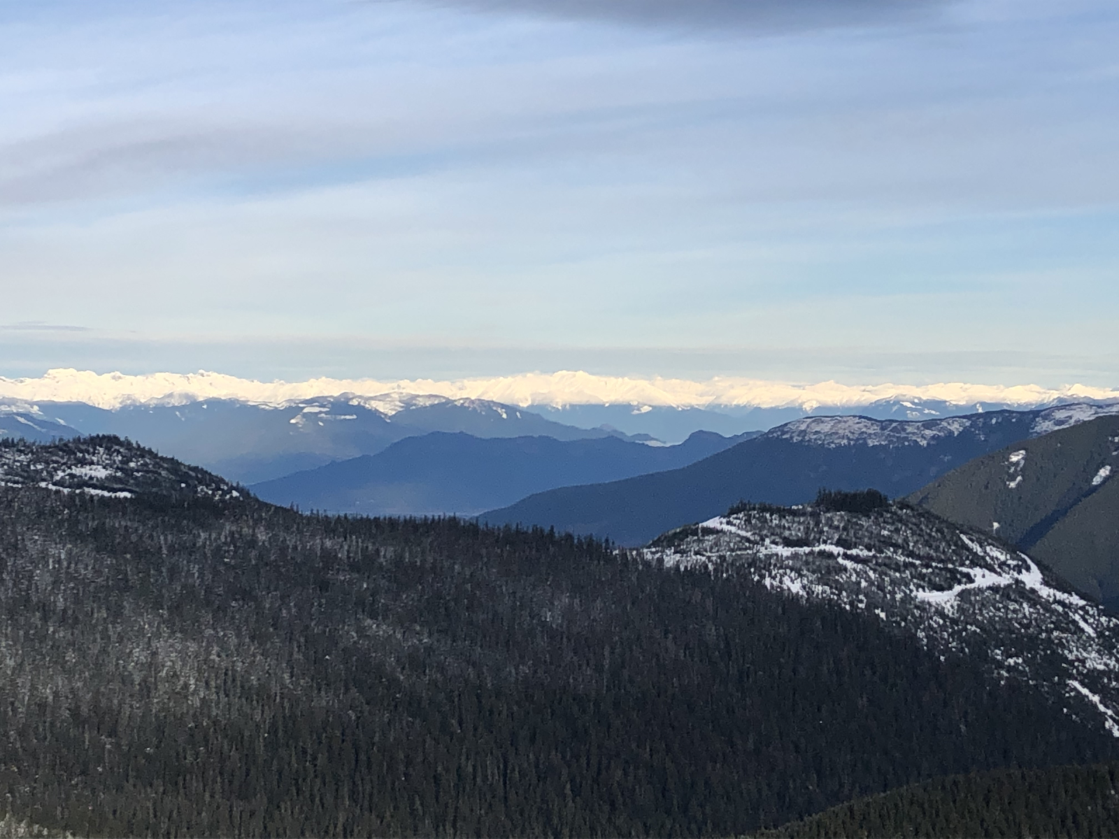
Jan 5, 2019: The dark timber in the Coast Range highlights the thin snowpack at lower elevations and the deeper winter-like snowpacks near and above treeline: Photo: Simon Trautman
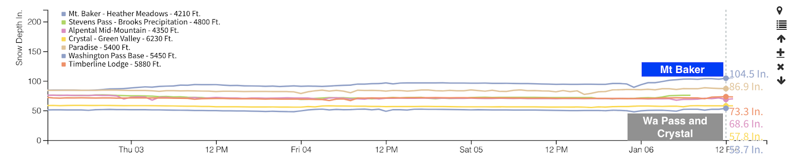
North to South: With few exceptions, this season’s storm tracks have favored the North Cascades. Sunday, Mt Baker’s Heather Meadows weather station passed 100 inches of snow on the ground. A quick look around the state’s weather stations demonstrates just how deep this snowpack is. Most other locations are reporting between 50 and 75 inches. The massive amounts of snow for the northern forecast zones are reflected in several impressive avalanche cycles spread out over the last month.
NWAC weather station graph of the height of snow on the ground. Mt Baker passed the 100-inch mark Sunday.
East to West: Several stacked persistent weak layers have been buried in the eastern forecast zones. This isn’t unusual, but it is noteworthy. The thickness of the slabs over these weak layers can vary greatly. Closer to the Cascade Crest, the deep snowpack may more closely resemble Stevens or Snoqualmie Passes. Further east, shallower snowpacks and significant variability are keeping snowpack assessment tricky.
Canadian sized surface hoar found buried by 18†of snow in Icicle Creek above Leavenworth on December 31st: Photo by Matt Primomo.
So what now? Well, on January 3 and 4 a high elevation rain event impacted areas from Mt Baker to Mt Hood. In many locations, this has created a firm and thickening crust. In these locations, this new crust is limiting the impacts of any deeper weak layers. In locations that didn’t receive as much rain like WA Pass, Mission Ridge, Crystal Mt, and White Pass, how the small amount of rain impacted the mid and lower snowpacks remain to be seen.
Rain and rime crust at 6,500ft above Gallagher Head Lake in the East Central Zone, Jan 5th. This layer was 3 inches thick in this location. Matt Primomo photo.
One thing is for sure, we’re not even a month into the winter season, there’s a lot more winter to come.