The bottom line: Significant new snow and increasing wind may produce a dramatic rise in avalanche danger in the eastern Olympics as the new snow forms a slab on top of weak snow surfaces or may bond poorly to a crust. If you identify a slab >6” thick above a layer of weak snow or poorly bonding to a crust, expect avalanches propagate widely on slopes steeper than 30 degrees. In the Hurricane Ridge area where significantly less snowfall is anticipated, shallow wind-blown drifts or wind slabs may develop.
Snow and Avalanche Discussion
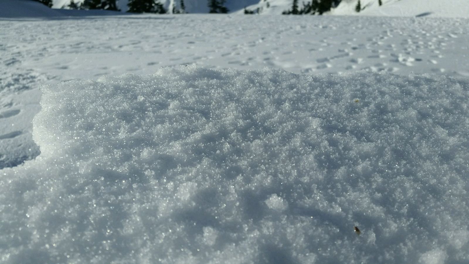
Nearly a week of fair weather and clear skies have created a variety of snow surfaces in the Olympic mountains have created a variety of snow surfaces. Very warm temperatures formed crusts on a variety of aspects. We suspect that higher elevation shaded aspects formed weak snow surfaces (potentially surface hoar or facets). As of Wednesday evening, no new sits on these surfaces, but that is about to change.
Moderate to heavy snow is anticipated for the eastern Olympics where upwards of 1 ft of snow may fall during the day on Thursday, near and above treeline. New snow and wind loading will have to be monitored closely as it will sit on weak snow or crusts. A rain/snow lines a up to 6,000 ft Wednesday night may help to remove some of the weak surface snow Thursday night in some locations, but don’t assume that rain has fallen in your area until you check for the wet snow as snow levels will gradually drop during the day on Thursday.
If you experience snow deeper than 6â€, you will need to assess the bonding of the new snow to the old interfaces on aspects and elevations comparable to slopes you intend to ski or ride; where that slab sits on weak snow, avoid unsupported slopes and all avalanche terrain greater than 30 degrees.
A rain shadow on the north side of the Olympics may mean that little if any new snow problems will exist in the terrain. Here, expect difficult travel conditions due to breakable or firm crusts.
Shallow snowpacks have receded significantly and a recent report suggests you may not find much, if any, snow below 5,000 ft in many of the drier parts of the Olympics. Right now we are forecasting without specific snowpack and avalanche observations from the Hurricane Ridge area due to the government shutdown. If you travel to the Olympic Mountains, please help your local forecast by submitting an observation. We haven’t received updated snowpack information for nearly one month.
Forecast schedule
For the 2018-19 winter season, avalanche hazard ratings will be issued for the Olympics Friday through Sunday and during holidays. We are not issuing ratings currently due to the government shutdown.
General snowpack and weather summaries will be available on days that the Hurricane Ridge road is closed.
Regional Synopsis
January 16, 2019
Since Friday January 11, we’ve enjoyed a spell of generally nice weather in the mountains. This allowed for some great views, enjoyable outings, and lots of snow observations. A more active weather pattern beginning Thursday January 17th will bring this nice weather to a close.
During this time period, the snow surfaces around the area have changed dramatically. This forms the foundation for a few current trends we are seeing in the mountains.
New Snow Problems
Reports from around the area indicate a wide variety of snow surface conditions prior to new snow on January 17th. We’ve heard about breakable crust, very icy surfaces, sugar facets, surface hoar, and rime. What snow surface you encounter can depend on aspect, elevations, and general location.
As a series of winter storms impact the area, how will the new snow bond to the old snow surface. This can be tricky to predict. As the snow starts to pile up make lots of shallow snow observations. Shovel tilt test, hand shears, and small slope test can all help you track how the new snow is bonding to the old snow at different aspects and elevations. Stop and take a look at where the snow is failing. Do you see large grains of snow? Do they look like feathers? Do the act like sugar? How far below the current snow surface are they?
Old Snow Problems
There are still lingering persistent weak layers in the eastern zones of the cascades. You are most likely to find weak older snow in areas further east from the Cascade crest where snowpacks are shallower, more variable, and generally weaker. In some locations weak snow near the ground can still be found. These basal facets have hung around all season. The only way to gain information about these old persistent weak layers is to get out your shovel and dig. Because of the size of our forecast zones and the variability in the snowpack, it's important to make snow observations as you travel. We’ll keep watching these old layers, but let us know what you see while you are in the mountains.