The bottom line: A strong storm will impact Snoqualmie Pass Friday night and Saturday morning. When we get new snow and rain, it’s a good time to be patient and stay off of slopes greater than 35 degrees where avalanches can start. As temperatures cool, the avalanche danger will slowly decrease making it harder to trigger avalanches.
Snow and Avalanche Discussion
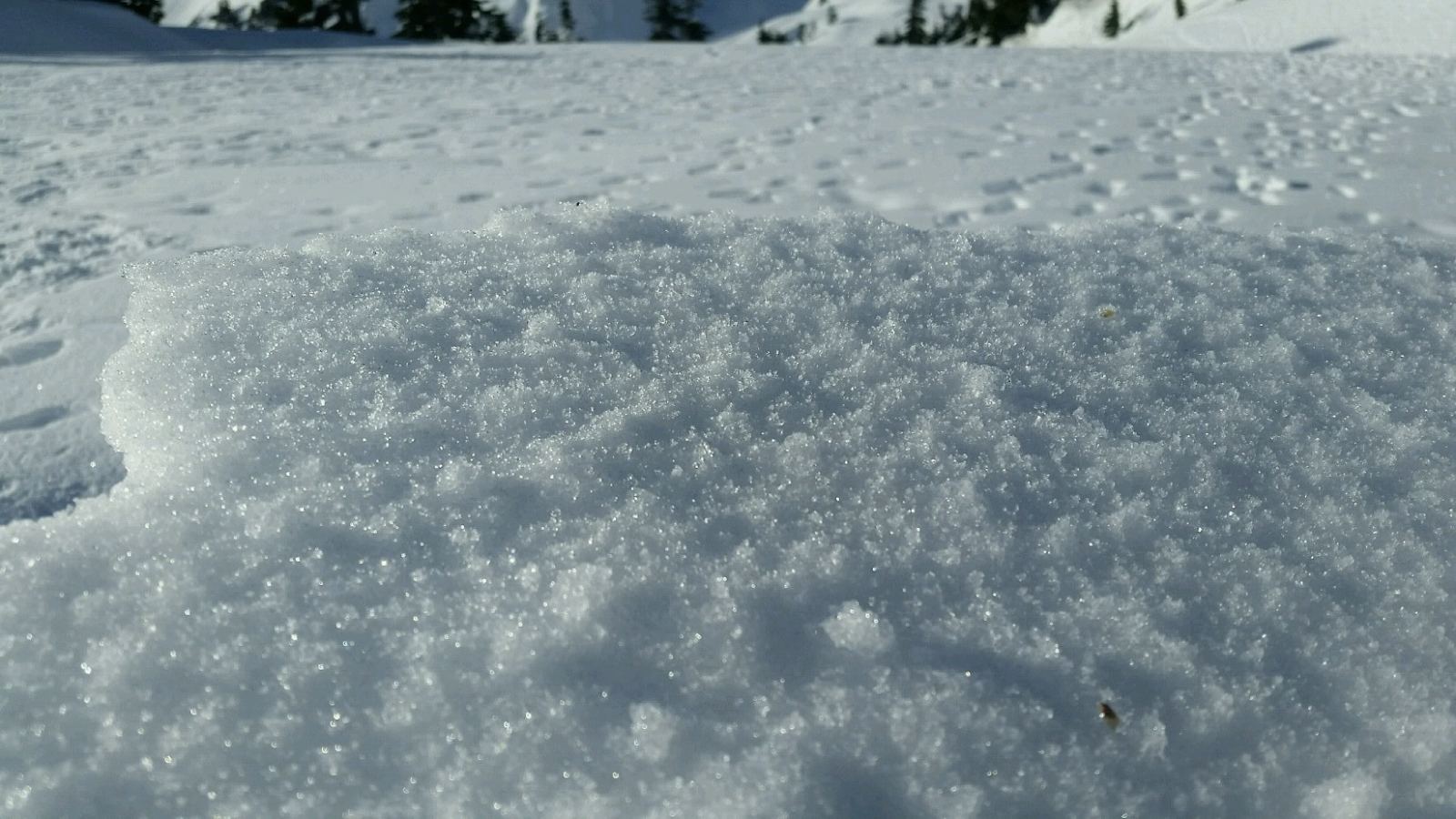
Friday’s snow seemed to just stick into place in the Snoqualmie Pass backcountry. We were able to find a few subtle weak layers within the storm snow, and these layers kept us off of steeper open slopes. At the base of the new snow, you may find surface hoar, facets, or rime just above a melt-freeze crust. We found these buried weak layers in the eastern section of the Snoqualmie Pass zone Thursday. It’s hard to say exactly where these layers may live, but we think they are more prevently just east of the Pass.
Below 4000 feet, we saw several natural loose wet avalanche occurring on very steep, and rocky slopes. While this wasn’t surprising, the wet surface snow did get our attention.
On Saturday, we again expect new weak layers within the most recent storm snow and wet surface snow at lower elevations. Avalanche danger will likely peak overnight as the heaviest and warmest precipitation impacts the forecast area. During the day Saturday, avalanche danger slowly decline as temperatures cool and showers decrease.
Regional synopsis
January 16, 2019
Since Friday January 11, we’ve enjoyed a spell of generally nice weather in the mountains. This allowed for some great views, enjoyable outings, and lots of snow observations. A more active weather pattern beginning Thursday January 17th will bring this nice weather to a close.
During this time period, the snow surfaces around the area have changed dramatically. This forms the foundation for a few current trends we are seeing in the mountains.
New Snow Problems
Reports from around the area indicate a wide variety of snow surface conditions prior to new snow on January 17th. We’ve heard about breakable crust, very icy surfaces, sugar facets, surface hoar, and rime. What snow surface you encounter can depend on aspect, elevations, and general location.
As a series of winter storms impact the area, how will the new snow bond to the old snow surface. This can be tricky to predict. As the snow starts to pile up make lots of shallow snow observations. Shovel tilt test, hand shears, and small slope test can all help you track how the new snow is bonding to the old snow at different aspects and elevations. Stop and take a look at where the snow is failing. Do you see large grains of snow? Do they look like feathers? Do the act like sugar? How far below the current snow surface are they?
Old Snow Problems
There are still lingering persistent weak layers in the eastern zones of the cascades. You are most likely to find weak older snow in areas further east from the Cascade crest where snowpacks are shallower, more variable, and generally weaker. In some locations weak snow near the ground can still be found. These basal facets have hung around all season. The only way to gain information about these old persistent weak layers is to get out your shovel and dig. Because of the size of our forecast zones and the variability in the snowpack, it's important to make snow observations as you travel. We’ll keep watching these old layers, but let us know what you see while you are in the mountains.
Avalanche Problems
Storm Slabs
It’s hard to say at what elevation you will encounter storm slabs. Fluctuating freezing levels and periods of heavier snowfall rates will likely create weakness within the new storm snow. Storm slabs will be most reactive in the morning hours, at higher elevations, and in locations where the wind drifts snow. As snow showers decrease and temperatures cool, storm slabs will slowly stabilize. This is a good time to be patient and allow these storm slabs to gain strength. Stay off of open slopes greater than 35 degrees where you can trigger avalanches within the new snow. You can look for unstable storm snow as you travel. Small slope test, hand shears, and hand pits, can help you identify weaknesses within the new snow.
Aspects:
All aspects.
Elevations:
All elevations.
Likelihood: Likely
Expected Size: 2 - 2
Loose Wet
Below the main rain-snow line, you will find wet snow surfaces. This lower elevation snowpack is well situated to handle more water. That said, when we have wet snow on the surface, you may trigger loose avalanches on steeper slopes. These small avalanches can be a problem if they catch you off guard, or carry you into a terrain trap, such as gullies, creeks, and trees. As temperatures cool and the snow surface dries, these avalanches will become less and less likely.