The Bottom Line: A significant winter storm will impact the area Thursday night and Friday causing the avalanche danger to increase substantially and create very dangerous conditions. This is a good time to avoid any location where avalanches can start, run, and stop.
Snow and Avalanche Discussion
We've gone from low danger to high danger above treeline in 24 hours. It’s tough to say when the peak avalanche danger will occur Friday. We think it’s more likely in the overnight and early morning hours, when we expect periods of higher snowfall intensity to occur. However, natural avalanche activity may linger into the day depending on how the weather pattern evolves.
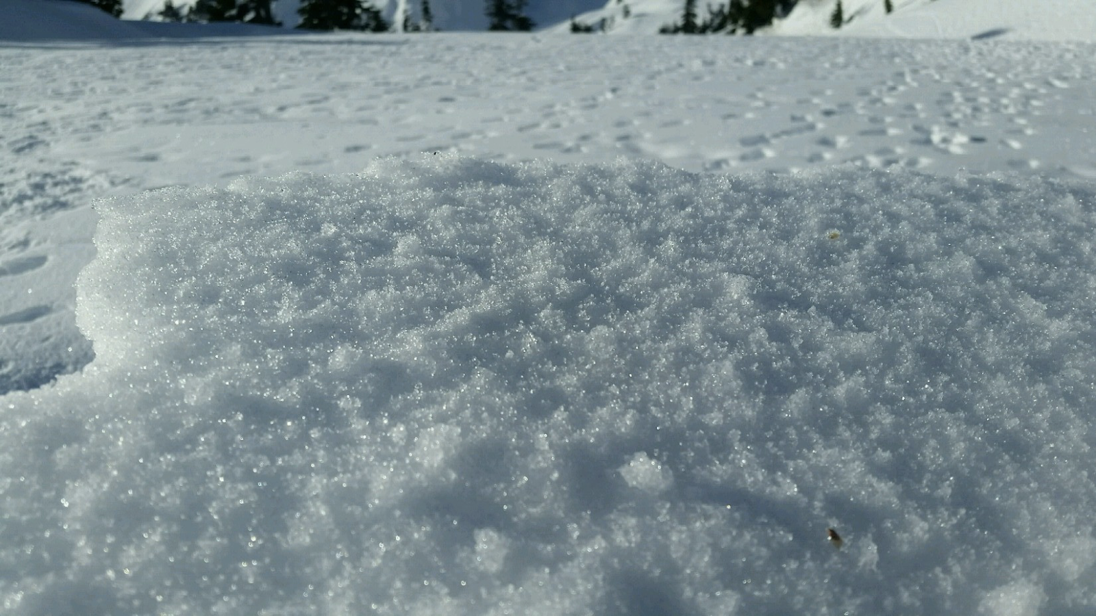
In some areas the new snow is falling on a weak snow surface. We’ve had reports of surface hoar, sugary facets, and firm crusts on the snow surface prior to this storm. We don’t know yet if these layers will become active and produce avalanches, but they should be on your mind if you enter the mountains.
Weak sugary facets on the surface prior to this storm: Photo: Lee Lazzara