The Bottom Line: You can trigger avalanches in recent storm snow, especially where the wind has drifted fresh slabs. Steer around wind drifted features and avoid steep roll-overs and convex terrain. Dig in the snow to check old snow surfaces for potential weak layers.
Snow and Avalanche Discussion
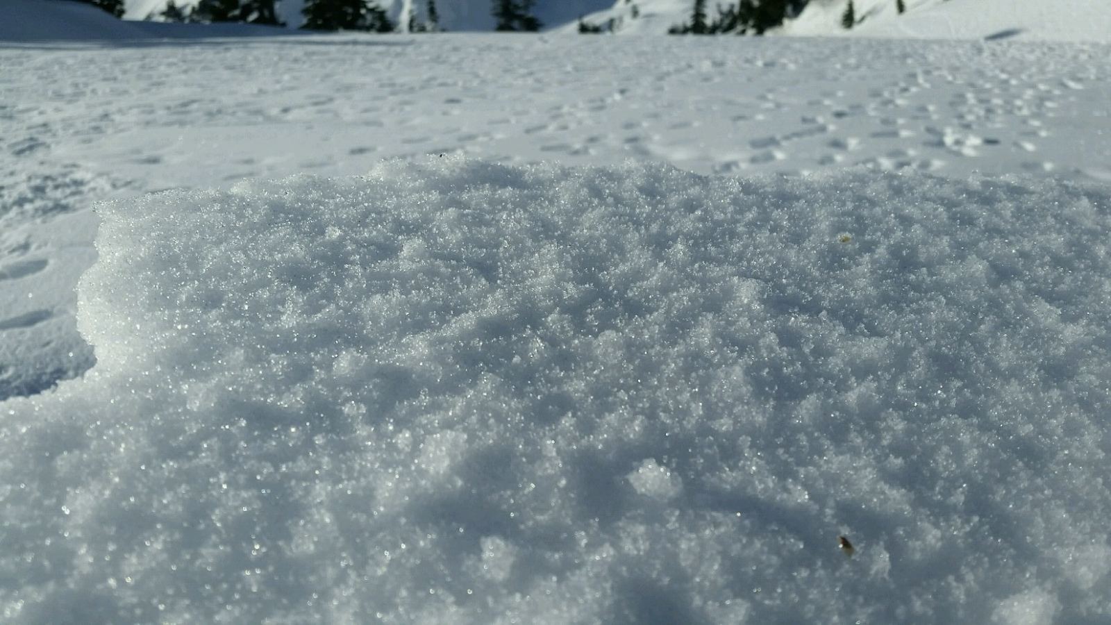
Over 6 inches of heavy snow fell overnight Friday into Saturday. The storm snow was primed for slab avalanches with classic strong over weak layering. On Saturday, avalanche professionals triggered small avalanches in the new snow near and below treeline. Many were in wind affected areas and some propagated widely but only 6-8 inches deep. Small storms since the 17th formed a few interfaces in the top 1-2 feet of the snowpack. Mostly these will disappear within a day or two.
For Sunday, expect minimal wind and light snow accumulation. Concerns for avalanches will be primarily in the recent snow, but there are some old snow surfaces to watch. Depending location, aspect, and elevation, the recent snow is sitting on crusts, surface hoar, or facets. You can use snowpack tests to assess older weak layers 1-3 feet below the surface. If the sun comes out on Sunday afternoon, expect small loose avalanches on sunny slopes.
Regional Synopsis
January 16, 2019
Since Friday, January 11, we’ve enjoyed a spell of generally nice weather in the mountains. This allowed for some great views, enjoyable outings, and lots of snow observations. A more active weather pattern beginning Thursday, January 17th will bring this nice weather to a close.
During this time period, the snow surfaces around the area have changed dramatically. This forms the foundation for a few current trends we are seeing in the mountains.
New Snow Problems
Reports from around the area indicate a wide variety of snow surface conditions prior to new snow on January 17th. We’ve heard about breakable crust, very icy surfaces, sugar facets, surface hoar, and rime. What snow surface you encounter can depend on aspect, elevations, and general location.
As a series of winter storms impact the area, how will the new snow bond to the old snow surface? This can be tricky to predict. As the snow starts to pile up, make lots of shallow snow observations. Shovel tilt test, hand shears, and small slope test can all help you track how the new snow is bonding to the old snow at different aspects and elevations. Stop and take a look at where the snow is failing. Do you see large grains of snow? Do they look like feathers? Do they act like sugar? How far below the current snow surface are they?
Old Snow Problems
There are still lingering persistent weak layers in the eastern zones of the cascades. You are most likely to find weak older snow in areas further east from the Cascade crest where snowpacks are shallower, more variable, and generally weaker. In some locations, weak snow near the ground can still be found. These basal facets have hung around all season. The only way to gain information about these old persistent weak layers is to get out your shovel and dig. Because of the size of our forecast zones and the variability in the snowpack, it's important to make snow observations as you travel. We’ll keep watching these old layers, but let us know what you see while you are in the mountains.
Avalanche Problems
Wind Slabs
Gusty west winds formed slabs at all elevations, even open slopes below treeline. Watch for stiff, wind-textured snow. Expect cross-loading below ridges. Avoid obvious pillows and drifts on leeward sides of ridges. You may also be able to trigger avalanches in the new snow in sheltered terrain. Use small test slopes and quick tests to check the bonding of the snow in the top 2 feet of the snowpack. Avoid steep roll-overs, convexities, and unsupported, rocky slopes. These trigger points are features where you could start an avalanche more easily.