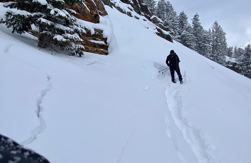
Avalanche forecast

Ogden

Utah Avalanche Center
View on map

Avalanche danger

  • Alpine
  • Treeline
  • Below treeline
Out of date — this forecast expired 4 years ago. You’re viewing past conditions, not the current bulletin.

Highlights

The avalanche danger will rise to MODERATE on mid and upper elevation slopes facing east through south and west with natural and human-triggered wet, loose avalanches possible.

On isolated mid and upper elevation slopes facing west through north and east there is a MODERATE danger for triggering soft slabs failing on a buried persistent weak layer.

Avalanche problems

  • Loose Wet

    • Alpine
    • Treeline
    • Below treeline
    Likelihood
    Likely
    Size
    2

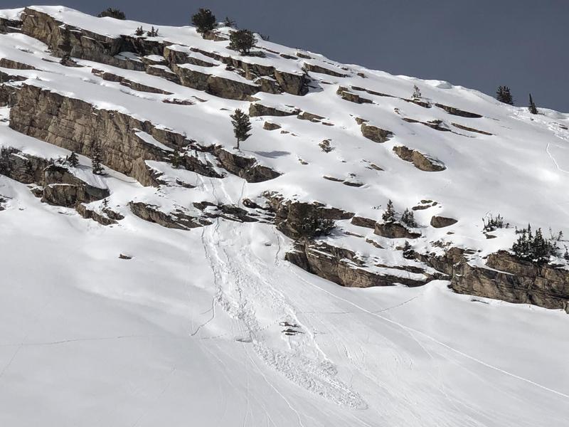
    The cold, dry snow from last week was slowly introduced to warming over the weekend: it was first touched by sunshine on Saturday and slightly warmer temperatures and cloudy skies on Sunday. Therefore, today's strong sunshine and temperatures rising above freezing won't shock the snow surface, but there will be some avalanches involving wet, loose snow on aspects facing east through south and west. Wet rollerballs and loose sluffs are indications the snow surface is warming and that it's time to move to more northerly aspects.

  • Persistent Slabs

    • Alpine
    • Treeline
    • Below treeline
    Likelihood
    Possible
    Size
    1

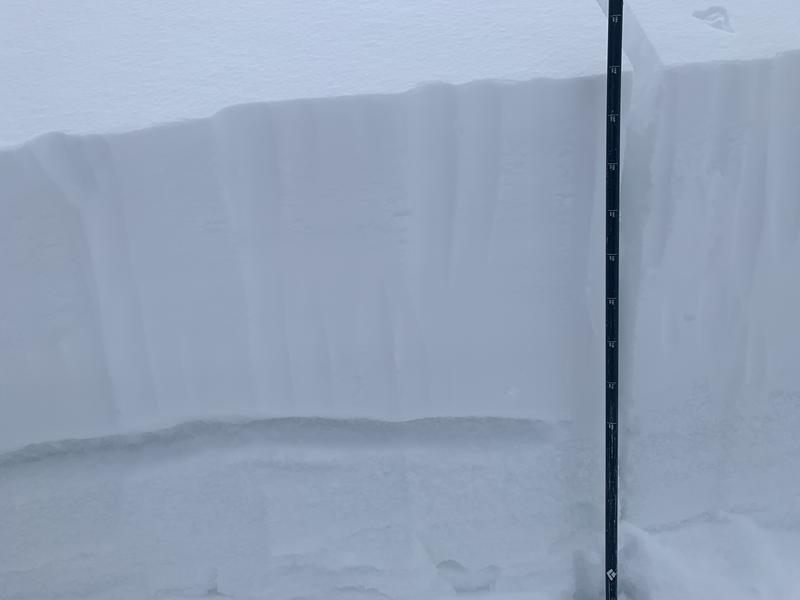
    The January/February drought resulted in weak, faceted snow along many snow surfaces and it was covered by the 6-12" of snow and wind-drifting from last week. Avalanches failing on this persistent weak layer are still possible on slopes facing northwest/north/east, but require need a denser, more-cohesive slab (i.e. wind-drifted) to avalanche. Cracking and collapsing are signs this structure exists. Avalanches failing on this PWL (persistent weak layer) can be triggered remotely (from a distance).

    Before committing to a steeper slope on these W/N/E aspects, evaluate the snowpack and avoid slopes that have the structure of a stronger, denser slab on top of the buried PWL as shown in this photo.

Recent Activity

Other than minor wet-loose sluffing, no backcountry avalanches were reported from Sunday.

Snow and Weather

Currently: Skies are clear with temperatures in the upper 20's F. Winds are from the west and light, with gusts in the teens along the most-exposed upper ridgelines.

For today, temperatures into the mid and upper 30's F at low and mid-elevations and right around freezing at the upper elevations, although today's clear skies and strong sunshine will likely make it feel much warmer. Winds will remain light with gusts in the 20's mph along the highest exposed ridges and summits.

Temperatures will warm through midweek with a trough possible by the end of the week.

General Announcements

Who's up for some free avalanche training? Get a refresher, become better prepared for an upcoming avalanche class, or just boost your skills. Go to https://learn.kbyg.org/ and scroll down to Step 2 for a series of interactive online avalanche courses produced by the UAC.

CLICK HERE FOR MORE GENERAL INFO AND FAQ

This information does not apply to developed ski areas or highways where avalanche control is normally done. This forecast is from the U.S.D.A. Forest Service, which is solely responsible for its content. This forecast describes general avalanche conditions and local variations always occur.

Observations and Avalanches

Backcountry Emergency Procedures

Instagram

Facebook

Get Forecast Email

Previous Forecasts

Contact via email

Submit Observation

Regions covered