

Avalanche forecast

Southeast Mountains

Crested Butte Avalanche Center
View on map

Avalanche danger

Sat
Alpine
2 · Moderate
Treeline
2 · Moderate
Below
2 · Moderate
Out of date — this forecast expired 5 years ago. You’re viewing past conditions, not the current bulletin.

Highlights

Backcountry skiers and riders have been stepping into more aggressive terrain choices this week as the likelihood of triggering a persistent slab avalanche has become unlikely. The avalanche danger has been held at MODERATE for two primary reasons. 1) If you do manage to find the sweet spot and trigger an avalanche it will be large and destructive. 2) The travel advice requires you to pay attention to trigger points and where the snowpack quickly changes from deep to shallow. Those trigger points are where you would be more likely to initiate an avalanche that could then propagate widely into a deeper section of the slope. If you don't want to play the game, then the low-angle terrain has been riding fast and fun. 

Avalanche problems

  • Persistent Slabs

    • Alpine
    • Treeline
    • Below treeline
    Likelihood
    Unlikely
    Size
    2–3

    Persistent slabs have become a low likelihood but high consequence concern on the northern half of the compass, where faceted weak layers lurk near the ground.   You are most likely to impact these layers and trigger a dangerous avalanche where slabs are thinner.  Choose terrain with a deep, uniform snowpack to reduce your risk.  Be cautious near rock bands and in alpine terrain where winds have created variable snow depths.  Slopes that avalanched early in the holiday cycle or slopes in the shallowest parts of the Southeast Mountains also have thinner slabs that could be more easily triggered.  


    A persistent slab avalanche on an east aspect of Hunter Hill. This avalanche released at the start of the new year.
Avalanche Discussion

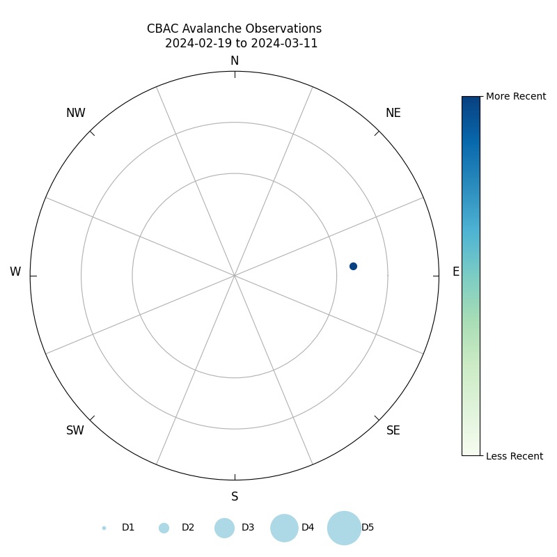
Have a quick look at the Avalanche Rose (here). You'll notice that the large to very large avalanches are on the less recent end of the spectrum. We haven't observed avalanches releasing deeply into old snow layers since the end of the holiday avalanche cycle or about 2 weeks ago. All the more recent avalanche activity over the last 2 weeks has been in the form of wind slabs or storm slabs and non-persistent issues. More and more data is supporting a bump to LOW avalanche danger across the board. A steeping out mindset is appropriate right now, but avalanche forecasters are still not ready to call the conditions a full open season and generally safe. This recent avalanche in the northern San Juans is well outside of our area, but it is similar to the avalanche conditions that we face. There appear to be many tracks in the area, conditions probably felt close to L1, then somebody found the sweet spot and produced a notable avalanche.

The weather forecast is uneventful and we will continue to see the threat of triggering a deep/persistent avalanche slowly decline. More time will allow forecaster confidence to continue improving and more areas will see a drop to L1 avalanche danger. Big picture we are at the lower end of the avalanche danger scale. Figure out what level of risk you are willing to accept and get out there. There is some great snow to ride on both steep slopes and low-angle slopes.  

Regions covered