Two Thumbs

New Zealand · New Zealand Avalanche Advisory · parte de New Zealand

Ver en el mapa

Peligro de aludes

High Alpine · above 1,800 m
2 · Moderado
Alpine · 1,200 m–1,800 m
2 · Moderado
Sub Alpine · below 1,200 m
Sin grado

Boletín emitido 10 hours ago · válido hasta el Sep 21

Publicado por New Zealand Avalanche Advisory

Boletín vigente

Lo esencial

Watch for possible wet avalanche activity as the day heats up.

Sliding hazard is also a concern for Monday.

Problemas de aludes

  • Loose Wet

    • Todas las altitudes
    Probabilidad
    Possible
    Tamaño
    2

    A very warm day is forecast for Monday. It could be warm enough to produce loose wet avalanches even on south facing terrain. Be particularly careful on SW facing slopes that hold plenty of snow, but will be getting sun in the late afternoon.

    Be aware that even a small avalanche can be consequential if it carries you into nasty terrain.

  • Wind Slabs

    • Todas las altitudes
    Probabilidad
    Unlikely
    Tamaño
    1

    North westerly winds will distribute what little wind transportable snow that remains into windslabs on terrain facing E, SE and S.

    Take care to identify where wind-loading has occurred and treat these areas with caution. Hazard will be greater at higher elevations.

Recent Avalanche Activity

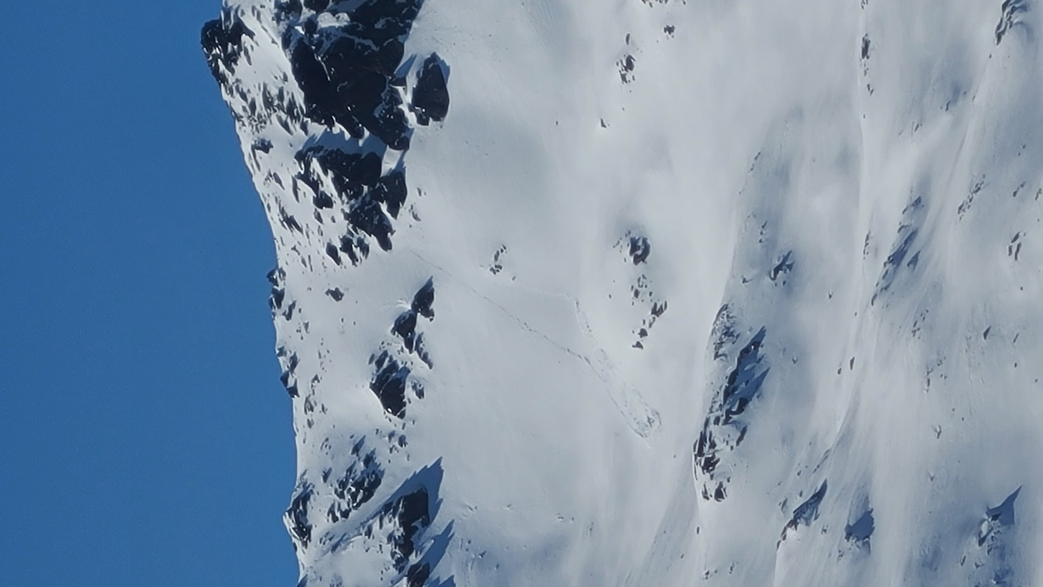
Some small loose wet avalanche activity was reported in the Camp Stream area on Thursday. Observations were limited due to poor visibility.

If you see any activity on the Two Thumb Range, please make a public observation. It helps us to produce accurate forecasts.

Current Snowpack Conditions

Sunny aspects:

Mostly bare ground below about 1800m. What little snow is left has gone through multiple melt freeze cycles.

Shady aspects:

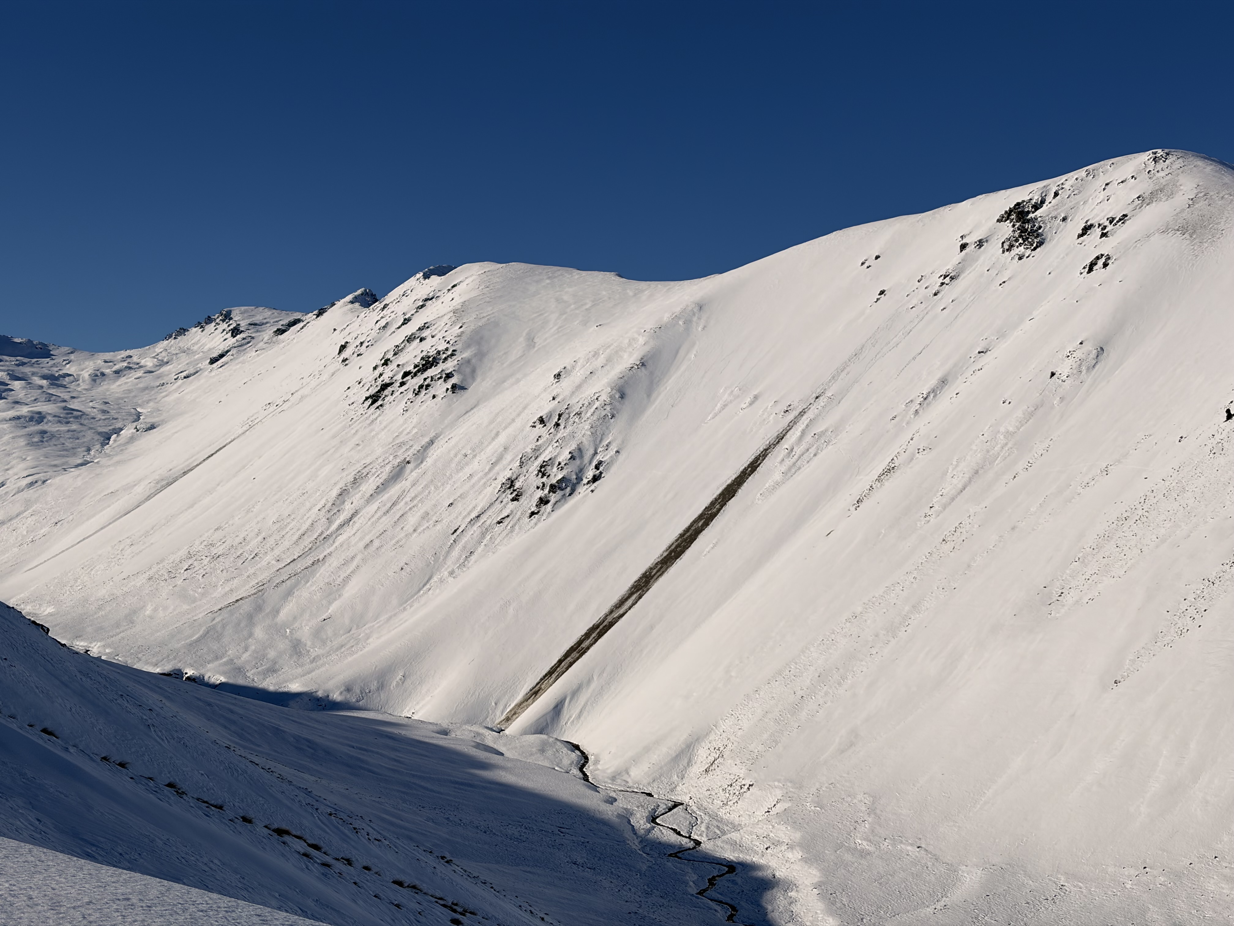
The eastern half has good snow cover above 1600m, reaching 100–120 cm in sheltered spots. Around 40cm on south to southwest slopes. Patches of wind drifted cold snow exist around ridges and terrain features.

Multiple crust layers are in the shady snowpack interspersed with weak crystals. This structure is not a problem at present, but could cause elevated avalanche hazard with future loading.

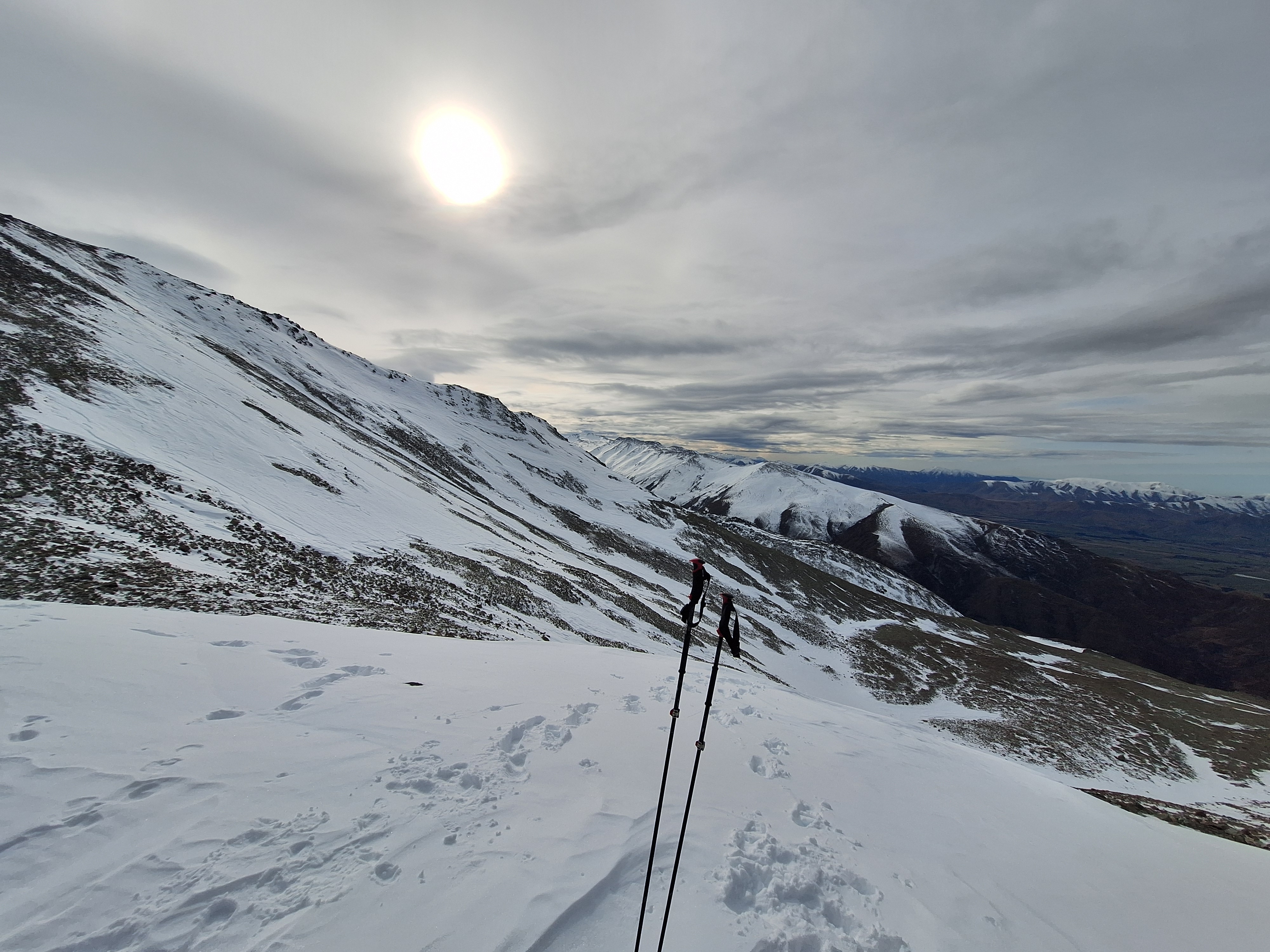
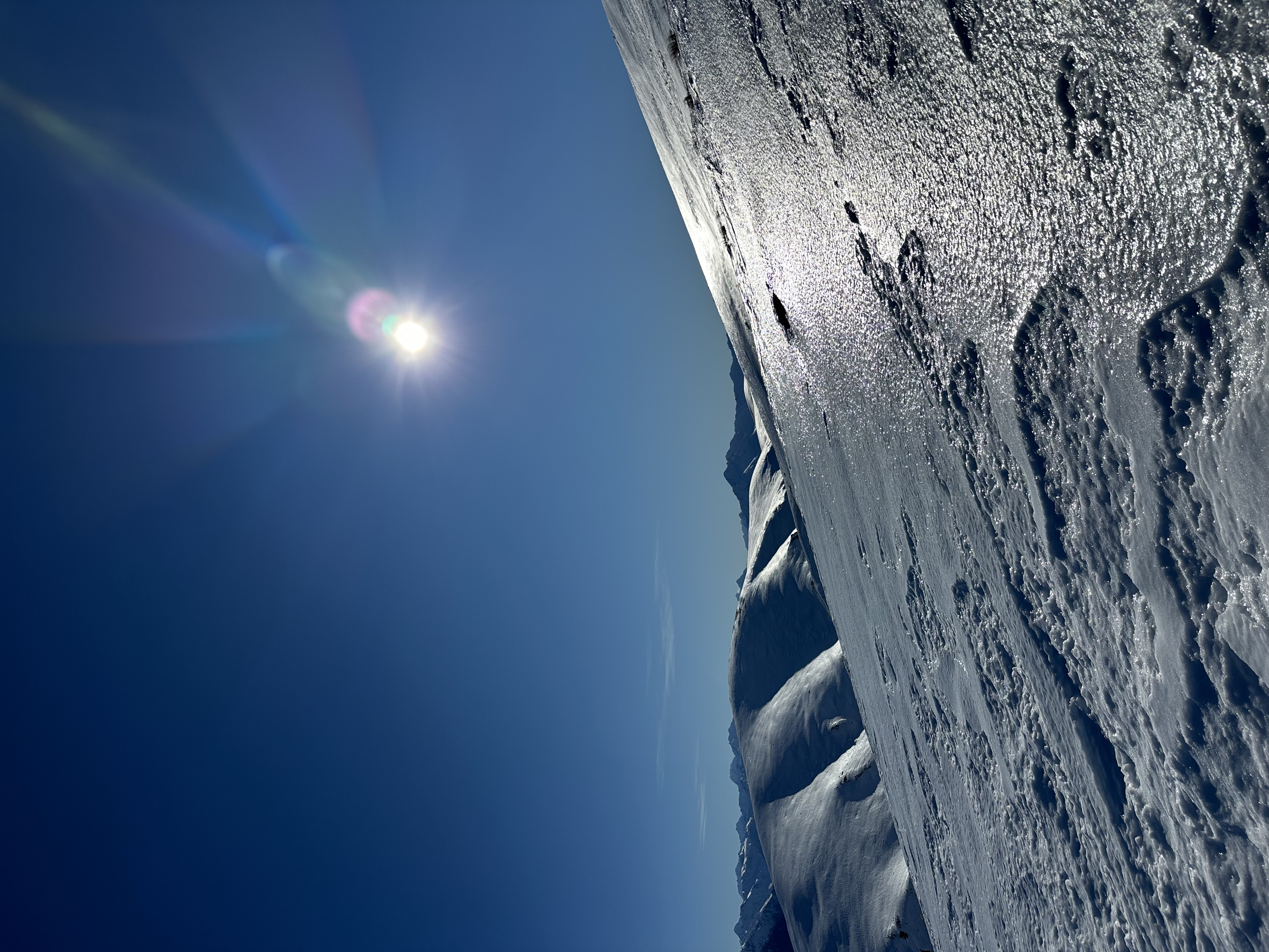
Photos from Camp Stream area on Friday.

Mountain Weather

Fine, but becoming partly cloudy with isolated showers in the afternoon. Snow lowering to 1900 metres late evening.

Wind at 1000 metres

Westerly 60 km/h, rising to northwesterly gale 80 km/h in the morning.

Wind at 2000 metres

Westerly gale 65 km/h, rising to gale 85 km/h in the morning, then to northwesterly severe gale 105 km/h in the afternoon.

Freezing level

Above 3000 metres, lowering to 2400 metres in the evening.

Sliding Danger

If the moist snowpack undergoes a refreeze overnight, expect high sliding danger with lots of rocks in the runouts.

Carrying ski crampons, ice axe and boot crampons and careful evaluation to the conditions is recommended.

Forecast Confidence

Moderate

  • We are uncertain whether the wind will be enough to form new wind slabs.
  • We are uncertain about how the timing or intensity of solar radiation will affect the snowpack.

New Zealand Avalanche Advisory (NZ Mountain Safety Council)

Evolución de los boletines

AlpLímBajo