Nelson Lakes

New Zealand · New Zealand Avalanche Advisory · parte de New Zealand

Ver en el mapa

Peligro de aludes

High Alpine · above 1,800 m
2 · Moderado
Alpine · 1,200 m–1,800 m
2 · Moderado
Sub Alpine · below 1,200 m
Sin grado

Boletín emitido 11 hours ago · válido hasta el Sep 21

Publicado por New Zealand Avalanche Advisory

Boletín vigente

Lo esencial

Wind slab danger above 1800m on steep, east-facing aspects will decrease as the freezing level rises, while loose wet avalanche danger increases overnight on Sunday and during Monday.

Problemas de aludes

  • Wind Slabs

    • Todas las altitudes
    Probabilidad
    Possible
    Tamaño
    1.5

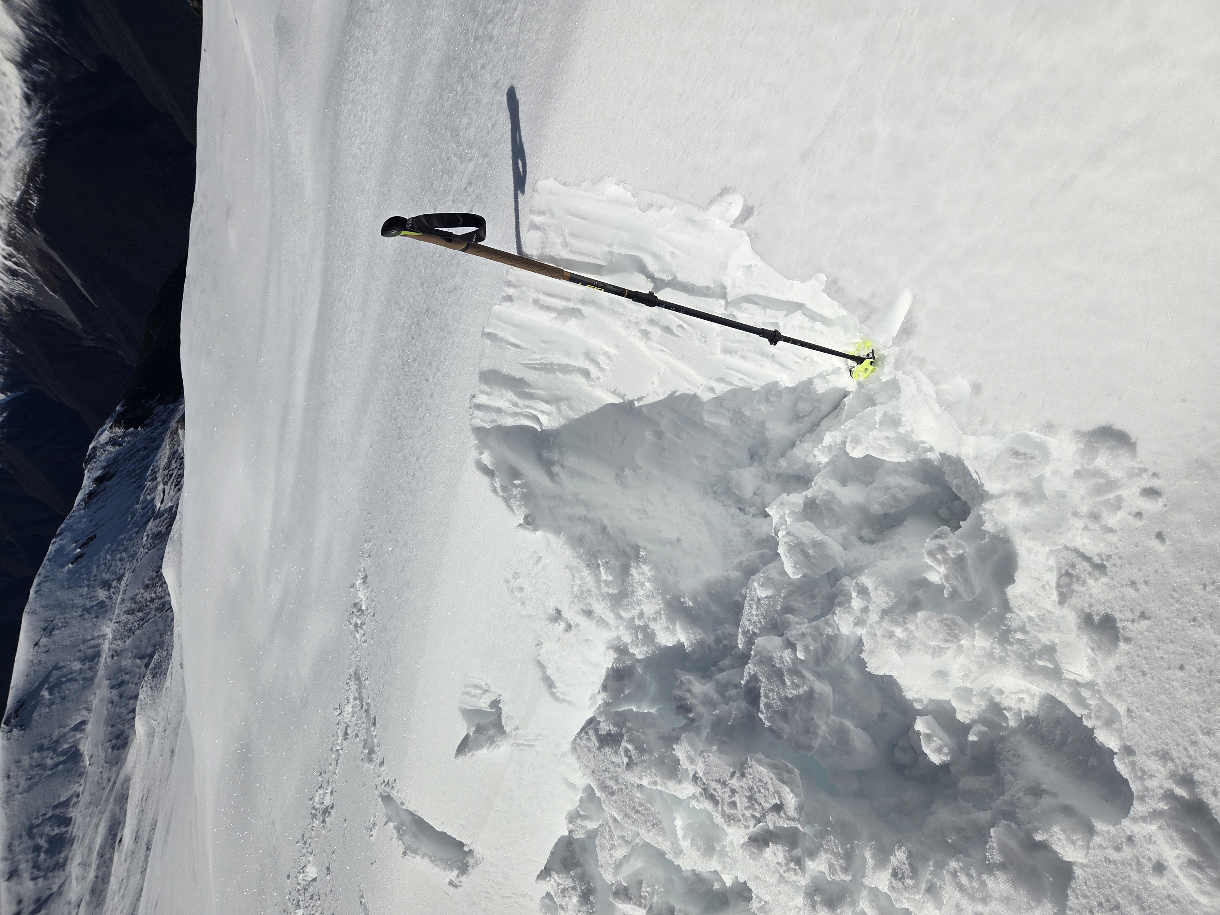
    Wind slab danger at ridge crests and steep upper start zones, particularly on eastern half aspects above 1800m. This is due to small amounts of forecast new snow and snow available for wind redistribution. This danger will decrease as the freezing level heads to 3000m

  • Loose Wet

    • Todas las altitudes
    Probabilidad
    Possible
    Tamaño
    1.5

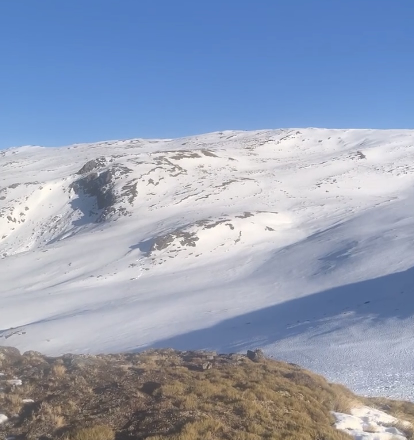
    With the forecast rise in the freezing level to 3000m loose wet avalanche danger will increase during Sunday night and Monday. The new snow will be particularly sensitive to a rise in air temperature. As the surface snow becomes wet snow, balling may start, and snow may stick to feet and skis. This may lead to loose wet avalanche activity.

Recent Avalanche Activity

No observations. Please provide any snowpack or avalanche observations using the link below.

https://www.avalanche.net.nz/observations

Current Snowpack Conditions

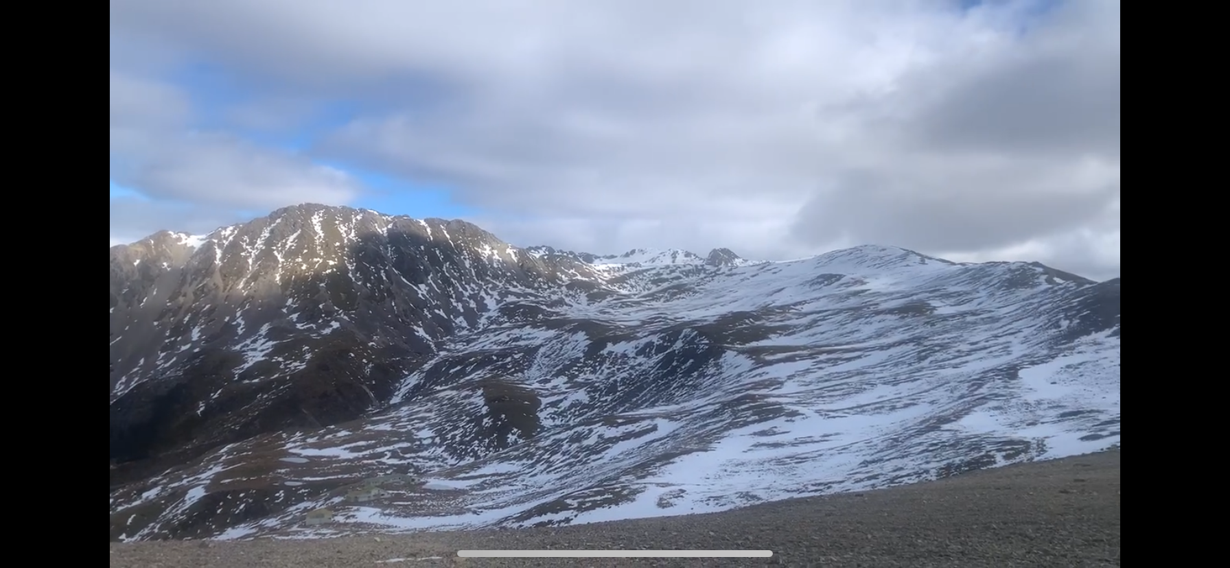
Cover above 1800m is reasonably consistent, particularly in the west and south of the park, and a little intermittent below. A resilient ice crust below 2000m is still evident where the snow has been wind-scoured on western aspects. Rain at mid elevations has saturated the snowpack below 1800m before the freezing level dropped on Saturday night with snow to 1100m by Sunday morning. Recent new snow will have settled rapidly, with moderate air temperatures on Sunday evening. The new snow at upper elevations will be sensitive to a high freezing level.

Mountain Weather

The freezing level on Sunday evening will rise to 3000m and likely remain there until Monday evening, when it lowers to 2300m. Monday will be mostly cloudy with the odd rain shower by evening time. Westerly winds becoming gale force during the day.

Sliding Danger

The underlying snow is hard, so where the wind scours off the new snow at upper elevations, the surface will be hard. You'll need an ice axe and crampons!

Forecast Confidence

Moderate

  • We are uncertain due to rapidly changing freezing levels.
  • We are uncertain due to the variability of wind effect on the snowpack.

New Zealand Avalanche Advisory (NZ Mountain Safety Council)

Evolución de los boletines

AlpLímBajo