

Craigieburn Range

New Zealand · New Zealand Avalanche Advisory · parte de New Zealand

Ver en el mapa

Peligro de aludes

High Alpine · above 1,800 m
1 · Débil
Alpine · 1,200 m–1,800 m
1 · Débil
Sub Alpine · below 1,200 m
Sin grado

Boletín emitido 5 hours ago · válido hasta el Sep 22

Publicado por New Zealand Avalanche Advisory

Boletín vigente

Lo esencial

Low does not mean 'No'

An elevated freezing level and September sun will increase Loose Wet hazard rapidly during the heat of the day. Be aware of sunny slopes above especially if travelling uphill.

Problemas de aludes

  • Loose Wet

    • Todas las altitudes
    Probabilidad
    Possible
    Tamaño
    1

    September sun on new snow and an elevated freezing level mean Loose Wet avalanches are possible during the heat of the day once the temperatures begin to warm the surface. This Loose Wet hazard is only likely to produce small avalanches in steep terrain however the consequence in the current snowpack could be bad. Thin high cloud often creates a 'greenhouse' effect increasing the surface temperature rapidly. Rollerballing is an indication that the surface is loosing cohesion so plan your travel accordingly.

Recent Avalanche Activity

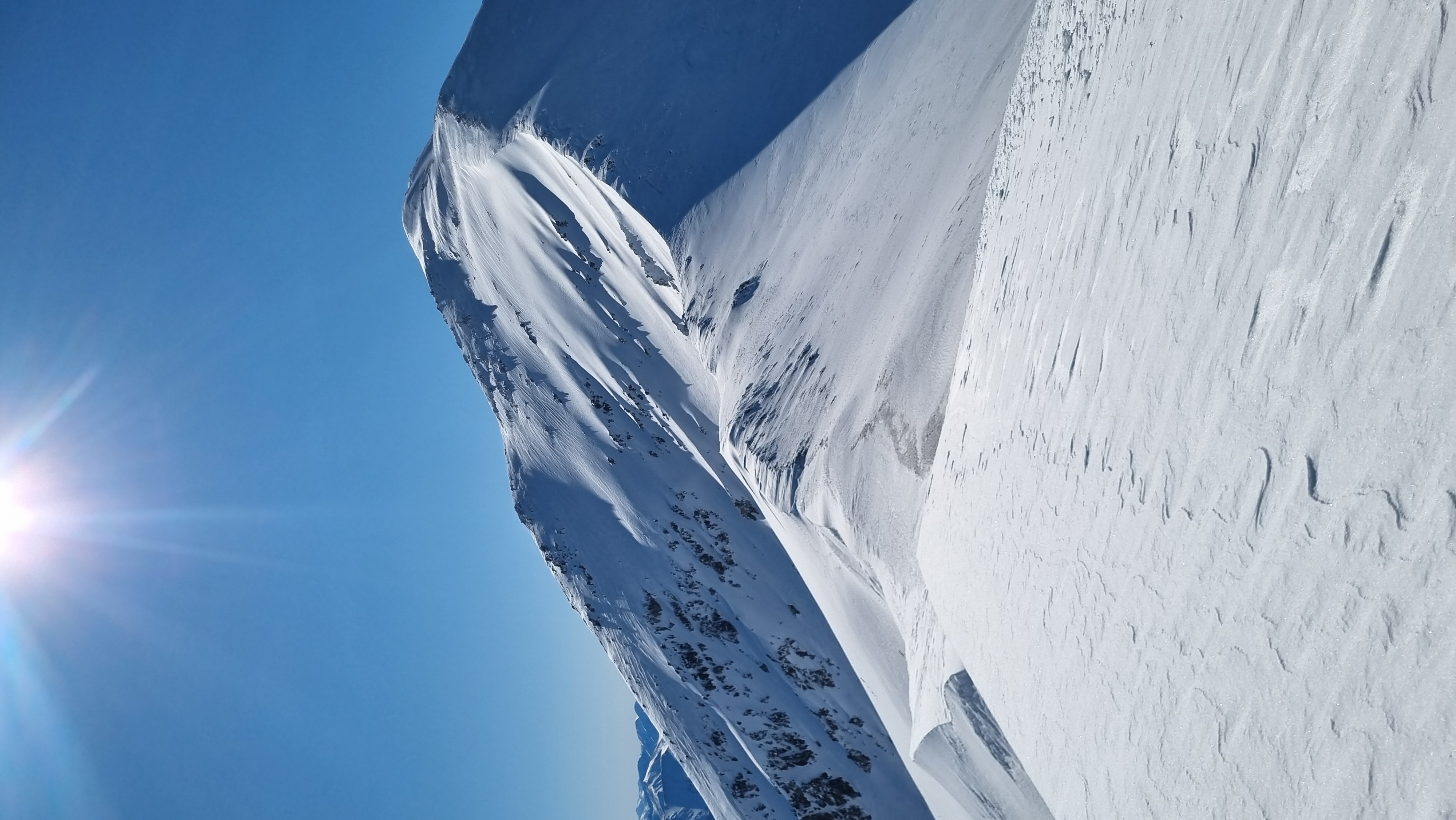
Several Loose Wet slides observed, Snowboard triggered in Tarn Basin 18/09

Current Snowpack Conditions

Snow coverage across the forecast area is super variable. Up to 150cm in some areas down to rime covered rocks in others. The snowpack is now isothermic in all areas below 1800m. Warm weather in the last few days have created a Spring like snowpack. A good melt-freeze cycle has been happening meaning good 'corn skiing' but Loose Wet avalanches are occurring in the backcountry.

Mountain Weather

Monday: Fine, but becoming partly cloudy with isolated showers in the afternoon. Snow lowering to 1900m late evening. Strong Westerly winds turning Northwest and increasing in the afternoon. Freezing level above 3000m lowering to 2400m in the afternoon.

Tuesday: A few showers before dawn, then fine. Strong to gale West to Southwest winds. Freezing level 2400m lowering to 1300m before dawn then dropping to 900m in the evening.

Sliding Danger

Ice axe and crampons are recommended as the snow surface may be hard, especially in the morning, then softening during the day..

Ski Crampons will be handy if adventuring on skis or snowboard.

Forecast Confidence

High

  • We have a good understanding of the snowpack structure and confidence in the weather forecast.

New Zealand Avalanche Advisory (NZ Mountain Safety Council)

Evolución de los boletines

AlpLímBajo