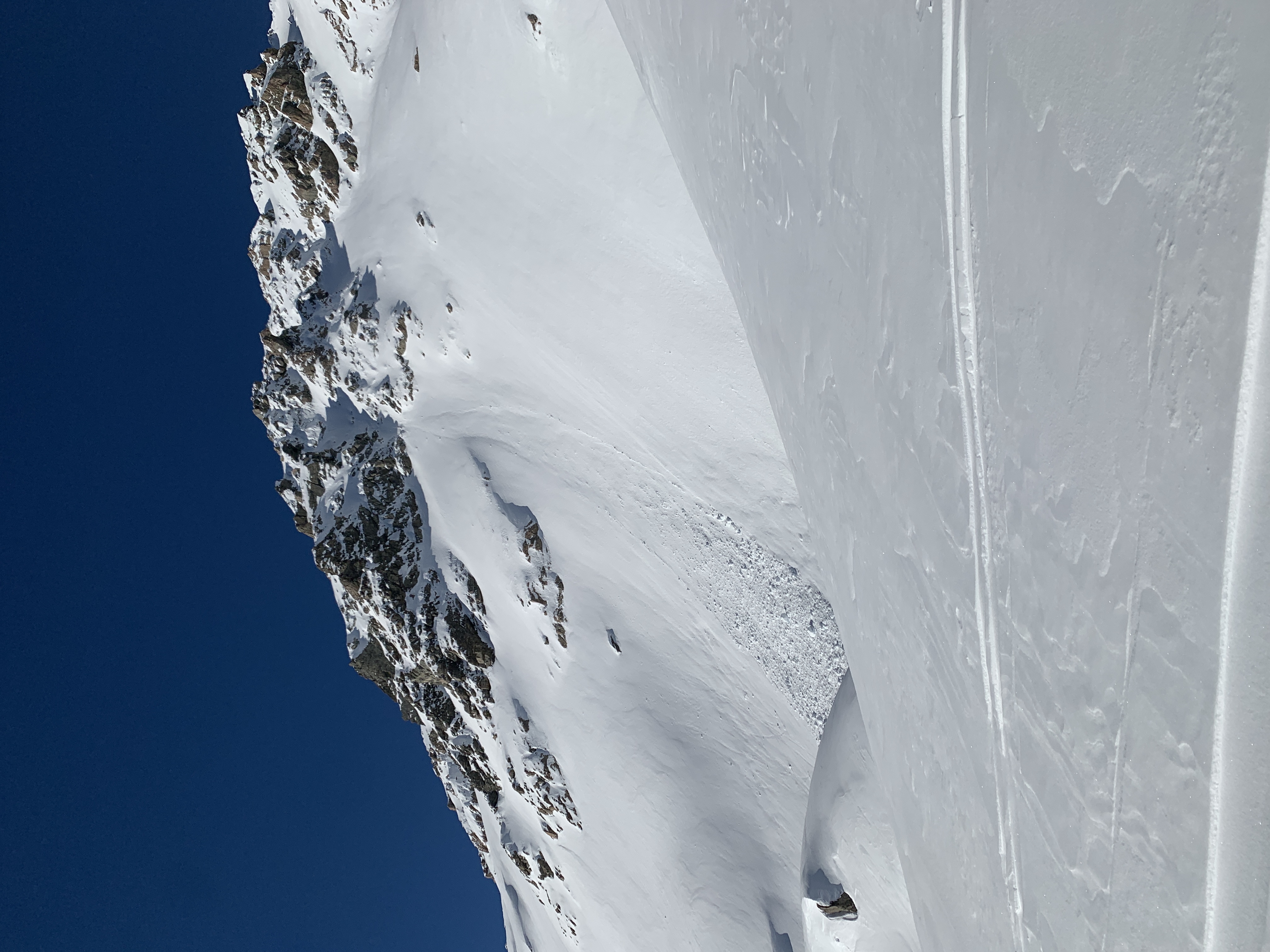
Aoraki/Mt Cook

New Zealand · New Zealand Avalanche Advisory · parte de New Zealand

Ver en el mapa

Peligro de aludes

High Alpine · above 2,000 m
3 · Notable
Alpine · 1,500 m–2,000 m
2 · Moderado
Sub Alpine · below 1,500 m
2 · Moderado

Boletín emitido 8 hours ago · válido hasta el Sep 21

Publicado por New Zealand Avalanche Advisory

Boletín vigente

Lo esencial

An unsettled few days ahead with strong W/NW winds and periods of heavy precipitation along the divide will keep windslab danger elevated.

Problemas de aludes

  • Wind Slabs

    • Todas las altitudes
    Probabilidad
    Likely
    Tamaño
    1.5

    W/NW gales and snowfall will keep elevated risks of triggering a windslab avalanche, especially at higher elevations on the Divide about SE slopes. Stiff, smooth, or hollow sounding areas of snow are best avoided.

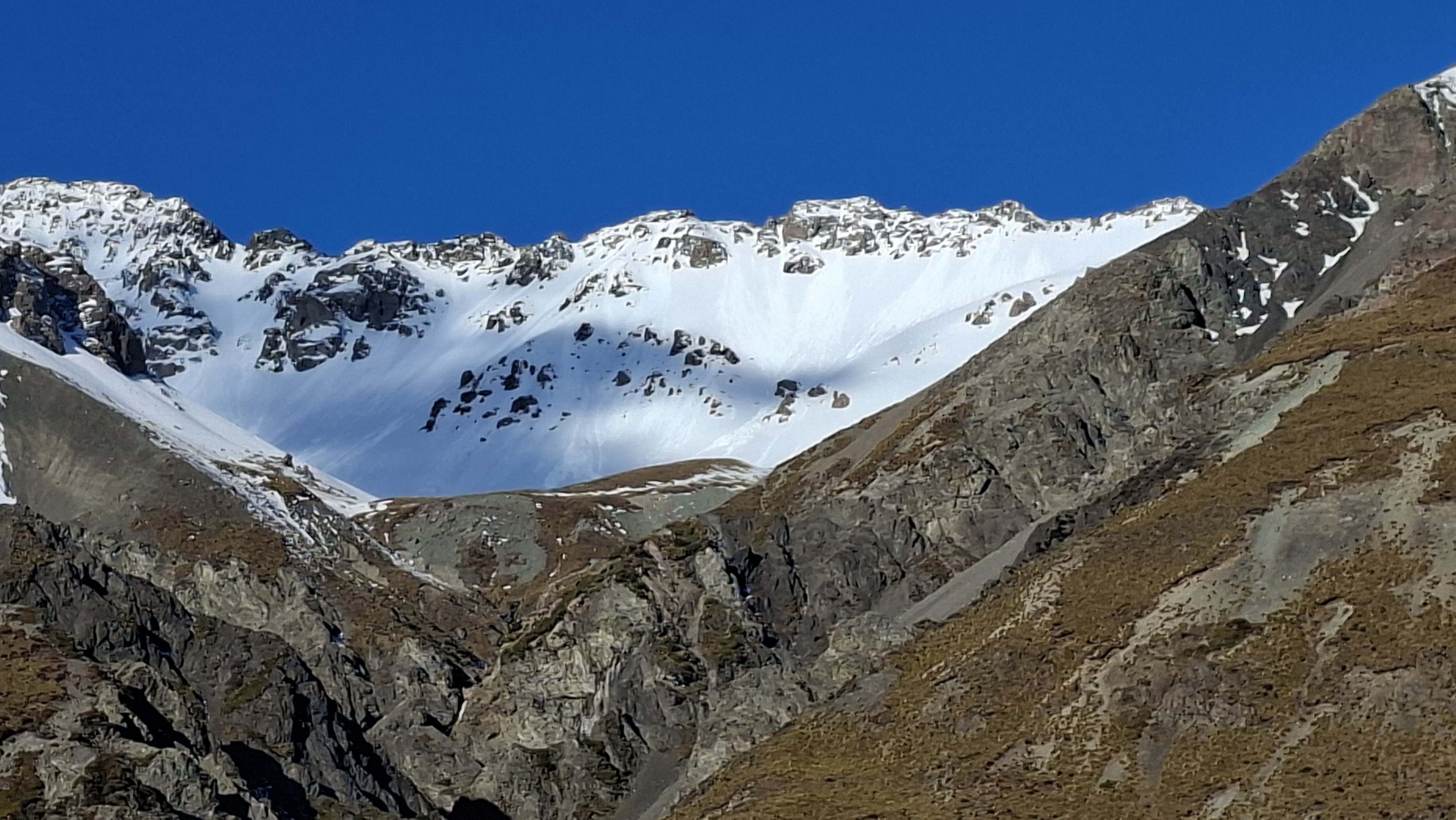
  • Loose Wet

    • Todas las altitudes
    Probabilidad
    Possible
    Tamaño
    1.5

    The freezing level looks to bounce around over the next few days. Keep in mind that new snow does not react well to rain and older snow that has seen some weather doesn't mind getting wet.

Recent Avalanche Activity

Scattered storm slabs up to about size 2.5 were seen on the 17th.

Numerous loose wet avalanches up to size 1.5 ran on the 18th and 19th.

Sliding Danger

Crusts are never far away in spring, either under recent snow or about to form at the surface. Crampons and ice axe are useful tools to deal with such issues.

Forecast Confidence

Moderate

  • The snowpack structure is well understood.
  • We are uncertain about forecast precipitation amounts.
  • We are uncertain due to variable freezing levels.

Current Snowpack Conditions

Around 30 to 40cm of new cm snow fell on the Divide on Saturday with snow as low as about 1000m as gale W/NW winds turned colder SW. Windslab will be found on many aspects from S through to NE, and fresh slab will build as NW winds increase again ahead of another frontal system which crosses the park early in the week bringing rain, snow and wind.

The mid and lower snowpack, while layered with multiple crusts is generally strong.

Mountain Weather

Forecast

A few showers turning to rain in the afternoon, possibly heavy. Snow lowering to 1500 metres in the morning, raising to 1800 metres in the afternoon.

Wind at 1000 metres

Westerly 40 km/h, rising to northerly gale 70 km/h in the afternoon, turning southwesterly gale 65 km/h at night.

Wind at 2000 metres

Westerly 45 km/h, rising to northwesterly gale 70 km/h before dawn, then to severe gale 90 km/h in the afternoon, easing to westerly gale 65 km/h at night.

Wind at 3000 metres

Westerly gale 65 km/h, rising to gale 85 km/h in the morning, then to northwesterly severe gale 105 km/h in the afternoon.

Freezing level

2800 metres, lowering to 1800 metres in the morning, then lifting to 2200 metres in the evening.

Issued: 1:28pm Sun 20 Sep

New Zealand Avalanche Advisory (NZ Mountain Safety Council)

Evolución de los boletines

AlpLímBajo