
Quick report
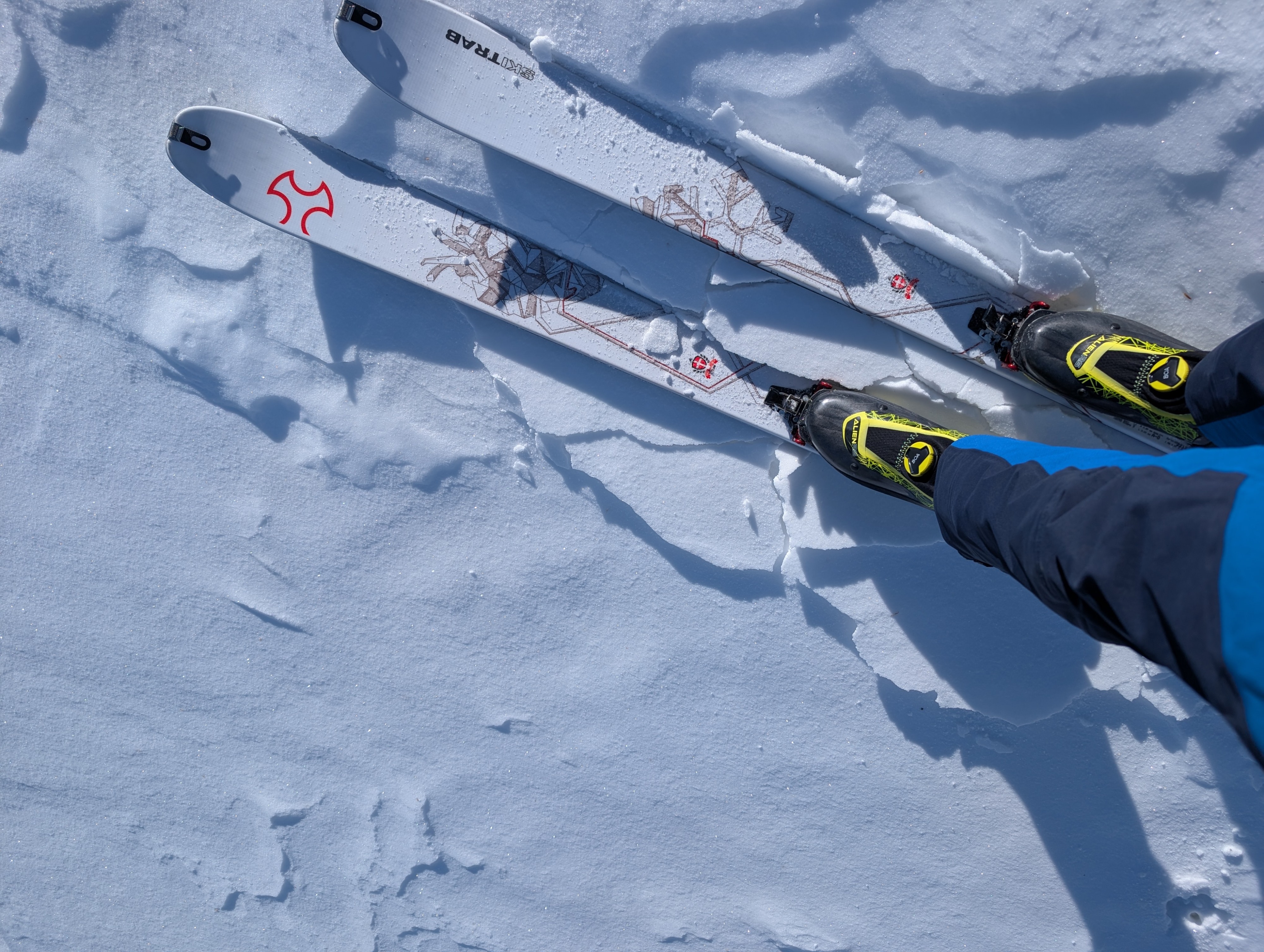
We found thick supportable crusts on sunny aspects and rain crusts on other aspects up to ~8700-8800 ft today. Today's cloud cover and colder temperatures kept the previously sunny slopes firm and frozen today. The crusts and the weak snow near them on the northern aspects proved to be more interesting.
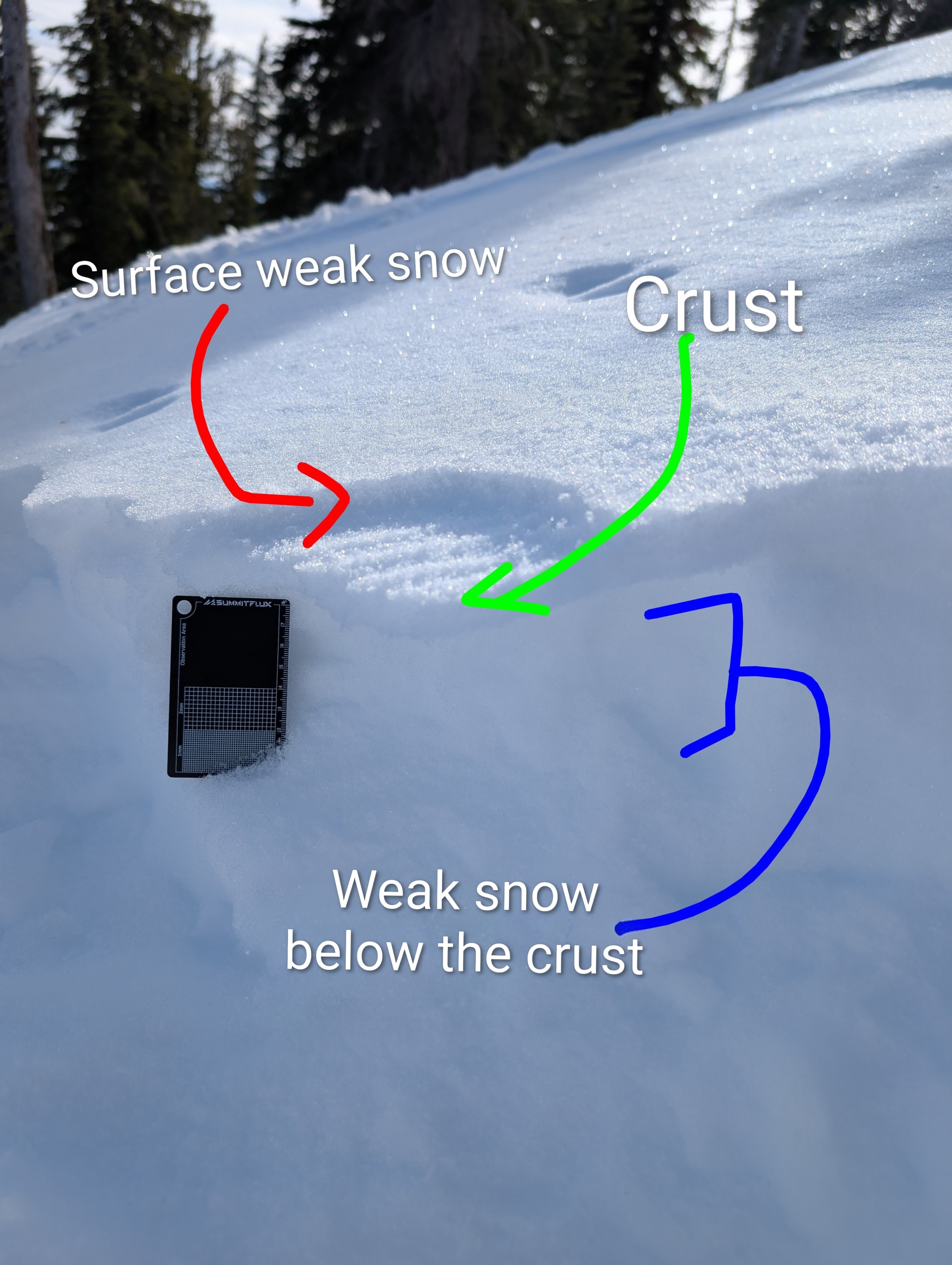
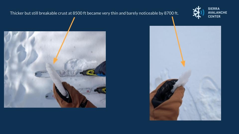
The rain crust was thicker at the lower elevations and thinned as elevation approached 8700 ft. At that elevation, the crust was barely there, and it had a dusting of 1 cm (.5 inches) or less of recent snow on top of it. This recent snow had already gotten weak (faceted). By 8800 ft, the crust had disappeared with just the weak snow on the surface. Below both the crust and the recent snow, a ~10 cm (4-5 inches) layer of old weak snow (facets) exists.
Today, these variable snow surfaces just made travel more challenging, as they have for much of the dry spell. As storms move back into the region, these weak snow surfaces have the potential to become buried weak layers. Travel conditions may get better, but the avalanche conditions could also get more complicated.
Weather
- Air Temp
- 32 °F
- Cloud Cover
- overcast
- Recent Snowfall
- 1 cm
- Snow Avail For Transport
- none
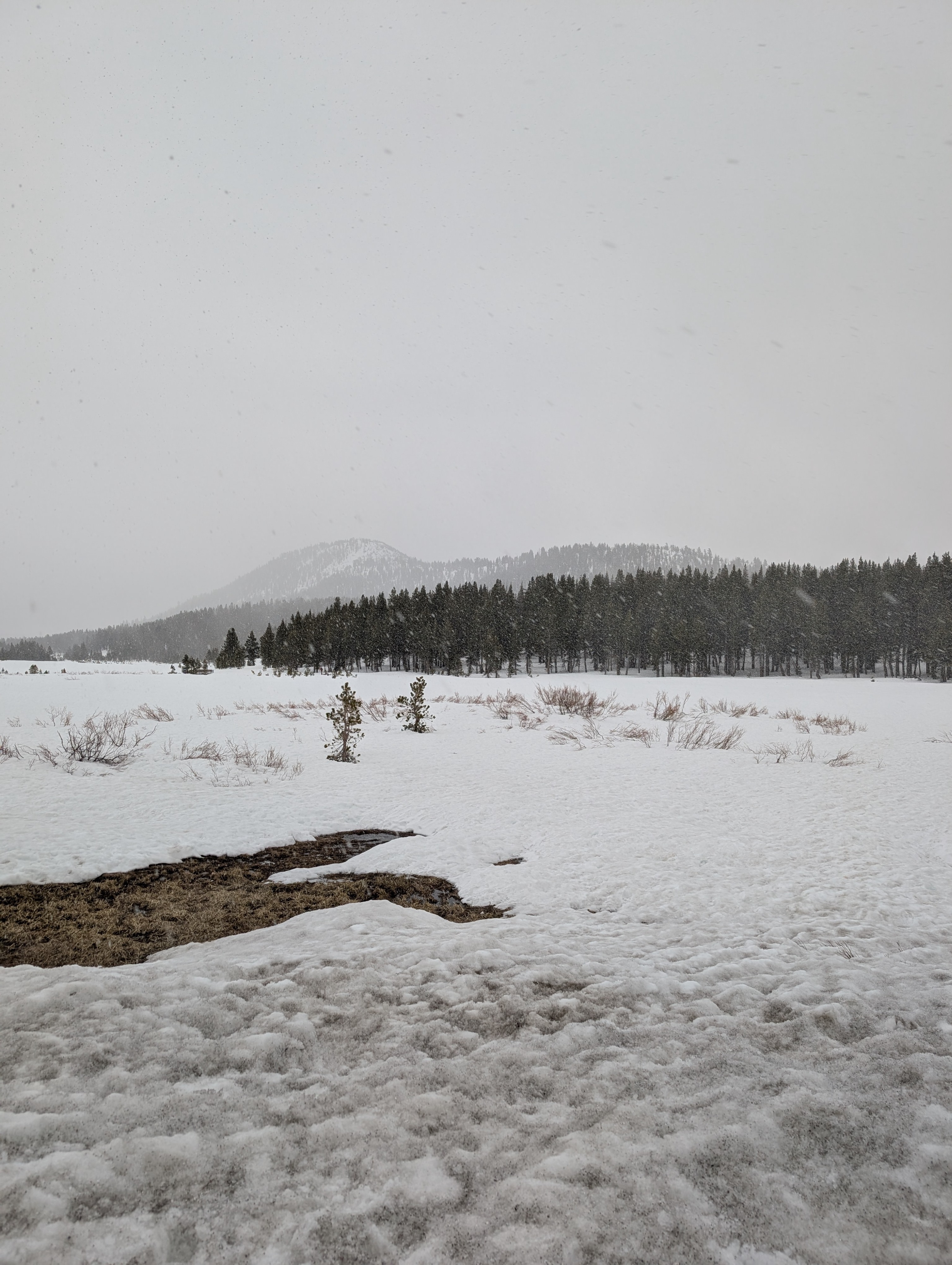
Partly sunny to partly cloudy skies this morning gave way to mostly cloudy skies by noon. Snow started falling at 1:30 pm.