
Quick report
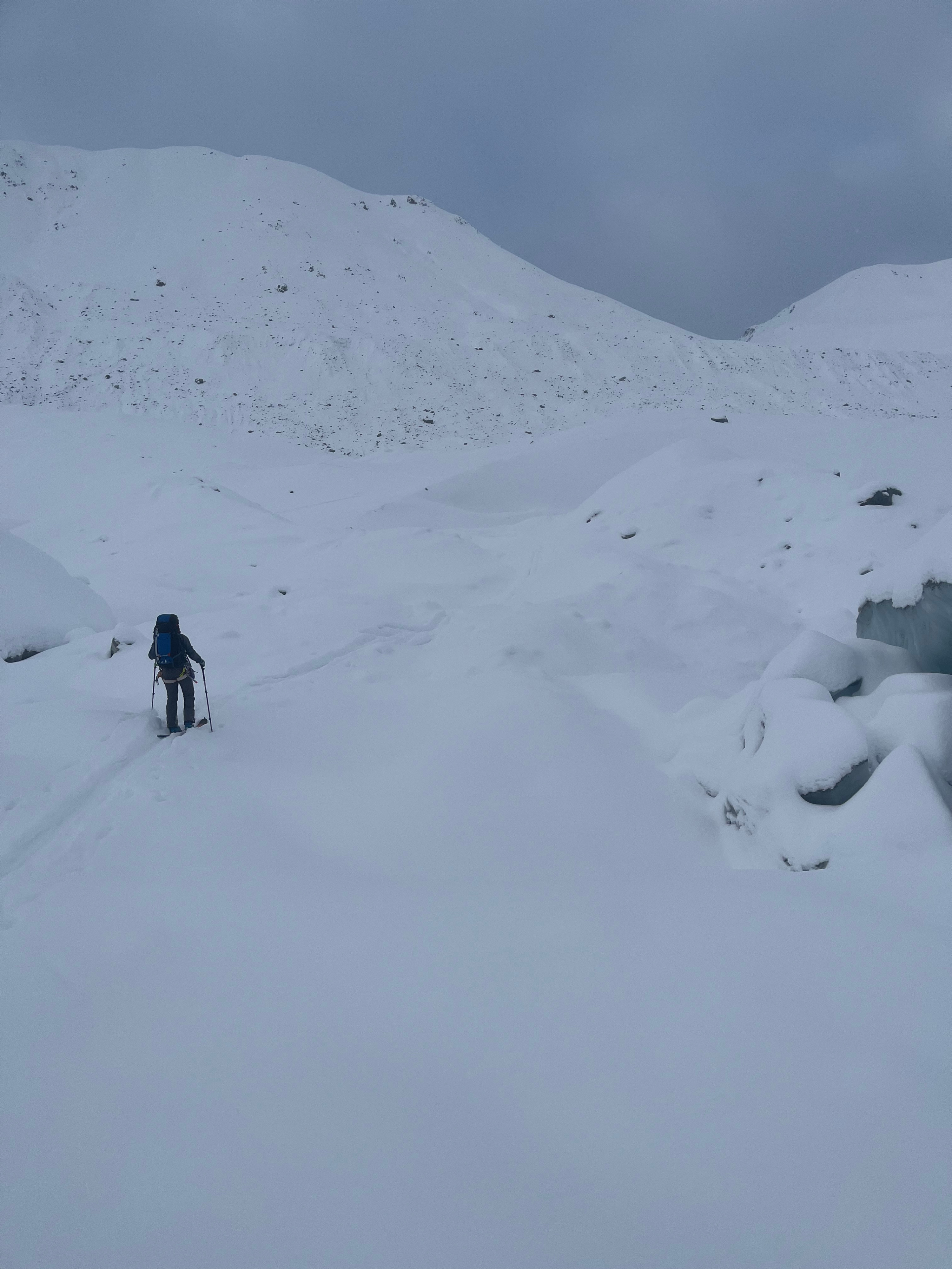
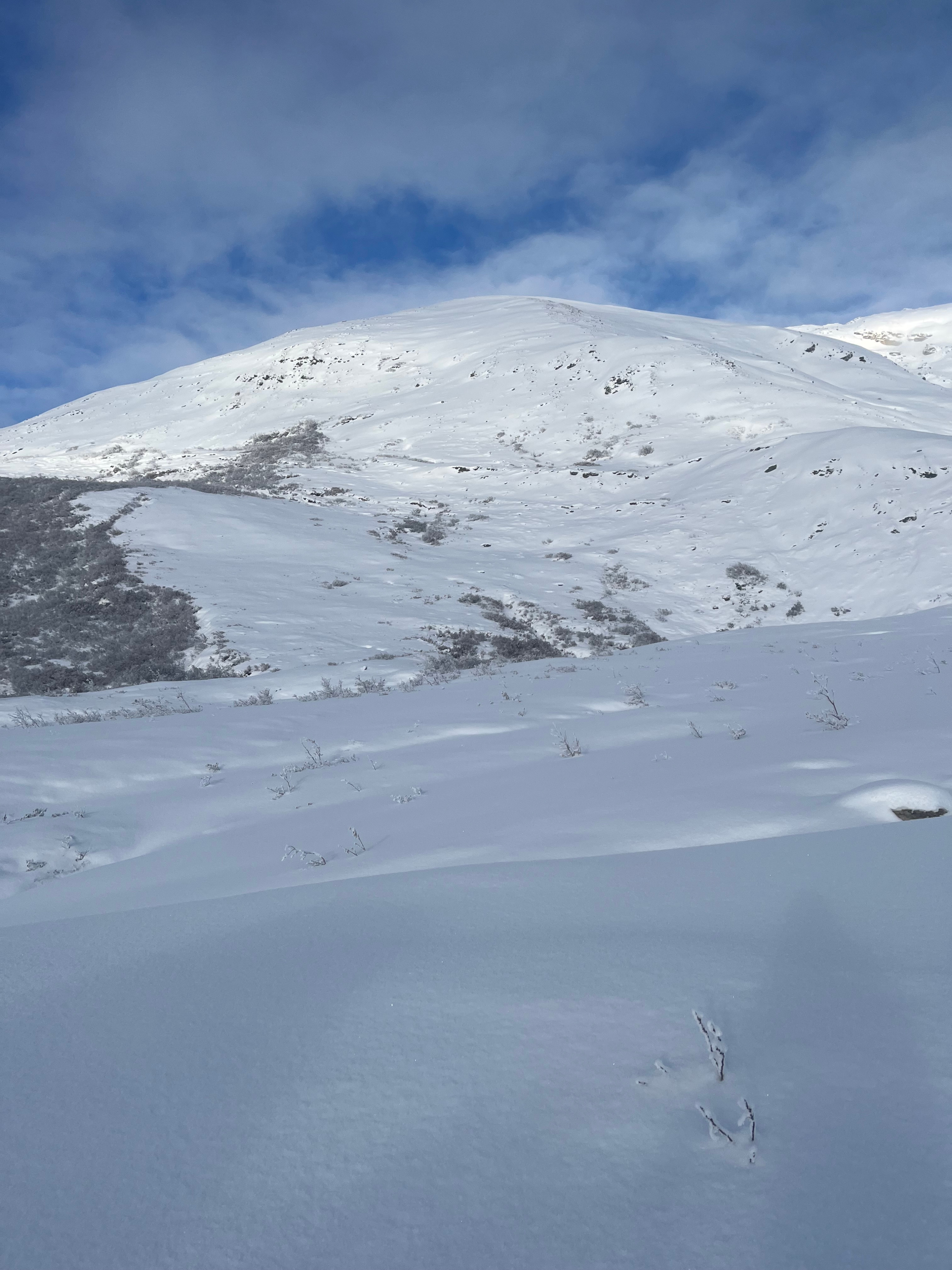
Spent the duration of the trip in an assessment mindset due to scant data and significant recent snowfall. At lower elevations, found a right side up snowpack, with the greatest hazard being low tide conditions. Observing from the valley, mid elevations appeared to harbor a similar snowpack depth, with the upper elevations being the only area with enough connected terrain to generate a large avalanche. The only evidence of avalanche activity was a few small dry loose debris cones visible on steep solar terrain above the lower canwell hut. In the upper elevations, NW and SE wind patterns have already generated significant crossloading of gullies.
Weather
- Cloud Cover
- overcast
- Wind Loading
- moderate
- Recent Snowfall
- 8
- Snow Avail For Transport
- moderate amounts
10/25 - OVC to X cloud cover, with Nil precip, and low to moderate wind speeds. 5cms of new overnight at glacier level. 10/26 - Generally clearing trend through the day, going from OVC with some valley fog to BKN skies by evening. Nil precip and calm winds. 10-27- OVC skies with the occasional flurry dropping visibility to X. brief periods of S1 snowfall throughout the afternoon. Started the day with a light SE katabatic wind. Ended the day with a light NW headwind.
Snowpack
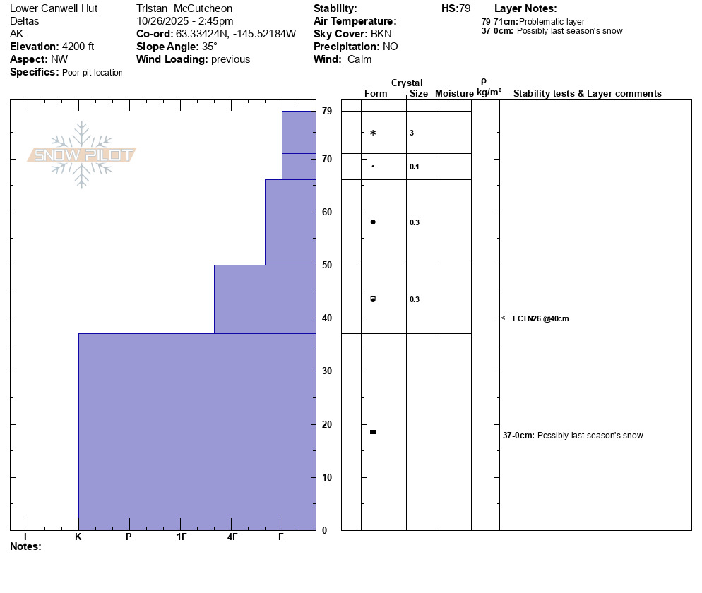
Dug a hasty profile on a NW facing wind loaded test slope behind the lower Canwell hut. Was hunting for instability. Found a generally right side up snowpack, with about 40cms of snow likely resting on a pocket of firn. Of note, basal grains were already showing signs of faceting. ECT yielded no propagation. Pit profile attached. At lower elevations, snow depth relatively homogeneous at about 40cm, with the exception of SW aspects having a thinner snowpack due to insolation.