
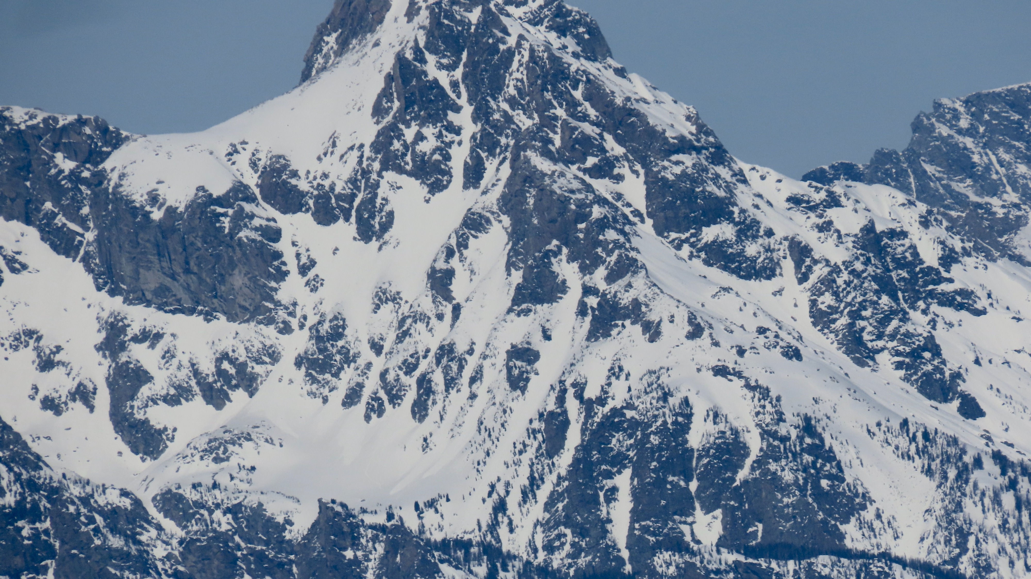
Quick report
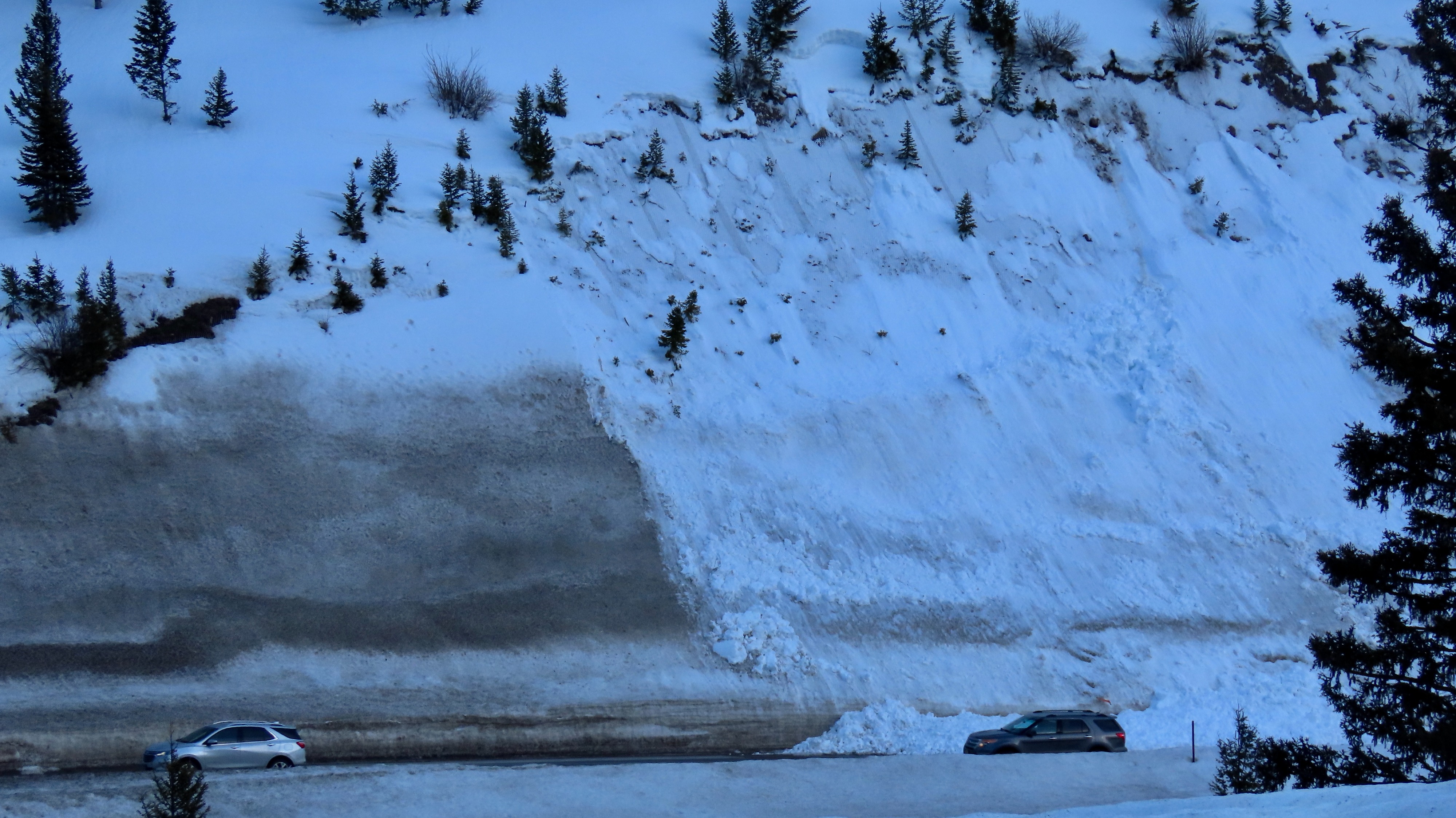
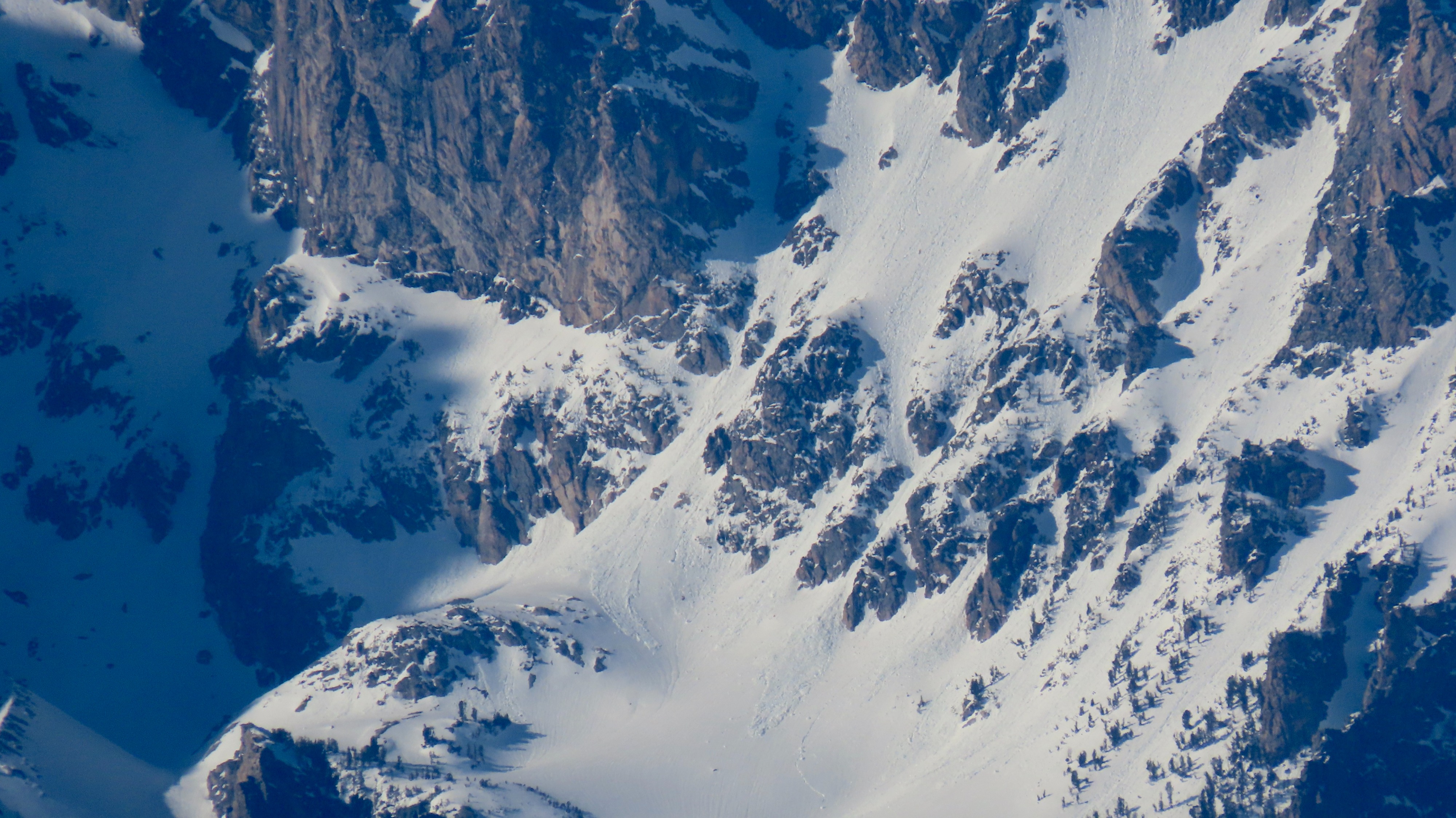
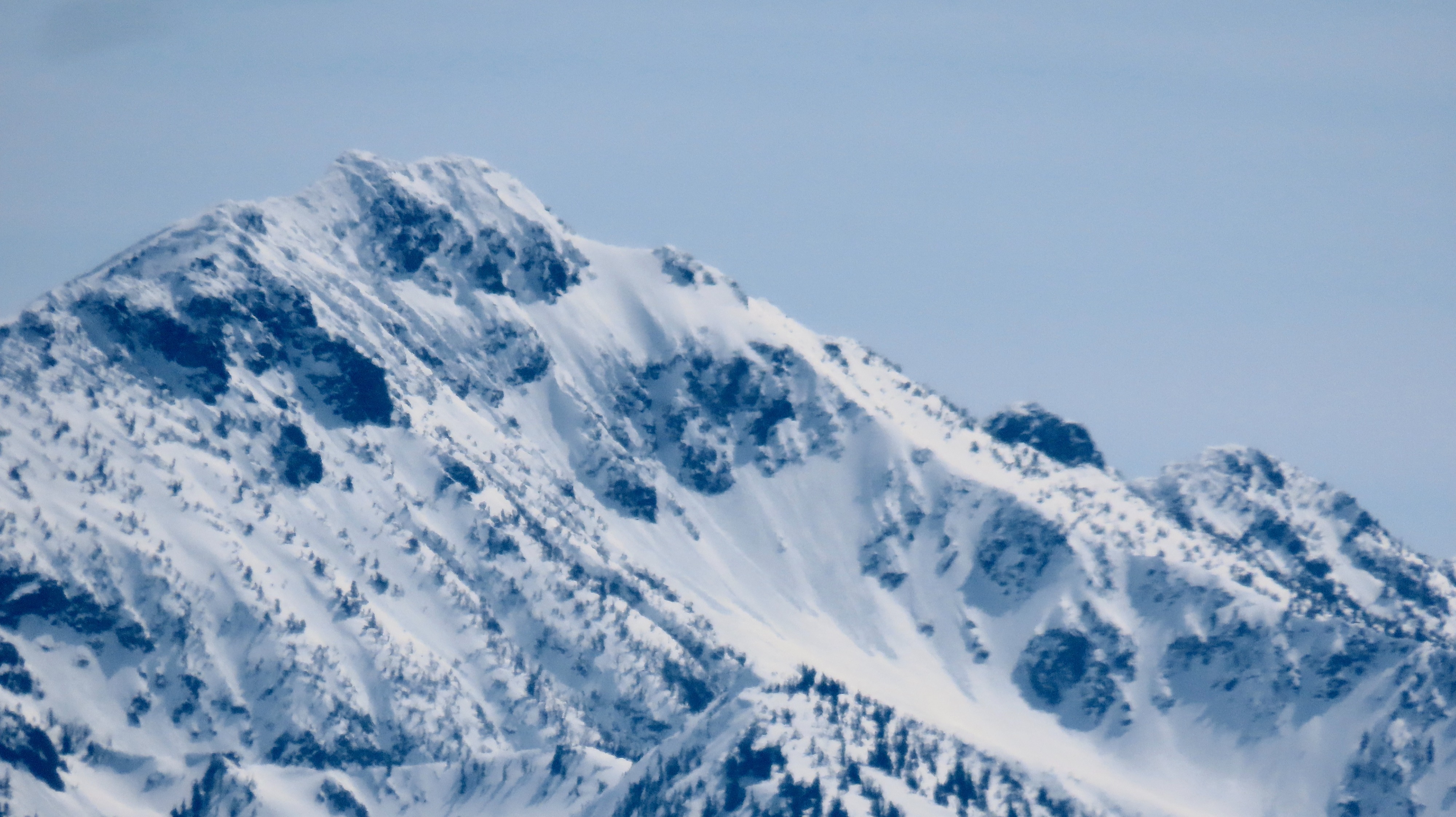
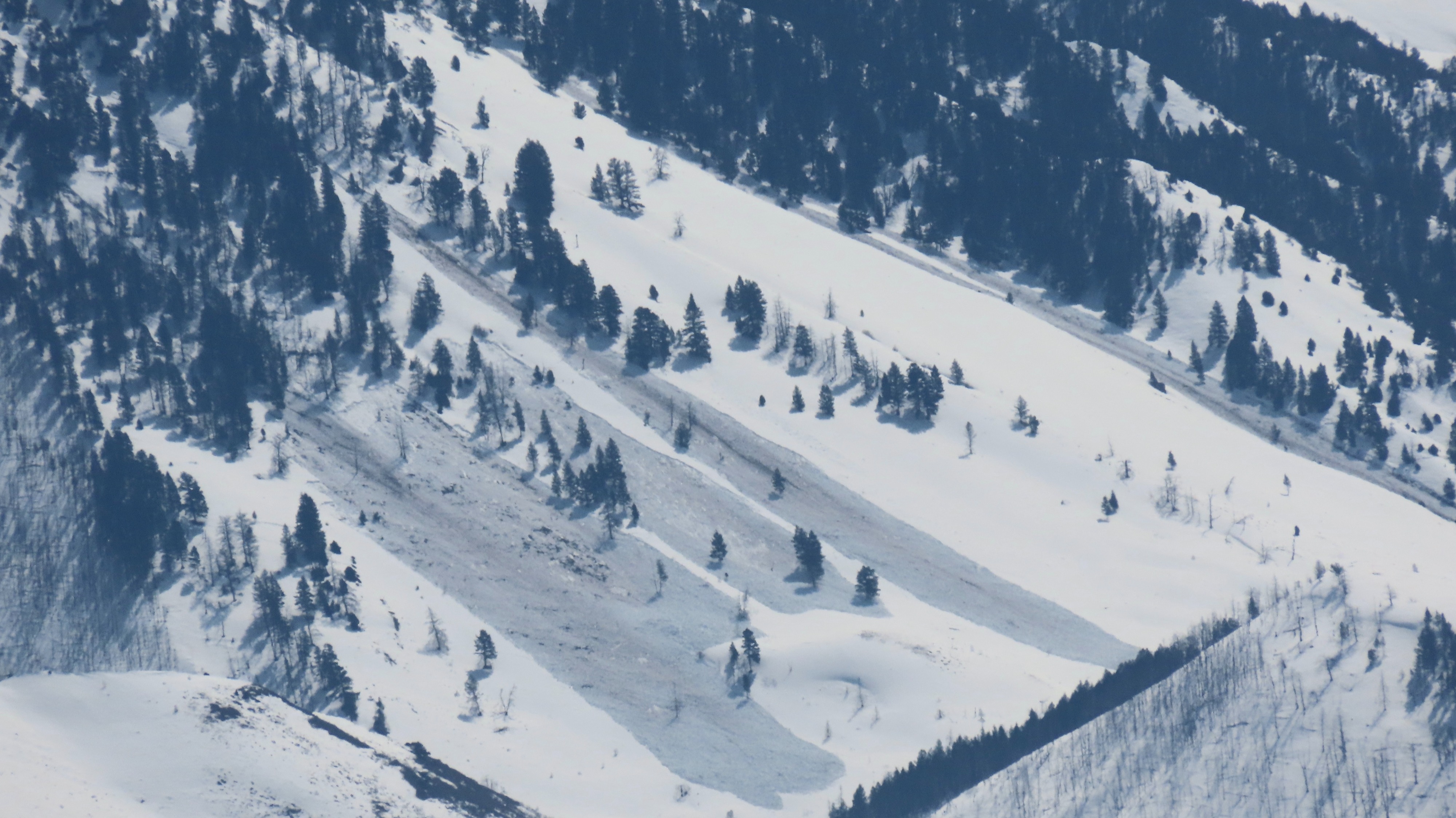
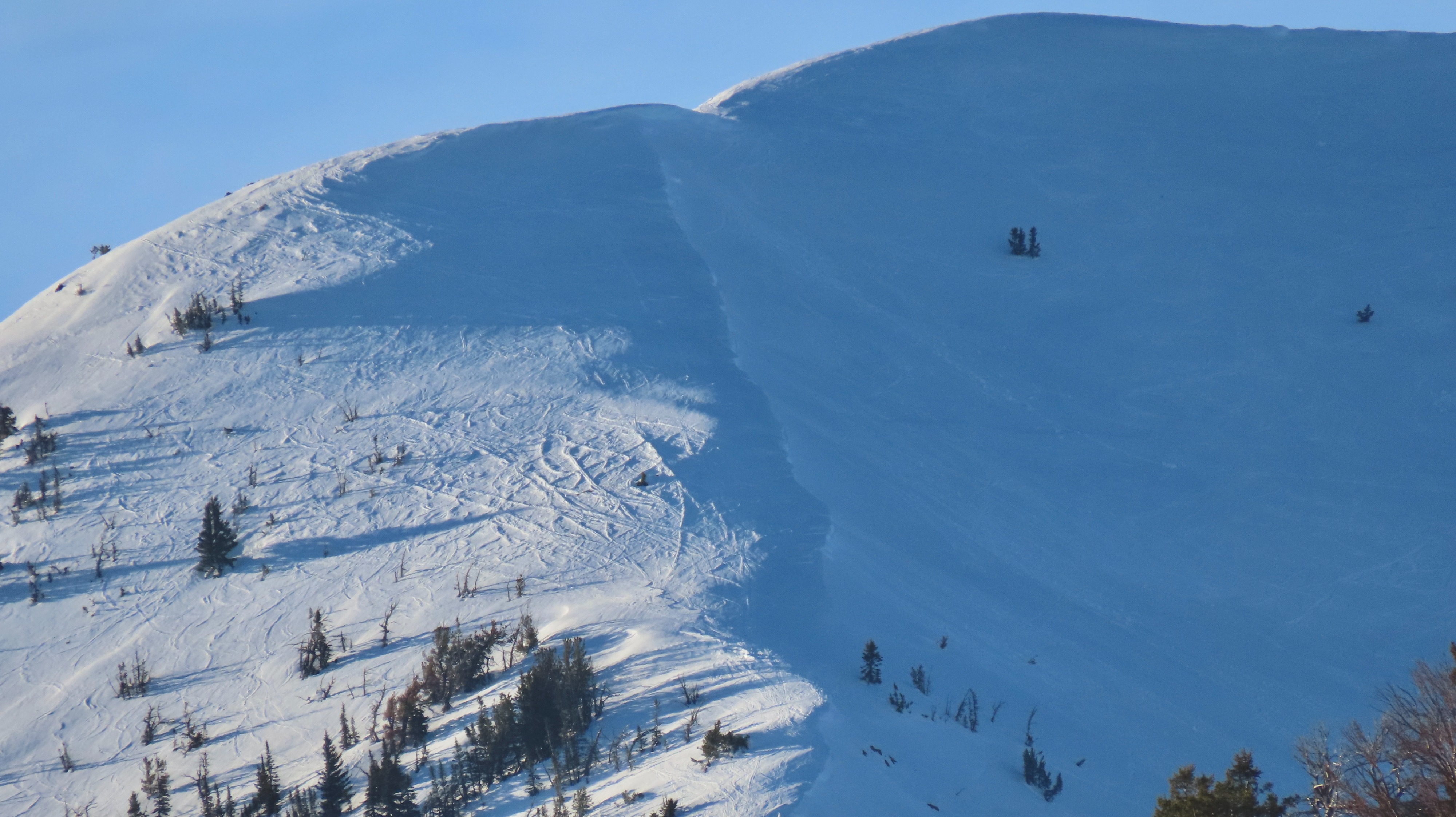
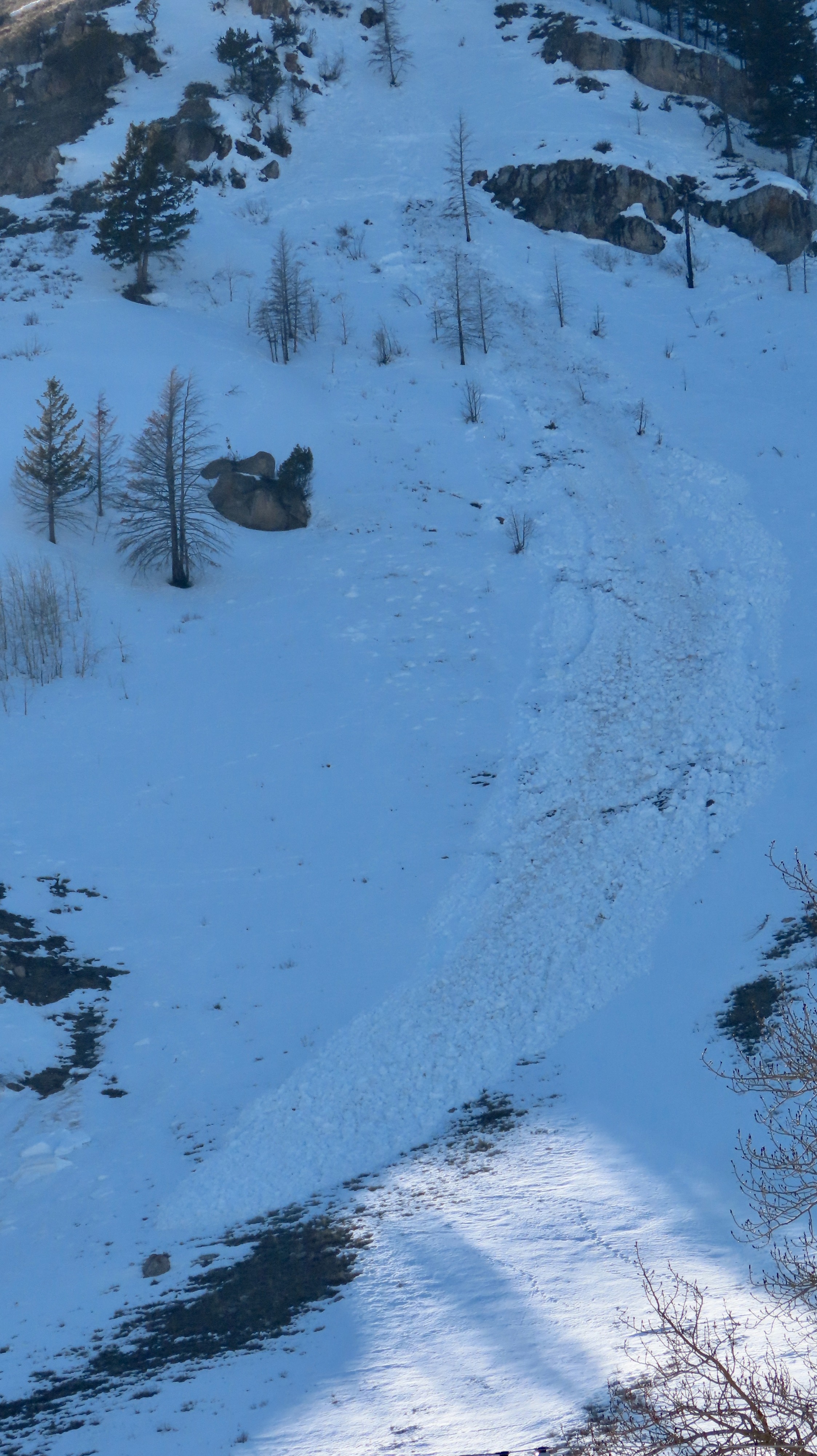
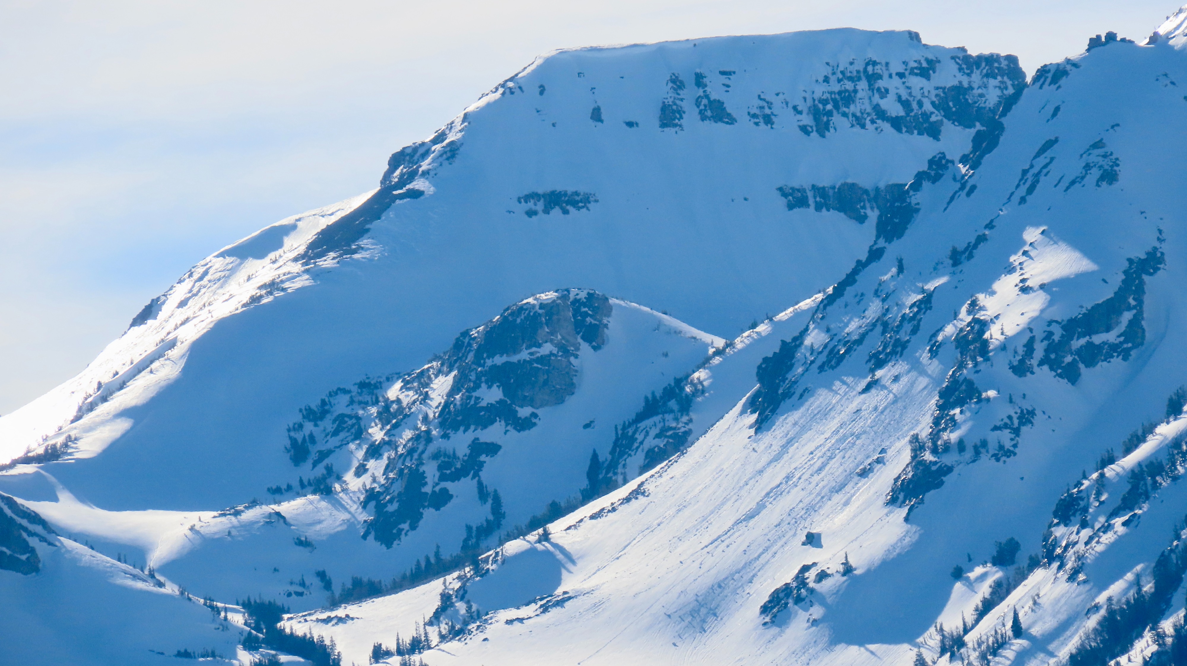
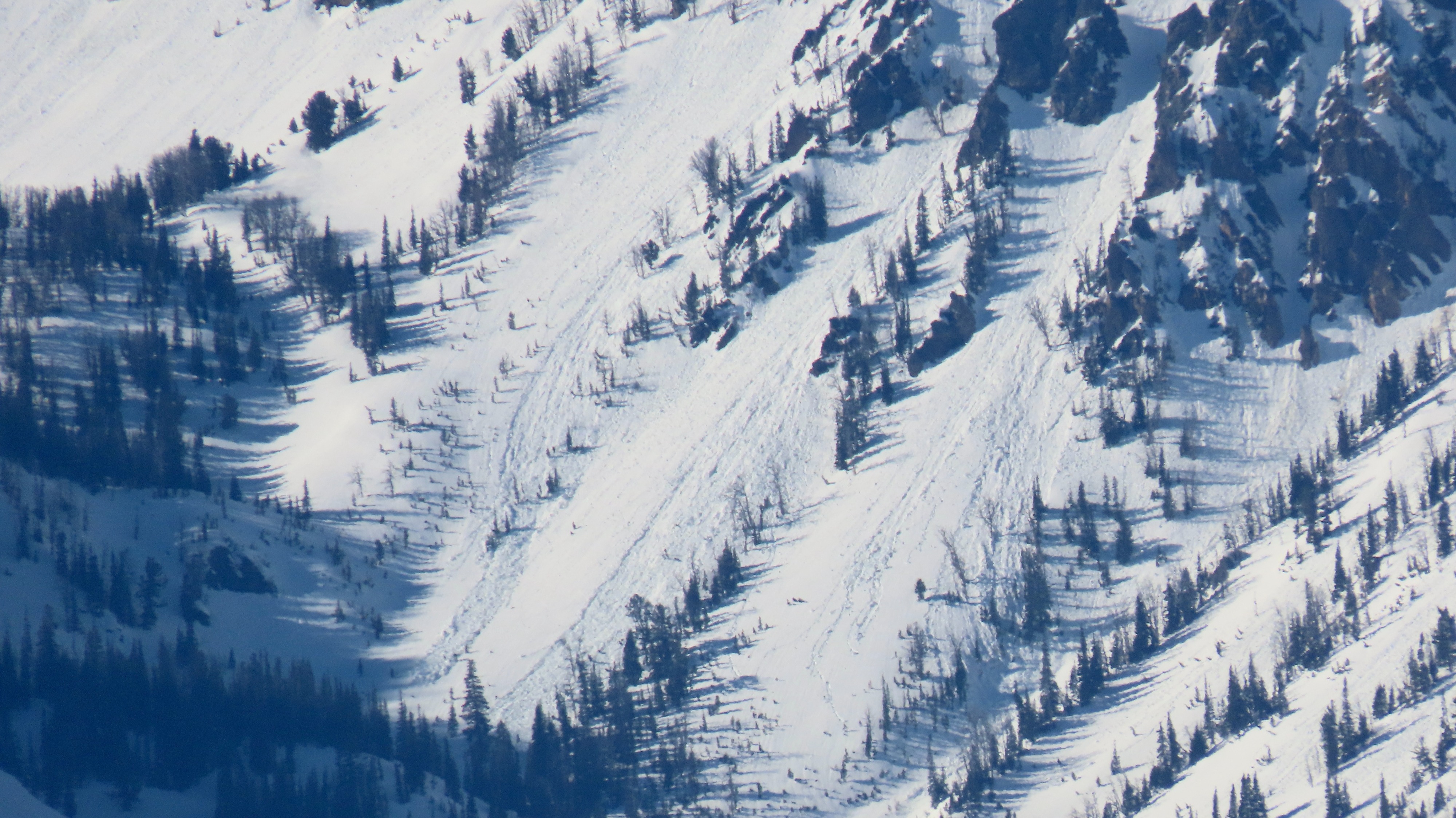
Noted numerous wet avalanches today, mostly limited to the low and middle elevations of the Tetons and Palisade section of the Greys. Some in the high Tetons appeared to have been trending towards upper-elevation wet-loose shedding on solar aspects. These can produce very large avalanches. The wet slab setup appears to be ready to go at the lower elevations. I do not think the structure and continuity combined with weather are present at middle and upper elevations in the Tetons to produce wet slab avalanches at this point in time. I do think it is present at Togwotee and some sections of the Greys (I'm looking at you, Mid-Piney). A cooling trend will continue through the week which will bode well for long-term stability and consolidation of persistent issues. For now, tomorrow looks just as warm with an even lighter refreeze but winds into the 20s mph will help keep things cooler at upper elevations.
Noted around 10 D1-D2 wet loose avalanches across the mid and low elevations, and around 5 D1-D2 wet slab avalanches isolated to low-elevation terrain.Weather
- Cloud Cover
- few
- Snow Avail For Transport
- none
Few upper-level clouds and light winds aloft