
Quick report
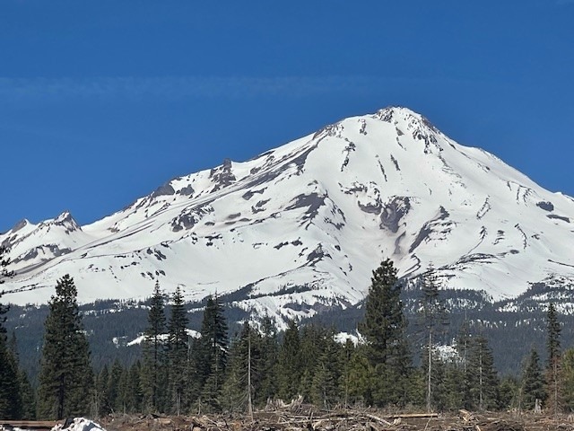
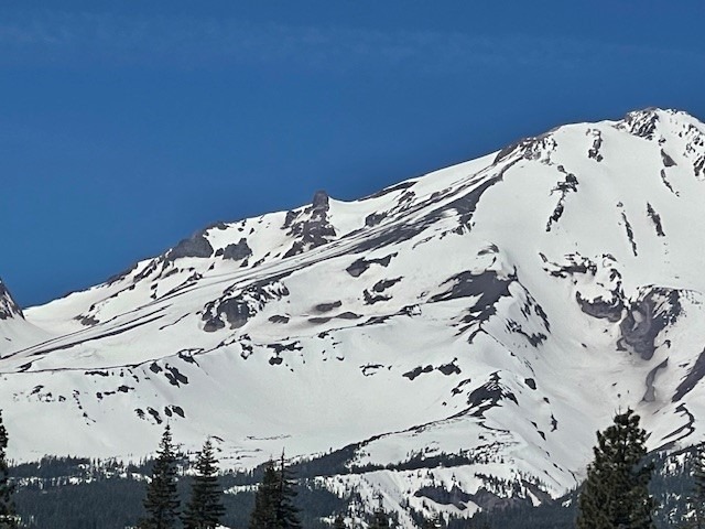
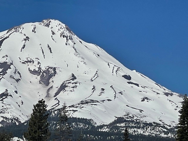
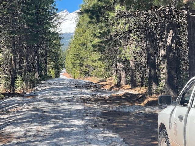
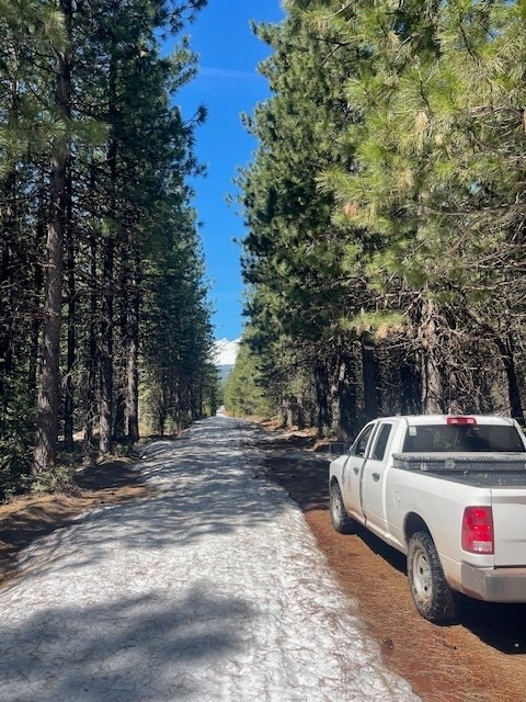
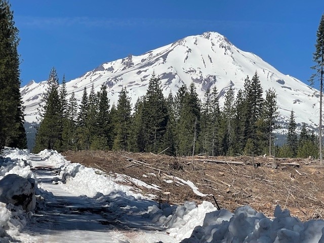
Trailhead Access as of 5.6.25 - mileage represents road miles to trailhead covered in snow and/or drifts
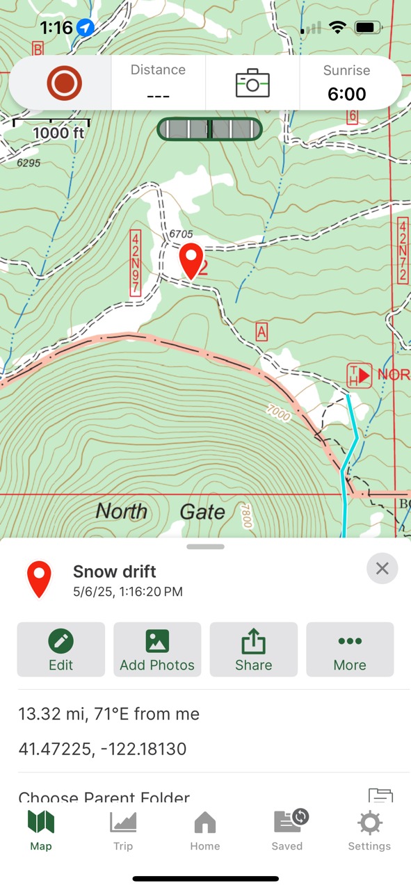
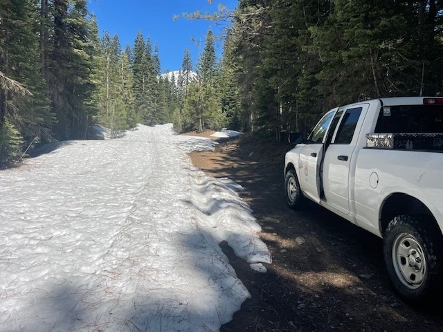
Northgate - .5 miles - You still cannot drive all the way to the trailhead, but it's getting close! Only about .5 miles. The trailhead is open and stocked with summit passes, wilderness permits and wag bags. Bathrooms are open, trash service available. No other services provided.
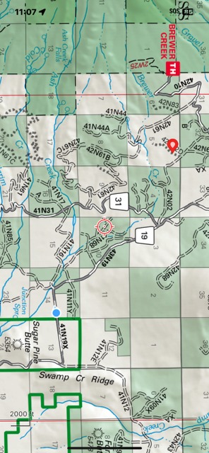
Brewer Creek - 8 miles - Trailhead is closed. The intrepid are welcome to access this trailhead and route(s), but plan to pick up your summit pass, wilderness permit and wag bag at the Mt Shasta Ranger Station, 204 W Alma St, Mt Shasta, Ca.
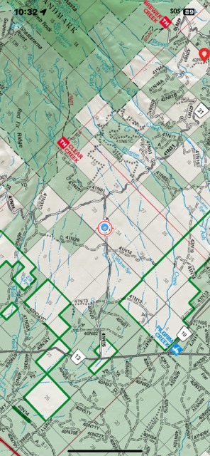
Clear Creek - 4 miles - Trailhead closed and same information as Brewer applies to this trailhead. The McCloud Ranger Station also has passes, permits and wag bags available.
*Both Mt Shasta and McCloud Ranger Stations have self-issue kiosk stations for your summit passes, permits and wag bags if you arrive outside of business hours.
n/aWeather
- Air Temp
- 45
- Cloud Cover
- clear
- Wind Loading
- light
- Recent Snowfall
- 0
- Snow Avail For Transport
- small smounts
Sunny and clear, easterly wind 5-10 mi/hr
Snowpack
n/a
Avalanche
n/a