
Quick report
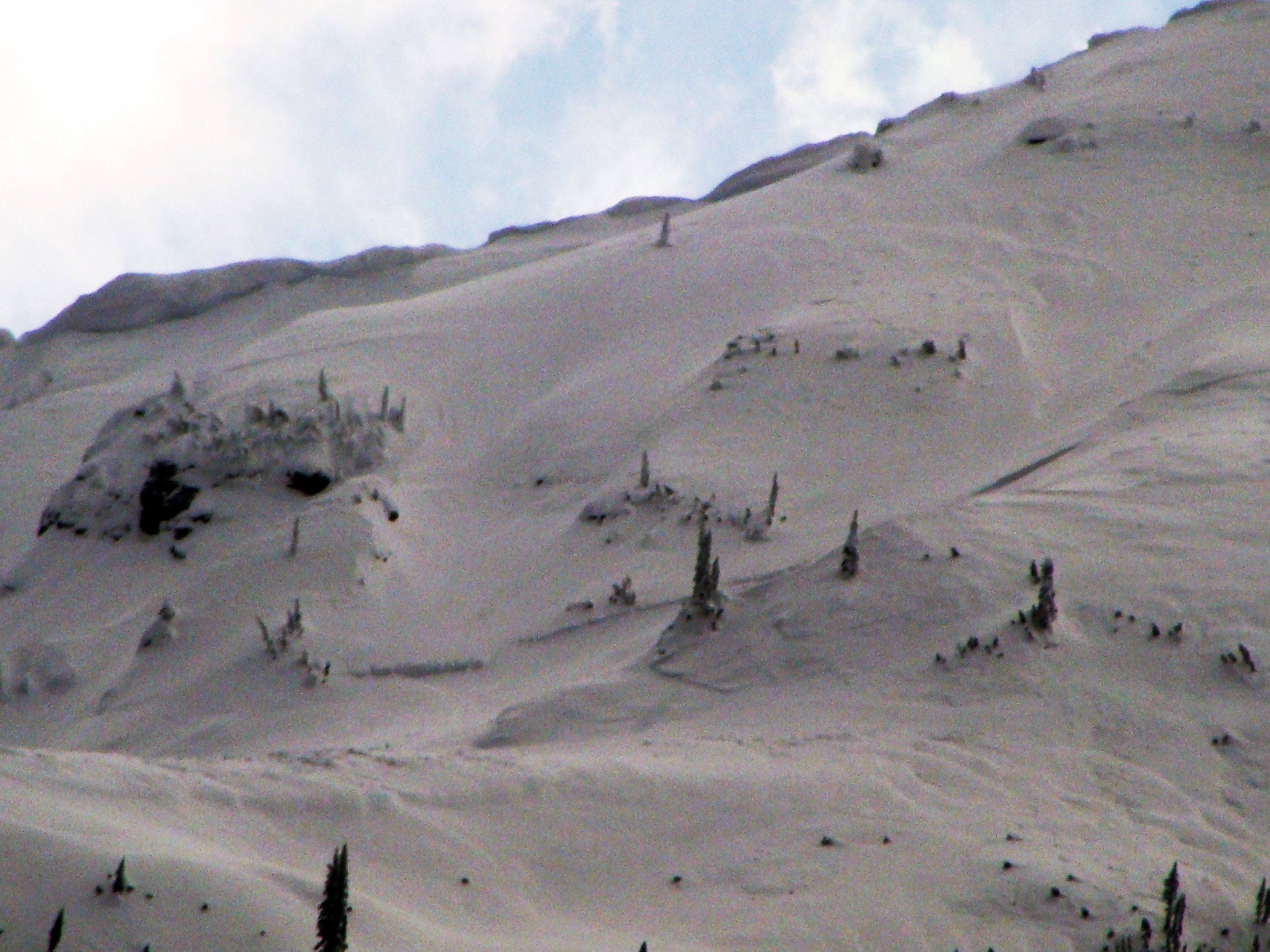
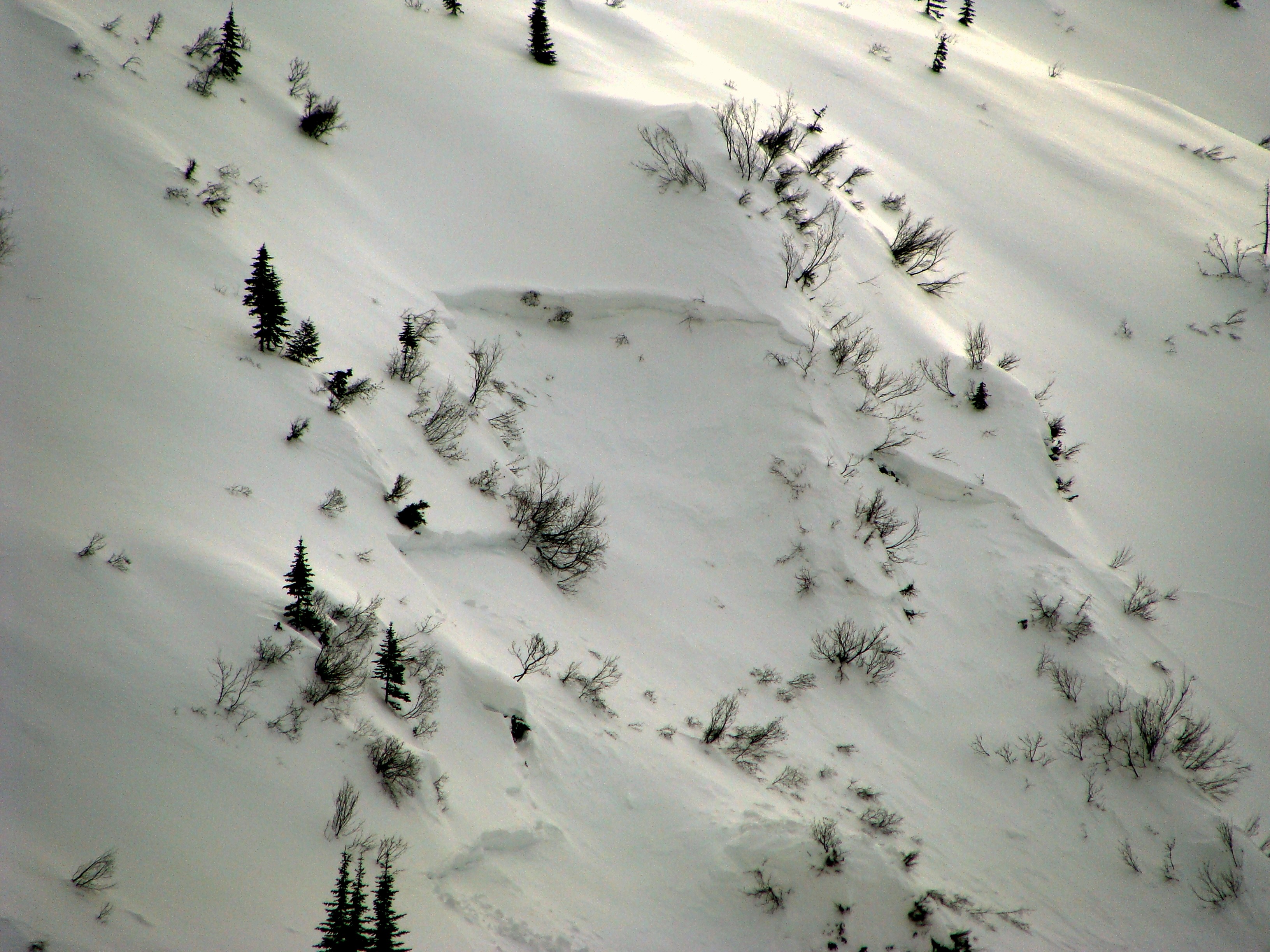
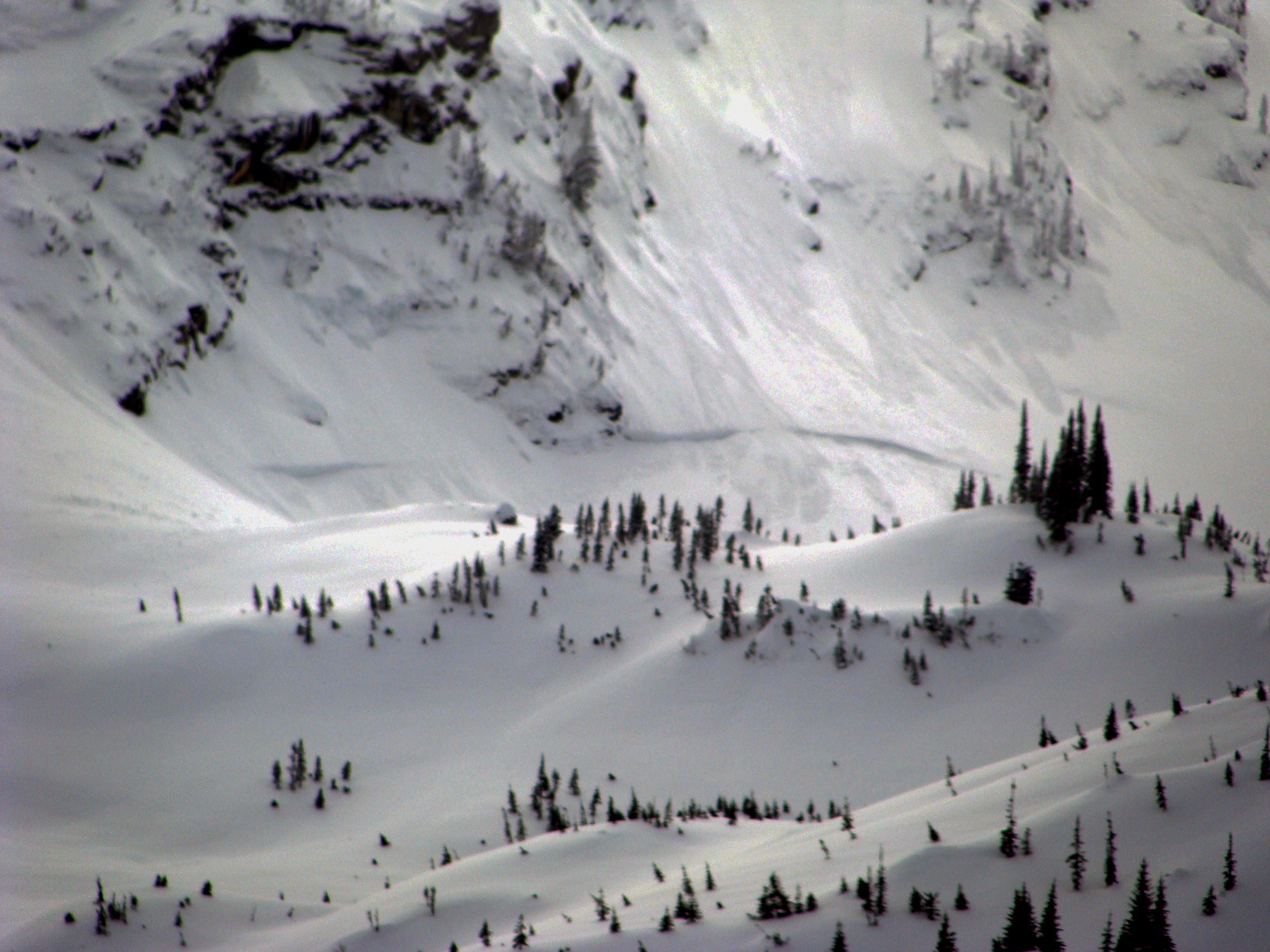
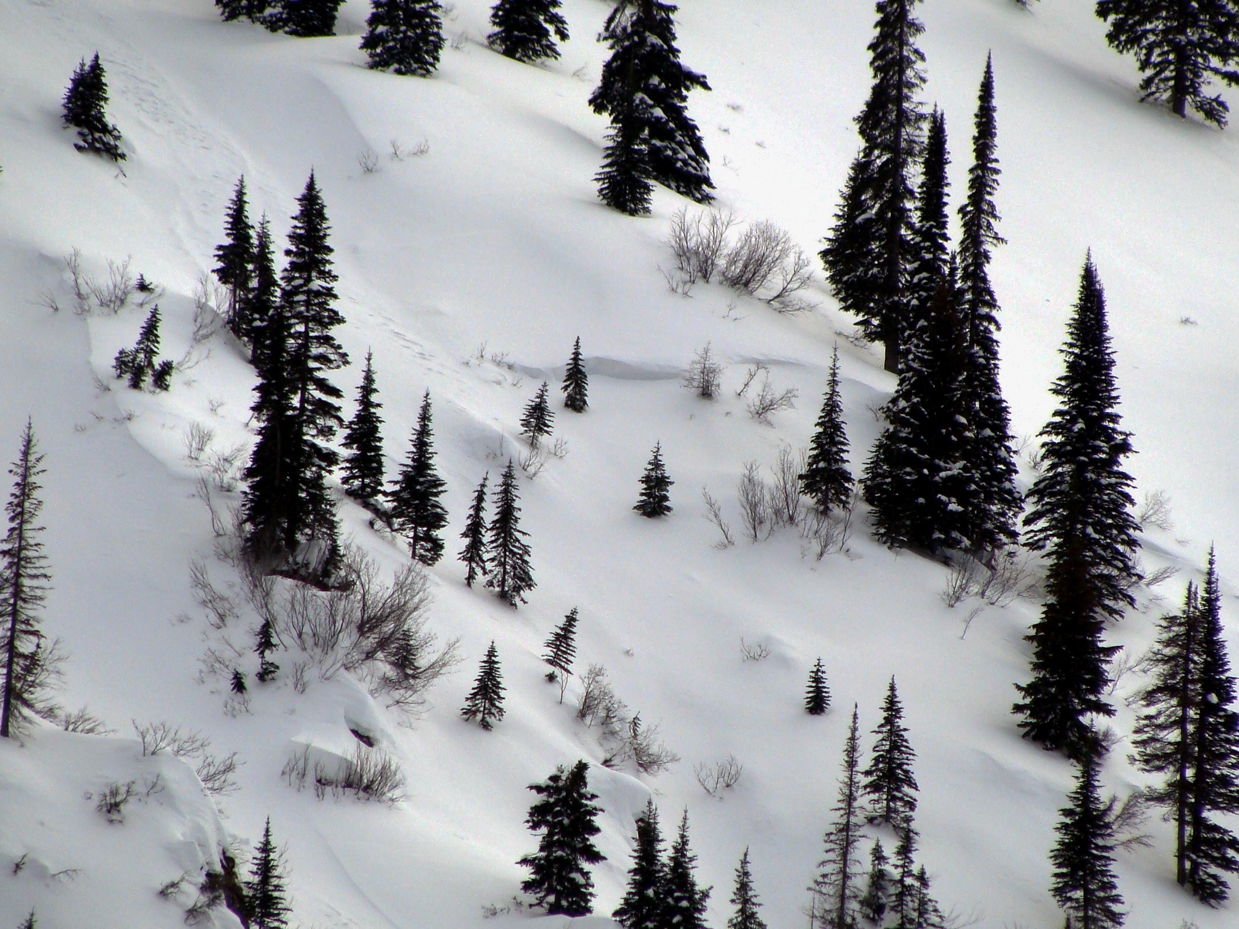
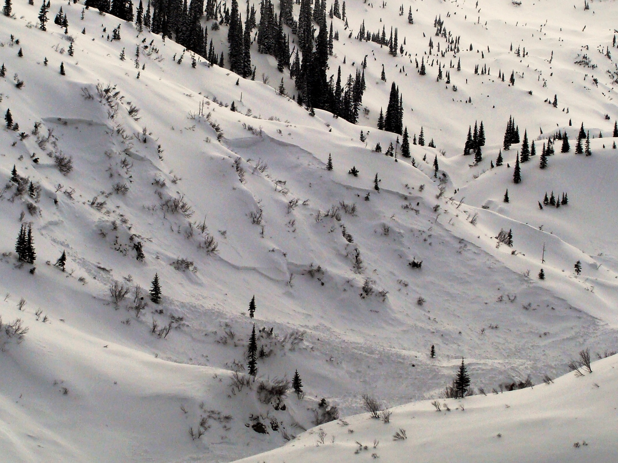
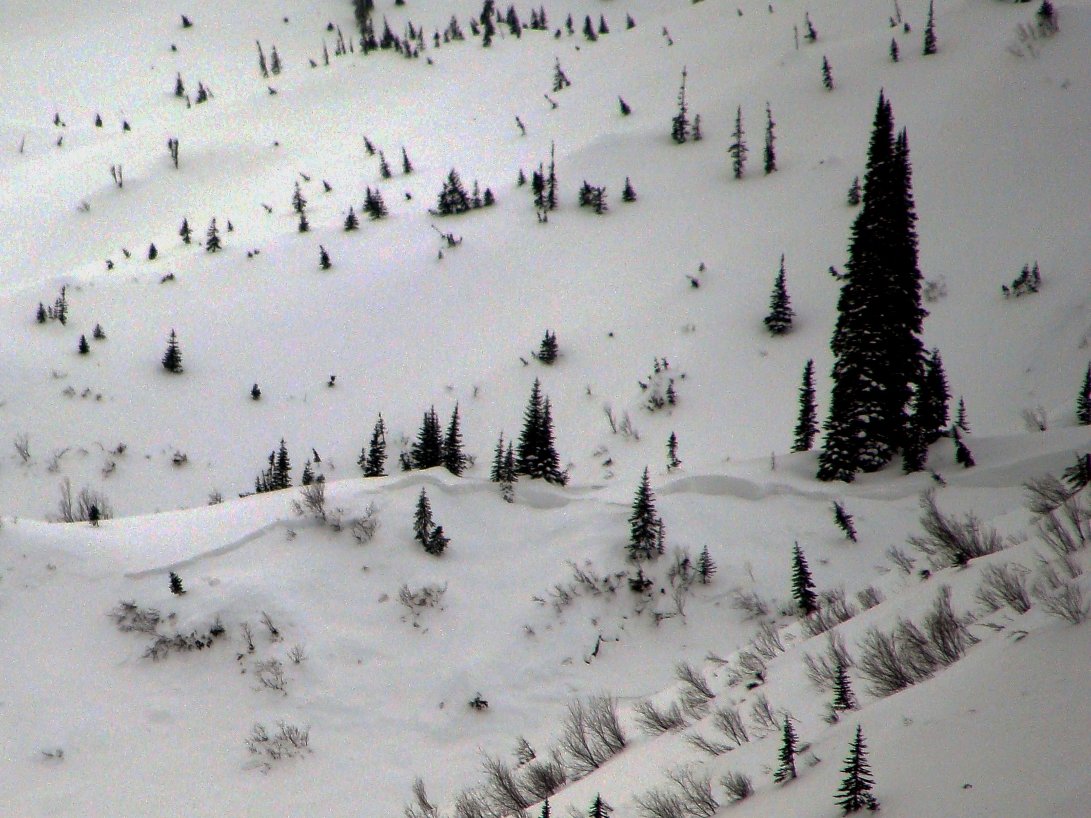
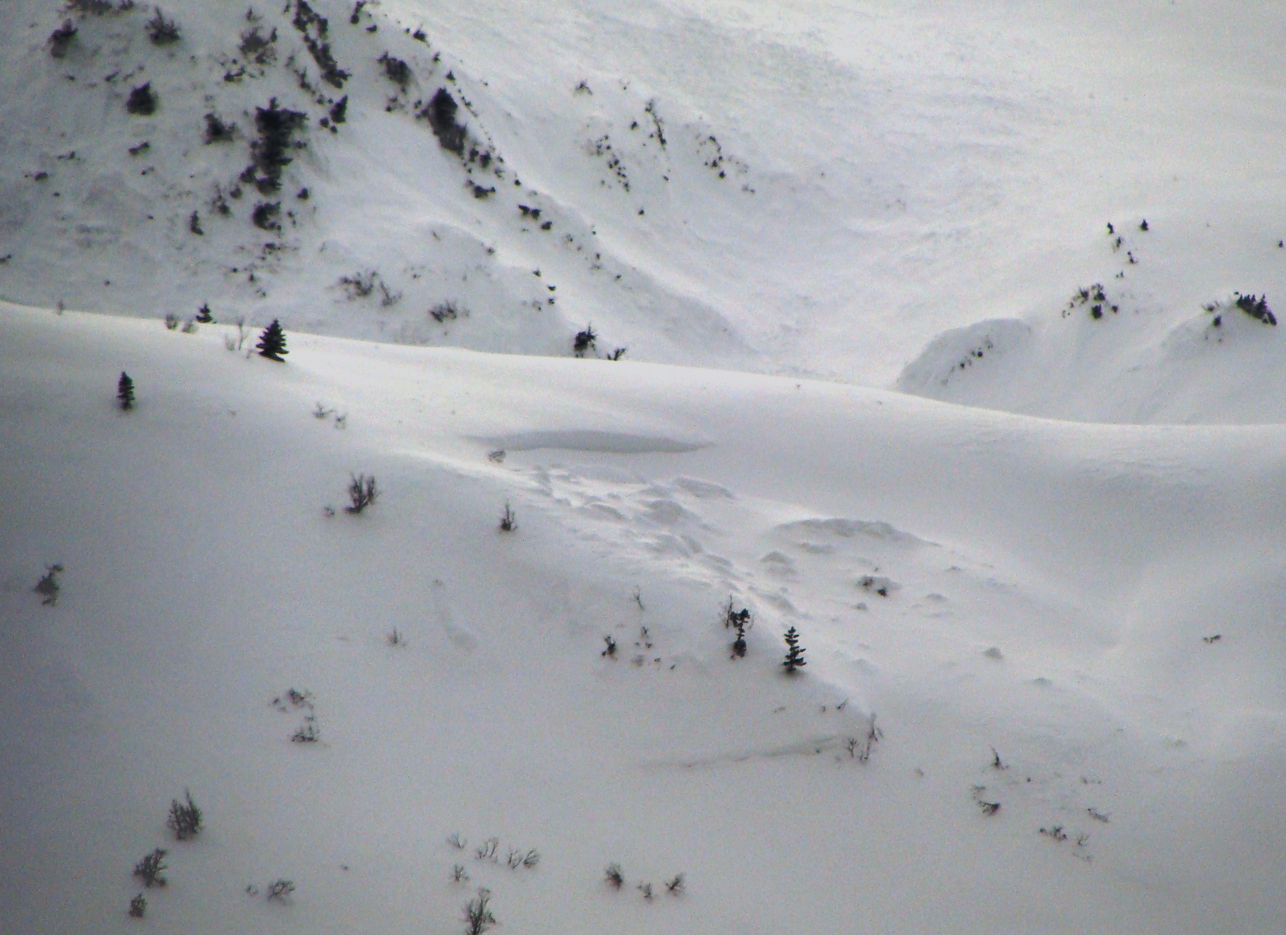
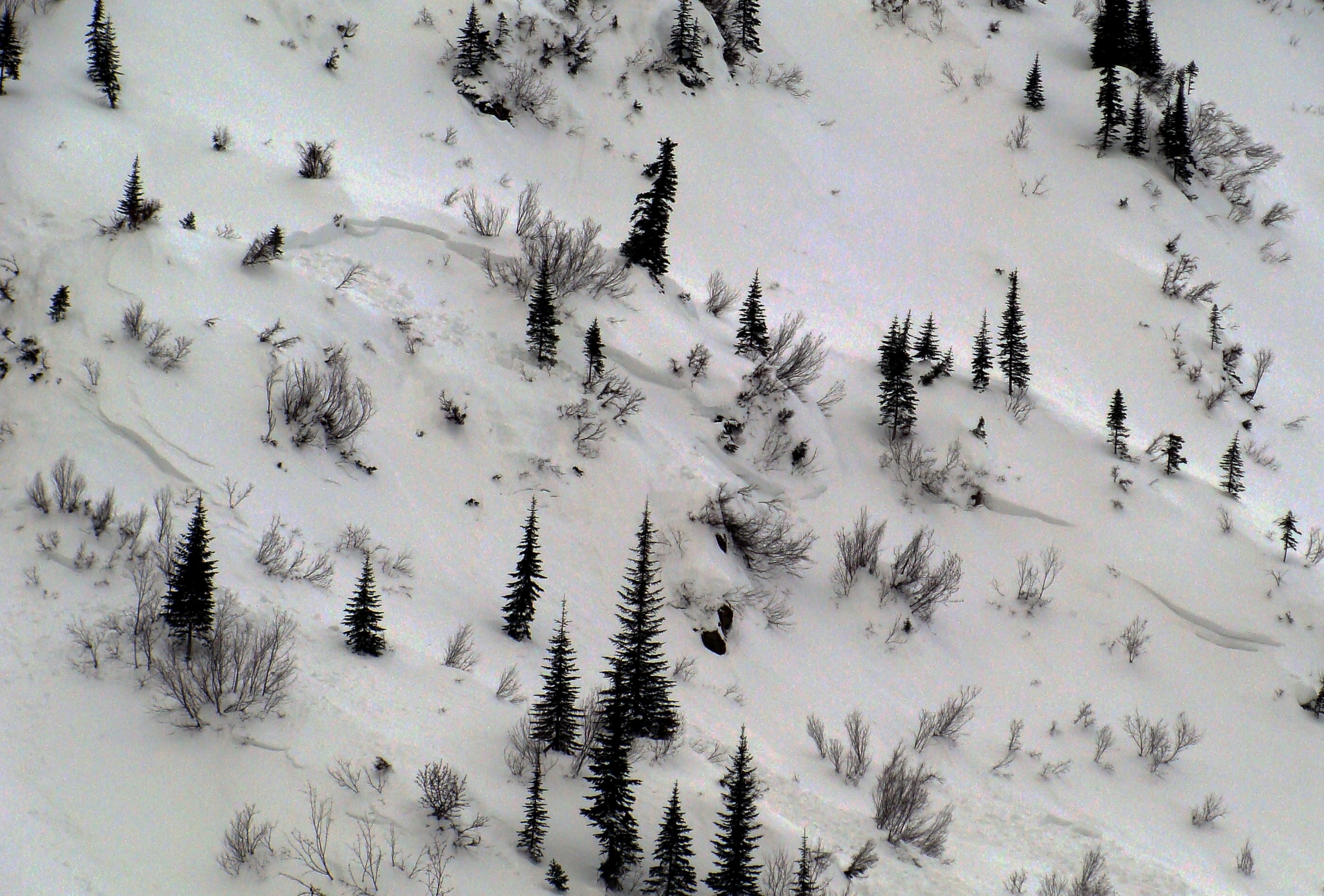
I visited the Cascadilla drainage to catalog recent avalanche activity associated with the Atmospheric River event from February 20 and 21.
- Most every avalanche path in this drainage slid during the storm. Three paths ran as hard slabs and produced D3 debris at the mid and upper elevations.
- Twelve mid-elevation paths produced D2 soft slab debris which terminated in the valley floor.
- 10-15 smaller soft slab slides were noted in cross-loaded convex terrain features between 5000 and 5500 feet.
- Avalanche crowns ranged in elevation from around 5000 to 6600 feet and were on NW-NE-SE aspects.
- The surface snow, which was cold-smoke quality yesterday, had warmed and densified but was still in good shape.
Weather
- Air Temp
- 22
- Cloud Cover
- broken
- Wind Loading
- moderate
- Rain Elevation
- 1000
- Recent Snowfall
- 0
- Snow Avail For Transport
- moderate amounts
Avalanche
- Size
- D3
- Type
- HS
- Count
- 6
- Aspect
- SE
- Trigger
- N
- Elevation
- 5900 ft
I could not see the crowns and therefore can not estimate slab characteristics