
Quick report
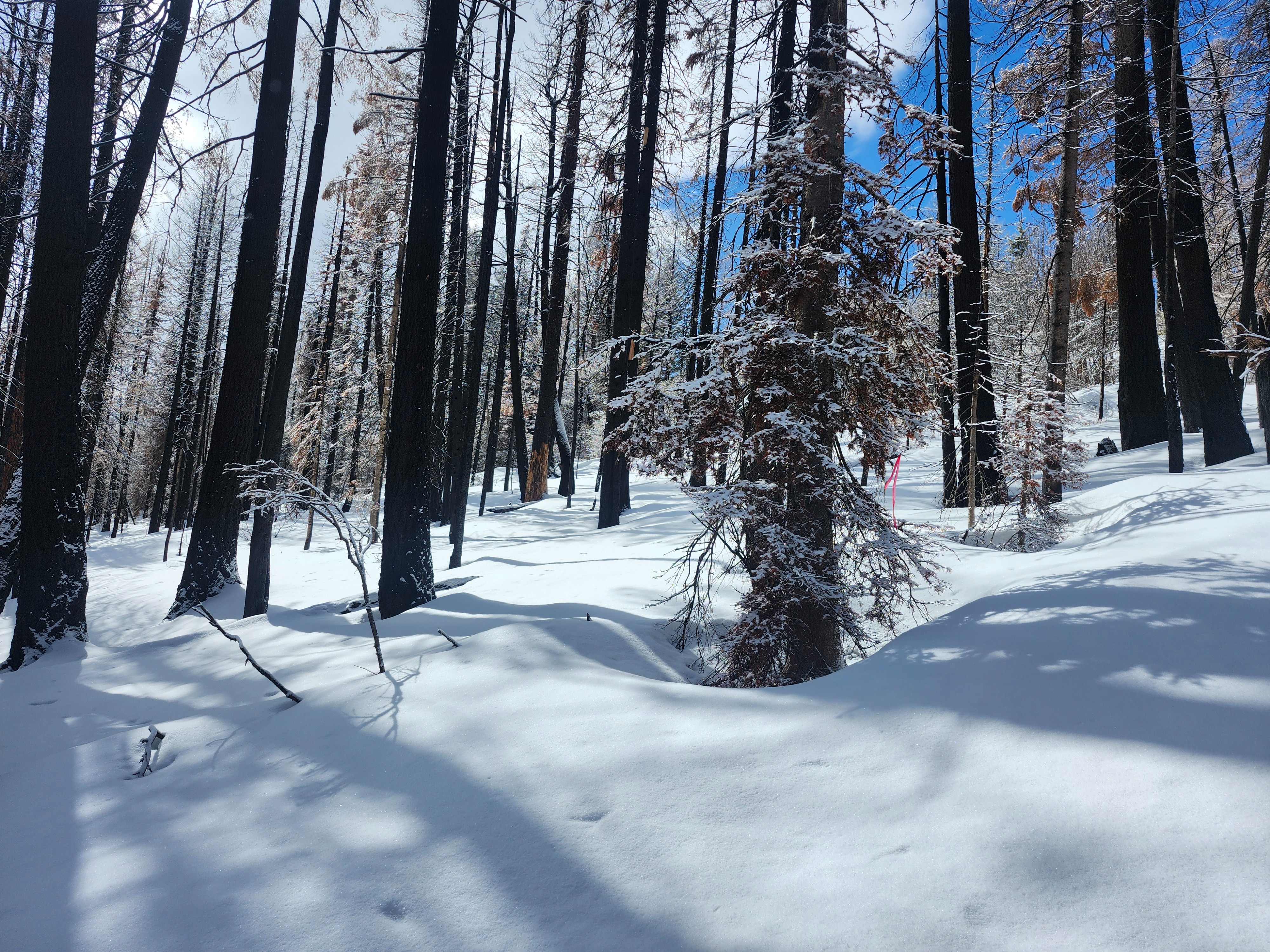
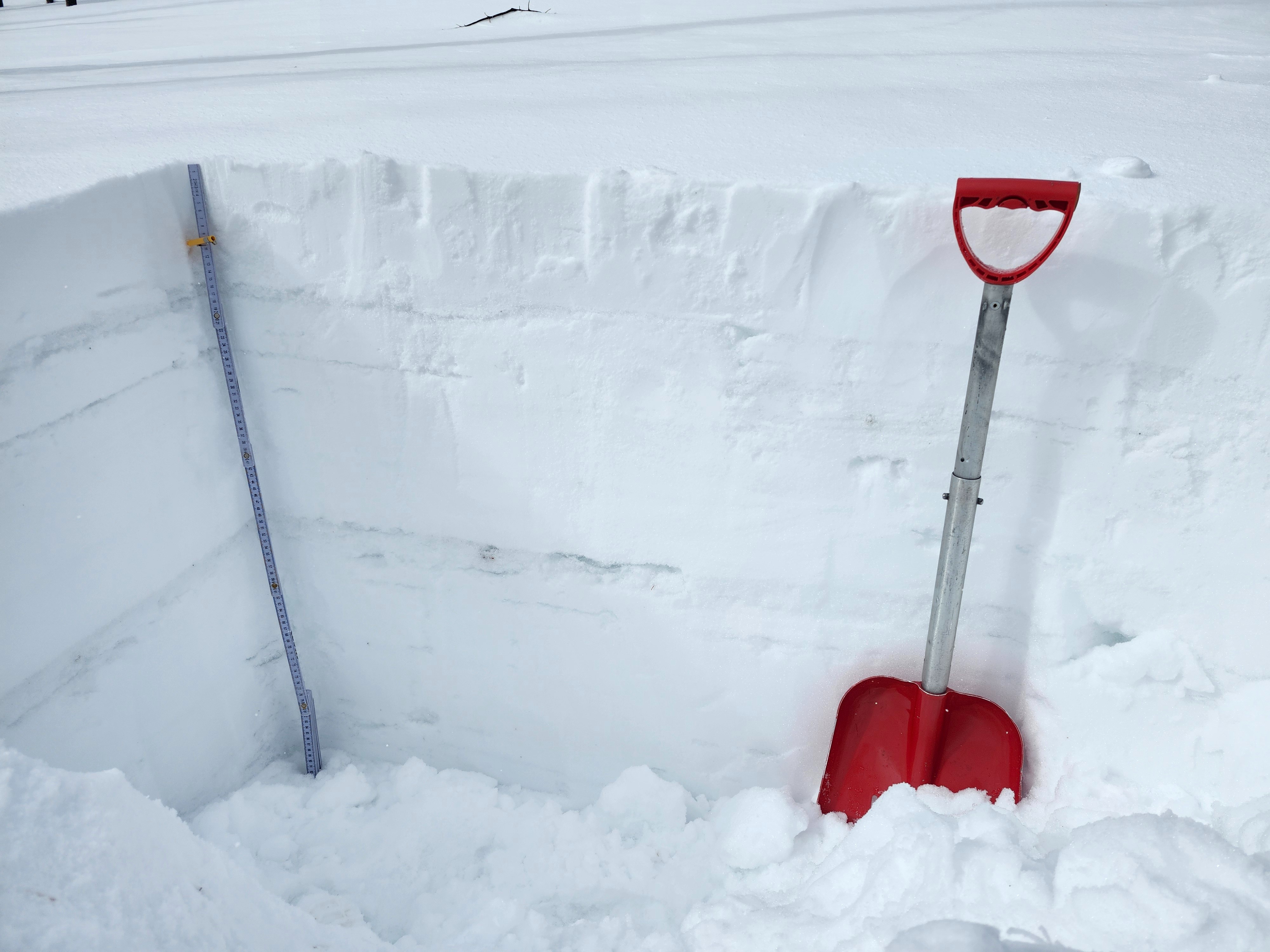
I parked at 5600 feet, as roads got sloppy and slippery above this elevation. I was able to mostly skin from here on patchy snow. The snow became continous enough to ski (and potentially avalanche!) around 6500 feet. I broke through the crust into moist snow until I reached upper elevations above 7300 feet. A quick pit on a SE slope showed multiple crust layers in the snowpack, some of which were associated with weak facet layers.
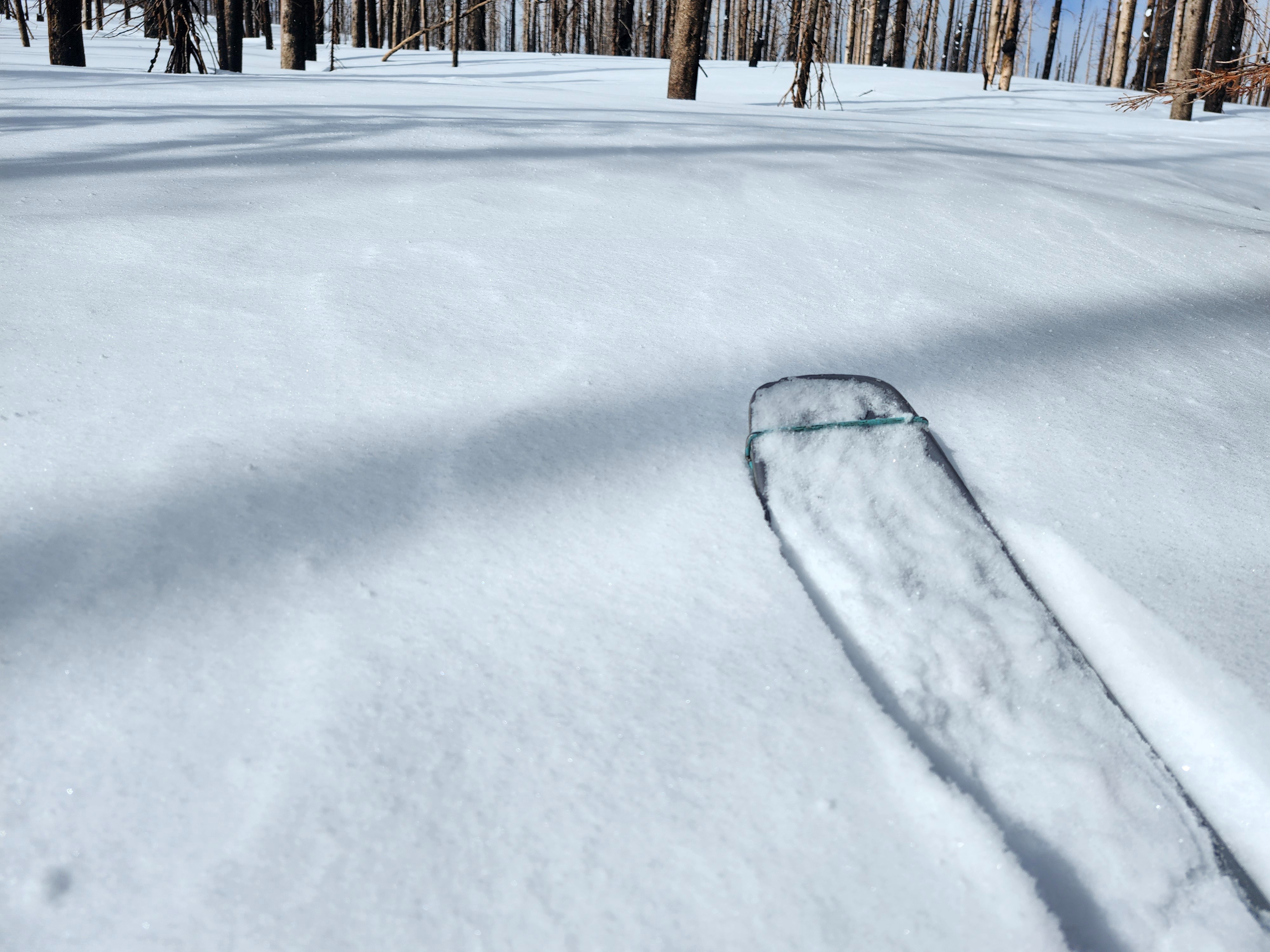
Ski quality was good where the new snow stayed dry and the crust stayed supportive.
Avalanche hazard was moderate where I travelled, due to only isolated small wind slab formation. However, I suspect in other parts of the range there is more wind slab formation, and hazard is considerable.
Weather
- Air Temp
- 26-32
- Cloud Cover
- broken
- Wind Loading
- light
- Rain Elevation
- 4200
- Recent Snowfall
- 5-15
- Snow Avail For Transport
- large amounts
Last night's rain snow line was around 4200 feet, but accumulated snow from previous storms didn't start until 5600 feet. Where I dug at 7800 feet, winds were light, but they sounded stronger higher up and were likely transporting larger snow amounts at higher elevations. Visibility was in and out.
Snowpack
At 6000 feet there was an inch or less of new snow. By about 7000 feet new snowfall amounts had increased to 3-5 inches.
A crust marks the old /new snow interface below the soft storm snow. This crust was breakable, and the snow underneath was moist up until about 7300 feet elevation. Above this elevation I stayed mostly on top of the crust while skinning and skiing, and the snow under the crust was dry.
I dug at 7800 feet on a SE aspect and found a series of crusts in the upper 3 feet of the snowpack. Some of these crusts had facets above or below them.