
Quick report
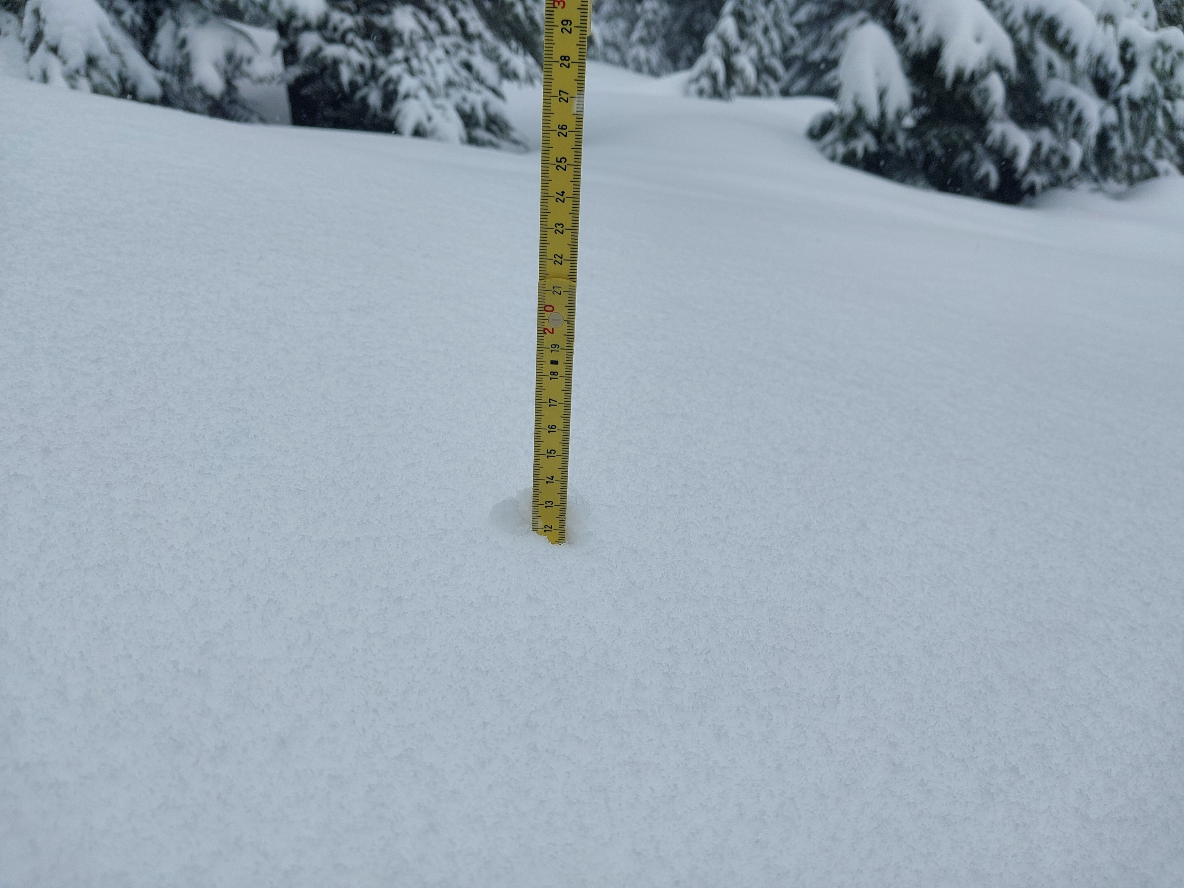
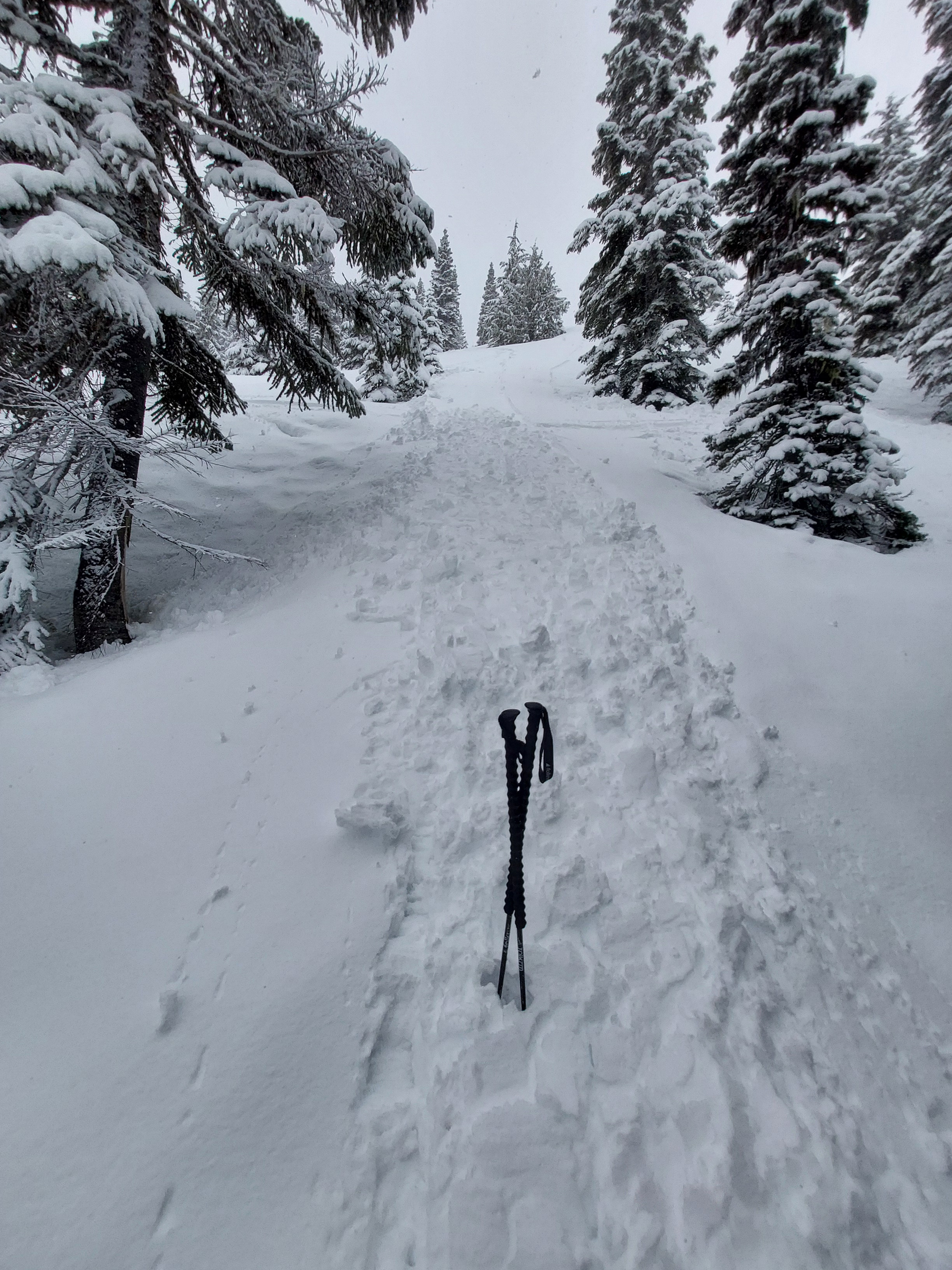
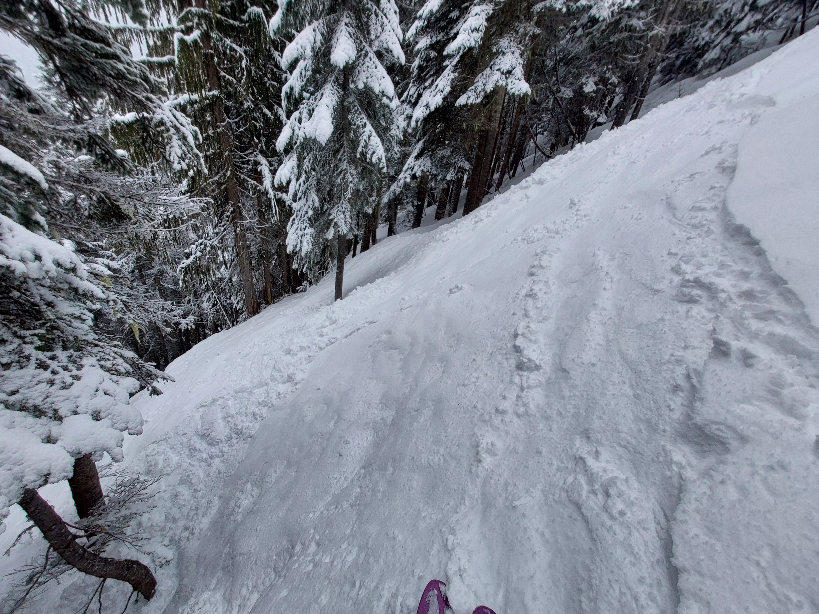
3-5" (10-12cm) of new snow with moderate west wind. Little to no wind slab hazard observed at mid-elevations. The top 60cm of the snowpack, including the new snow was well bonded on all but SE-SW. Loose wet avalanches were easy to trigger on steep, sun-exposed slopes, despite the thick obscured skies.
Triggered roller ballsWeather
- Cloud Cover
- obscured
- Wind Loading
- light
- Rain Elevation
- 3000
- Recent Snowfall
- 10-12
- Snow Avail For Transport
- moderate amounts
Blustery, stormy day. surprisingly minimal blowing snow, though I'd assume there were drifts at upper elevations. HST increased with elevation. It was moist below 4,500ft and on SE-SW, but otherwise dry. The April sun was strong enough to warm steep, solar slopes, despite the thick, obscured skies.
Snowpack
Summary
Most slopes had 12-15cm of snow over the 3/29 interface, which isn't a crust on NW-NE.
Sun-exposed SE-SW slopes held 7-10cm of moist snow on the 3/29-30 crust. Shaded areas, even on S, (immediately shaded by trees or other features) held significantly more dry snow over the 3/29 crust.
At the ridge of Moonlight, 5,280ft, we found new snow on unreactive older drifts. The new snow showed no signs of wind transport or fresh drifts.
Profiles
Skyline ridge, NNW, 5280ft, 15*
HS 315cm
0-14cm: F+, new snow, dry
14-18cm: 1F, crust, 3/29, dry
18-34cm: 4F+-1F, rounds, dry
34-63cm: P+-K, crust, 3/25, dry
63-75cm: 1F, MF, moist
Avalanche
We triggered a number of wet avalanches between 4,800-3,900ft on SW-SE, >40 degrees. We could not trigger them on similar east aspects. Some gained considerable mass (though only D1) despite being <10cm deep. All ran on the most recent crust from ~3/30